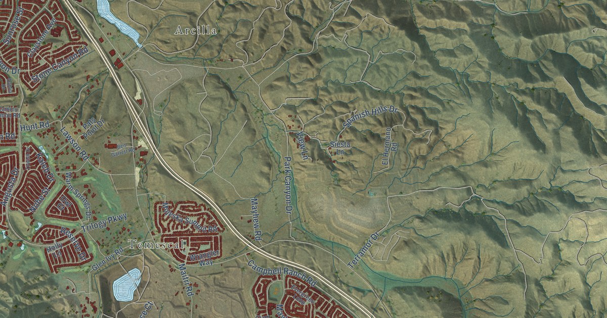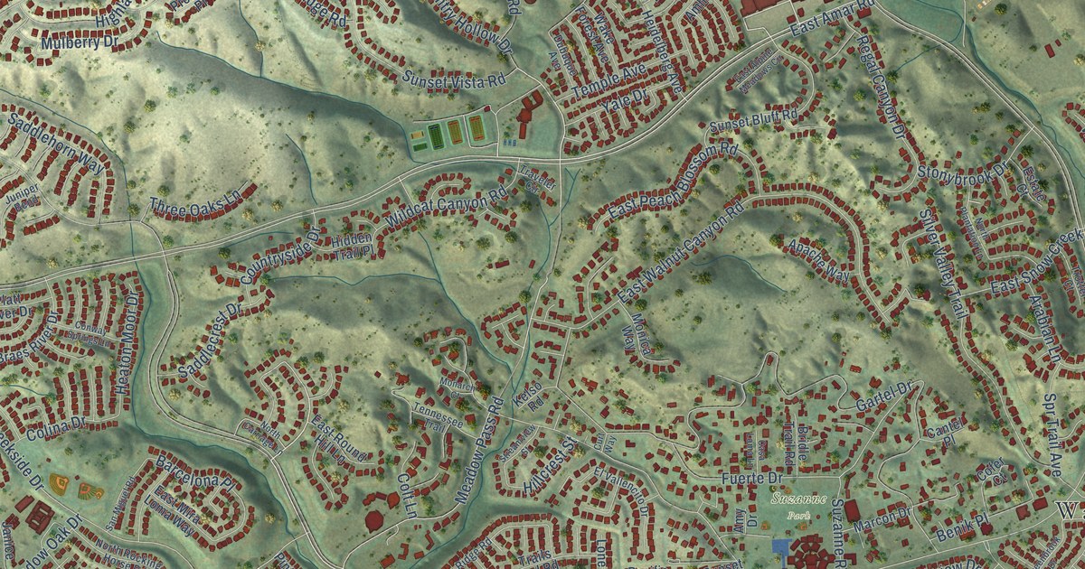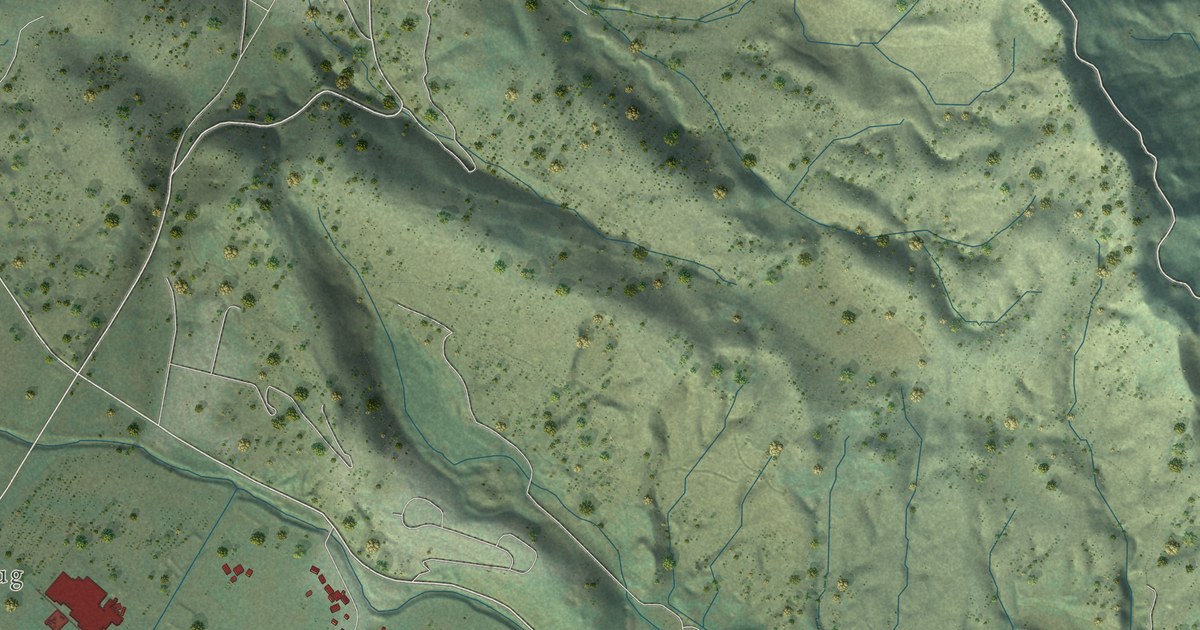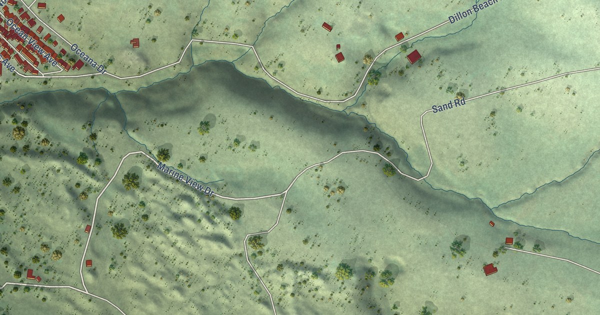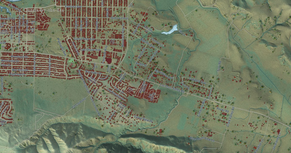
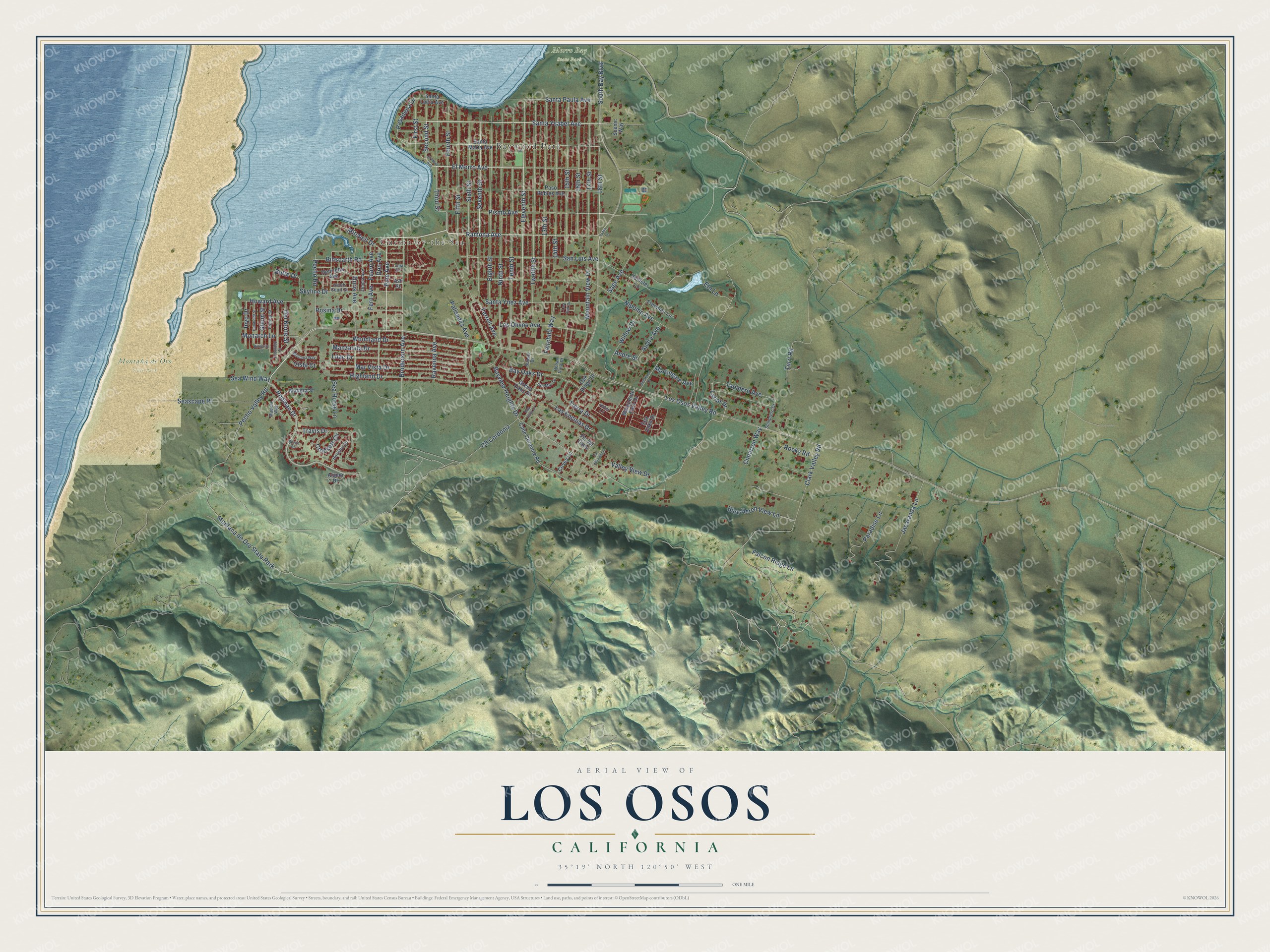
This beautifully detailed map of Los Osos, California was created in 2026 using aerial imagery combined with modern topographical, census, street and landmark data. It's a modern aerial view of Los Osos in San Luis Obispo County, California, that combines modern data with a vintage aesthetic. The roads feature printed names, and if you look closely you can find your exact house accurately shown in its correct location.
Explore an aerial view of Los Osos, California
On this map you'll find Cuesta-by-the-Sea, Baywood Park, Montaña de Oro State Park, Morro Bay State Park, Ramona Avenue, Fourth Street, 18th Street, Montana de Oro State Park, Rodman Drive, Pecho Valley Road, Fearn Avenue, Pasadena Drive, and more. Each red shape is a building, so zoom in on the preview and look for yours.
Los Osos is a community in San Luis Obispo County. The Census Bureau counted 14,465 people here in 2020. The map prints the town name in its title panel, with the coordinates below it.
Take a closer look at the Los Osos map
Names on this map
These names are printed on this map.
Places: Cuesta-by-the-Sea, Baywood Park, Montaña de Oro State Park, Morro Bay State Park and Montana de Oro State Park.
Streets and roads: Ramona Avenue, Fourth Street, 18th Street, Rodman Drive, Pecho Valley Road, Fearn Avenue, Pasadena Drive, El Morro Avenue, Fern Avenue, Lariat Drive, Santa Ynez Avenue, Ninth Street.
More street names, A to Z
13th Street, 14th Street, 15th Street, 16th Street, 17th Street, Alamo Drive, Andre Avenue, Andre Street, Ash Street, Aster Lane, Bay Oaks Drive, Bayview Heights Drive, Bay Vista Lane, Binscarth Road, Blue Heron View Lane, Bowie Drive, Broderson Avenue, Buckskin Drive, Butte Drive, Butterfly Lane, Calle Cordoniz Road, Cimarron Way, Clark Valley Road, Cll Cordoniz, Covey Lane, Crockett Circle, Del Mar Drive, Del Norte Street, Don Avenue, Donna Avenue, Doris Avenue, Eighth Street, El Dorado Street, Eleventh Street, El Moro Avenue, Eto Lane, Fairchild Way, Falcon Ridge Lane, Ferrell Avenue, Fifth Street, First Street, Freeman Lane, Fresno Street, Glenn Street, Green Oaks Drive, Henrietta Avenue, Highland Drive, Hollister Lane, Houston Drive, Howard Avenue, Humboldt Street, Inyo Drive, Jacaranda Lane, La Mirada Lane, Las Encinas Drive, Lilac Drive, Loma Street, Los Olivos Avenue, Los Osos Valley Road, Lost Oak Drive, Madera Street, Madera Way, Manzanita Drive, Marguerite Park Drive, Martingale Avenue, Mar Vista Drive, Mitchell Drive, Monarch Lane, Montana Way, Mountain View Drive, Nipomo Avenue, Oak Ridge Drive, Ocean View Drive, Palisades Avenue, Paradise Lane, Paso Robles Avenue, Pecho Road, Pine Avenue, Pismo Avenue, Ravenna Avenue, Rocky Road, Rosina Drive, Sage Avenue, San Luis Avenue, Santa Lucia Avenue, Santa Maria Avenue, Santa Paula Avenue, Santa Ysabel Avenue, Scenic Way, Sea Horse Lane, Sea Oaks Drive, Seascape Place, Sea Wind Way, Second Street, Seventh Street, Sixth Street, Skyline Drive, Sombrero Drive, South Bay Boulevard, South Court Street, Sunset Drive, Tapidero Avenue, Tenth Street, Third Street, Tierra Drive, Travis Drive, Turri Road, Twelfth Street, Valley View Drive, Vis del Osos, Vista Court, Willow Drive, Woodland Drive, Yama Lane.
Created by KNOWOL in 2026. The buildings are small red shapes, the roads carry their printed names, and shaded relief shows the shape of the land. The title panel reads "AERIAL VIEW OF LOS OSOS CALIFORNIA" with 35°19' NORTH 120°50' WEST.
It suits a den, a classroom or a front hall, and it makes a gift for anyone with Los Osos roots. Open the preview and find the block you know. See sizes and frames for the Los Osos map.