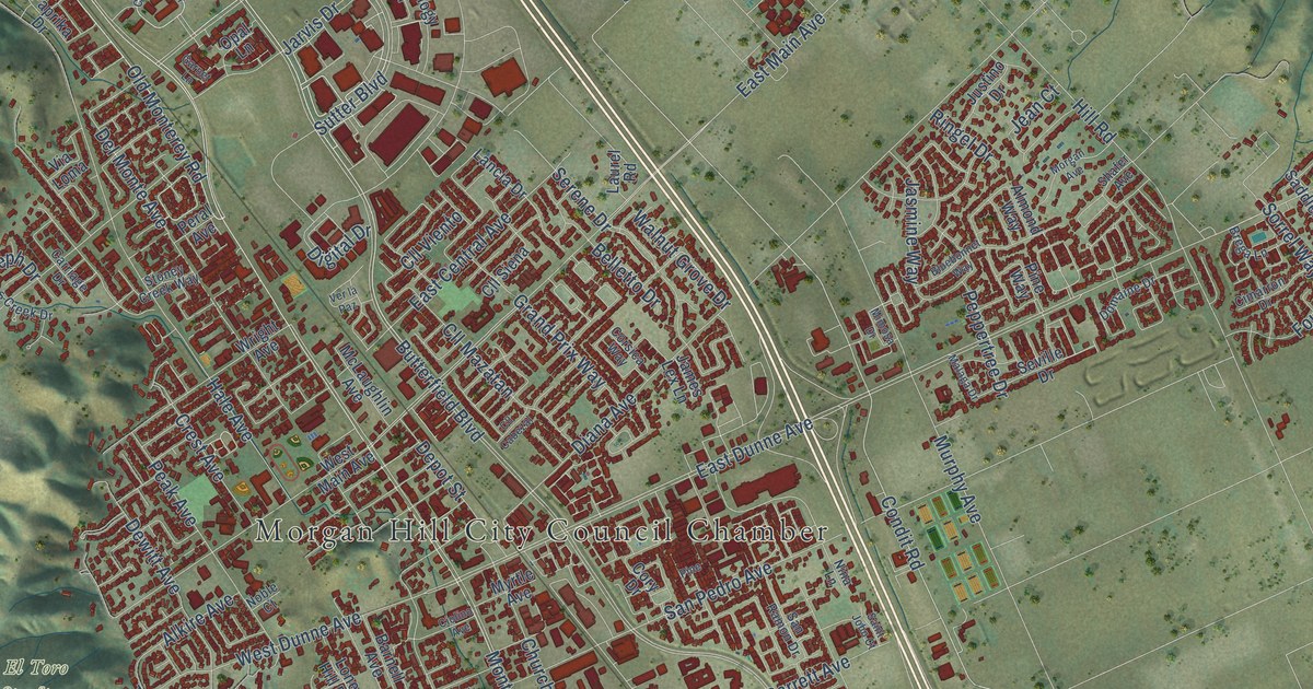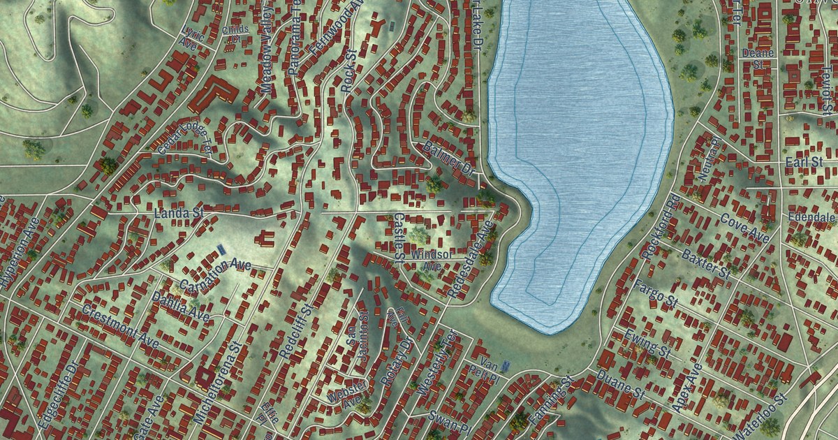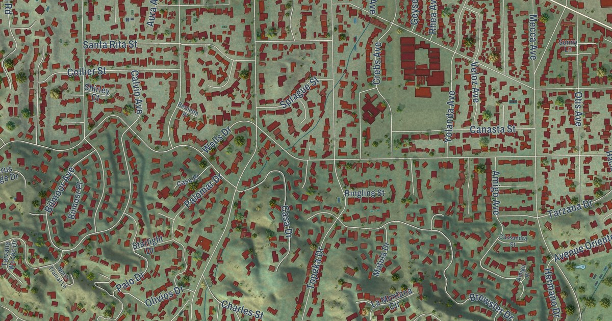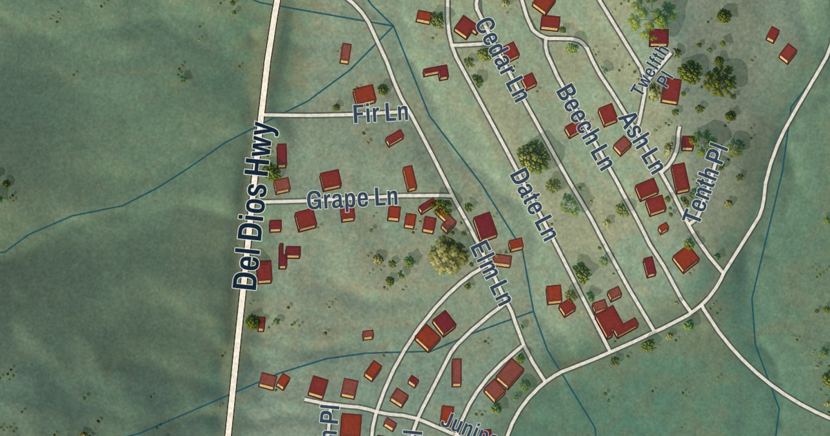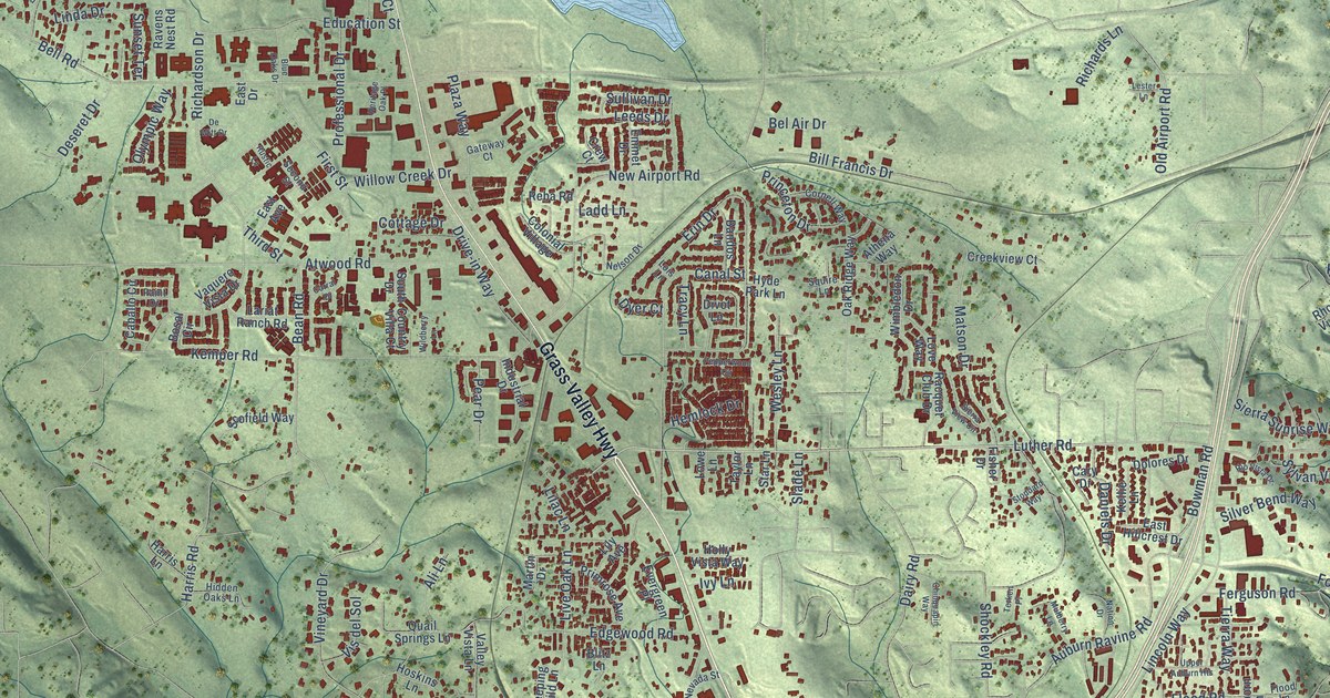
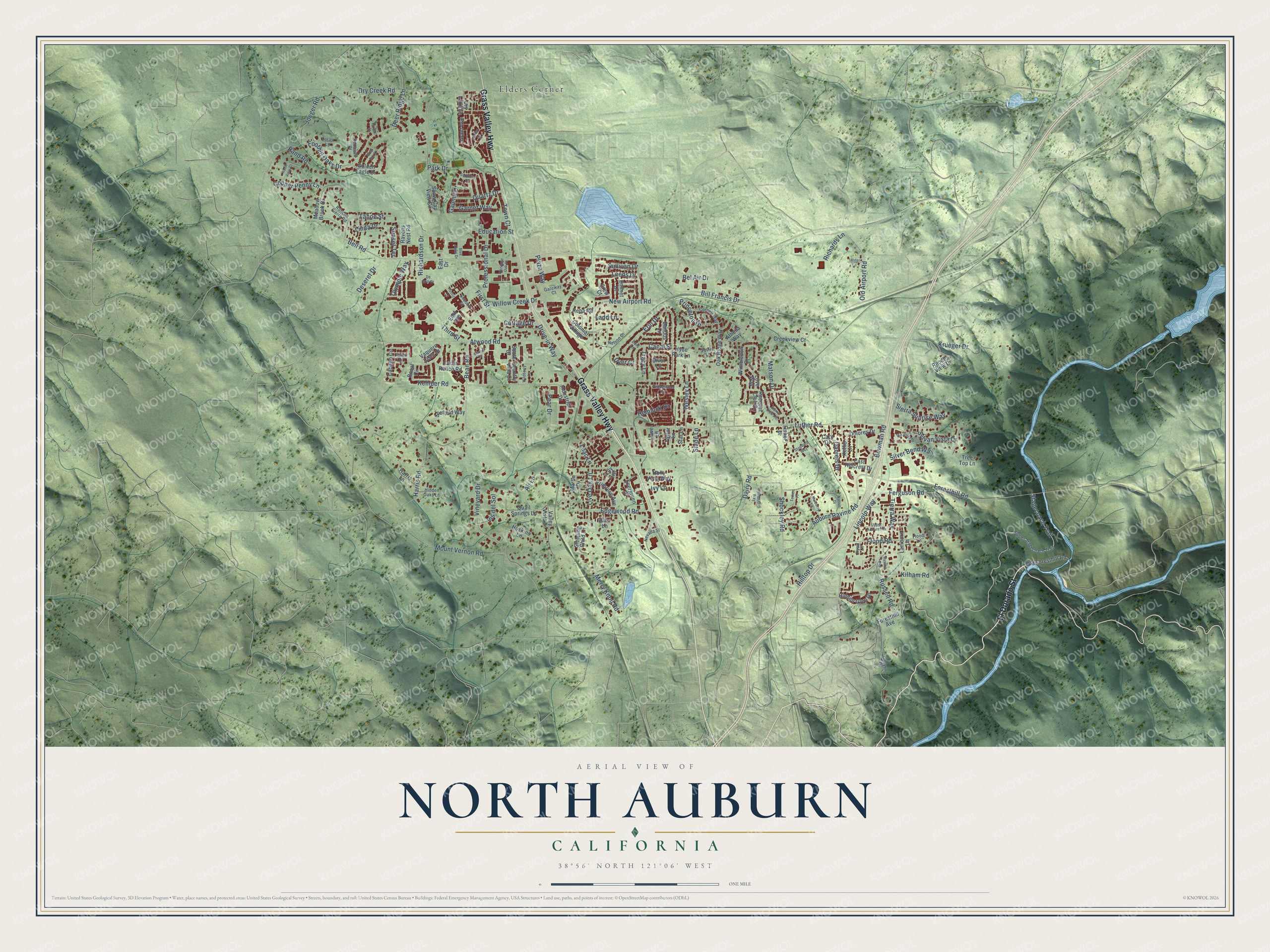
This beautifully detailed map of North Auburn, California was created in 2026 using aerial imagery combined with modern topographical, census, street and landmark data. It’s a one-of-a-kind view of North Auburn that combines accurate data with a vintage aesthetic. The map shows every building in its true location, many of the roads carry their names, and the shaded topographic relief shows the shape of the land.
Explore an aerial view of North Auburn, California
On the map you’ll find Elders Corner, along with Grass Valley Highway, El Dorado Street, Luther Road, Bowman Road, Deer Ridge Lane, Russell Road, Bell Road, Stagecoach Trail, Lincoln Way, Richardson Drive, Kemper Road, and more. If you look closely you can even find your house accurately drawn in its correct location. Zoom in on the preview to look for yours.
Did you know this piece of North Auburn, California history?
During World War II, the Army built DeWitt General Hospital here, three miles north of downtown Auburn. The first patient arrived on February 17, 1944. Its 2,285 beds filled one-story buildings across 284 acres. The Army closed it on December 31, 1945. In 1972 the grounds passed to Placer County, which turned them into its government center.
Take a closer look at the North Auburn map
Street and place names on the North Auburn, California map
These names are printed on the map of North Auburn, California.
Places: Elders Corner.
Streets and roads: Grass Valley Highway, El Dorado Street, Luther Road, Bowman Road, Deer Ridge Lane, Russell Road, Bell Road, Stagecoach Trail, Lincoln Way, Richardson Drive, Kemper Road, Edgewood Road.
More street names, A to Z
Ali Lane, Athena Way, Atwood Road, Auburn Ravine Road, Bandos Lane, Bean Road, Bel Air Drive, Bill Francis Drive, Blitz Lane, Blue Oaks Drive, Bosal Circle, Brinley Drive, Caballo Circle, Canal Street, Canyon Drive, Cary Drive, Chinquapin Way, Colonial Village, Copper Penny Lane, Cornell Way, Corral Drive, Cottage Drive, Country Villa Court, Creekview Court, Crew Court, Dairy Road, Daniels Drive, Deseret Drive, De Witt Drive, Divot Lane, Dolores Drive, Drive-in Way, Dry Creek Road, Dry Lake Lane, Dyer Court, East Avenue, East Drive, East Hillcrest Drive, Education Street, Emmet Drive, Erin Drive, Evergreen Place, Ferguson Road, First Street, Fisher Drive, Flood Lane, Flood Road, Foothill Oaks Drive, Foresthill Avenue, Foresthill Road, Foxtail Court, Galena Drive, Garnet Way, Gateway Court, Golden Eagle Drive, Grant Avenue, Grey Fox Lane, Harris Lane, Harris Road, Hemlock Drive, Heritage Oak Place, Hidden Glen Drive, Hidden Oaks Lane, Hilltop Drive, Holly Vista Way, Hoskins Lane, Hyatt Lane, Hyde Park Lane, Industrial Drive, Ivy Lane, Joeger Road, Kellie Lane, Kilham Road, Krueger Drive, Ladd Lane, Lamborn Lane, Lariat Ranch Road, Leeds Drive, Lester Lane, Lilac Lane, Lily Avenue, Linda Drive, Live Oak Lane, Lois Lane, Loray Lane, Love Way, Lowe Lane, Martin Drive, Matson Drive, Meadow Brook Drive, Merry Knoll Road, Mount Vernon Road, Mulberry Lane, Nation Drive, Nelson Drive, Nevada Street, New Airport Road, Oak Ridge Way, Old Airport Road, Old Foresthill Road, Olympic Way, Paint Drive, Park Drive, Pear Drive, Pepperwood Circle, Plaza Way, Primrose Avenue, Princeton Drive, Professional Drive, Quail Springs Lane, Quartz Drive, Racquet Club Drive, Rancho Sierra Road, Rand Road, Ravens Nest Road, Reba Road, Redhawk Court, Rhodes View Drive, Richards Lane, Rio Vista Drive, Rock View Court, Russell Loop, Rustic Lane, Sapphire Drive, Scofield Way, Second Street, Shockley Road, Sierra Sunrise Way, Sierra View Circle, Silver Bend Way, Slade Lane, Sleeping Child Lane, Snow Cap View Circle, South Drive, Squire Lane, Star Lane, Stoddard Way, Sullivan Drive, Sunset Terrace, Sylvan Vista Drive, Tahoe Street, Taylor Lane, Terken Place, Third Street, Tierra Way, Town Court, Tracy Lane, Tree Top Lane, Upper Auburn Heights, Upper Stagecoach Trail, Valley Vista Lane, Vaquero Vista Drive, Vineyard Drive, Vis del Sol, Wesley Lane, Wildberry Lane, Willow Creek Drive, Wimbledon Drive.
See the North Auburn, California map on a wall
The North Auburn map as an 18 x 24 inch print in a black frame.

This beautifully detailed map of North Auburn makes an attractive addition to your office, library, or den, and it can even be used to teach children the geography and history of the area. It also makes a great gift for someone who left North Auburn and still calls it home. When you’re done exploring, click here to get your copy of the North Auburn map.