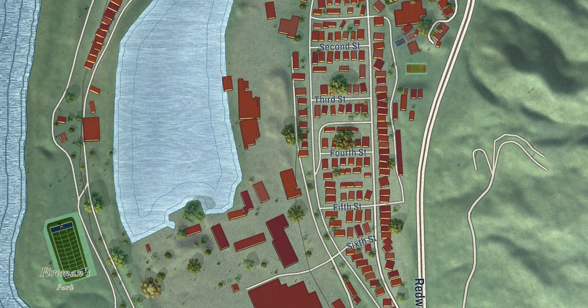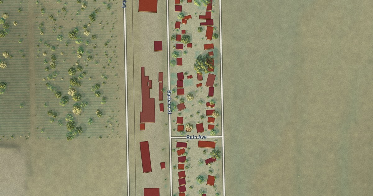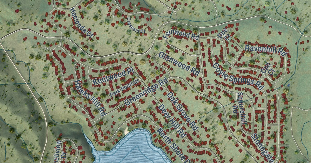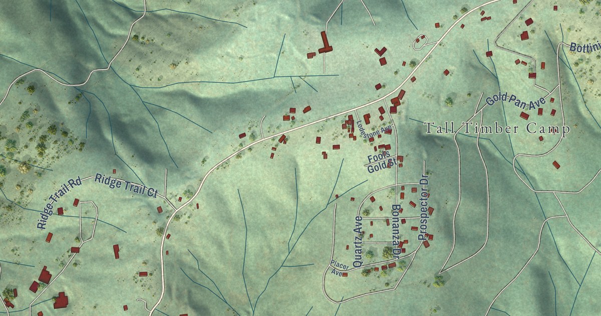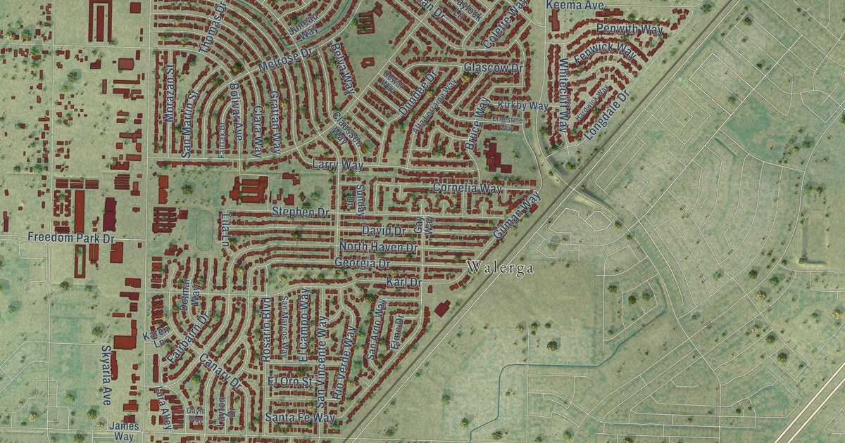
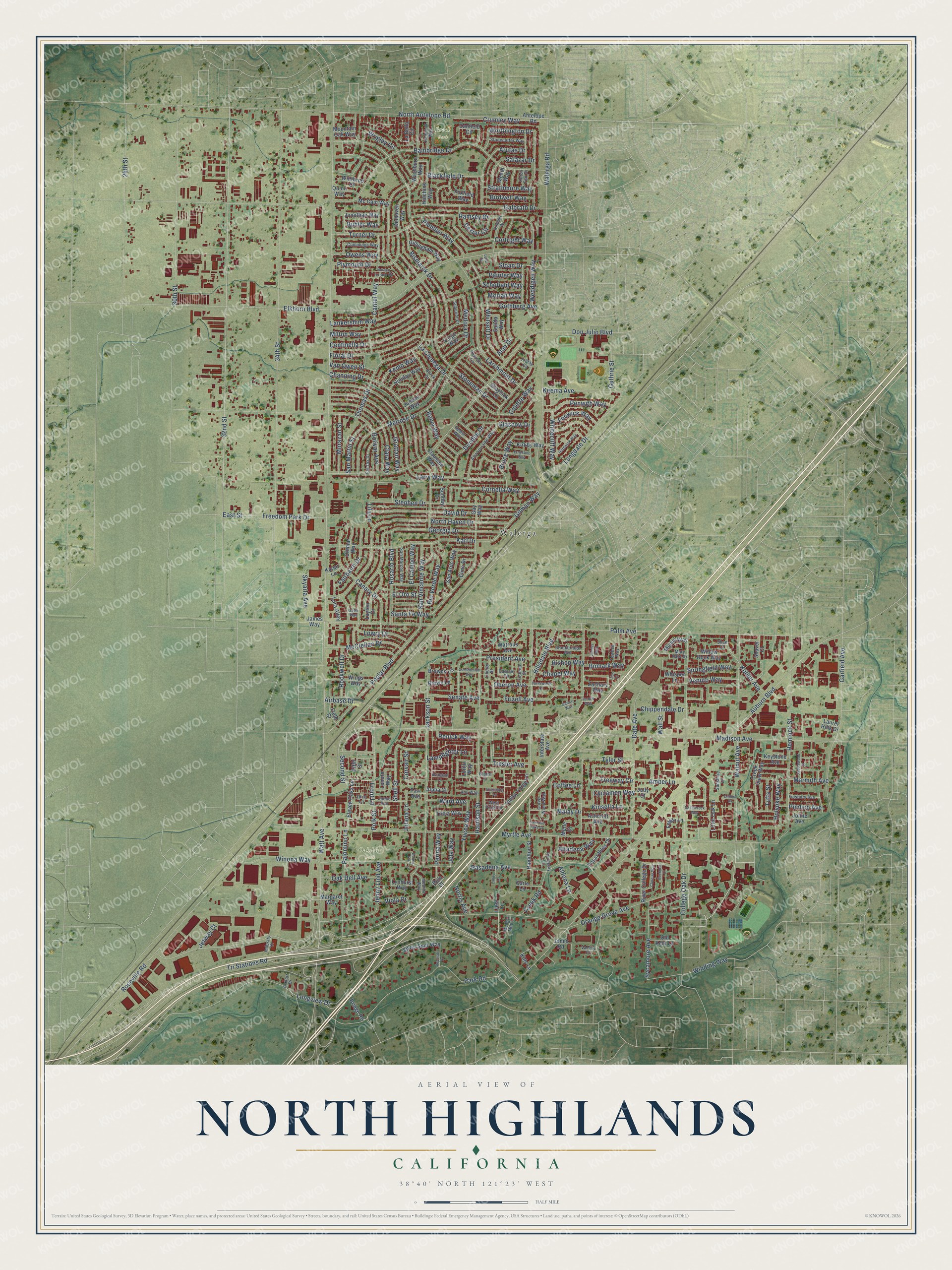
This beautifully detailed map of North Highlands, California was created in 2026 using aerial imagery combined with modern topographical, census, street and landmark data. It’s a one-of-a-kind view of North Highlands that combines accurate data with a vintage aesthetic. The map shows every building in its true location, many of the roads carry their names, and the shaded topographic relief shows the shape of the land.
Explore an aerial view of North Highlands, California
On the map you’ll find Brock Park, Oakdale Park, and Walerga, along with Roseville Road, Lamplighter Lane, Front Lane, Orange Grove Avenue, 32nd Street, Watt Avenue, Madison Avenue, Auburn Boulevard, Myrtle Avenue, and more. If you look closely you can even find your house accurately drawn in its correct location. Zoom in on the preview to look for yours.
Did you know this piece of North Highlands, California history?
From the Sacramento County Planning Department: "The area known as North Highlands did not begin to urbanize until the late 1930's when McClellan Air Force Base was constructed by the U.S. Army. Significant residential growth began in the early 1940's with the development of Planehaven, North Haven, and Highlands subdivisions."
Take a closer look at the North Highlands map
Street and place names on the North Highlands, California map
These names are printed on the map of North Highlands, California.
Places: Brock Park, Oakdale Park and Walerga.
Streets and roads: Roseville Road, Lamplighter Lane, Front Lane, Orange Grove Avenue, 32nd Street, Watt Avenue, Madison Avenue, Auburn Boulevard, Myrtle Avenue, Elkhorn Boulevard, 34th Street, Walerga Road.
More street names, A to Z
28th Street, 30th Street, Airbase Drive, Airport Drive, Alan Drive, Aldona Lane, Alpha Court, Altadena Way, Alta Lorraine Way, Amber Lane, Antelope Road, Any Way, Arutas Drive, Ashcroft Avenue, Bainbridge Drive, Baptist Court, Belva Way, Birdwell Way, Bishop Way, Bismarck Drive, Blackfield Drive, Bolivar Avenue, Bomark Way, Briargate Lane, Bridge Road, Brock Drive, Brown Lane, Browns Lane, Bruce Way, Bucknell Court, Buhler Way, Cabinet Circle, Canary Drive, Cantel Way, Carle Lane, Carmelo Oaks Court, Centinella Drive, Channing Drive, Chapel Way, Chippendale Drive, Clara Way, Claussen Way, Clothier Way, Coffee Lane, Colette Way, College Oak Drive, Collina Place, Constitution Avenue, Cornelia Way, Cortright Way, Corvair Street, Creek Road, Creek View Way, Crumley Way, Cummings Way, Curve Wood Way, Cyclamen Way, Danfield Circle, Date Avenue, David Drive, Delhaven Way, Dewar Way, Dexter Circle, Don Julio Boulevard, Donna Circle, Dotmar Way, Dundee Drive, Dutch Flat Drive, East Street, El Campo Way, Eleven Oaks Lane, Elmo Drive, El Oro Street, Ernestine Way, Fairbairn Drive, Fairfax Drive, Fargo Way, Federal Street, Fenwick Way, Ferigo Lane, Field Street, Fifth Street, Finsbury Avenue, Floral Drive, Foxfield Way, Freedom Park Drive, Freeway Circle, Friday Circle, Frizell Avenue, Galbrath Drive, Gandy Way, Garfield Avenue, Gayle Way, Gay Way, Georgia Drive, Gillingham Way, Gilman Way, Glascow Drive, Gothberg Avenue, Grattan Way, Graylock Lane, Guthrie Street, Hamilton Street, Hardwick Way, Harrison Street, Hemlock Street, Hillsdale Boulevard, Holbrook Way, Holiday Way, Holyoke Way, Hutchins Way, Industry Drive, Interstate Avenue, Jackson Street, James Way, Jela Way, Jeness Way, Jenny Lind Avenue, Jerrett Way, Jetway Court, Jion Court, Jolana Lane, Joline Avenue, Jones Road, Jonko Avenue, Jonothan Way, Judy Court, Juneau Way, Karen Lane, Karl Drive, Keema Avenue, Kemp Way, Keystone Avenue, Kimmel Drive, Kinsella Lane, Kirkby Way, Kitty Lane, Kohler Avenue, La Bella Circle, La Cienega Drive, Lankershim Way, Larchmont Drive, Larry Way, Laurel Hills Drive, Layton Drive, Lenore Way, Liberty Street, Liesl Lane, Lila Lane, Linley Lane, Little Oak Lane, Longdale Drive, Longview Drive, Lorijo Way, Lowry Drive, Lund Court, Lura Alley, Lynhurst Way, Malay Drive, Margaret Way, Marmith Avenue, Mary Kate Drive, Mc Cain Way, McClellan Drive, Meath Way, Medina Way, Medora Drive, Melissa Mou Lane, Melrose Drive, Merle Court, Milton Way, Missie Way, Morazan Street, Moriah Way, Mountain Oak Way, Norden Terrace Circle, Norris Avenue, North Antelope Road, North Haven Drive, Oak Dell Avenue, Oberon Avenue, Ohio Lane, Old Kent Lane, Owens Way, Painter Way, Palm Avenue, Palomino Lane, Park Road, Pasadena Avenue, Pasarobles Drive, Pearson Lane, Penwith Way, Perina Way, Pimlico Avenue, Plumber Way, Plymouth Drive, Polk Street, Ponderay Lane, Poplar Boulevard, President Avenue, Quinn Way, Ramsey Drive, Renick Way, Reycraft Drive, Rio Verde Way, River College Drive, Rockwell Drive, Rosario Boulevard, Rula Court, Saddlerock Way, Saddlewood Street, Salazar Drive, Salida Way, San Ardo Way, San Marcos Way, San Martin Street, Santa Fe Way, San Vincente Way, Schofield Way, Second Street, Senate Avenue, Shae Court, Shaver Court, Shell Street, Silver Spur Way, Skyarla Avenue, Sloan Drive, Springfield Way, Stephen Drive, Stockbridge Avenue, Stonecutter Way, Stoneman Drive, Strathmore Way, Sunday Drive, Sunshine Lane, Superior Drive, Sycamore Avenue, Tavi Avenue, Thomas Drive, Towhee Way, Tresler Avenue, Tricia Way, Tri Stations Road, Tufts Street, Turner Drive, Turnsworth Court, Tyler Street, Valley Forge Lane, Van Owen Street, Varsity Court, Venuto Way, Vicksburg Lane, Viola Drive, Wall Street, Walnut Avenue, Ward Avenue, Washburn Way, Watrous Avenue, Weddigen Way, West Point Lane, Whisper Lane, Whitecliff Way, Whitsett Drive, Willow Rock Way, Winding Way, Wings Way, Winona Way, Winthrop Court, Worthington Drive, Wrigley Circle, Yucca Way, Zachary Way.
See the North Highlands, California map on a wall
The North Highlands map as an 18 x 24 inch print in a black frame.

This beautifully detailed map of North Highlands makes an attractive addition to your office, library, or den, and it can even be used to teach children the geography and history of the area. It also makes a great gift for anyone who grew up in North Highlands or moved away. When you’re done exploring, click here to get your copy of the North Highlands map.