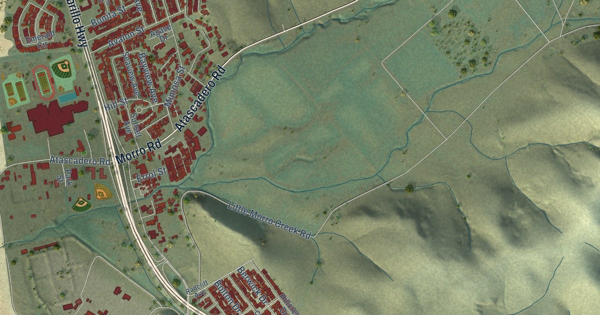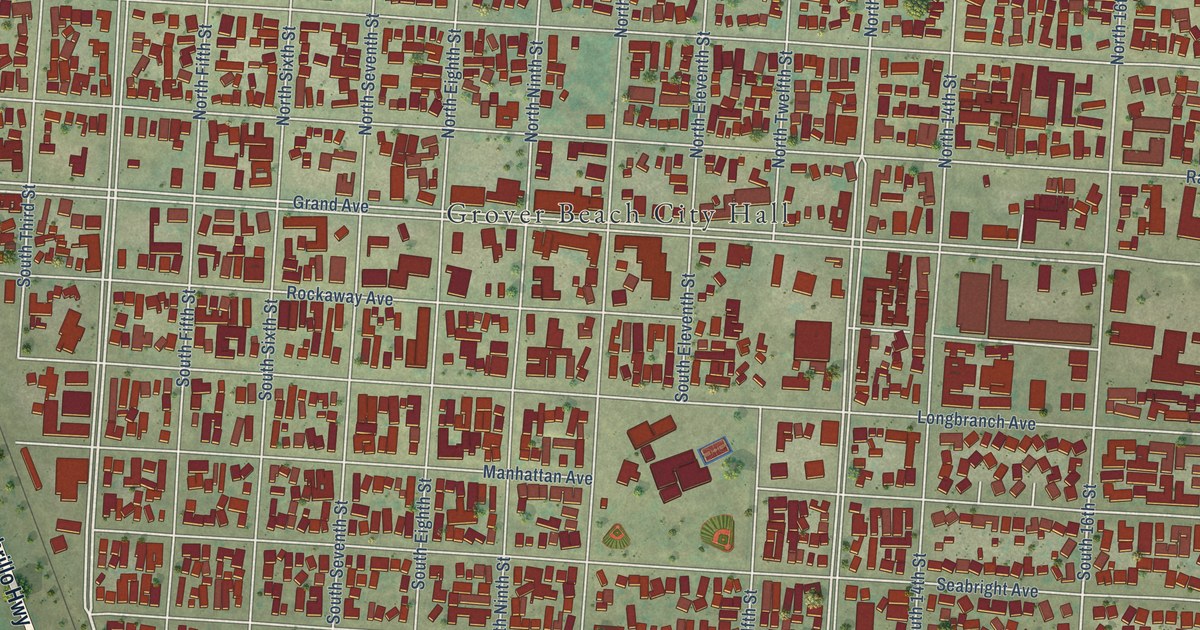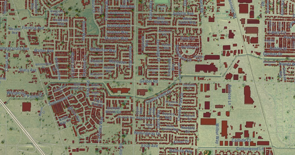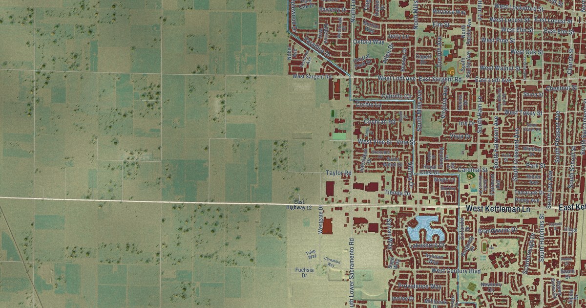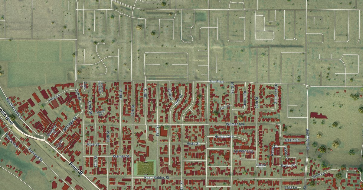
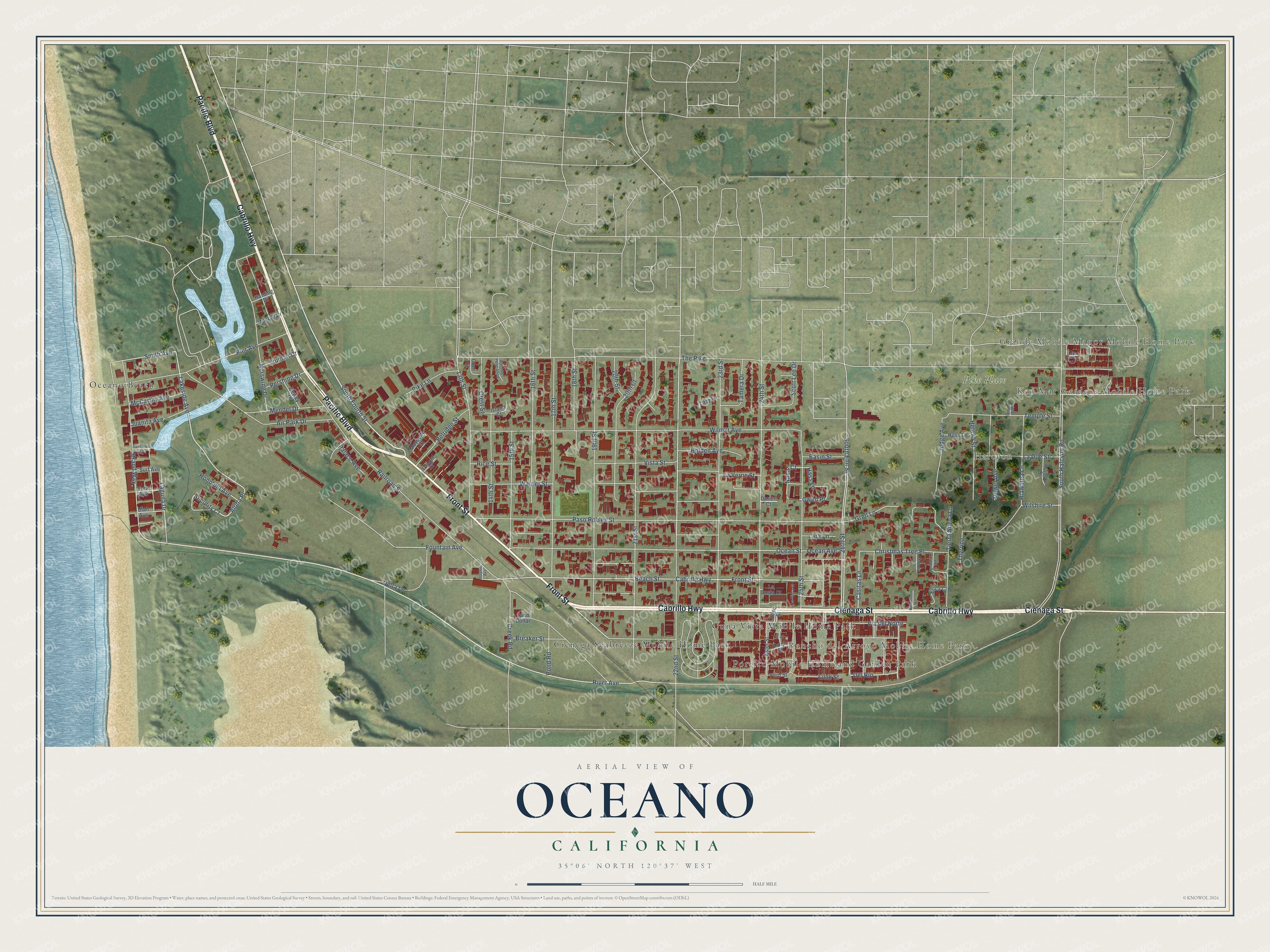
This beautifully detailed map of Oceano, California was created in 2026 using aerial imagery combined with modern topographical, census, street and landmark data. It's a modern aerial view of Oceano in San Luis Obispo County, California, that combines modern data with a vintage aesthetic. The roads feature printed names, and if you look closely you can find your exact house accurately shown in its correct location.
Explore an aerial view of Oceano, California
On this map you'll find Ken Mar Gardens Mobile Home Park, Grande Mobile Manor Mobile Home Park, Halcyon, Rancho del Arroyo Mobile Home Park, Pike Place, Cienega Seabreeze Mobile Home Park, Cuna Vista Mobile Home Park, Oceano Beach, Portico Mobile Home and Garden Park, Cabrillo Highway, Front Street, Cienaga Street, and more. Each red shape is a building, so zoom in on the preview and look for yours.
Oceano is a community in San Luis Obispo County. The Census Bureau counted 7,183 people here in 2020. The map prints the town name in its title panel, with the coordinates below it.
Take a closer look at the Oceano map
Names on this map
These names are printed on this map.
Places: Ken Mar Gardens Mobile Home Park, Grande Mobile Manor Mobile Home Park, Halcyon, Rancho del Arroyo Mobile Home Park, Pike Place, Cienega Seabreeze Mobile Home Park, Cuna Vista Mobile Home Park, Oceano Beach and Portico Mobile Home and Garden Park.
Streets and roads: Cabrillo Highway, Front Street, Cienaga Street, Pacific Boulevard, South Fourth Street, Strand Way, Lakeside Avenue, Aloha Place, River Avenue, Security Court, 22nd Street, Nabal Court.
More street names, A to Z
13th Street, 14th Street, 15th Street, 16th Street, 17th Street, 18th Street, 19th Street, 20th Court, 20th Street, 21st Street, 23rd Street, 24th Street, 25th Street, 26th Street, Air Park Drive, Aster Street, Avenue Pelicanos, Basin Street, Beach Street, Belridge Street, Breaker Street, Casitas Lane, Christmas Tree Place, Cove Court, Creek Road, Crest Street, Darien Court, Del Rio, Delta Lane, Dewey Drive, Dolphin Avenue, Dower Avenue, Erica Court, Fern Street, Fountain Avenue, Francia Street, Grell Lane, Gwen Place, Harding Drive, Hass Lane, Helena Street, Henderson Lane, Hiawatha Lane, Holden Avenue, Honolulu Avenue, Iris Street, Island Court, Juanita Avenue, Judge Avenue, La Costa Court, La Due Street, Laguna Drive, Lara Lane, Las Casitas, La Tijera Court, La Verne Street, Lazy Lane, Lilac Street, Maybelle Court, McCarthy Avenue, Melody Drive, Mendel Drive, Monroe Drive, Norswing Drive, Ocean Avenue, Ocean Street, Palace Avenue, Paso Robles Street, Pershing Drive, Pier Avenue, Pike Lane, Pond Road, Quan Avenue, Railroad Street, Rice Street, Rose Street, Ross Lane, Sand Dollar, Sandpiper Lane, Scott Lee Drive, Smith Avenue, South Elm Street, South Halcyon Road, Surf Avenue, Tamera Drive, Temple Street, The Pike, Thyrring, Tierra Nueva Lane, Tranquil Court, Truman Drive, Tulip Street, Utah Avenue, Via Arturo Street, Via del Norte, Vista Street, Warner Street, Wilmar Avenue, Wilshire Street, York Avenue.
Created by KNOWOL in 2026. The buildings are small red shapes, the roads carry their printed names, and shaded relief shows the shape of the land. The title panel reads "AERIAL VIEW OF OCEANO CALIFORNIA" with 35°06' NORTH 120°37' WEST.
It suits a den, a classroom or a front hall, and it makes a gift for anyone with Oceano roots. Open the preview and find the block you know. See sizes and frames for the Oceano map.