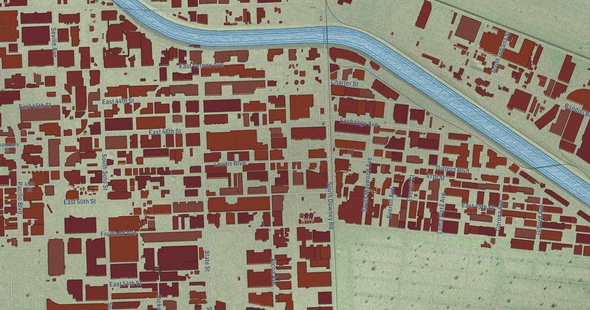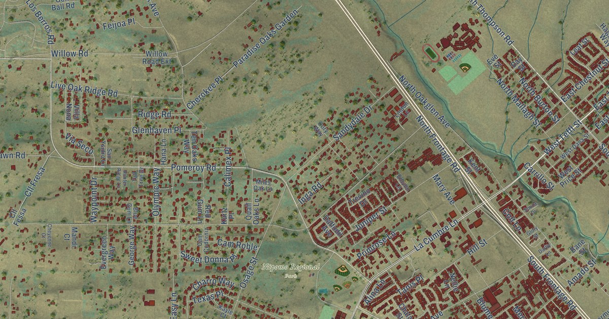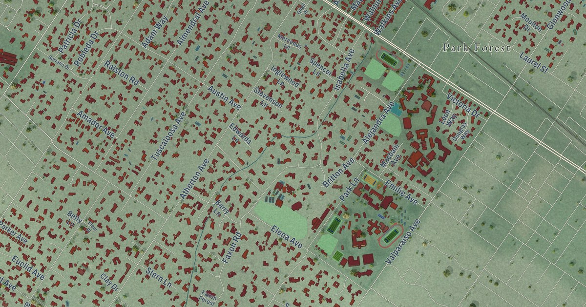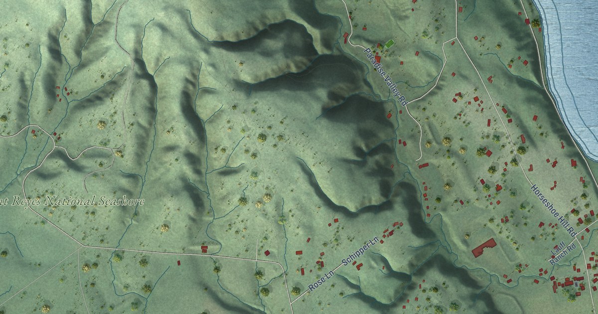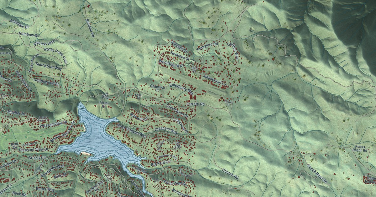
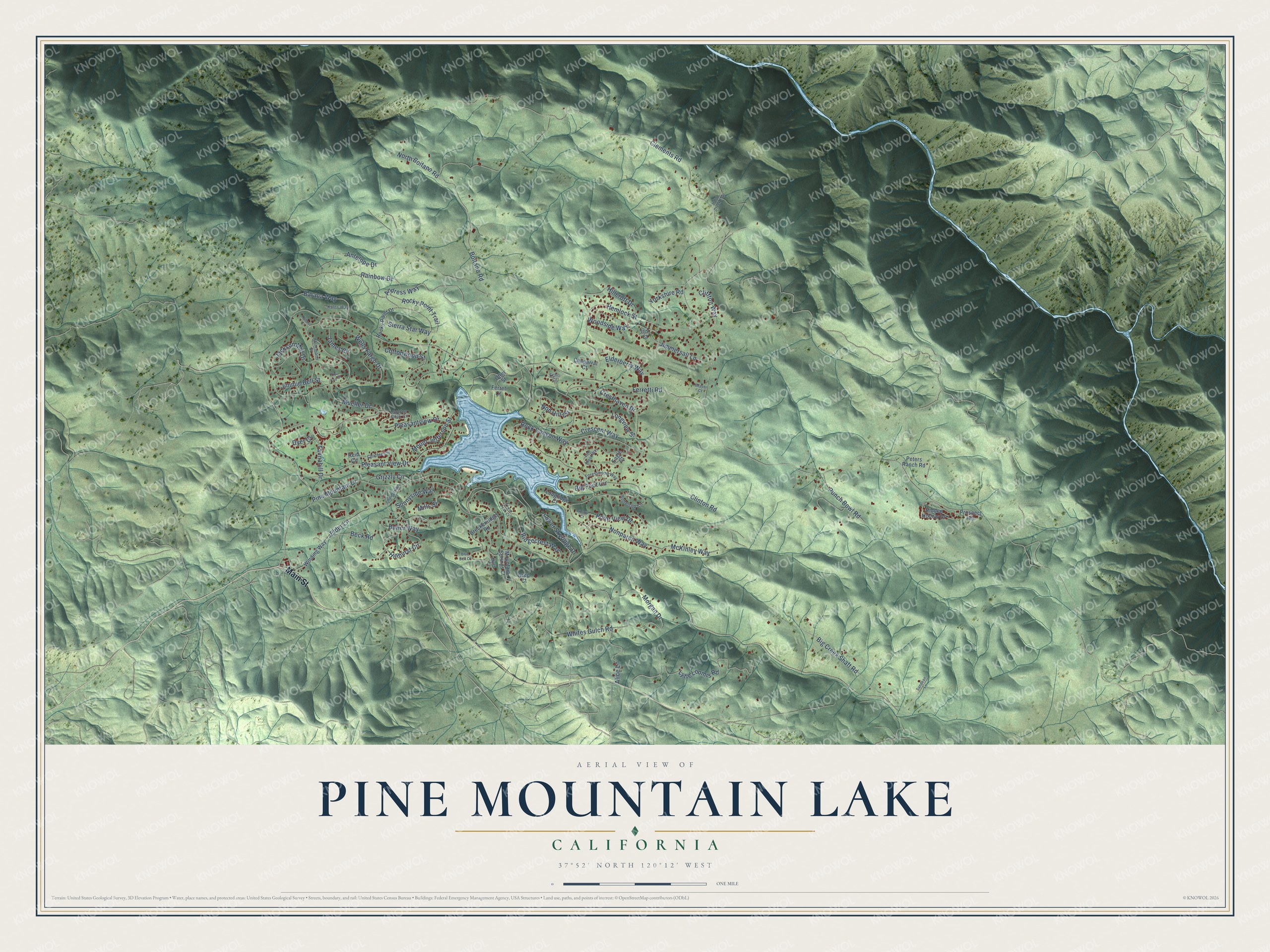
This beautifully detailed map of Pine Mountain Lake, California was created in 2026 using aerial imagery combined with modern topographical, census, street and landmark data. It's a modern aerial view of Pine Mountain Lake in Tuolumne County, California, that combines modern data with a vintage aesthetic. The roads feature printed names, and if you look closely you can find your exact house accurately shown in its correct location.
Explore an aerial view of Pine Mountain Lake, California
On this map you'll find Main Street, Antelope Drive, Mueller Drive, Longview Street, Ferretti Road, Clements Road, Pine Mountain Drive, Boitano Road, Pleasant View Drive, Pleasantview Drive, Morgan Drive, Cresthaven Drive, and more. Each red shape is a building, so zoom in on the preview and look for yours.
Pine Mountain Lake is a community in Tuolumne County. The Census Bureau counted 2,636 people here in 2020. The map prints the town name in its title panel, with the coordinates below it.
Take a closer look at the Pine Mountain Lake map
Names on this map
These names are printed on this map.
Streets and roads: Main Street, Antelope Drive, Mueller Drive, Longview Street, Ferretti Road, Clements Road, Pine Mountain Drive, Boitano Road, Pleasant View Drive, Pleasantview Drive, Morgan Drive, Cresthaven Drive.
More street names, A to Z
Alice Lane, Andress Way, Baraca Way, Beaver Court, Beck Road, Big Creek Shaft Road, Big Foot Circle, Blue Bell Court, Breckenridge Road, Butler Way, Buttercup Circle, Chaffee Circle, Chamberlain Court, Chaparral Court, Cliffton Way, Clinton Road, Cottonwood Street, Crescent Way, Dyer Court, Eagle Court, Echo Court, Elderberry Way, Elder Lane, Ferret Court, Forestwood Way, Golden Rock Circle, Greg Court, Grizzly Circle, Hemlock Street, Hidden Hollow Drive, Hillcroft Drive, Hillhurst Circle, Indian Creek Trail, Iris Court, Jackson Mill Drive, James Circle, Jimmersall Lane, Jimmie Bell Street, Kalns Way, Longridge Court, Lower Skyridge Drive, Lytle Loomis Road, McKinley Way, Mills Street, Mohrmann Street, Mountain Springs Court, Mount Jefferson Street, Myer Court, Nob Hill Circle, Nonpareil Way, North Boitano Road, Otter Street, Peters Ranch Road, Pine Brook Way, Point View Drive, Prospect Heights, Punch Bowl Road, Raboul Court, Rainbow Drive, Reid Circle, Ridgecrest Way, Rock Canyon Way, Rock Court, Rocky Point Drive, Rocky Point Trail, Sandean Lane, Sierra Star Way, Sunnyside Way, Tannahill Drive, Tip Top Court, Tower Peak Court, Wells Fargo Drive, Whites Gulch Road, Winding Way, Woodside Way, Yorkshire Road.
Created by KNOWOL in 2026. The buildings are small red shapes, the roads carry their printed names, and shaded relief shows the shape of the land. The title panel reads "AERIAL VIEW OF PINE MOUNTAIN LAKE CALIFORNIA" with 37°52' NORTH 120°12' WEST.
Hang it in the hallway, the office or the cabin, or give it to someone who left Pine Mountain Lake and still calls it home. Open the preview and look for a street you know. See sizes and frames for the Pine Mountain Lake map.