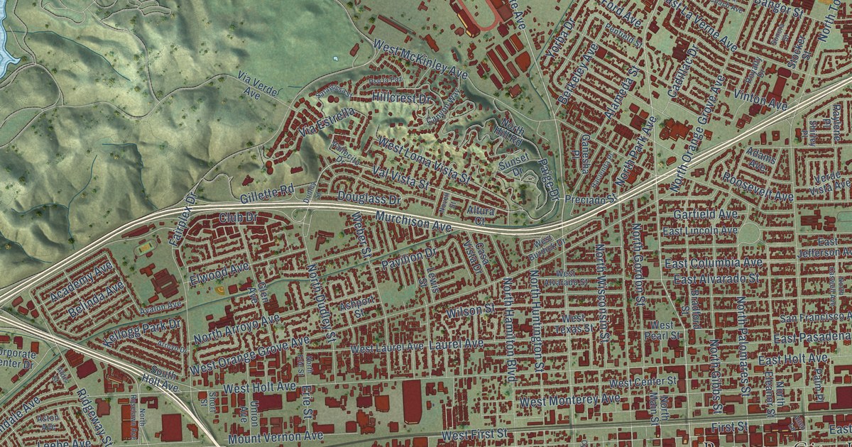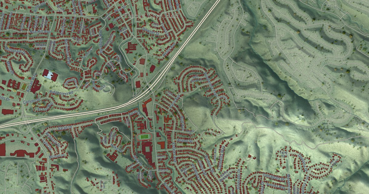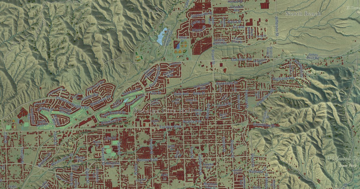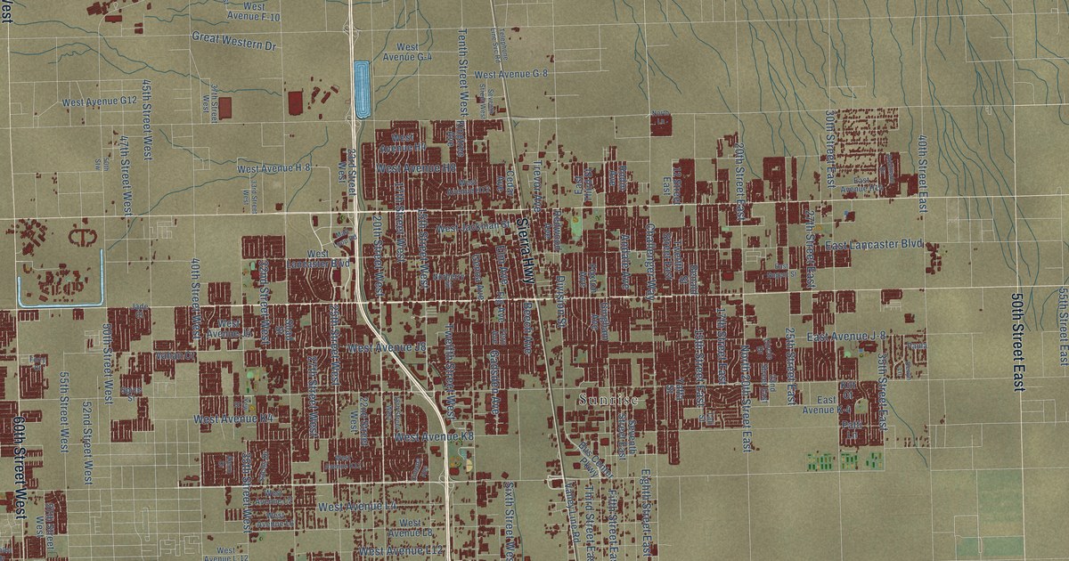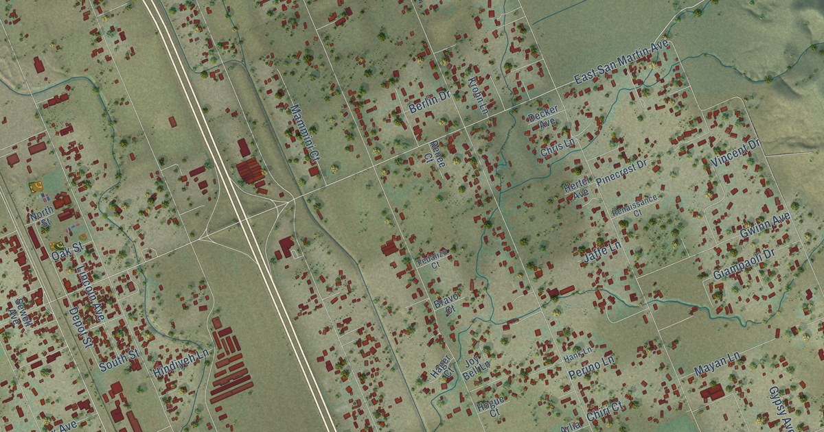
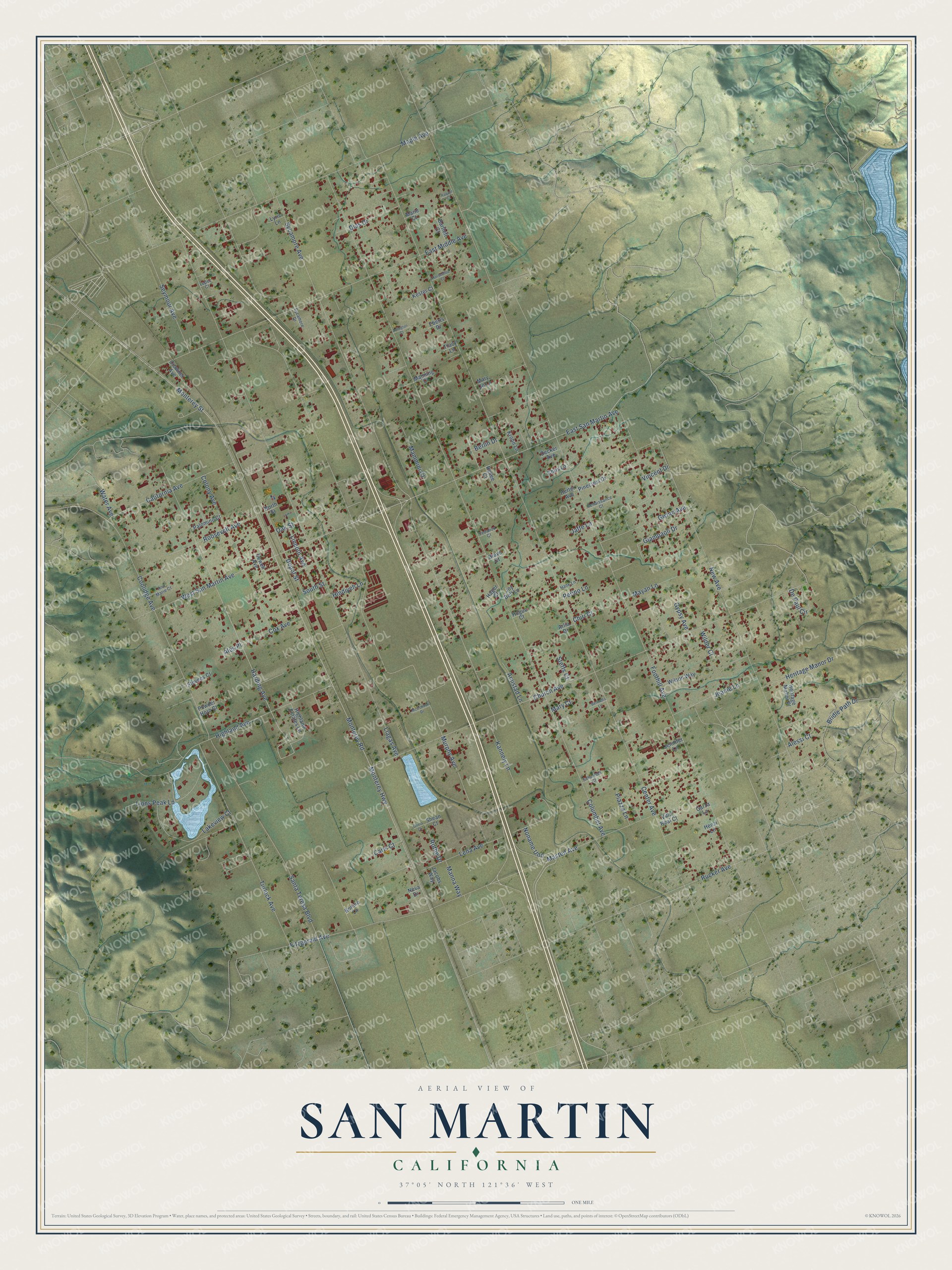
This beautifully detailed map of San Martin, California was created in 2026 using aerial imagery combined with modern topographical, census, street and landmark data. It's a modern aerial view of San Martin in Santa Clara County, California, that combines modern data with a vintage aesthetic. The roads feature printed names, and if you look closely you can find your exact house accurately shown in its correct location.
Explore an aerial view of San Martin, California
On this map you'll find Harding Avenue, Monterey Street, East San Martin Avenue, Monterey Road, Center Avenue, Columbet Avenue, Murphy Avenue, Foothill Avenue, Monterey Highway, Llagas Avenue, Sycamore Avenue, Church Avenue, and more. Each red shape is a building, so zoom in on the preview and look for yours.
San Martin has a story worth telling. The Santa Clara County History puts it this way: "The San Martin district was surveyed and sold off in small tracts, beginning in 1892, so that the Curtis family are among the earliest settlers there."
San Martin is a community in Santa Clara County. The Census Bureau counted 7,008 people here in 2020.
Take a closer look at the San Martin map
Names on this map
These names are printed on this map.
Streets and roads: Harding Avenue, Monterey Street, East San Martin Avenue, Monterey Road, Center Avenue, Columbet Avenue, Murphy Avenue, Foothill Avenue, Monterey Highway, Llagas Avenue, Sycamore Avenue, Church Avenue.
More street names, A to Z
Ales Place, Alessi Court, Amistad Lane, Ann Marie Court, Arlia Drive, Arlington Court, Bartlett Court, Bennetta Lane, Berlin Drive, Bonino Lane, Bravo Court, Bridle Path Drive, California Avenue, Carls Court, Chiri Court, Chris Lane, Colony Avenue, Coolidge Avenue, Cox Avenue, Crowner Avenue, Decker Avenue, De Paul Circle, Depot Street, Dias Drive, East Middle Avenue, Eberts Drive, Fedalizo Court, Fitzgerald Avenue, Garza Lane, Giampaoli Drive, Gwinn Avenue, Gypsy Avenue, Hager Court, Hank Lane, Henzi Lane, Heritage Manor Drive, Heritage Manor Place, Hertel Avenue, Highland Avenue, Highland Estates Lane, Hindiyeh Lane, Hogue Court, Horseshoe Court, Jacobs Way, Jaffe Lane, Jeanie Lane, Jennifer Lane, Joy Bell Lane, Kannely Lane, Kester Court, Krohn Lane, Lakeview Court, Lena Avenue, Lincoln Avenue, Lions Peak Lane, Lopez Court, Lyric Lane, Mammini Court, Manna Way, Manning Court, Maple Avenue, Marie Court, Mary Court, Mary Jo Lane, Masten Avenue, Mayan Lane, McConnell Drive, Neva Drive, New Avenue, Noname Uno, North Street, Oak Street, Olivia Court, Palomino Court, Perino Lane, Piazza Lane, Pinecrest Drive, Powder Horn Court, Raquel Court, Renaissance Court, Renee Court, Roosevelt Avenue, Rothe Drive, Rucker Avenue, Santa Teresa Boulevard, Schofield Court, Sewell Avenue, Seymour Avenue, Shean Court, South Street, Steffs Court, Stevens Court, Sycamore Drive, Tracy Lane, Turlock Avenue, Villa Real Court, Vincent Drive, Water Avenue, West San Martin Avenue, Wilder Court, Wilson Way.
Created by KNOWOL in 2026. The buildings are small red shapes, the roads carry their printed names, and shaded relief shows the shape of the land. The title panel reads "AERIAL VIEW OF SAN MARTIN CALIFORNIA" with 37°05' NORTH 121°36' WEST.
It looks right in a kitchen, an office or a den, and it's a gift for anyone who grew up in San Martin or moved away. Open the preview and find your street. See sizes and frames for the San Martin map.