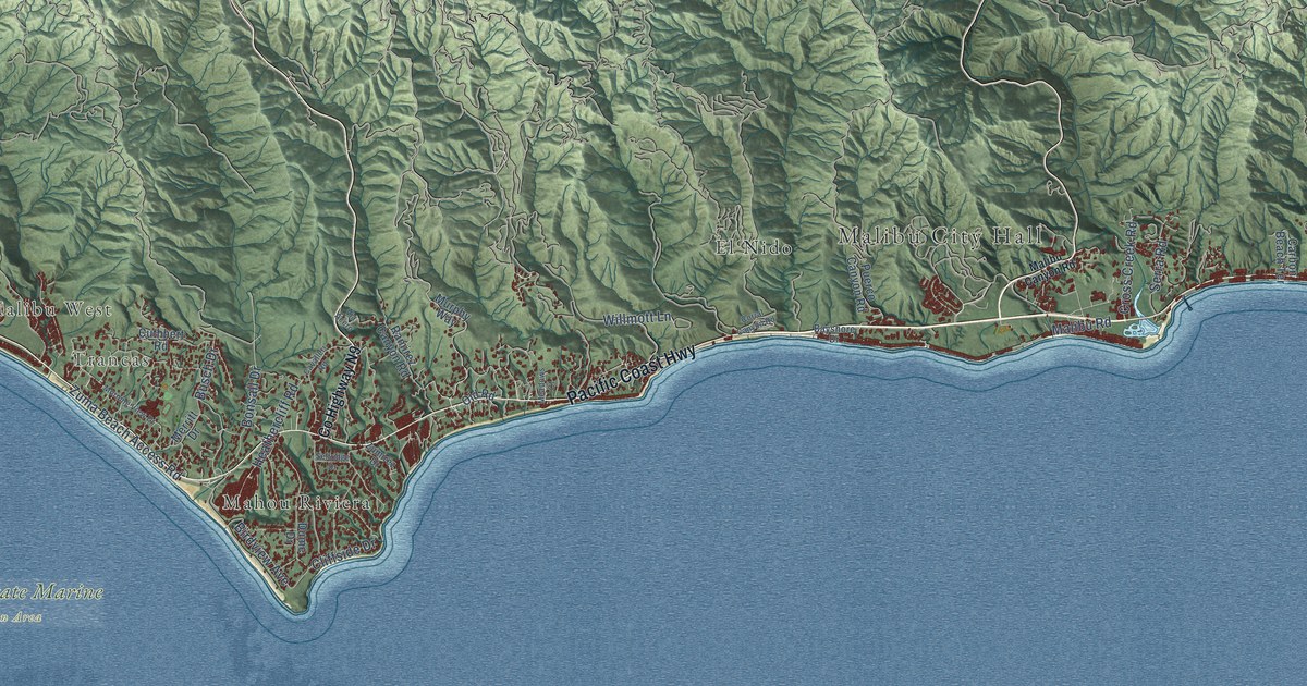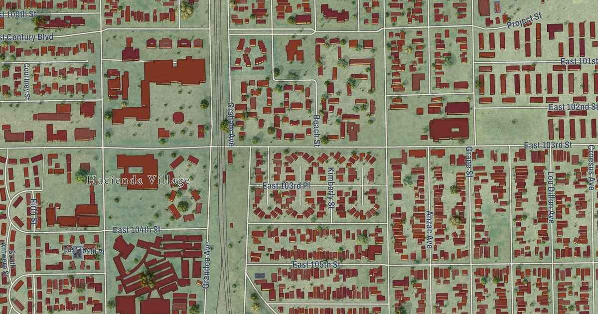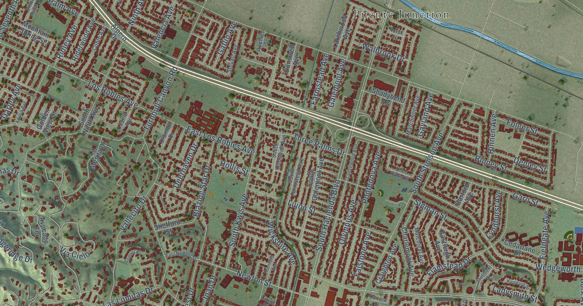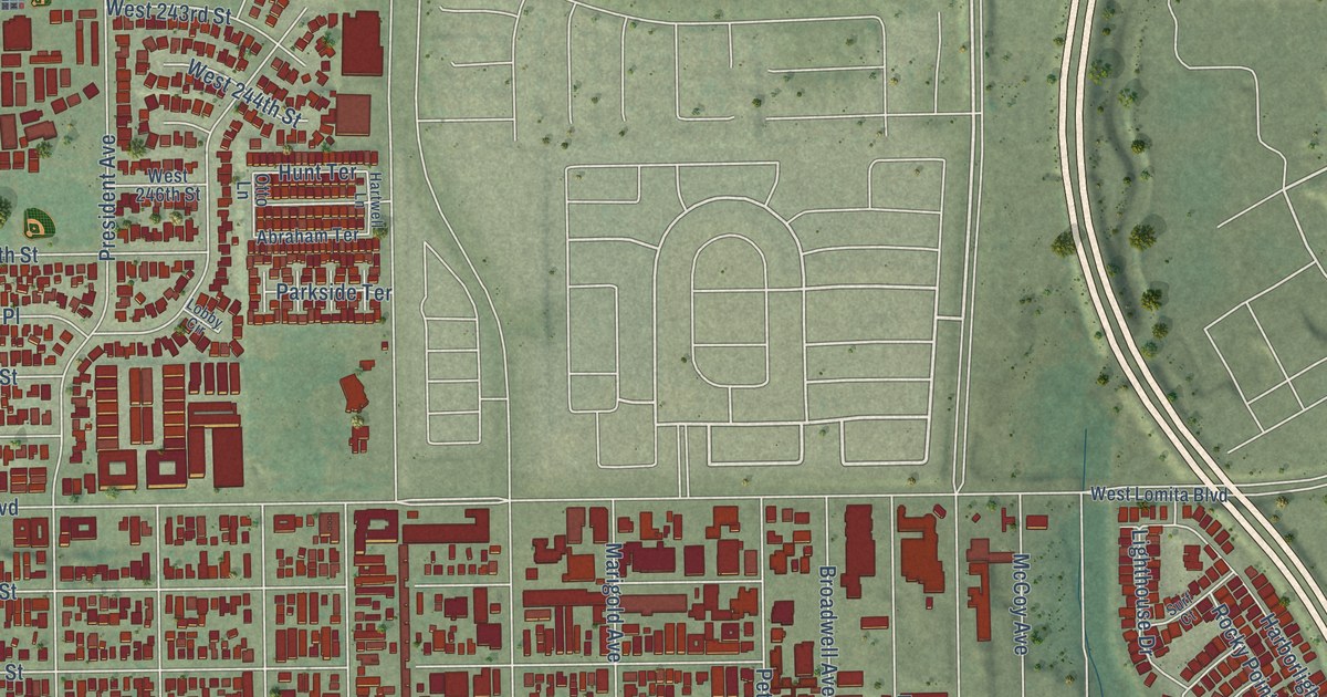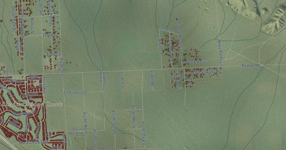
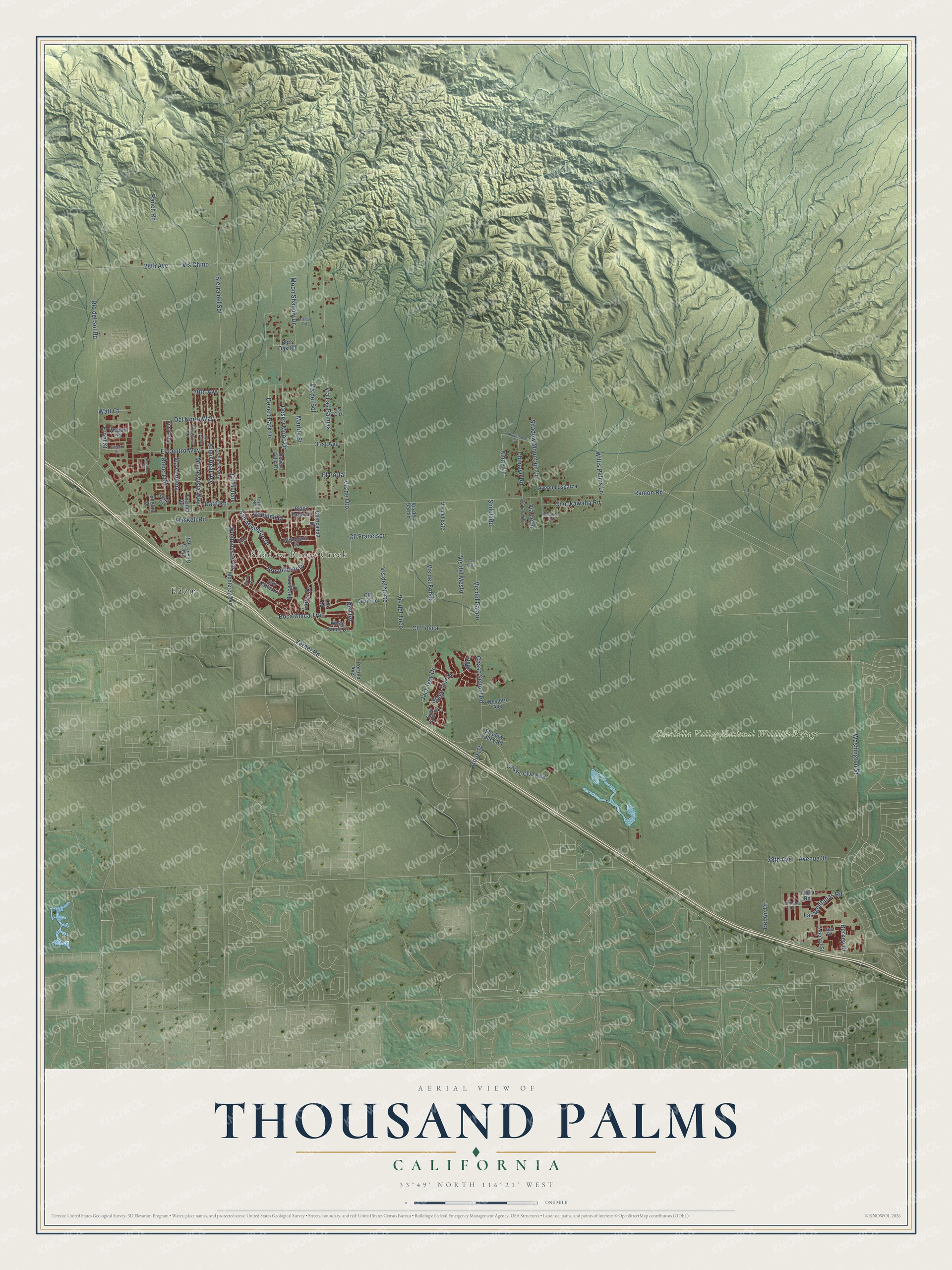
This beautifully detailed map of Thousand Palms, California was created in 2026 using aerial imagery combined with modern topographical, census, street and landmark data. It's a modern aerial view of Thousand Palms in Riverside County, California, that combines modern data with a vintage aesthetic. The roads feature printed names, and if you look closely you can find your exact house accurately shown in its correct location.
Explore an aerial view of Thousand Palms, California
On this map you'll find Shadow Ridge Creek, Coachella Valley National Wildlife Refuge, Edom, Desert Park Drive, El Centro Way, Varner Road, Ramon Road, Washington Street, Sierra del Sol, Vis de Oro, Desert Moon Drive, Via Las Palmas, and more. Each red shape is a building, so zoom in on the preview and look for yours.
Thousand Palms is a community in Riverside County. The Census Bureau counted 7,967 people here in 2020. The map prints the town name in its title panel, with the coordinates below it.
Take a closer look at the Thousand Palms map
Names on this map
These names are printed on this map.
Places: Shadow Ridge Creek, Coachella Valley National Wildlife Refuge and Edom.
Streets and roads: Desert Park Drive, El Centro Way, Varner Road, Ramon Road, Washington Street, Sierra del Sol, Vis de Oro, Desert Moon Drive, Via Las Palmas, Vis Chino, 38th Avenue, Avenue 38.
More street names, A to Z
28th Avenue, 30th Avenue, 31st Avenue, Adelaid Street, Algonquin Place, Amite Lane, Arbol Real Avenue, Arriba Road, Avenue Esparza, Banff Street, Barcelona Drive, Bel Air Drive, Bell Road, Berkey Drive, Black Eagle Drive, Boca Chica Trail, Broadmoor Drive, Burr Oak Road, Chase School Road, Chimayo Road, Chiricahua Drive, Chuckawalla Road, Classic Club Boulevard, Cll Desierto, Cll Francisco, Cll Helene, Cll Jessica, Cll Serra, Cll Tosca, Colonial Drive, Conchita Road, Cook Street, Datil Road, Del Norte Way, Desert Palm Drive, El Duna Court, El Portal, Flora Road, Front Street, Harry Oliver Trail, Haskell Road, Jack Ivey Drive, La Cita, Las Flores Way, Las Montanas Road, Laura Drive, Leopard Street, Les Road, Loredo Circle, Marlita Street, Monterey Avenue, Monte Vista Way, Moon Shadow Drive, Portola Avenue, Ranch Road, Reserve Drive, Rio del Sol Road, Robert Road, Roseview Lane, San Carlos Drive, Sand Rock Road, San Miguelito Drive, Sena Court, Shadow Mountain Lane, Shadow Valley Road, Shelter Drive, Slidell Road, Stage Drive, Stage Line Drive, Taylor Road, Tchoupitoulas Lane, Thelma Avenue, Via Eduardo, Via Leon, Via Pared, Via Ventana, Vis del Este, Vis del Fonda, Vis del Jardin, Vis del Mesto, Vis del Norte, Vis del Pajaro, Vis del Sol, Vis del Toco, Watt Court, Westchester Drive, Western Avenue, White Sands Drive, Willis Palms Lane, Woburn Court, Wolf Road.
Created by KNOWOL in 2026. The buildings are small red shapes, the roads carry their printed names, and shaded relief shows the shape of the land. The title panel reads "AERIAL VIEW OF THOUSAND PALMS CALIFORNIA" with 33°49' NORTH 116°21' WEST.
It suits a den, a classroom or a front hall, and it makes a gift for anyone with Thousand Palms roots. Open the preview and find the block you know. See sizes and frames for the Thousand Palms map.