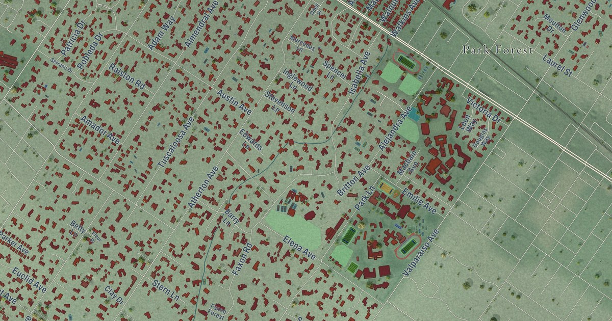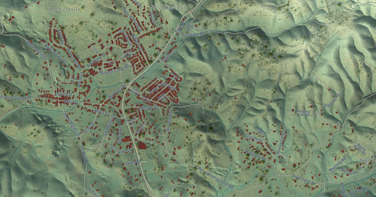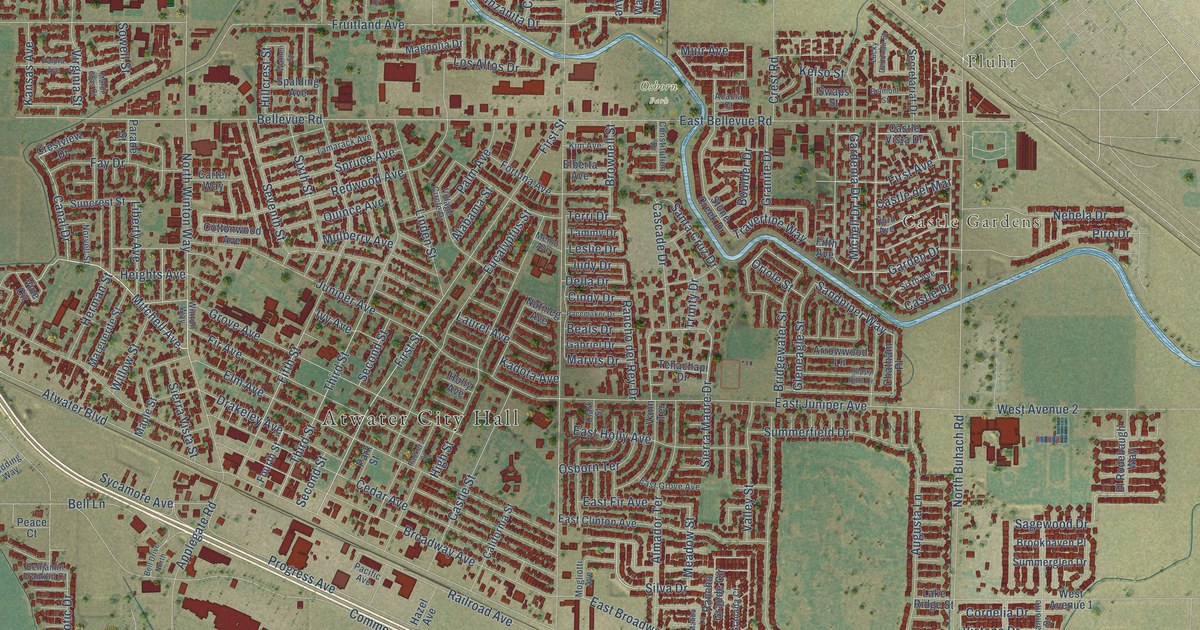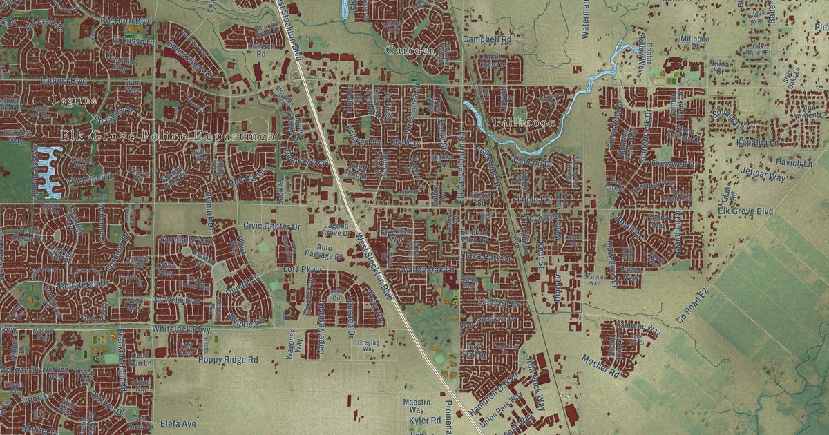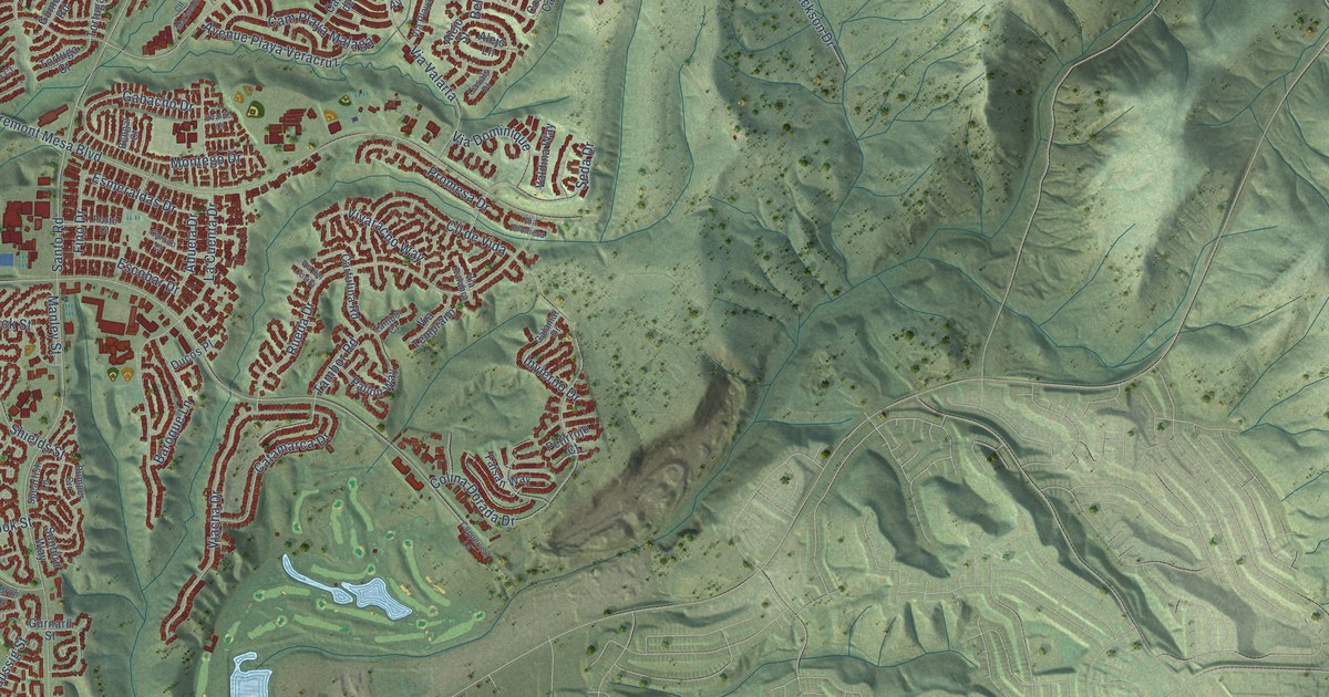
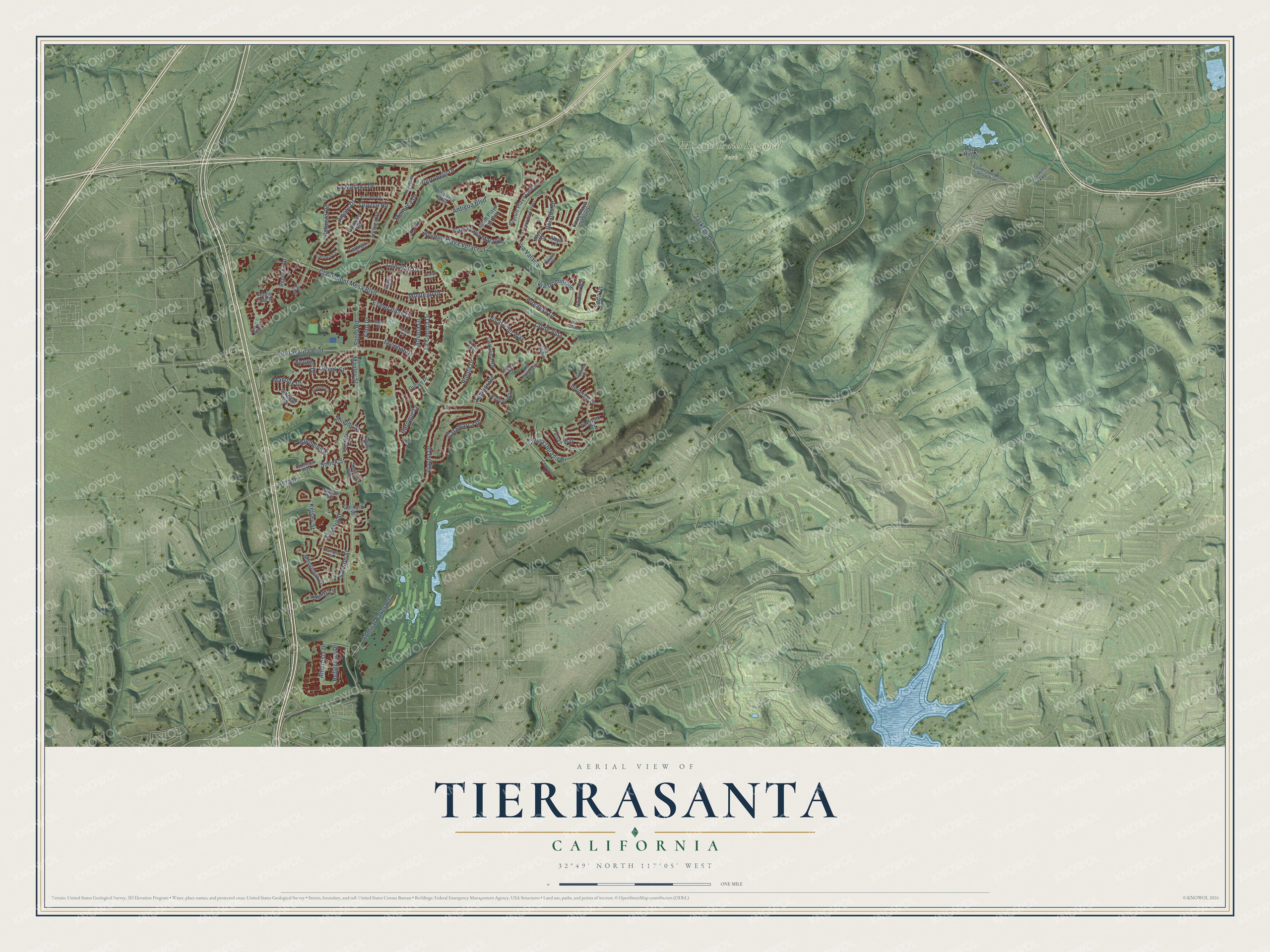
This beautifully detailed map of Tierrasanta, California was created in 2026 using aerial imagery combined with modern topographical, census, street and landmark data. It's a modern aerial view of Tierrasanta in San Diego County, California, that combines modern data with a vintage aesthetic. The roads feature printed names, and if you look closely you can find your exact house accurately shown in its correct location.
Explore an aerial view of Tierrasanta, California
On this map you'll find Mission Trails Regional Park, Orozco Road, Ambrosia Drive, Belardo Drive, Santo Road, Clairemont Mesa Boulevard, Tierrasanta Boulevard, Antigua Boulevard, La Cuenta Drive, Rueda Drive, Jackson Drive, Colina Dorada Drive, and more. Each red shape is a building, so zoom in on the preview and look for yours.
Here is a piece of Tierrasanta history, in the words of the record. The City of San Diego puts it this way: "The residential development of Tierrasanta began in 1960 when the federal government declared a portion of Camp Elliott, a Marine Corps training camp, as surplus."
Tierrasanta is a place in San Diego County.
Take a closer look at the Tierrasanta map
Names on this map
These names are printed on this map.
Places: Mission Trails Regional Park.
Streets and roads: Orozco Road, Ambrosia Drive, Belardo Drive, Santo Road, Clairemont Mesa Boulevard, Tierrasanta Boulevard, Antigua Boulevard, La Cuenta Drive, Rueda Drive, Jackson Drive, Colina Dorada Drive, Shields Street.
More street names, A to Z
Abuela Drive, Admiral Baker Road, Aero Drive, Alejo Lane, Alejo Street, Amaro Drive, Apple Tree Drive, Avenue Playa Cancun, Avenue Playa Veracruz, Baroque Lane, Bengal Court, Bordelon Street, Bumper Circle, Bushy Hill Drive, Calamar Drive, Cam Playa de Oro, Cam Playa Malaga, Carioca Court, Cariuto Court, Cartulina Road, Casals Place, Catamarca Drive, Cll de Vida, Cll Mariselda, Cmt del Marfil, Copperleaf Lane, Corte Playa Catalina, Ducos Place, El Comal Drive, Epperson Way, Equestrian Circle, Escobar Drive, Esmeraldas Drive, Faisan Way, Father Junipero Serra Trail, Fino Drive, Gabacho Drive, Gainard Way, Guincho Road, Gurnard Street, Invierno Drive, Kelsey Street, Keppler Drive, La Morada Drive, Maddox Drive, Manley Street, Menorca Drive, Minuteman Street, Montego Drive, Oakleaf Point, Orleck Street, Pallon Way, Petirrojo Court, Portobelo Court, Portobelo Drive, Porto Court, Promesa Drive, Reflection Drive, Repecho Drive, Robusto Road, Salmon Street, Sample Street, Seda Drive, Snook Street, Spearfish Lane, Sunbird Way, Tambor Court, Tambor Road, Taussig Street, Tortuga Court, Tortuga Road, Truett Lane, Uvalde Court, Valdina Way, Viacha Drive, Via del Cosira, Via Dominique, Via Palabra, Via Playa de Cortes, Via Promesa, Via Temprano, Via Valarta, Villarrica Way, Vivaracho Way, Waddell Circle, Waldron Way, West Hills Parkway.
Created by KNOWOL in 2026. The buildings are small red shapes, the roads carry their printed names, and shaded relief shows the shape of the land. The title panel reads "AERIAL VIEW OF TIERRASANTA CALIFORNIA" with 32°49' NORTH 117°05' WEST.
It suits a den, a classroom or a front hall, and it makes a gift for anyone with Tierrasanta roots. Open the preview and find the block you know. See sizes and frames for the Tierrasanta map.