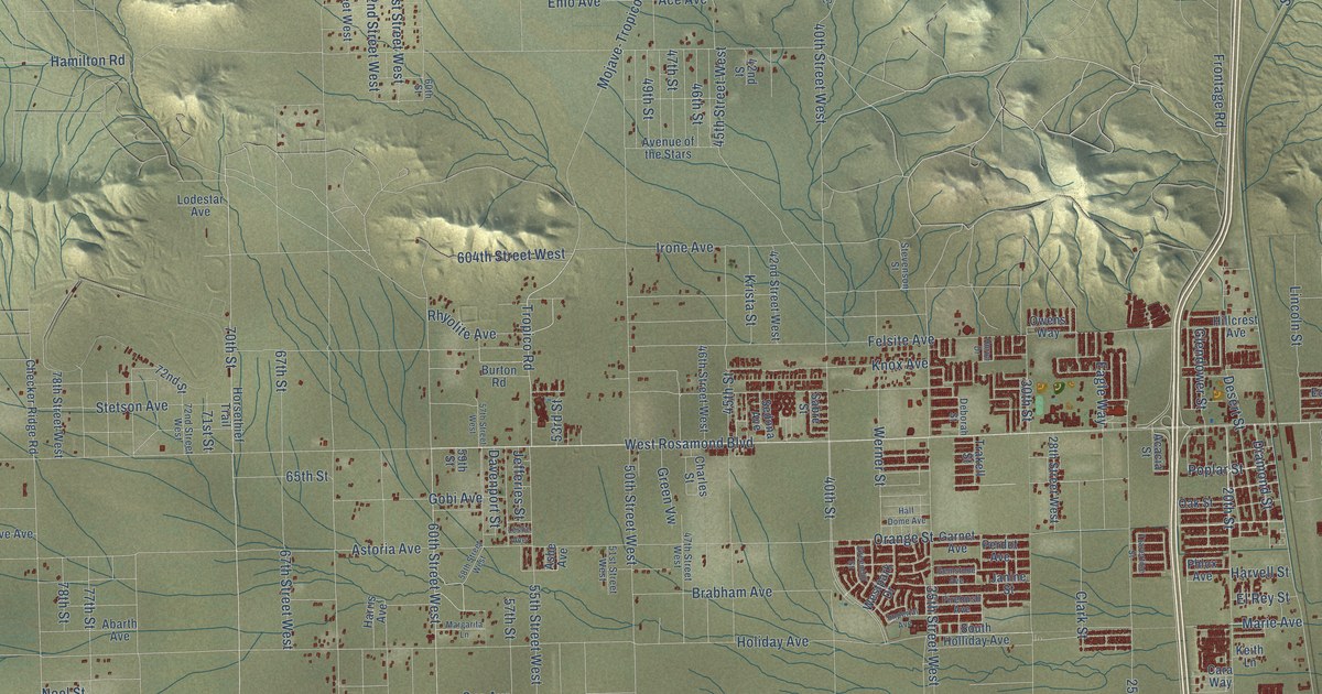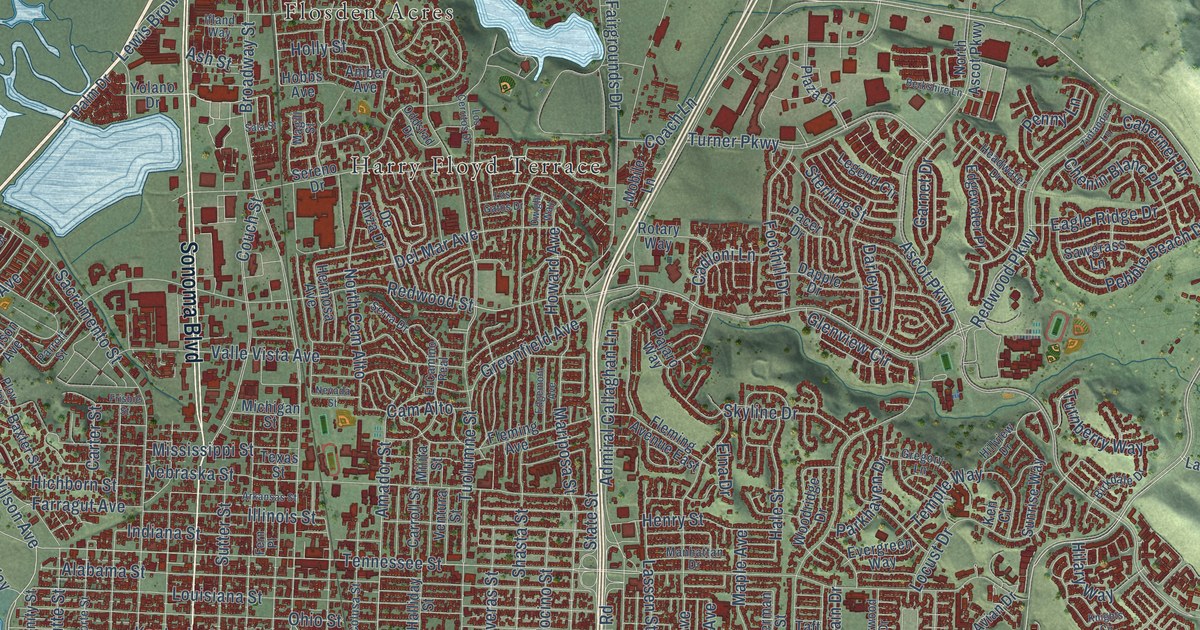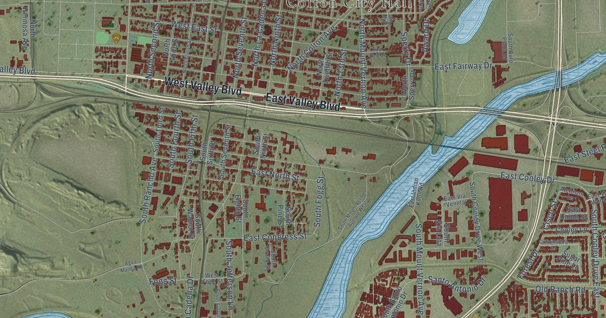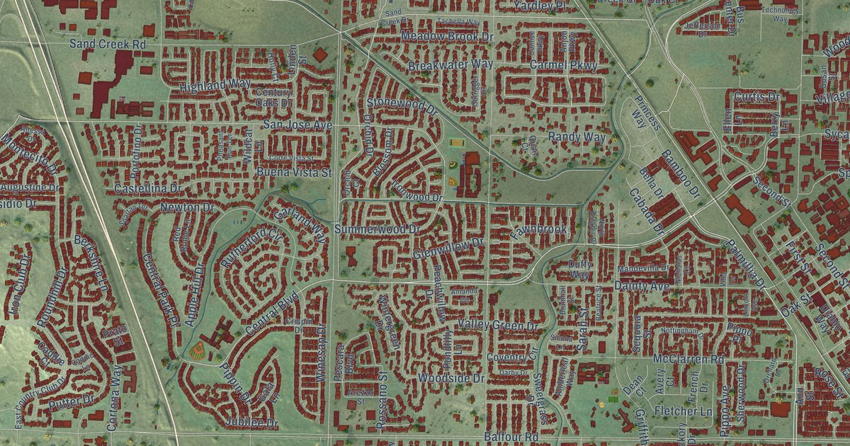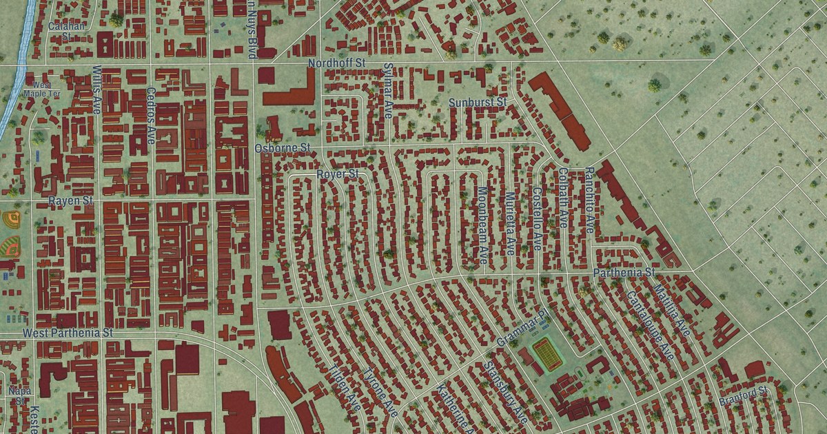
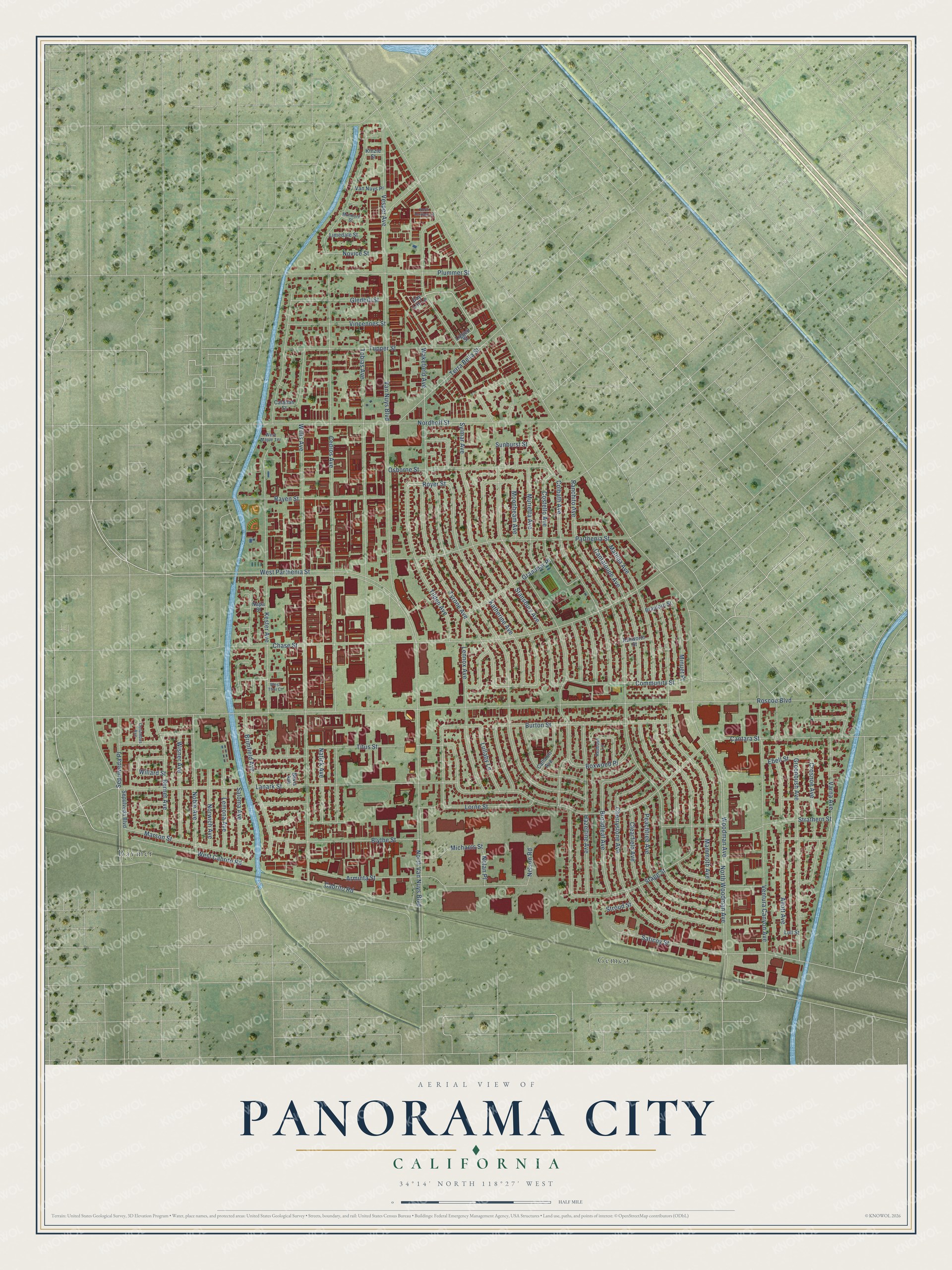
This beautifully detailed map of Panorama City, California was created in 2026 using aerial imagery combined with modern topographical, census, street and landmark data. It's a modern aerial view of Panorama City in Los Angeles County, California, that combines modern data with a vintage aesthetic. The roads feature printed names, and if you look closely you can find your exact house accurately shown in its correct location.
Explore an aerial view of Panorama City, California
On this map you'll find Gemco, Raymer, Gledhill Street, Community Street, Rayen Street, Moonbeam Avenue, Royer Street, Roscoe Boulevard, Van Nuys Boulevard, Cedros Avenue, Woodman Avenue, Lanark Street, and more. Each red shape is a building, so zoom in on the preview and look for yours.
Panorama City is a place in Los Angeles County. The map prints the town name in its title panel, with the coordinates below it.
Take a closer look at the Panorama City map
Names on this map
These names are printed on this map.
Places: Gemco and Raymer.
Streets and roads: Gledhill Street, Community Street, Rayen Street, Moonbeam Avenue, Royer Street, Roscoe Boulevard, Van Nuys Boulevard, Cedros Avenue, Woodman Avenue, Lanark Street, Wakefield Avenue, Hazeltine Avenue.
More street names, A to Z
Allott Avenue, Arminta Street, Ashworth Street, Bevis Avenue, Blythe Street, Boxwood Place, Branford Street, Brimfield Avenue, Broadleaf Avenue, Burnet Avenue, Burton Street, Cabrito Road, Calahan Street, Calhoun Avenue, Cantaloupe Avenue, Cantara Street, Chase Street, Cherrystone Avenue, Clearfield Avenue, Colbath Avenue, Columbus Avenue, Costello Avenue, Crosnoe Avenue, Day Lily Lane, Ebell Street, Grammar Place, Greenbush Avenue, Katherine Avenue, Kester Avenue, Kinzie Street, Lemona Avenue, Lennox Avenue, Liggett Street, Limedale Street, Lorne Street, Lullaby Lane, Lull Street, Mammoth Avenue, Marson Street, Matilija Avenue, Michaels Street, Minuet Place, Mumford Street, Murietta Avenue, Napa Street, Natick Avenue, Nelson Road, Noble Avenue, Nolan Place, Nordhoff Street, North Heritage Lane, North Van Nuys Boulevard, North Woodman Avenue, Norwich Avenue, Novice Street, Osborne Street, Parthenia Street, Peachtree Avenue, Plummer Street, Ranchito Avenue, Redbush Lane, Saloma Avenue, Saticoy Street, Sepulveda Boulevard, Sepulveda Place, Stagg Street, Stansbury Avenue, Strathern Street, Stroud Street, Sunburst Street, Sylmar Avenue, Terra Bella Street, Tilden Avenue, Titus Street, Tobias Avenue, Tupper Street, Tyrone Avenue, Van Nuys Place, Varna Avenue, Ventura Canyon Avenue, Vesper Avenue, Vincennes Street, West Cabrito Road, West Maple Terrace, West Parthenia Street, West Thai Court, Willard Street, Willis Avenue, Wisner Avenue.
Created by KNOWOL in 2026. The buildings are small red shapes, the roads carry their printed names, and shaded relief shows the shape of the land. The title panel reads "AERIAL VIEW OF PANORAMA CITY CALIFORNIA" with 34°14' NORTH 118°27' WEST.
Hang it in the hallway, the office or the cabin, or give it to someone who left Panorama City and still calls it home. Open the preview and look for a street you know. See sizes and frames for the Panorama City map.