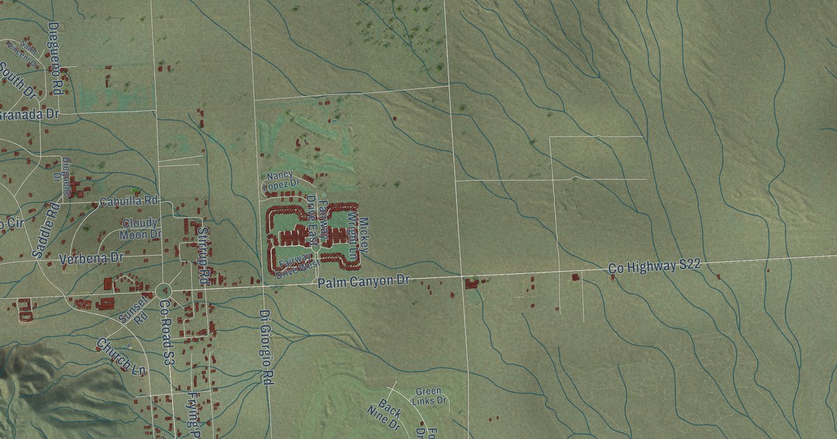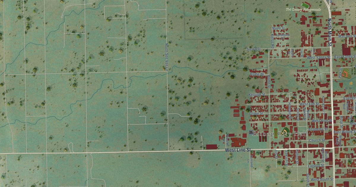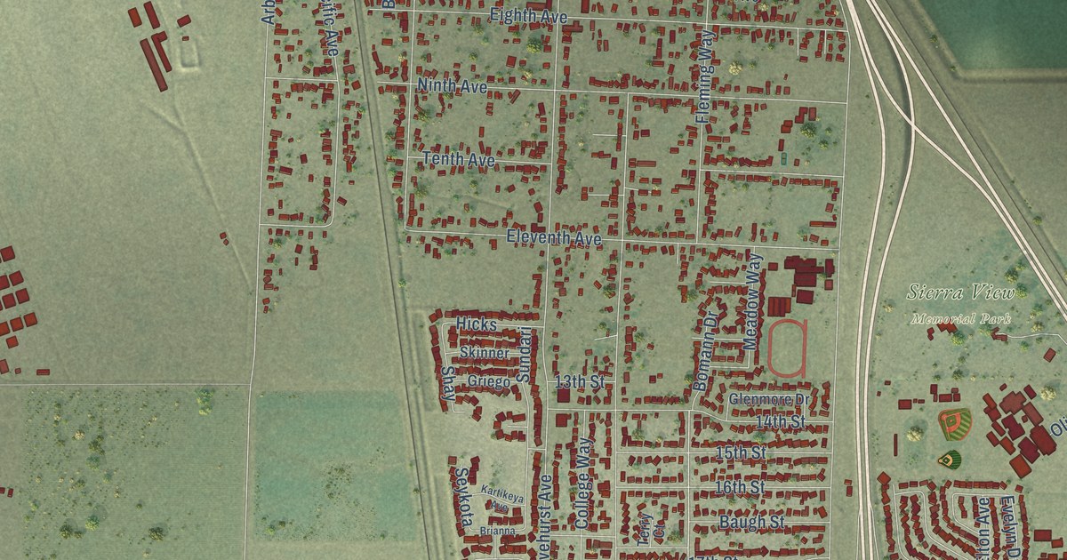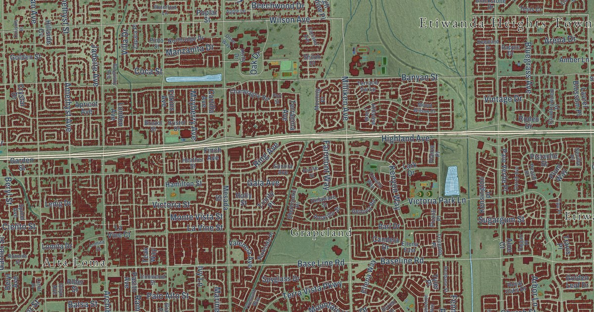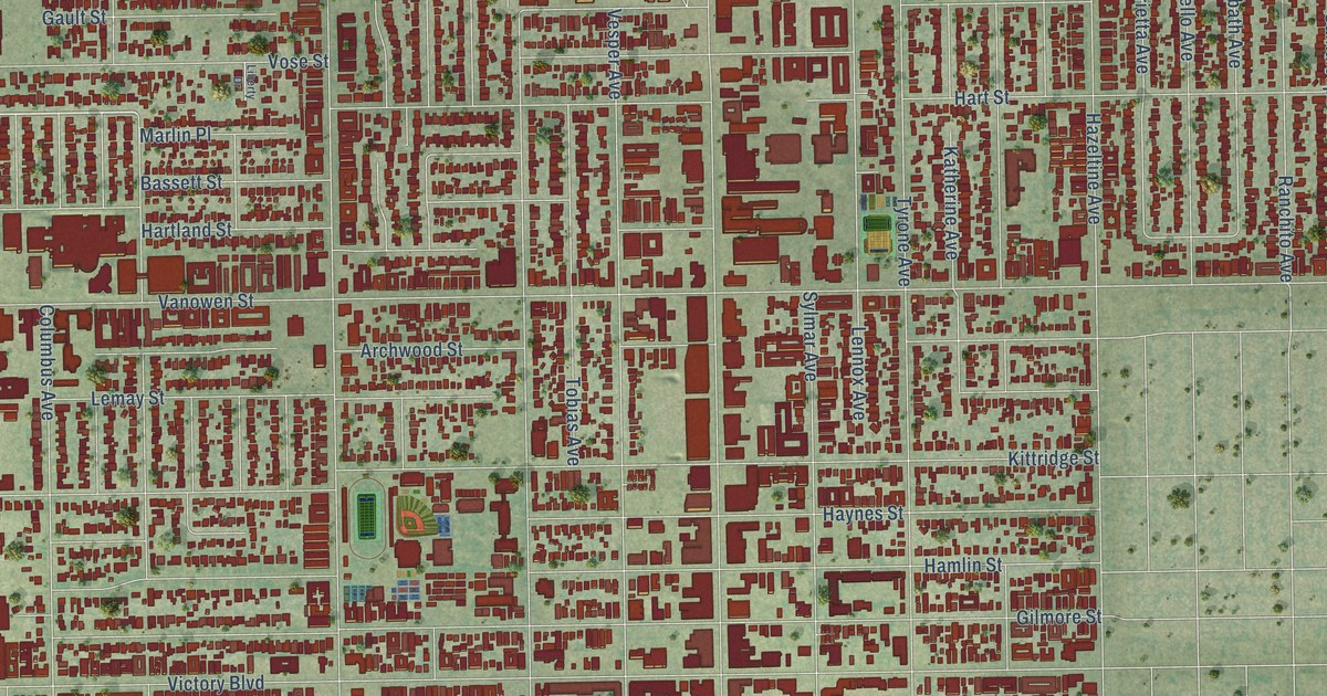
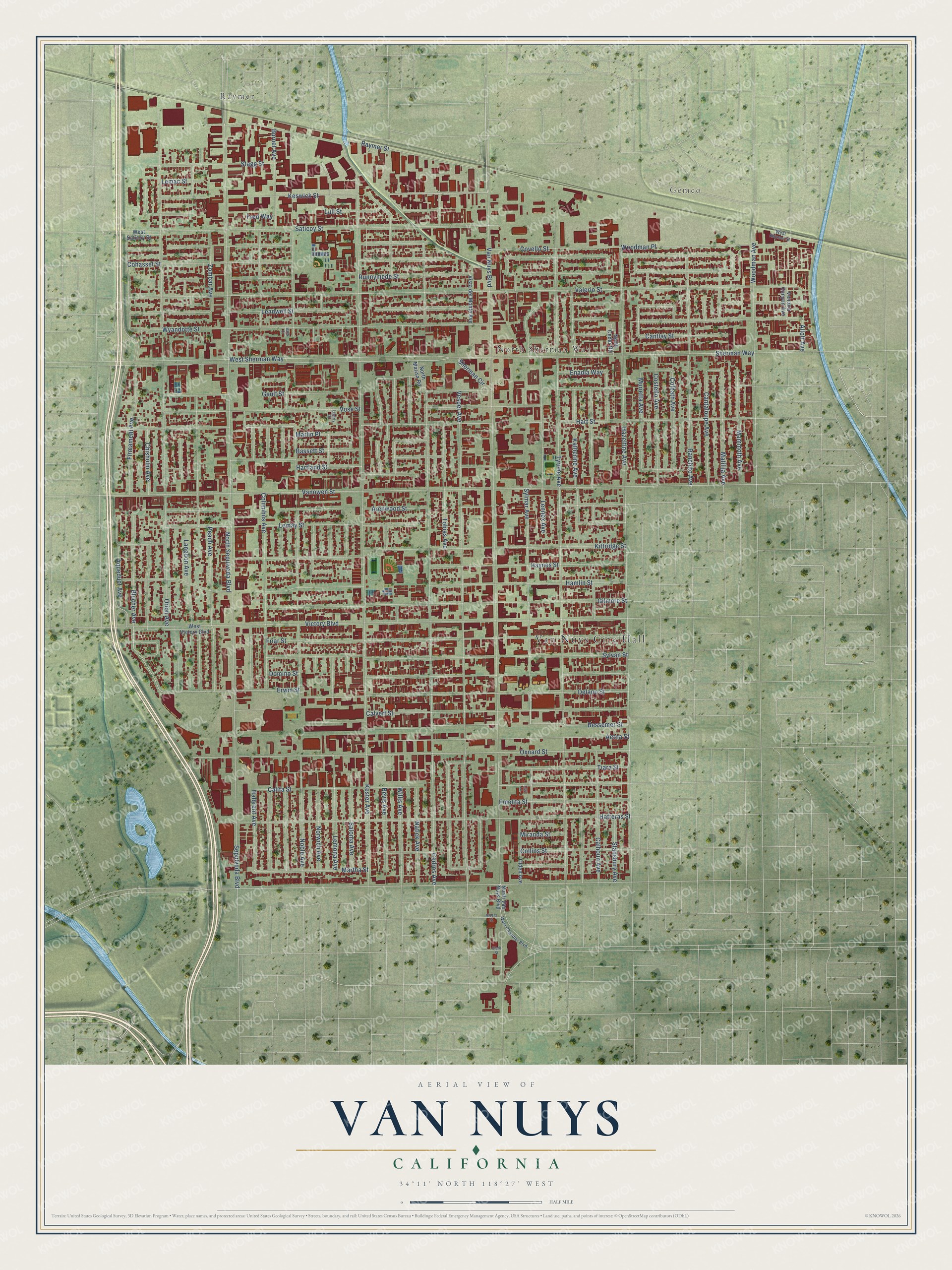
This beautifully detailed map of Van Nuys, California was created in 2026 using aerial imagery combined with modern topographical, census, street and landmark data. It's a modern aerial view of Van Nuys in Los Angeles County, California, that combines modern data with a vintage aesthetic. The roads feature printed names, and if you look closely you can find your exact house accurately shown in its correct location.
Explore an aerial view of Van Nuys, California
On this map you'll find Van Nuys City Hall, Raymer, Gemco, North Sherman Way, Sylmar Avenue, Murietta Avenue, Marlin Place, Leadwell Street, Keswick Street, Blucher Avenue, Van Nuys Boulevard, Sepulveda Boulevard, and more. Each red shape is a building, so zoom in on the preview and look for yours.
Van Nuys is a place in Los Angeles County. The map prints the town name in its title panel, with the coordinates below it.
Take a closer look at the Van Nuys map
Names on this map
These names are printed on this map.
Places: Van Nuys City Hall, Raymer, Gemco and North Sherman Way.
Streets and roads: Sylmar Avenue, Murietta Avenue, Marlin Place, Leadwell Street, Keswick Street, Blucher Avenue, Van Nuys Boulevard, Sepulveda Boulevard, Kester Avenue, Valerio Street, Tyrone Avenue, Sherman Way.
More street names, A to Z
Aetna Street, Albers Street, Allott Avenue, Aqueduct Avenue, Archwood Street, Baek Court, Bassett Street, Bessemer Street, Bevis Avenue, Burnet Avenue, Calhoun Avenue, Califa Street, Calvert Street, Cantaloupe Avenue, Cantlay Street, Cedros Avenue, Chisholm Avenue, Clark Street, Cohasset Street, Colbath Avenue, Collins Street, Columbus Avenue, Costello Avenue, Covello Street, Delano Street, Domino Street, Emelita Street, Enadia Way, Erwin Street, Firmament Avenue, Fred Way, Friar Street, Gault Street, Gilmore Street, Halbrent Avenue, Hamlin Street, Hartland Street, Hart Street, Hatteras Street, Haynes Street, Hazeltine Avenue, Katherine Avenue, Kittridge Street, Langdon Avenue, Lemac Street, Lemay Street, Lemona Avenue, Lennox Avenue, Levi Lane, Liberty Drive, Lull Street, Mammoth Avenue, Martha Street, Matilija Avenue, Miranda Street, Natick Avenue, Noble Avenue, North Cedar Road, North Marisa Road, North Sepulveda Boulevard, North Van Nuys Boulevard, Norwich Avenue, Orion Avenue, Oxnard Street, Peach Avenue, Ranchito Avenue, Raymer Street, Runnymede Street, Saloma Avenue, Saticoy Street, Sherman Circle, Stagg Street, Stansbury Avenue, Sylvan Street, Tiara Street, Tilden Avenue, Tobias Avenue, Vanowen Street, Ventura Canyon Avenue, Vesper Avenue, Victory Boulevard, Vista del Monte Avenue, Vose Street, West Chandler Boulevard, West Raymer Street, West Saticoy Street, West Sherman Way, West Victory Boulevard, Willis Avenue, Woodman Avenue, Woodman Place, Wyandotte Street, Zombar Avenue.
Created by KNOWOL in 2026. The buildings are small red shapes, the roads carry their printed names, and shaded relief shows the shape of the land. The title panel reads "AERIAL VIEW OF VAN NUYS CALIFORNIA" with 34°11' NORTH 118°27' WEST.
It looks right in a kitchen, an office or a den, and it's a gift for anyone who grew up in Van Nuys or moved away. Open the preview and find your street. See sizes and frames for the Van Nuys map.