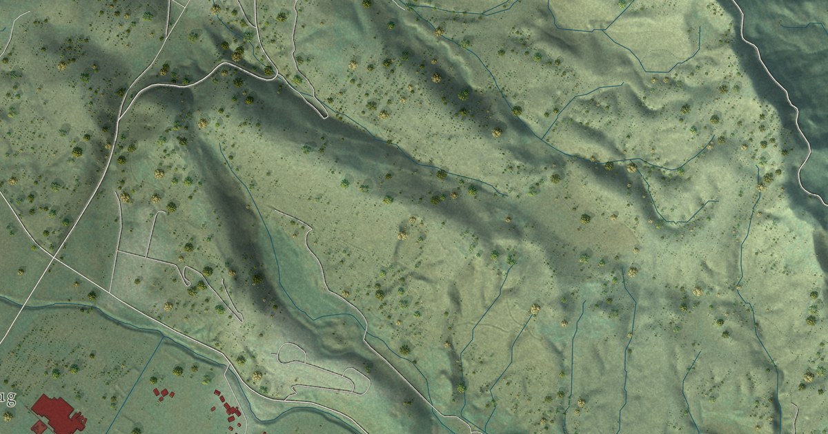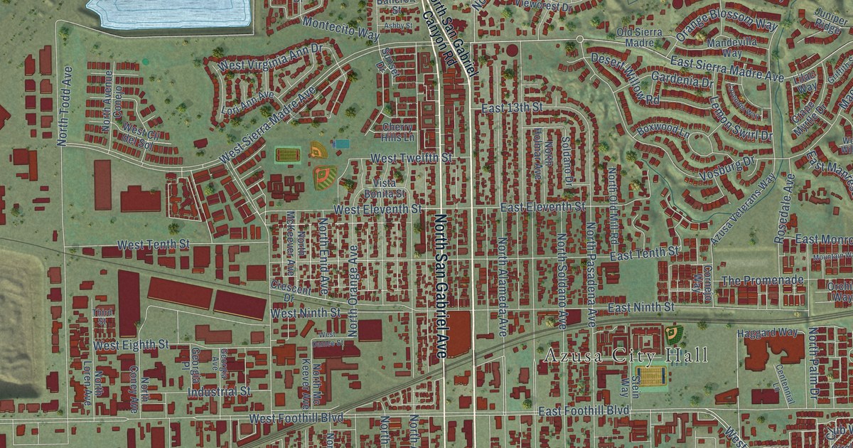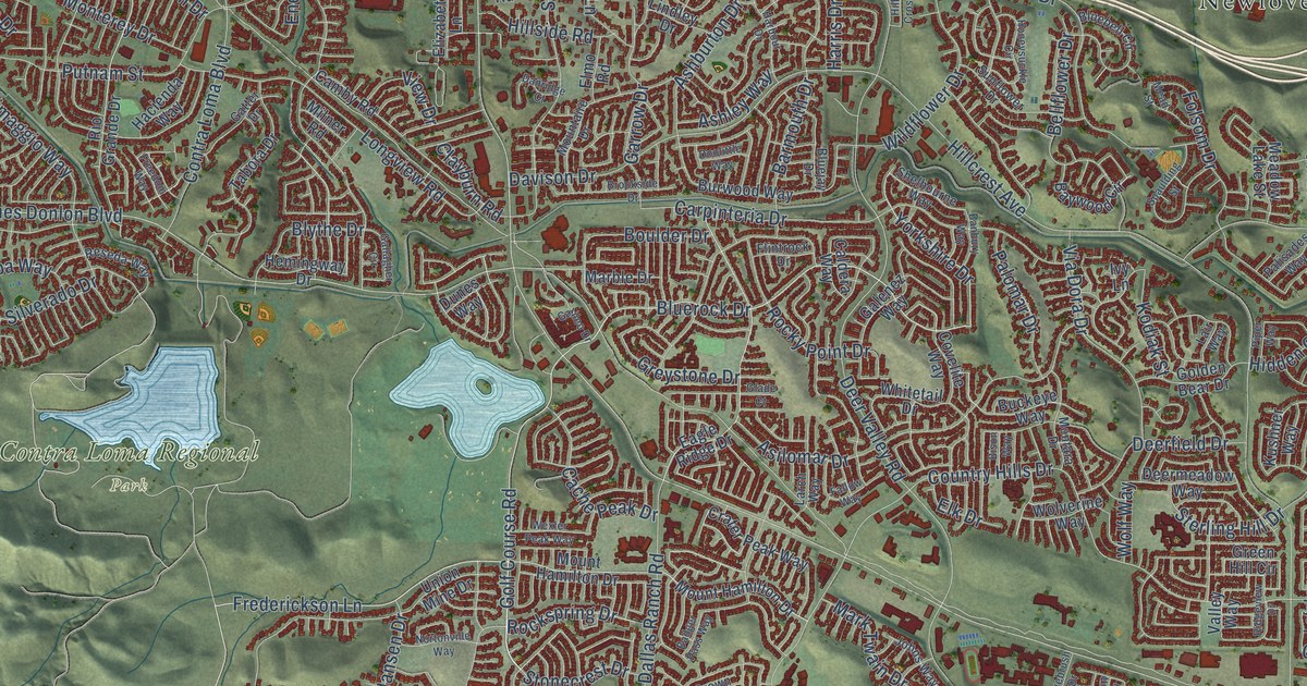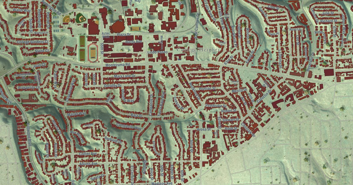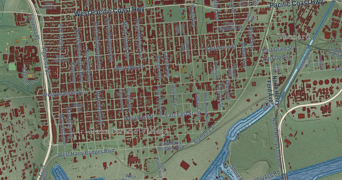
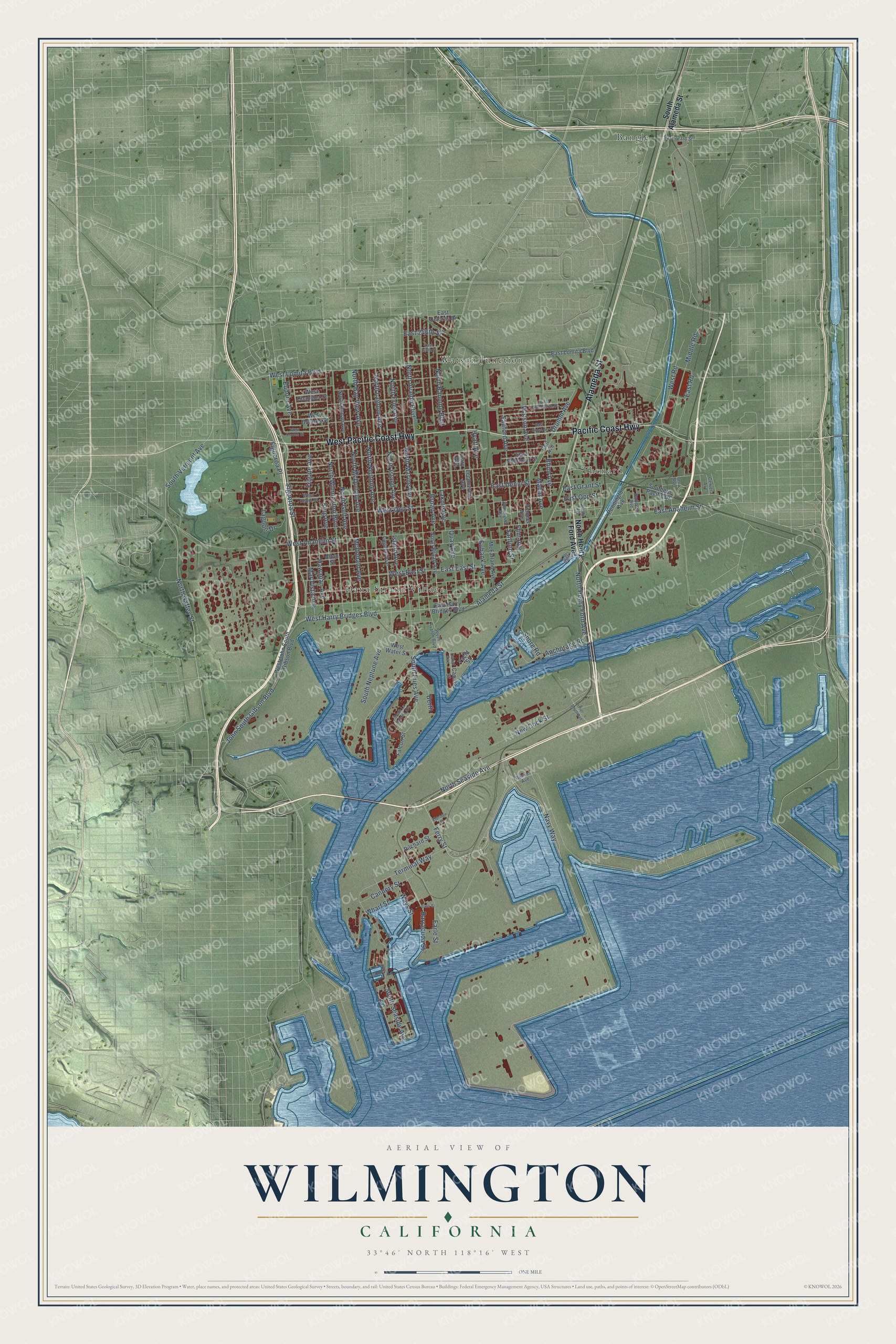
This beautifully detailed map of Wilmington, California was created in 2026 using aerial imagery combined with modern topographical, census, street and landmark data. It's a modern aerial view of Wilmington in Los Angeles County, California, that combines modern data with a vintage aesthetic. The roads feature printed names, and if you look closely you can find your exact house accurately shown in its correct location.
Explore an aerial view of Wilmington, California
On this map you'll find Bangle, Dana Strand Village, Thenard, Watson Junction, Alameda Street, Pacific Coast Highway, West Pacific Coast Highway, Figueroa Street, West Harry Bridges Boulevard, North Gaffey Street, North Seaside Avenue, Cannery Street, and more. Each red shape is a building, so zoom in on the preview and look for yours.
Here is a piece of Wilmington history, in the words of the record. The record at ohp.parks.ca.gov puts it this way: "General Phineas Banning, State Senator and pioneer in the development of transportation in Southern California, built this house in the 1850s, soon after founding the town of Wilmington."
Wilmington is a place in Los Angeles County.
Take a closer look at the Wilmington map
Names on this map
These names are printed on this map.
Places: Bangle, Dana Strand Village, Thenard and Watson Junction.
Streets and roads: Alameda Street, Pacific Coast Highway, West Pacific Coast Highway, Figueroa Street, West Harry Bridges Boulevard, North Gaffey Street, North Seaside Avenue, Cannery Street, Ferry Street, Terminal Way, John South Gibson Boulevard, South Vermont Avenue.
More street names, A to Z
Alton Street, Anchorage Road, Barracuda Street, Bass Street, Berth, Blinn Avenue, Broad Avenue, Canal Avenue, Canal Street, Cary Avenue, Cervera Avenue, Coil Avenue, Dominguez Avenue, Drumm Avenue, Earle Street, East 223rd Street, East 246th Street, East 248th Street, East Anaheim Street, East Colon Street, East Deloras Drive, East Denni Street, East East Street, East Grant Street, East Harry Bridges Boulevard, East Lomita Boulevard, East Opp Street, East Road, East Robidoux Street, East Sandison Street, Eldridge Street, Eubank Avenue, Eudora Avenue, Falcon Street, Figueroa Place, Flint Avenue, Frigate Avenue, Hawaiian Avenue, Hyatt Avenue, Island Avenue, King Avenue, Lagoon Avenue, Lagoon Drive, Lakme Avenue, Lecouvreur Avenue, Mahar Avenue, Mar Vista Avenue, McDonald Avenue, McFarland Avenue, Middle Road, Navy Way, New Dock Street, North Avalon Boulevard, North Banning Boulevard, North Bay View Avenue, North Broad Avenue, North Fries Avenue, North Gulf Avenue, North Henry Ford Avenue, North Island Avenue, North Lagoon Avenue, North Marine Avenue, North McDonald Avenue, North Neptune Avenue, North Ronan Avenue, North Wilmington Boulevard, Pennington Avenue, Perry Avenue, Pier South Avenue, Pilchard Street, Pioneer Avenue, Preble Avenue, Quay Avenue, Reeves Avenue, Sampson Avenue, Sanford Avenue, Sanford Street, Shore Road, South Alameda Street, South Avalon Boulevard, Southern Pacific Drive, South Fries Avenue, South La Paloma Avenue, South Neptune Avenue, South Seaside Avenue, Watson Avenue, Ways Street, West Anaheim Street, West Chandler Street, West Cruces Street, West Denni Street, West Dolores Street, West East Street, West John South Gibson Boulevard, West Lomita Boulevard, West Opp Street, West Road, West Water Street, Wharf Street, Yacht Street.
Created by KNOWOL in 2026. The buildings are small red shapes, the roads carry their printed names, and shaded relief shows the shape of the land. The title panel reads "AERIAL VIEW OF WILMINGTON CALIFORNIA" with 33°46' NORTH 118°16' WEST.
It suits a den, a classroom or a front hall, and it makes a gift for anyone with Wilmington roots. Open the preview and find the block you know. See sizes and frames for the Wilmington map.