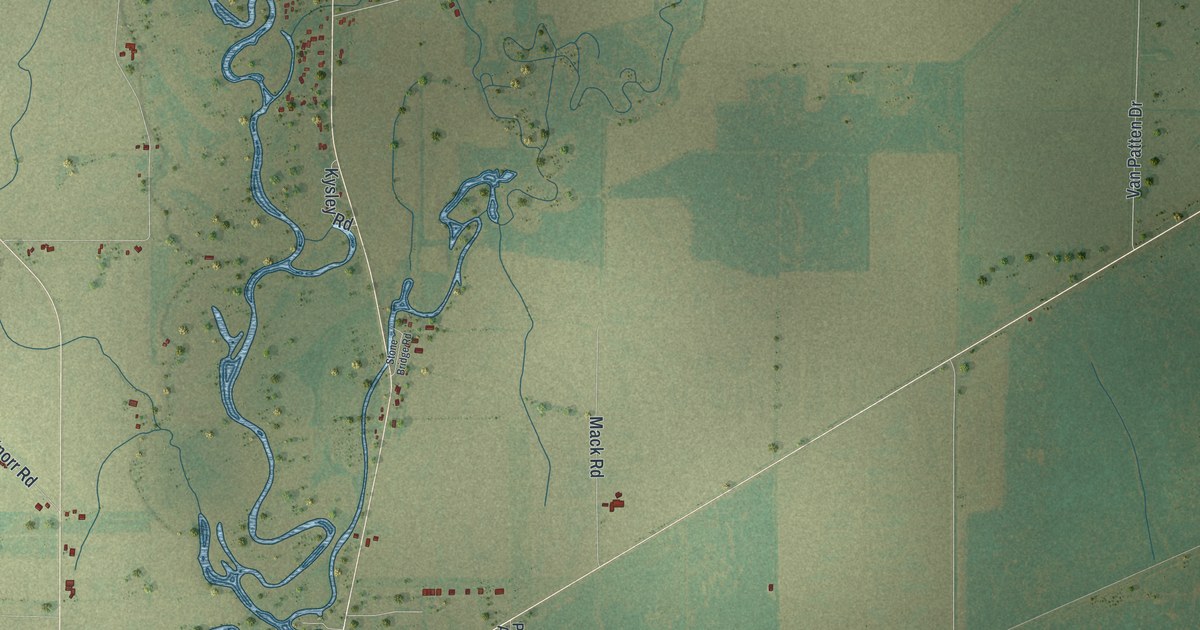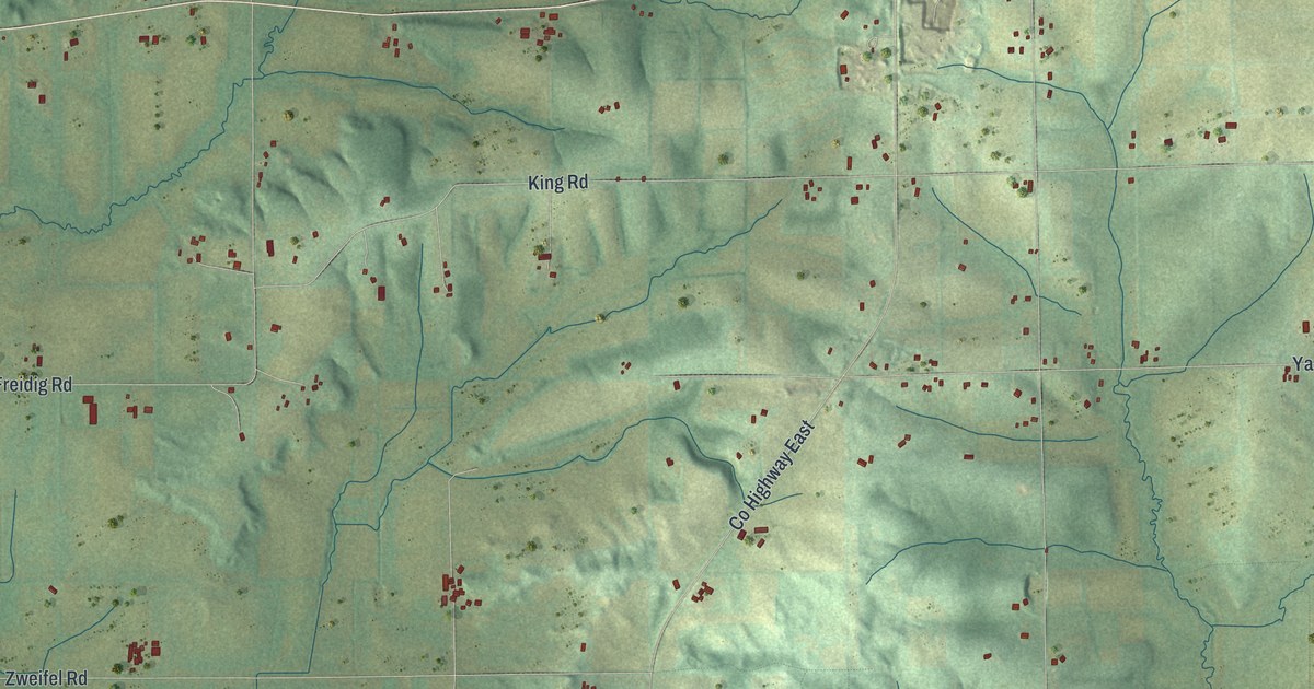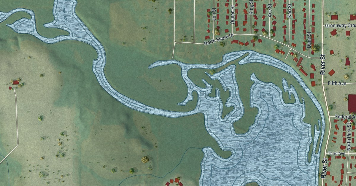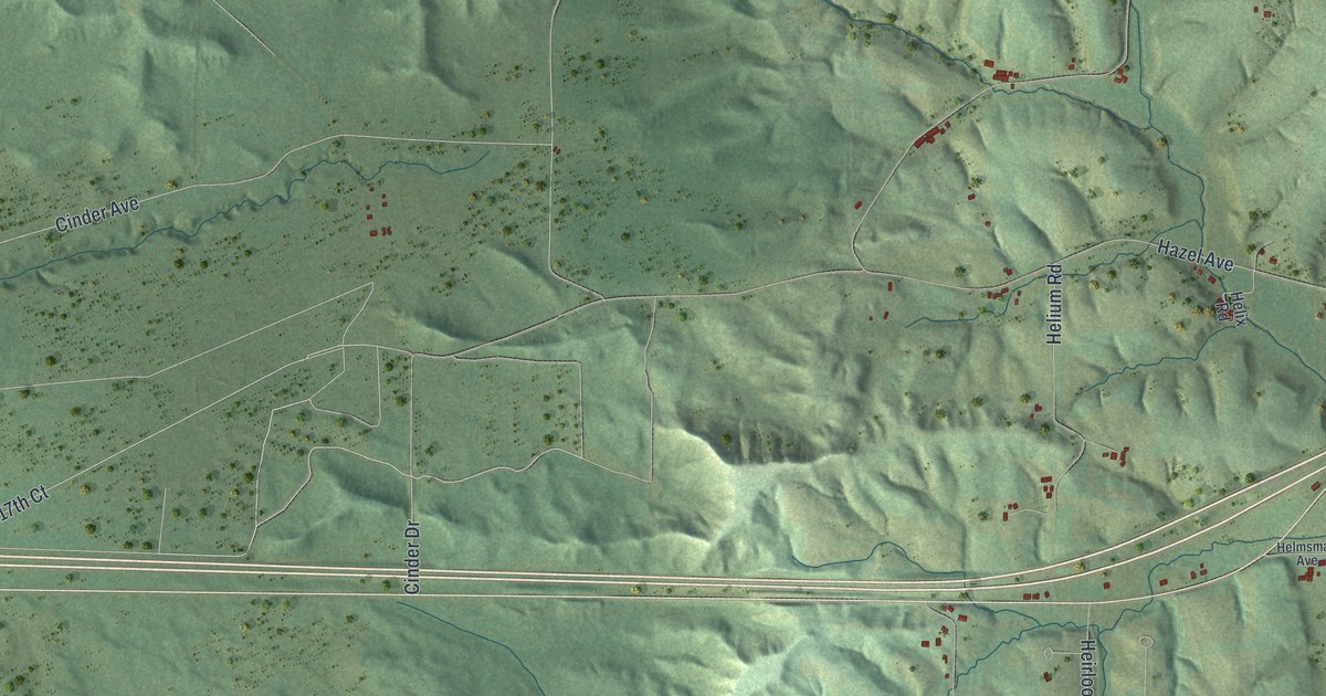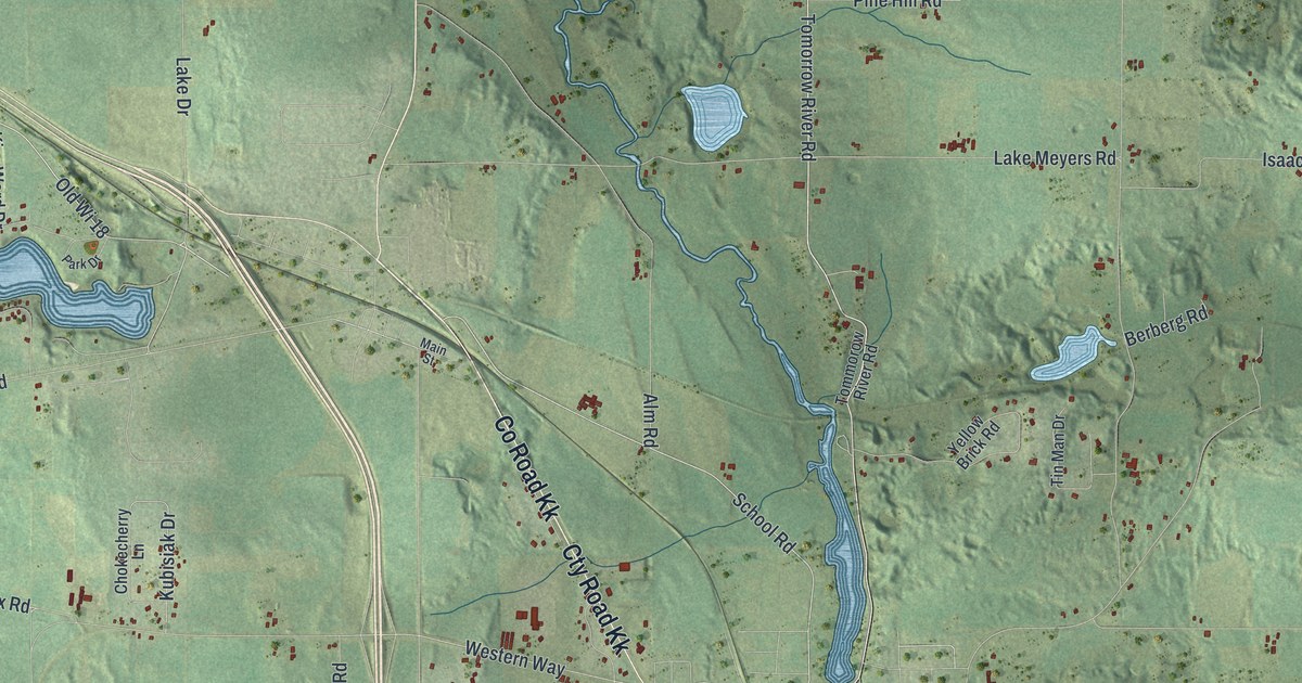
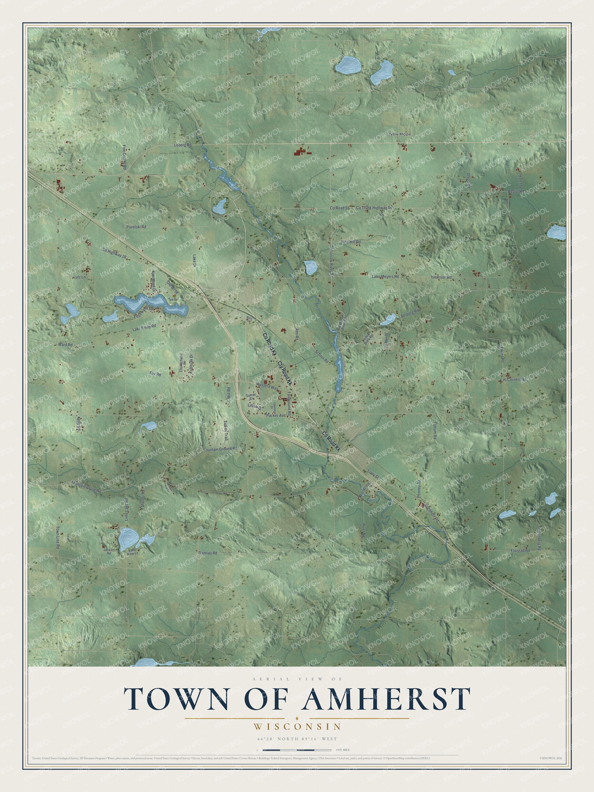
This beautifully detailed map of Amherst, Wisconsin was created in 2026 using aerial imagery combined with modern topographical, census, street and landmark data. It's a modern aerial view of Amherst in Portage County, Wisconsin, that combines modern data with a vintage aesthetic. The roads feature printed names, and if you look closely you can find your exact house accurately shown in its correct location.
Explore an aerial view of Amherst, Wisconsin
On this map you'll find New Hope, Co Road Kk, Cty Road Kk, Tomorrow River Road, School Road, Lake Drive, Loberg Road, Old Highway 18, Old Wi 18, Western Way, Fox Road, Fountain Grove Road, and more. Each red shape is a building, so zoom in on the preview and look for yours.
Amherst is a town in Portage County. The Census Bureau counted 1,402 people here in 2020. The map prints the town name in its title panel, with the coordinates below it.
Take a closer look at the Amherst map
Names on this map
These names are printed on this map.
Places: New Hope.
Streets and roads: County Road Kk, Cty Road Kk, Tomorrow River Road, School Road, Lake Drive, Loberg Road, Old Highway 18, Old Wi 18, Western Way, Fox Road, Fountain Grove Road, Ward Road.
More street names, A to Z
Alm Road, Berberg Road, Bestul Road, Buchholz Road, Chokecherry Lane, Co Trunk Highway Ss, County Road Ss, Damrau Road, Edgewater Drive, Elkins Road, Fairground Road, Five Corner Road, Floistad Road, Fountain Ground Road, Hi Corners Road, Hoyard Road, Isaacson Road, Jackies Road, Keener Road, Kelly Road, Kjer Ward Drive, Kubisiak Drive, Lake Emily Road, Lake Meyers Road, Lake View Lane, Lillian Drive, Lime Lake Road, Lorry Street, Lutz Lane, Main Street, Mill Road, Olson Road, Opening Drive, Packer Avenue, Park Drive, Pavelski Road, Penney Road, Pheasant View Lane, Pine Hill Road, River Road, Shulfer Road, Stoltenberg Road, Sumac Circle, Tin Man Drive, Toftum Road, Tommorow River Road, Town Line Road, Turkey Trail, Yellow Brick Road.
Created by KNOWOL in 2026. The buildings are small red shapes, the roads carry their printed names, and shaded relief shows the shape of the land. The title panel reads "AERIAL VIEW OF TOWN OF AMHERST WISCONSIN" with 44°28' NORTH 89°16' WEST.
Hang it in the hallway, the office or the cabin, or give it to someone who left Amherst and still calls it home. Open the preview and look for a street you know. See sizes and frames for the Town of Amherst map.