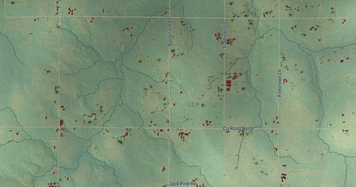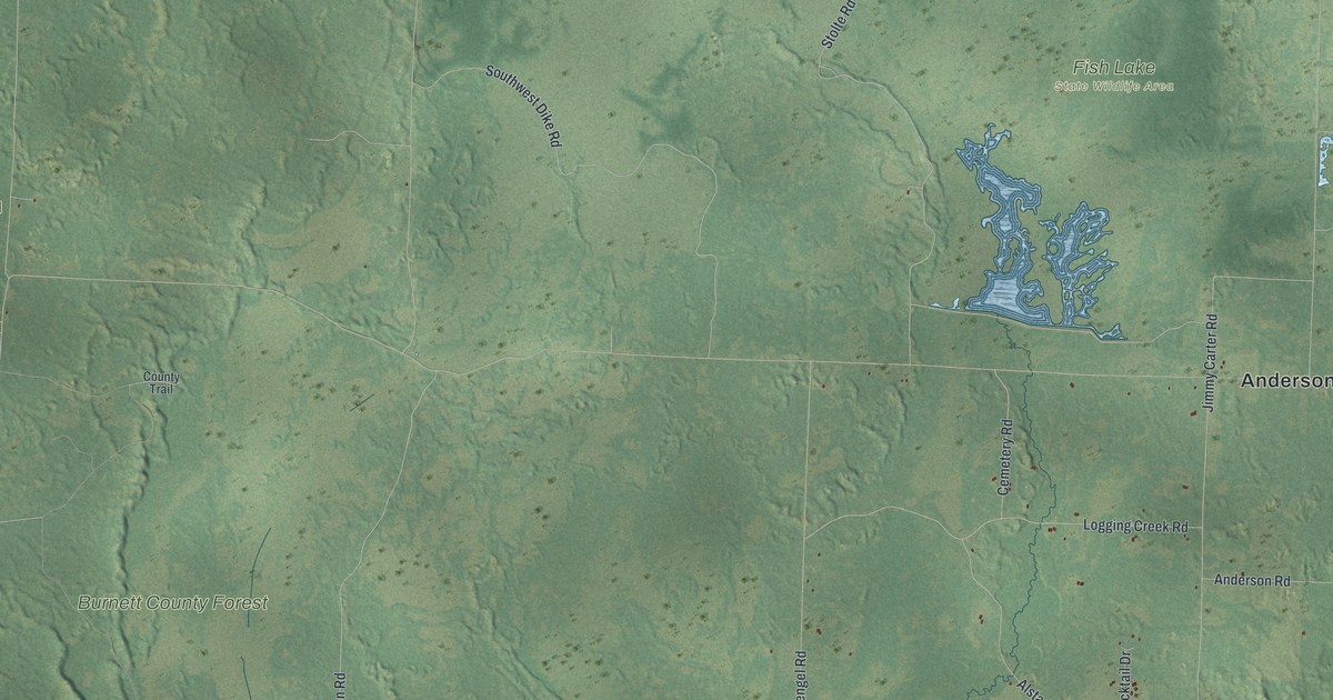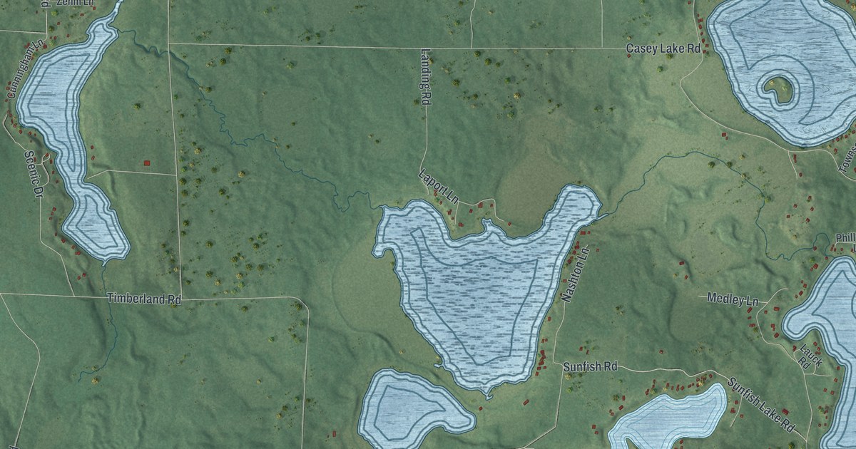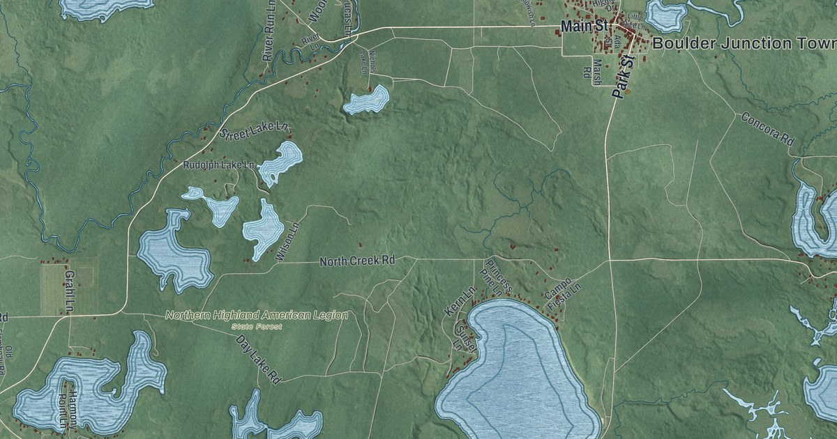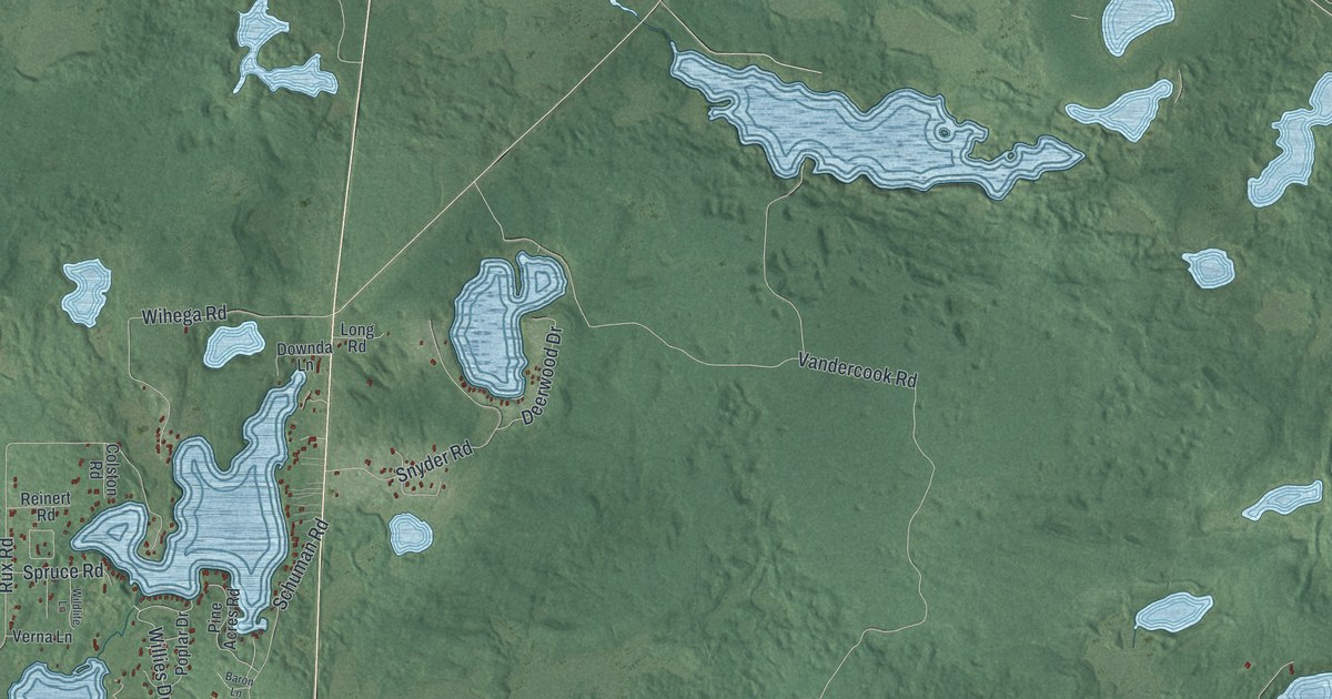
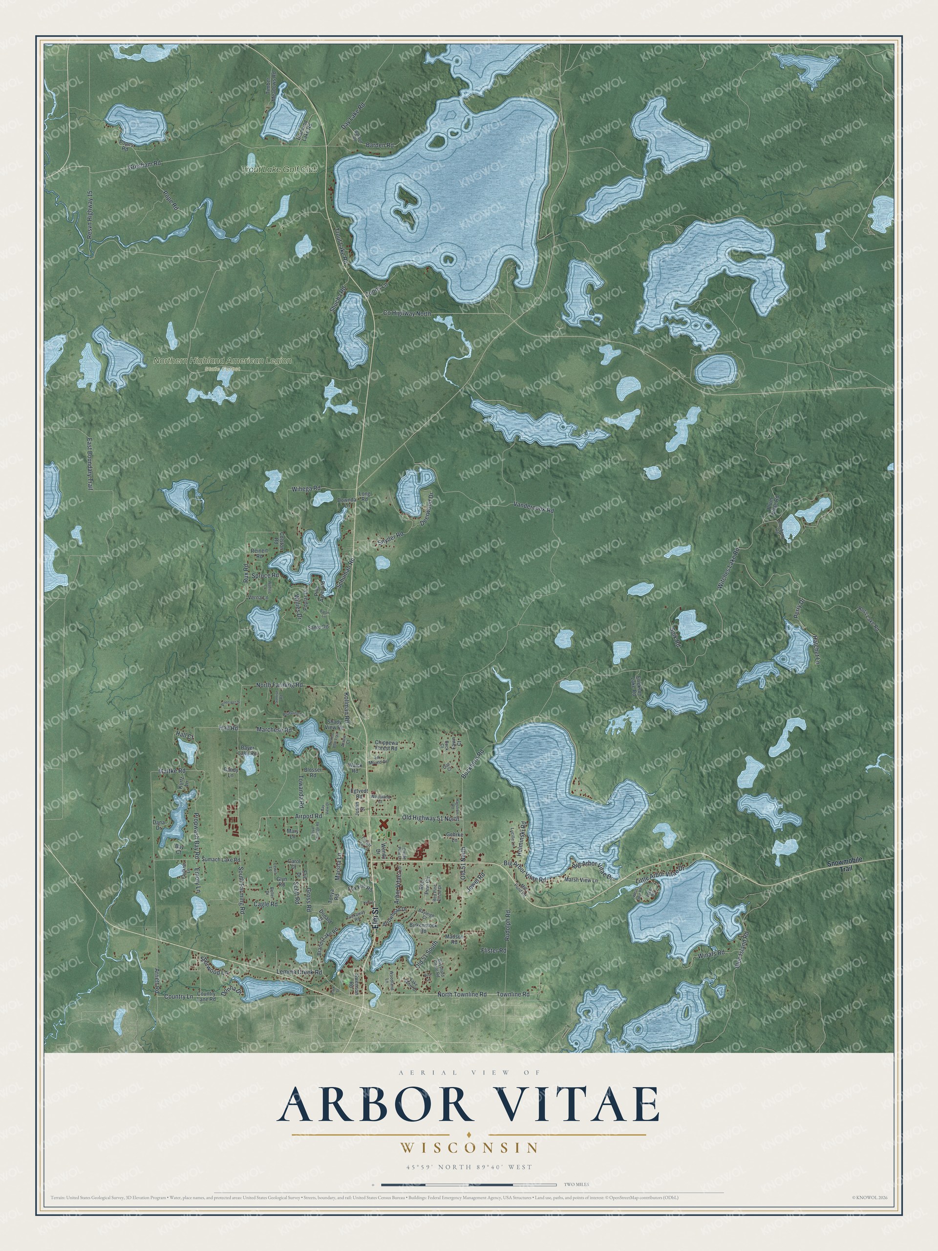
This beautifully detailed map of Arbor Vitae, Wisconsin was created in 2026 using aerial imagery combined with modern topographical, census, street and landmark data. It's a modern aerial view of Arbor Vitae in Vilas County, Wisconsin, that combines modern data with a vintage aesthetic. The roads feature printed names, and if you look closely you can find your exact house accurately shown in its correct location.
Explore an aerial view of Arbor Vitae, Wisconsin
On this map you'll find Northern Highland American Legion State Forest, Trout Lake Golf Club, Elm Street, Lemma Creek Road, Old Highway 51 North, Willies Drive, Gresham Road, North Townline Road, Townline Road, Big Arbor Vitae Road, Witches Lake Road, Vandercook Road, and more. Each red shape is a building, so zoom in on the preview and look for yours.
Arbor Vitae is a town in Vilas County. The Census Bureau counted 3,403 people here in 2020. The map prints the town name in its title panel, with the coordinates below it.
Take a closer look at the Arbor Vitae map
Names on this map
These names are printed on this map.
Places: Northern Highland American Legion State Forest and Trout Lake Golf Club.
Streets and roads: Elm Street, Lemma Creek Road, Old Highway 51 North, Willies Drive, Gresham Road, North Townline Road, Townline Road, Big Arbor Vitae Road, Witches Lake Road, Vandercook Road, North Farming Road, Buckhorn Road.
More street names, A to Z
Airport Road, Arbor Vitae Lane, Arnett Road, Arrow Court, Arrowhead Drive, Barden Road, Bardon Road, Baron Lane, Bay Court, Bayer Lake Road, Bayleigh Court, Bay View Drive, Beller Drive, Big Arbor Vitae Drive, Birkenstock Road, Blosser Road, Blueberry Road, Bluebird Lane, Blue Island Road, Bosshard Circle Road, Brandy Lake Road, Broken Bow Trail, Buck Court, Cagle Road, Candy Lane, Carol Drive, Chippewa Forest Road, Circle Pine Lane, Clover Leaf Lane, Colston Road, Coons Lane, Country Lane, Country Lane Road, County Highway North, Dana Drive, Day Lake Road, Deerwood Drive, Diamond Lake Road, Doe Court, Donald Drive, Donna Drive, Downda Lane, East Boundary Trail, Egtvedt Road, Elk Mound Drive, Emory Lane, Eric Drive, Erickson Lake Road, Faulkner Lane, Fawn Court, Flister Road, Fox Fire Road, Gehrke Lane, Glyn Road, Gross Road, Hagstrom Road, Hall Court, Hall Road, Hatchet Lane, Helminski Road, Jewel Road, Justin Street, Kern Lane, Kollman Road, Kurtz Lane, Lake Shore Drive, Lewis Lane, Little Arbor Vitae Drive, Long Road, Lucille Lane, Madson Road, Marchese Road, Marsha Lane, Marsh View Lane, Mary Lane, Mattke Road, Mill Pond Road, Old 51 North, Old 51 South, Park Street, Perry Drive, Pine Acres Road, Pinecrest Drive, Pine Lane, Plum Vitae Road, Pope Road, Popes Road, Poplar Drive, Propwash Bay Road, Red Pine Circle, Red Pine Circle Drive, Reinert Road, Resvn Highway 15, Ross Lake Road, Royal Carriage Road, Rudolph Road, Rux Road, Santo Road, Schuman Road, Scott Road, Shady View Road, Sherwood Lane, Shucha Road, Snowmobile Trail, Snyder Road, Soik Road, South Farming Road, Spruce Road, Sumach Lake Road, Sunrise Road, Swenson Road, Timber Meadows Road, Tonya Road, Towanda Road, Trout Lake Road, Tuckaway Road, Upper Road, Verna Lane, Walck Road, Wendy Drive, West Spur Road, Wihega Road, Wildlife Lane, Winats Road, Woodland Court, Woodland Lane.
Created by KNOWOL in 2026. The buildings are small red shapes, the roads carry their printed names, and shaded relief shows the shape of the land. The title panel reads "AERIAL VIEW OF ARBOR VITAE WISCONSIN" with 45°59' NORTH 89°40' WEST.
Hang it in the hallway, the office or the cabin, or give it to someone who left Arbor Vitae and still calls it home. Open the preview and look for a street you know. See sizes and frames for the Arbor Vitae map.