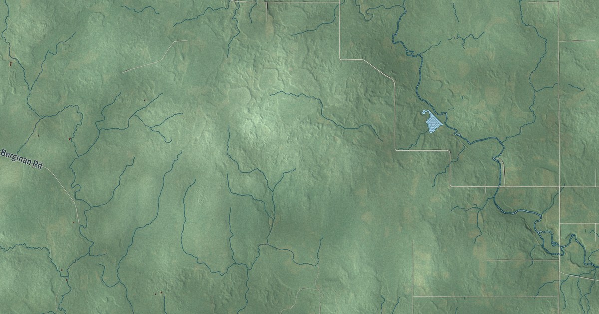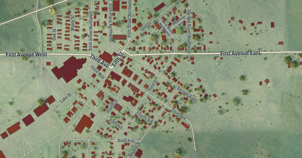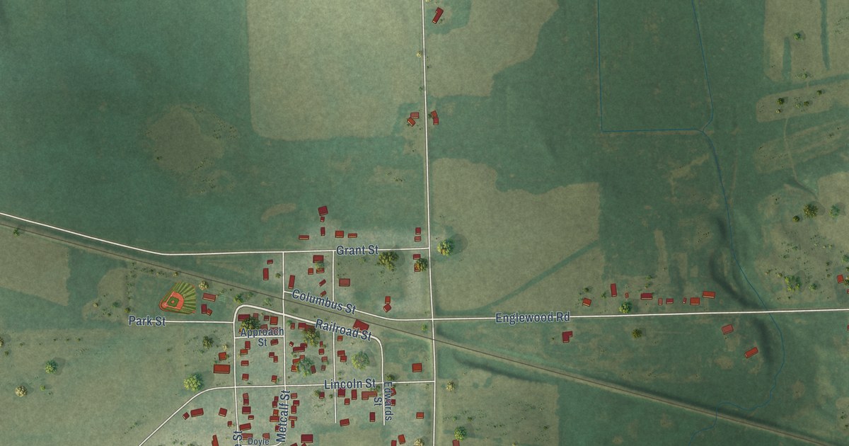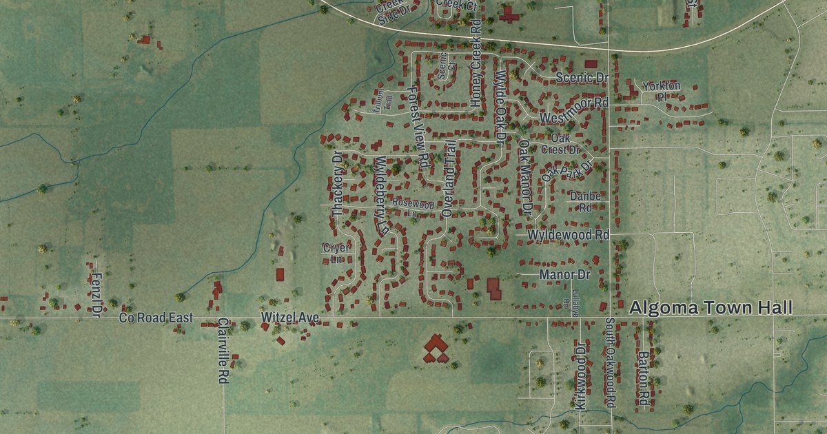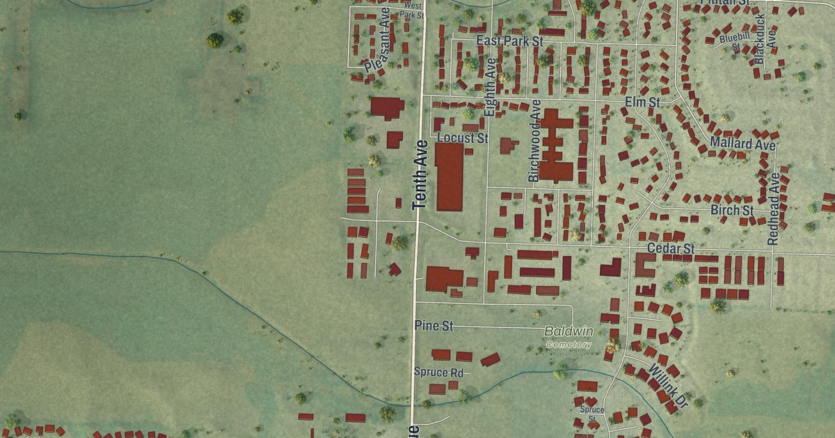
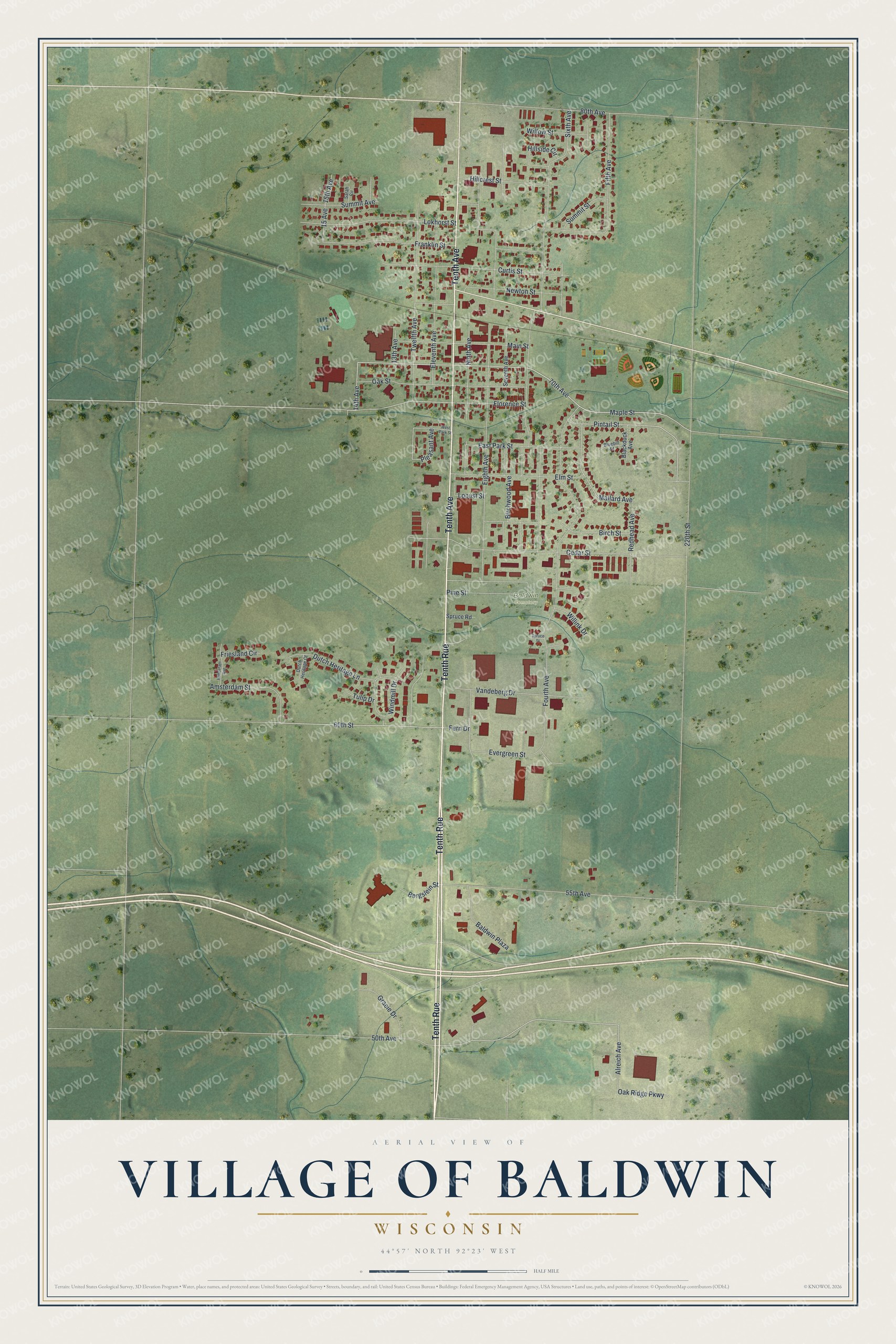
This beautifully detailed map of Baldwin, Wisconsin was created in 2026 using aerial imagery combined with modern topographical, census, street and landmark data. It's a modern aerial view of Baldwin in St. Croix County, Wisconsin, that combines modern data with a vintage aesthetic. The roads feature printed names, and if you look closely you can find your exact house accurately shown in its correct location.
Explore an aerial view of Baldwin, Wisconsin
On this map you'll find Baldwin Cemetery, Tenth Rue, Tenth Avenue, Maple Street, 60th Street, 14th Avenue, Pintail Street, Florence Street, Mallard Avenue, Alreich Avenue, Lokhorst Street, Twelfth Avenue, and more. Each red shape is a building, so zoom in on the preview and look for yours.
Baldwin is a village in St. Croix County. The Census Bureau counted 4,291 people here in 2020. The map prints the town name in its title panel, with the coordinates below it.
Take a closer look at the Baldwin map
Names on this map
These names are printed on this map.
Places: Baldwin Cemetery.
Streets and roads: Tenth Rue, Tenth Avenue, Maple Street, 60th Street, 14th Avenue, Pintail Street, Florence Street, Mallard Avenue, Alreich Avenue, Lokhorst Street, Twelfth Avenue, Eighth Avenue.
More street names, A to Z
13th Avenue, 15 Avenue, 15th Avenue, 50th Avenue, 55th Avenue, 70th Avenue, 80th Avenue, 220th Street, Amsterdam Street, Baldwin Plaza, Bergslein Street, Birch Street, Birchwood Avenue, Blackduck Avenue, Bluebill Street, Cedar Street, Curtis Street, Dutch Heritage Court, Dutch Heritage Lane, East Park Street, Eleventh Avenue, Elm Street, Evergreen Street, Fern Drive, Fifth Avenue, Fourth Avenue, Franklin Street, Friesland Circle, Gracie Drive, Hillcrest Street, Hillside Circle, Locust Street, Main Street, Newton Street, Ninth Avenue, Oak Ridge Parkway, Oak Street, Pine Street, Pleasant Avenue, Redhead Avenue, Rotterdam Avenue, Sarah Circle, Seventh Avenue, Sixth Avenue, Spruce Road, Spruce Street, Summit Avenue, Summit Street, Tulip Drive, Vandeberg Drive, West Park Street, Willink Drive, Willow Street, Windmill Drive.
Created by KNOWOL in 2026. The buildings are small red shapes, the roads carry their printed names, and shaded relief shows the shape of the land. The title panel reads "AERIAL VIEW OF VILLAGE OF BALDWIN WISCONSIN" with 44°57' NORTH 92°23' WEST.
It suits a den, a classroom or a front hall, and it makes a gift for anyone with Baldwin roots. Open the preview and find the block you know. See sizes and frames for the Baldwin map.