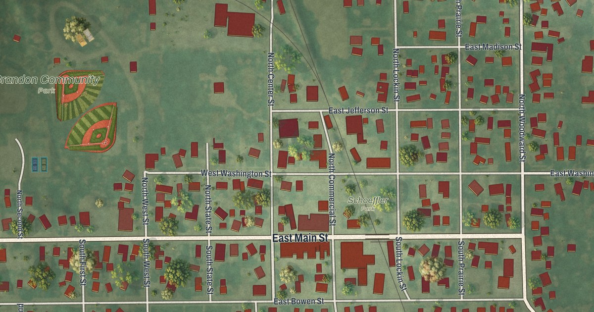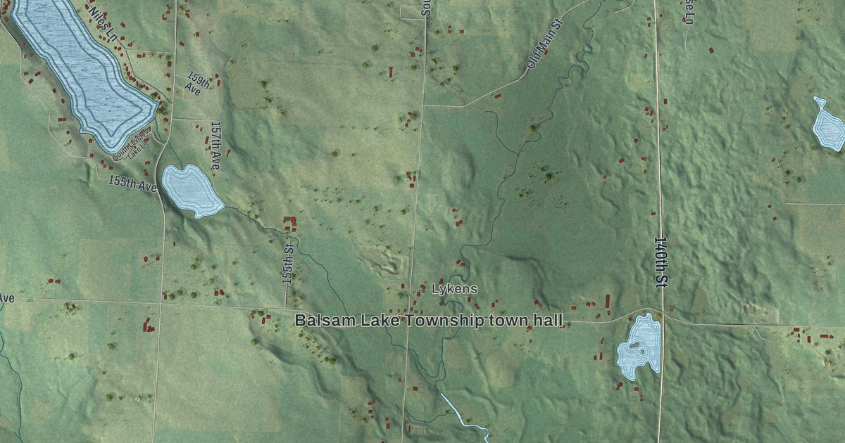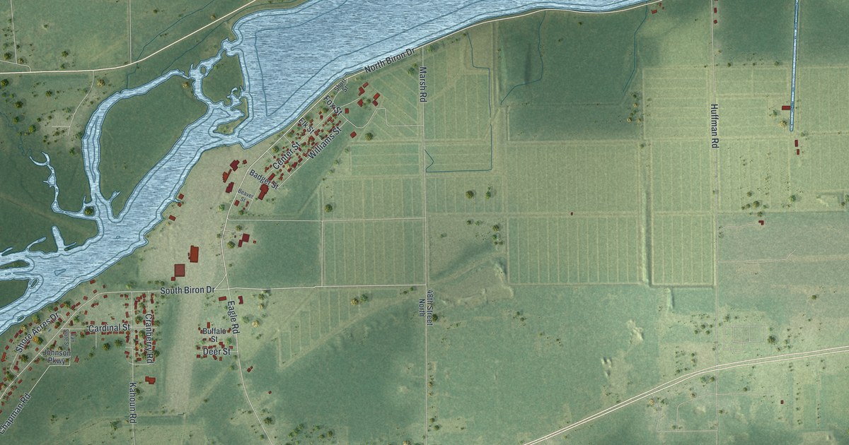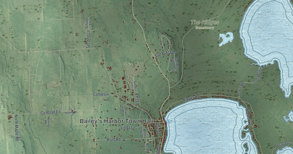
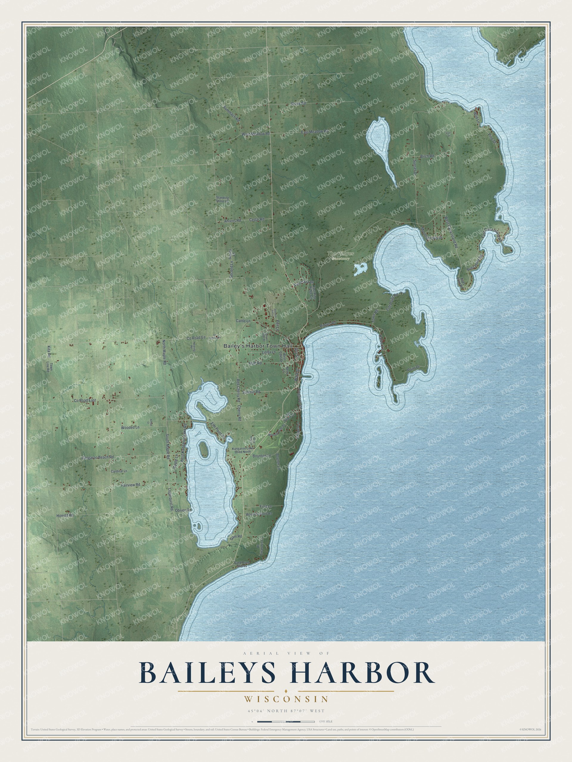
This beautifully detailed map of Baileys Harbor, Wisconsin was created in 2026 using aerial imagery combined with modern topographical, census, street and landmark data. It's a modern aerial view of Baileys Harbor in Door County, Wisconsin, that combines modern data with a vintage aesthetic. The roads feature printed names, and if you look closely you can find your exact house accurately shown in its correct location.
Explore an aerial view of Baileys Harbor, Wisconsin
On this map you'll find Bailey's Harbor Town Hall, The Ridges Sanctuary, Moonlight Bay Drive, West Cana Island Road, South Maple Road, Co Road East, Co Road Ee, West Meadow Road, Sunset Drive, Ridges Road, Grove Road, Fairview Road, and more. Each red shape is a building, so zoom in on the preview and look for yours.
Baileys Harbor is a town in Door County. The Census Bureau counted 1,223 people here in 2020. The map prints the town name in its title panel, with the coordinates below it.
Take a closer look at the Baileys Harbor map
Names on this map
These names are printed on this map.
Places: Bailey's Harbor Town Hall and The Ridges Sanctuary.
Streets and roads: Moonlight Bay Drive, West Cana Island Road, South Maple Road, County Road East, County Road Ee, West Meadow Road, Sunset Drive, Ridges Road, Grove Road, Fairview Road, Kangaroo Beach Road, Logerquist Road.
More street names, A to Z
Ahrens Road, All Creatures Lane, Apple Lane, Arthurs Court, Berry Lane, Birch Road, Bluff Road, Bonnie Brae Drive, Boynton Lane, Boyton Lane, Bues Point Road, Cardinal Lane, Cattle Lane, Cedar Road, Chapel Lane, Cherry Road, County Highway Ee, Dam Road, East Cana Island Road, East Meadow Road, East Pine Ridge Circle, Elm Point Road, First Lane, Frogtown Road, Fuzz Drive, Guy Street, Harbor Lane, Honold Road, Journeys End Lane, Juniper Ridge Road, Kangaroo Lake Drive North, Kita Road, Lake Shore Drive, Linda Lane, Nearing Road, North Maple Road, Obrien Road, Peil Lane, Pine Drive, Point Drive, Red Cherry Road, Sand Dune Shores, Schultz Lane, Second Lane, Standing Stone Lane, Stone Ridge Lane, Summach Road, Summit Road, Sun Plaza Drive, Toft Point Road, Town Line Road, Town Road, Ward Street, West Kangaroo Lake Road, West Oaks Drive, Wild Lane, Woerfels Wood Road, Wooded Lane.
Created by KNOWOL in 2026. The buildings are small red shapes, the roads carry their printed names, and shaded relief shows the shape of the land. The title panel reads "AERIAL VIEW OF BAILEYS HARBOR WISCONSIN" with 45°04' NORTH 87°07' WEST.
It suits a den, a classroom or a front hall, and it makes a gift for anyone with Baileys Harbor roots. Open the preview and find the block you know. See sizes and frames for the Baileys Harbor map.