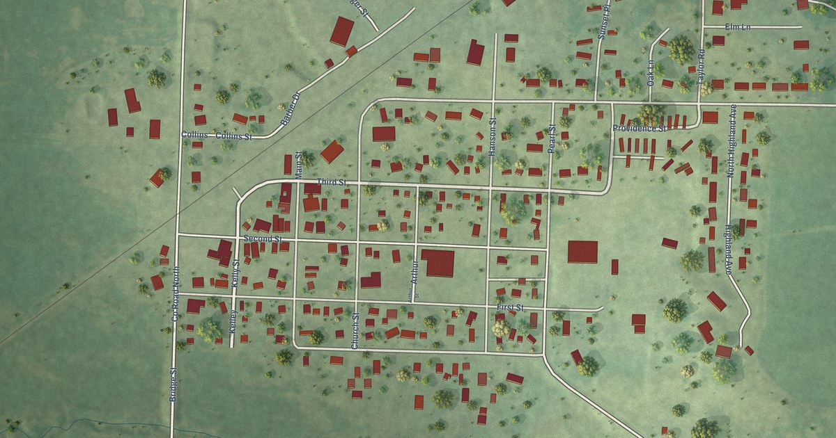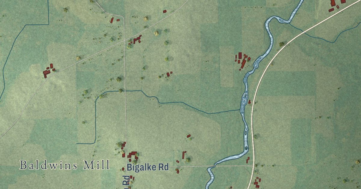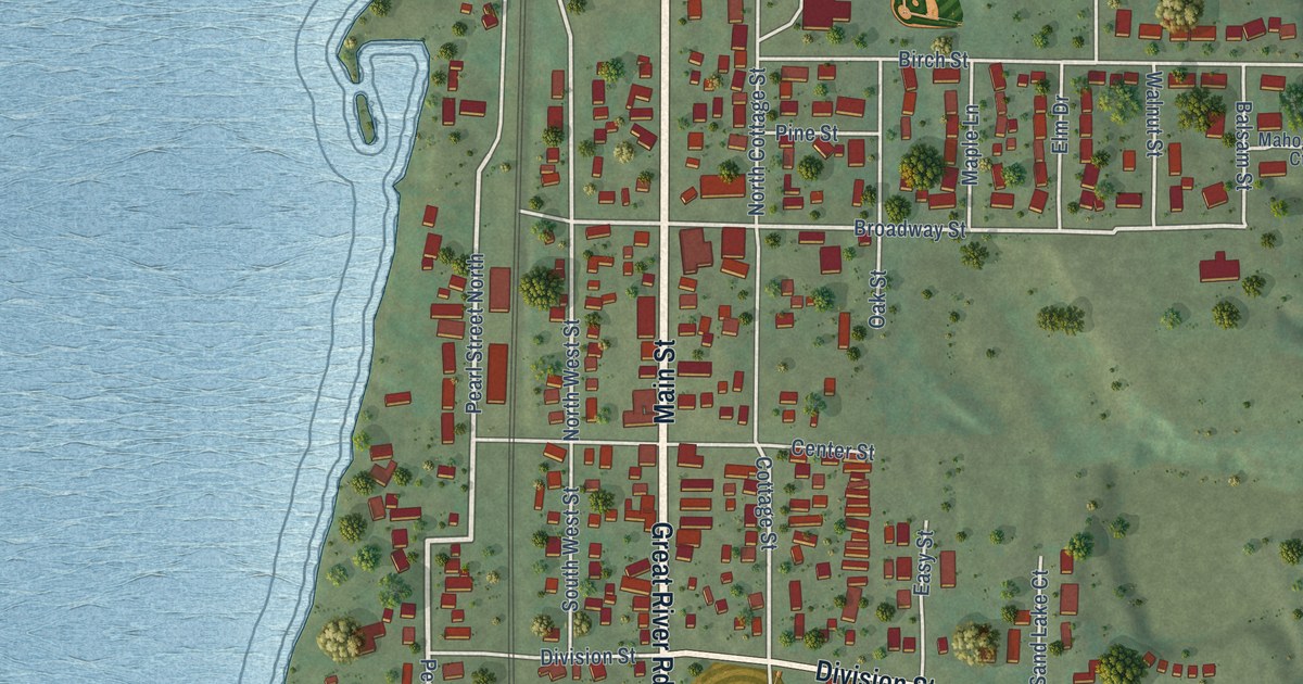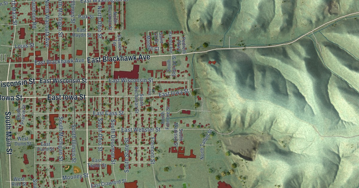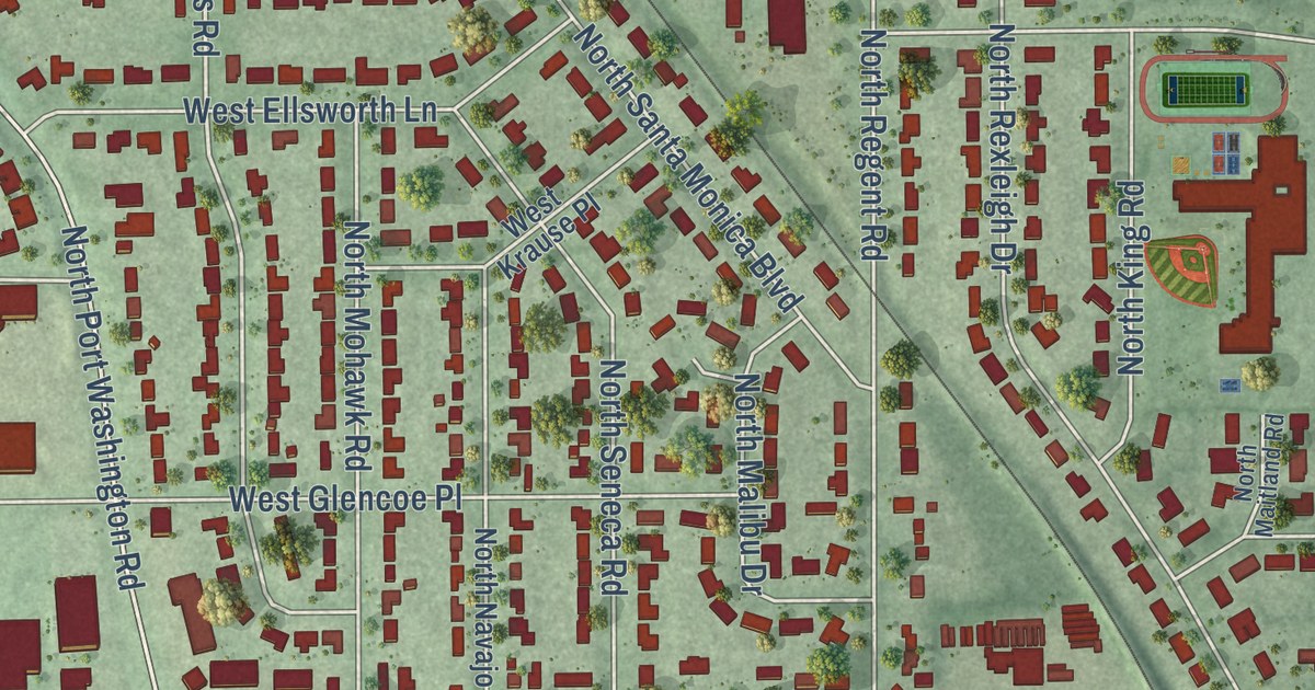
This beautifully detailed map of Bayside, Wisconsin was created in 2026 using aerial imagery combined with modern topographical, census, street and landmark data. It’s a one-of-a-kind view of Bayside that combines accurate data with a vintage aesthetic. The map shows every building in its true location, many of the roads carry their names, and the shaded topographic relief shows the shape of the land.
Explore an aerial view of Bayside, Wisconsin
On the map you’ll find Bayside Village Hall and Police Station, Doctors Park, and Schlitz Audubon Nature Center, along with East Brown Deer Road, North Lake Drive, West Brown Deer Road, North Broadmoor Road, West Ravine Baye Road, North Fairway Drive, North Iroquois Road, East Buttles Road, North Port Washington Avenue, and more. If you look closely you can even find your house accurately drawn in its correct location. Zoom in on the preview to look for yours.
Did you know this piece of Bayside, Wisconsin history?
From the Village of Bayside: "The step into the future was made when 467 persons incorporated the Village of Bayside, on February 13, 1953."
Take a closer look at the Bayside map
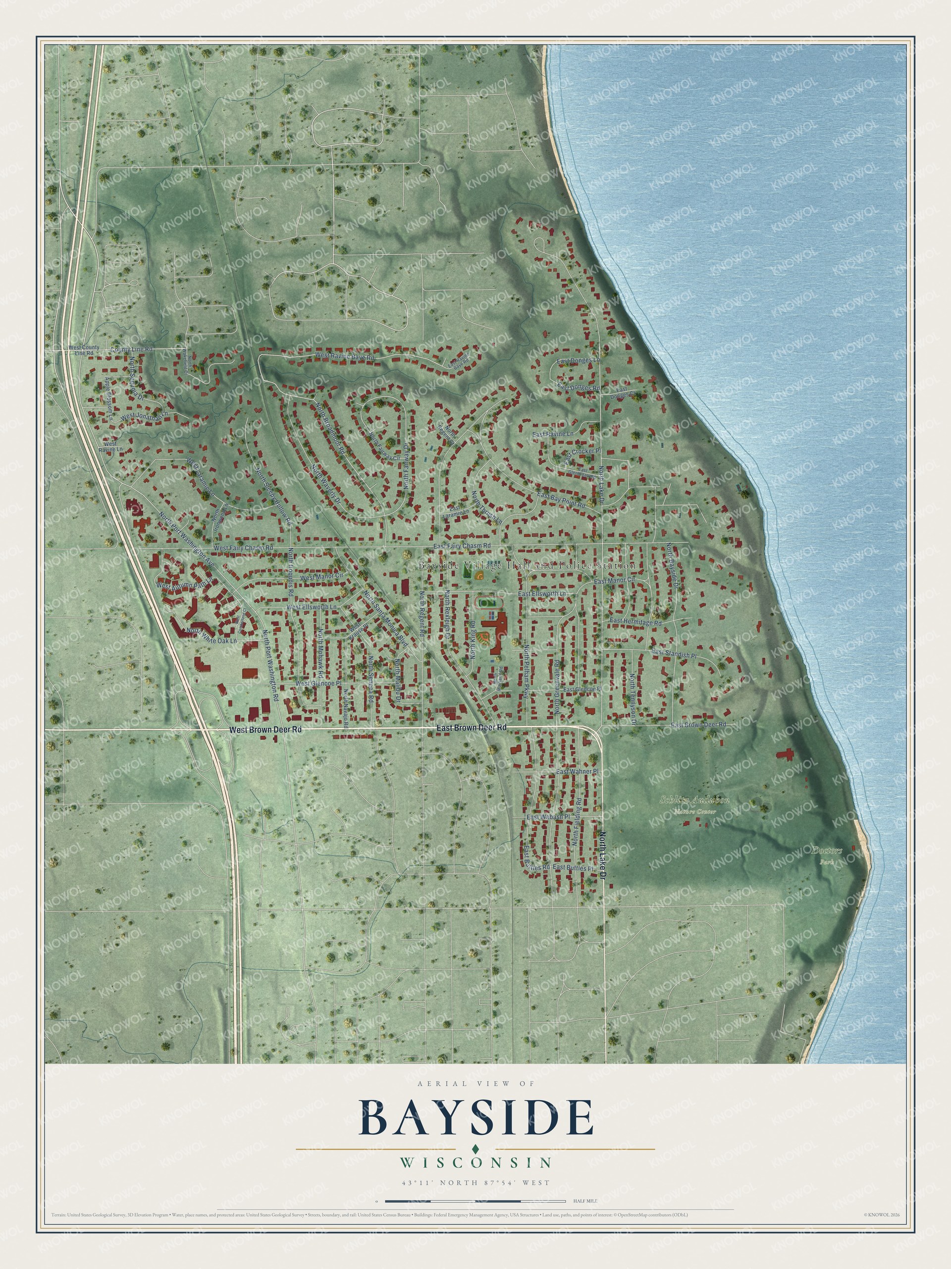
Street and place names on the Bayside, Wisconsin map
These names are printed on the map of Bayside, Wisconsin.
Places: Bayside Village Hall and Police Station, Doctors Park and Schlitz Audubon Nature Center.
Streets and roads: East Brown Deer Road, North Lake Drive, West Brown Deer Road, North Broadmoor Road, West Ravine Baye Road, North Fairway Drive, North Iroquois Road, East Buttles Road, North Port Washington Avenue, North Port Washington Road, North Pelham Parkway, North Regent Road.
More street names, A to Z
Apple Blossom Lane, County Line Road, East Bay Point Road, East Buttles Place, East Crocker Place, East Donges Court, East Donges Lane, East Donges Road, East Ellsworth Lane, East Fairy Chasm Road, East Glenbrook Road, East Glencoe Place, East Hermitage Road, East Laramie Lane, East Manor Circle, East Ravine Baye Road, East Ravine Lane, East Standish Place, East Wabash Place, East Wahner Place, North Bayside Drive, North Fairway Circle, North Fielding Road, North Greenvale Road, North Ironwood Lane, North King Road, North Maitland Road, North Malibu Drive, North Mohawk Road, North Navajo Road, North Regent Court, North Rexleigh Drive, North Santa Monica Boulevard, North Seneca Road, North Sequoia Drive, North Sleepy Hollow Road, North Tennyson Drive, North Thrush Lane, North Wakefield Court, North Waverly Drive, North White Oak Lane, West Autumn Path Lane, West County Line Road, West Cumberland Court, West Ellsworth Lane, West Fairy Chasm Road, West Glencoe Place, West Jonathan Lane, West Krause Place, West Laramie Lane, West Manor Circle, West Ravine Lane.
See the Bayside, Wisconsin map on a wall
The Bayside map as an 18 x 24 inch print in a black frame.

This beautifully detailed map of Bayside makes an attractive addition to your office, library, or den, and it can even be used to teach children the geography and history of the area. It also makes a great gift for anyone with Bayside roots. When you’re done exploring, click here to get your copy of the Bayside map.