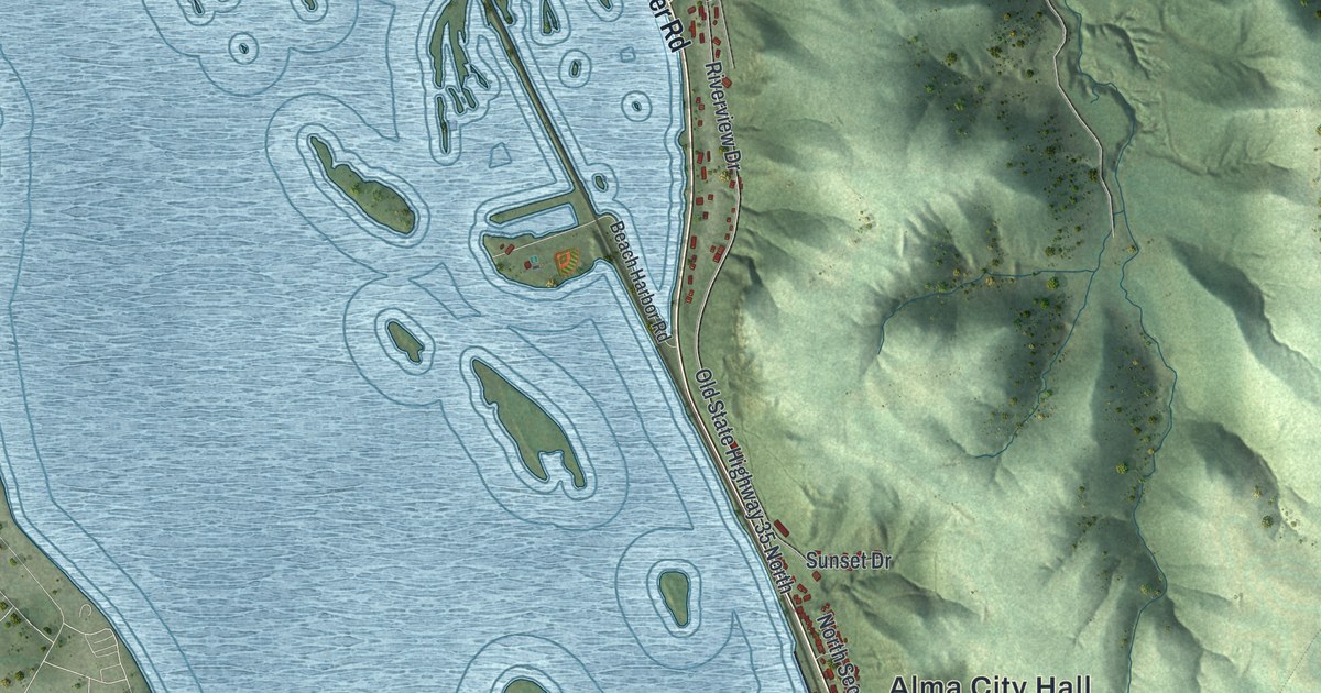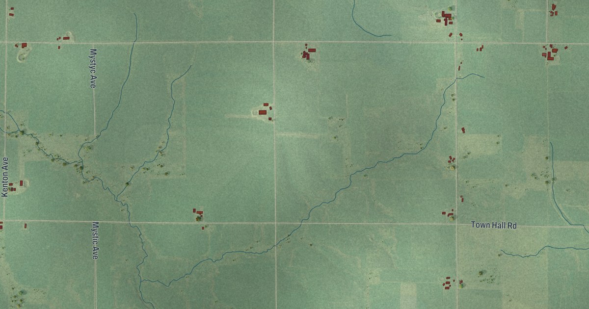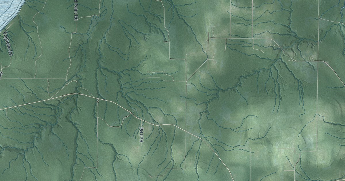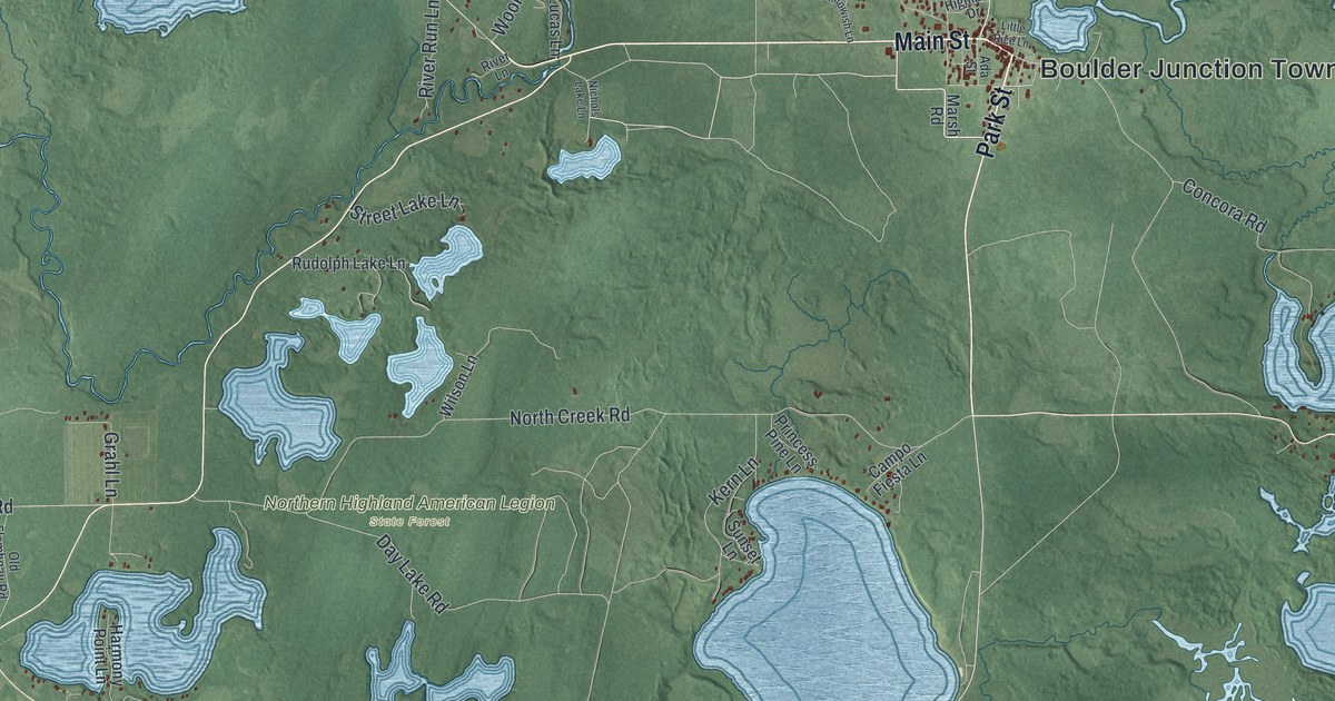
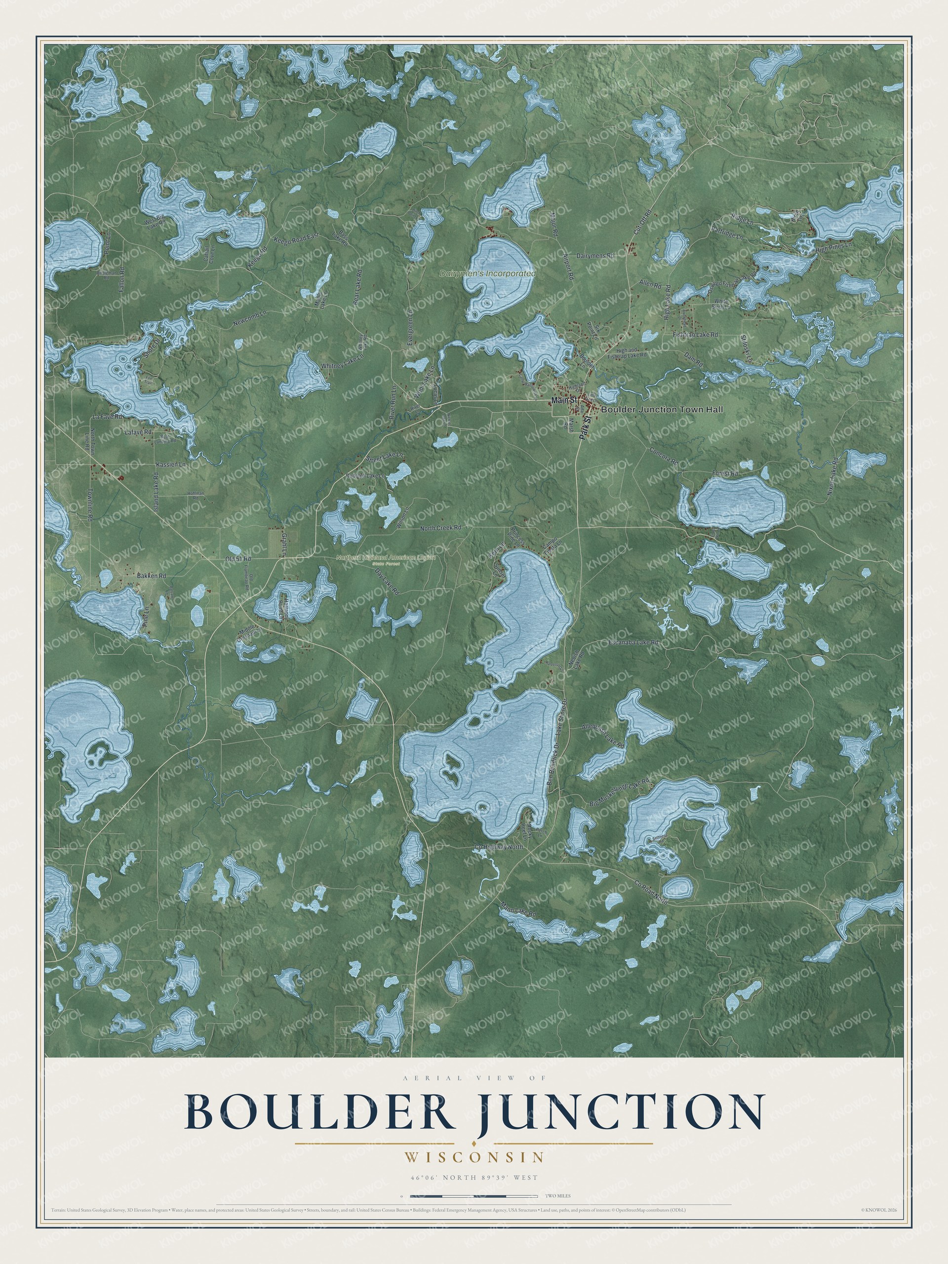
This beautifully detailed map of Boulder Junction, Wisconsin was created in 2026 using aerial imagery combined with modern topographical, census, street and landmark data. It's a modern aerial view of Boulder Junction in Vilas County, Wisconsin, that combines modern data with a vintage aesthetic. The roads feature printed names, and if you look closely you can find your exact house accurately shown in its correct location.
Explore an aerial view of Boulder Junction, Wisconsin
On this map you'll find Boulder Junction Town Hall, Dairymen's Incorporated, Northern Highland American Legion State Forest, Park Street, Main Street, Cut-Off Road, Fallon Road, High Lake Road, Old 51 Road, Kassien Lane, Grahl Lane, North Creek Road, and more. Each red shape is a building, so zoom in on the preview and look for yours.
Boulder Junction is a town in Vilas County. The Census Bureau counted 1,057 people here in 2020. The map prints the town name in its title panel, with the coordinates below it.
Take a closer look at the Boulder Junction map
Names on this map
These names are printed on this map.
Places: Boulder Junction Town Hall, Dairymen's Incorporated and Northern Highland American Legion State Forest.
Streets and roads: Park Street, Main Street, Cut-Off Road, Fallon Road, High Lake Road, Old 51 Road, Kassien Lane, Grahl Lane, North Creek Road, Bear Lake Road, Newcomb Lane, Bakken Road.
More street names, A to Z
Ada Street, Airport Road, Allen Road, Allequash Lake Road, Arrowhead Drive, Balsam Lane, Bass Lake Road, Ben Bendrick Drive, Big Muskellunge Lake Road, Birch Lane, Birch Point Lane, Boat Landing Road, Boulder Lane, Camp Manitowish Lane, Campo Fiesta Lane, Cattail Cove Lane, Concora Road, County Highway North, County Road North, Dairymens Road, Dam Road, Day Lake Road, En Da Win Lane, Escanaba Lake Road, Evergreen Lane, Fishtrap Lake Road, Forest Road, Fox Trail, Halverson Lane, Harmony Point Lane, High and Fishtrap Lake Road, Highland Drive, High Pines Lane, Hoffman Road, Island Lake Road, Keego Road, Keego Road East, Kern Lane, La Fave Road, Lafave Road, Lake Shore Drive, Little Rice Lane, Lucas Lane, Major Road, Mann Lake Road, Maple Lake Lane, Marsh Road, Middle Gresham Lane, Nebish Lake Road, Nichols Lake Lane, Nixon Lake Road, North Town Line Road, Old Flambeau Road, Oswego Fishtrap Lake Road, Partridge Lane, Perch Lane, Pine Lane, Point Lane, Princess Pine Lane, Ridge Lane, Rintleman Road, River Lane, River Run Lane, Rocky Reef Lane, Rudolph Lake Lane, Sethness Road, Shore Drive, Six Point Lane, Stiloski Lane, Street Lake Lane, Sunset Lane, Townline Road, West Big Lake Road, White Birch Lane, Whitney Lake Lane, Whitney Lake Road, Wilson Lane, Wool Lake Lane.
Created by KNOWOL in 2026. The buildings are small red shapes, the roads carry their printed names, and shaded relief shows the shape of the land. The title panel reads "AERIAL VIEW OF BOULDER JUNCTION WISCONSIN" with 46°06' NORTH 89°39' WEST.
It suits a den, a classroom or a front hall, and it makes a gift for anyone with Boulder Junction roots. Open the preview and find the block you know. See sizes and frames for the Boulder Junction map.