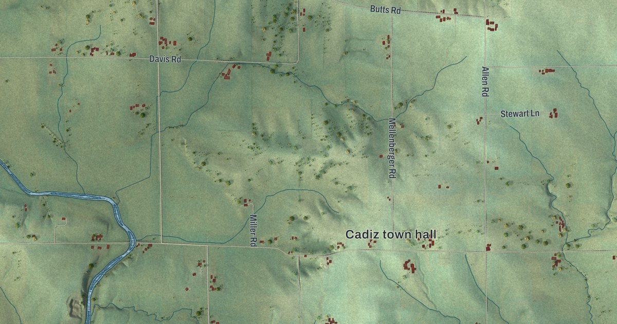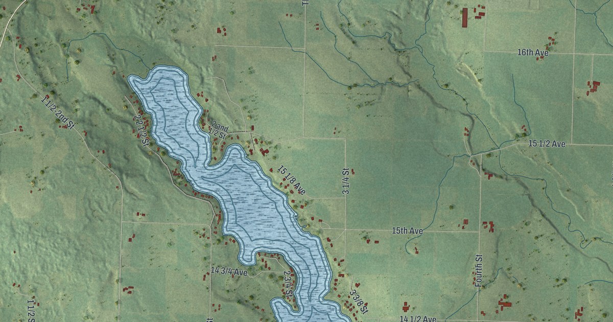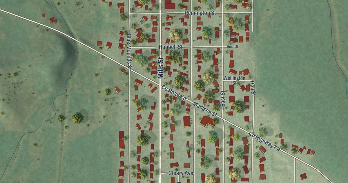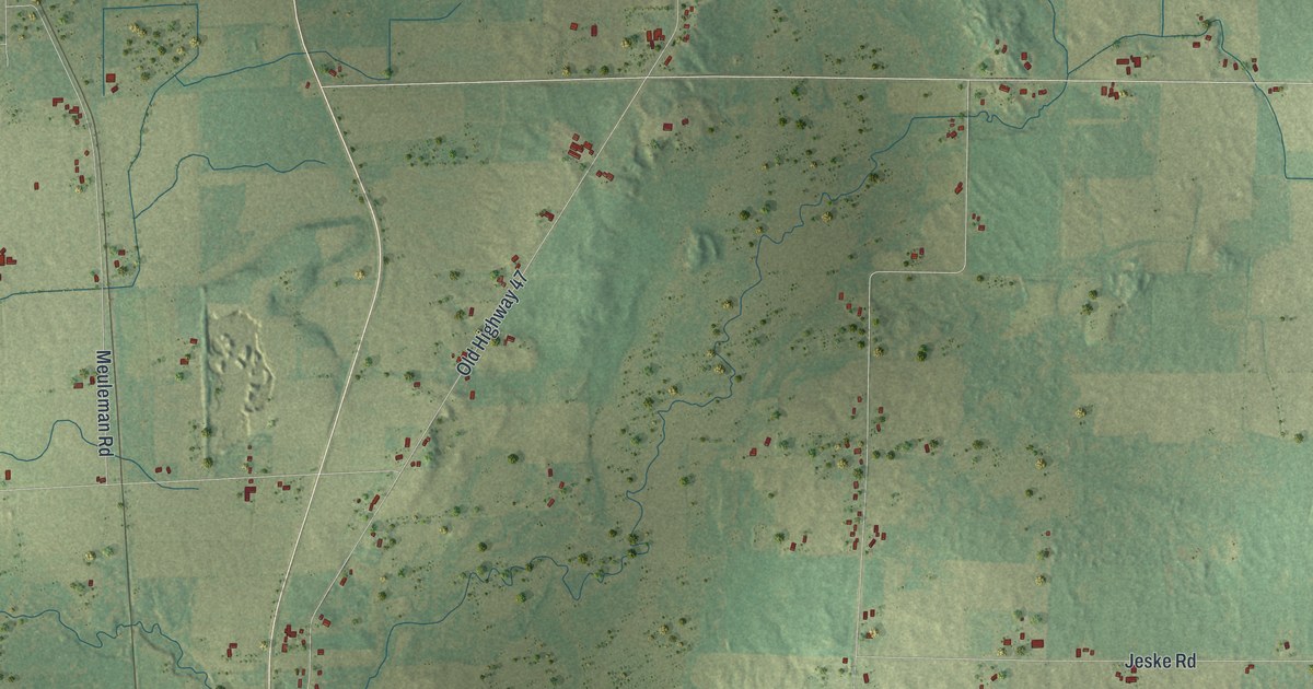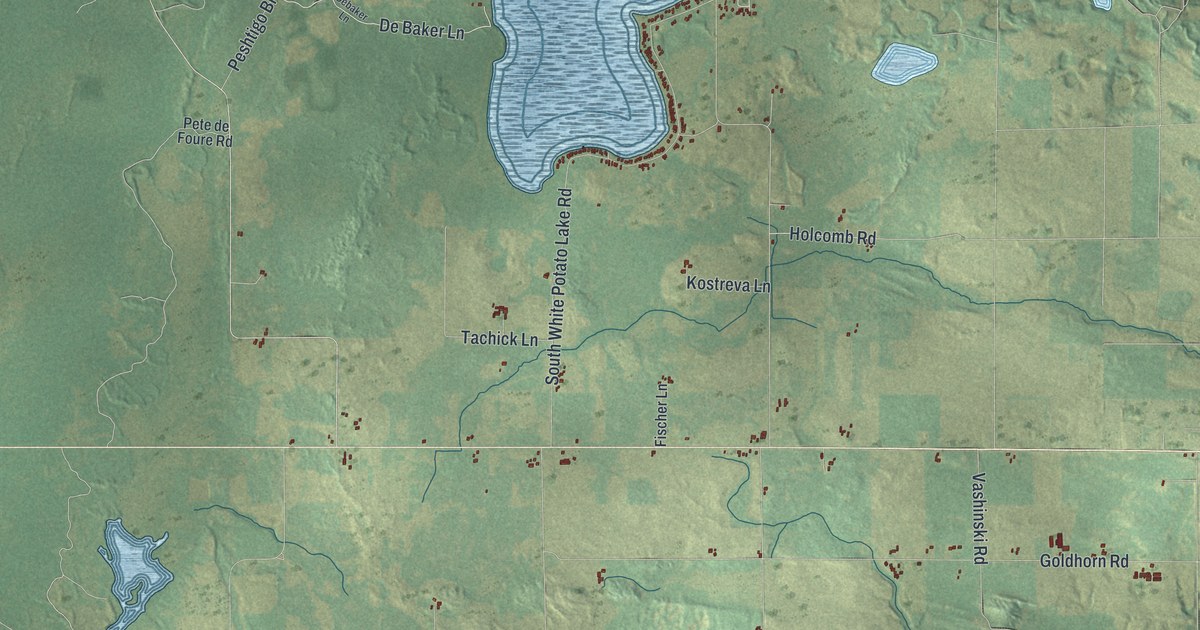
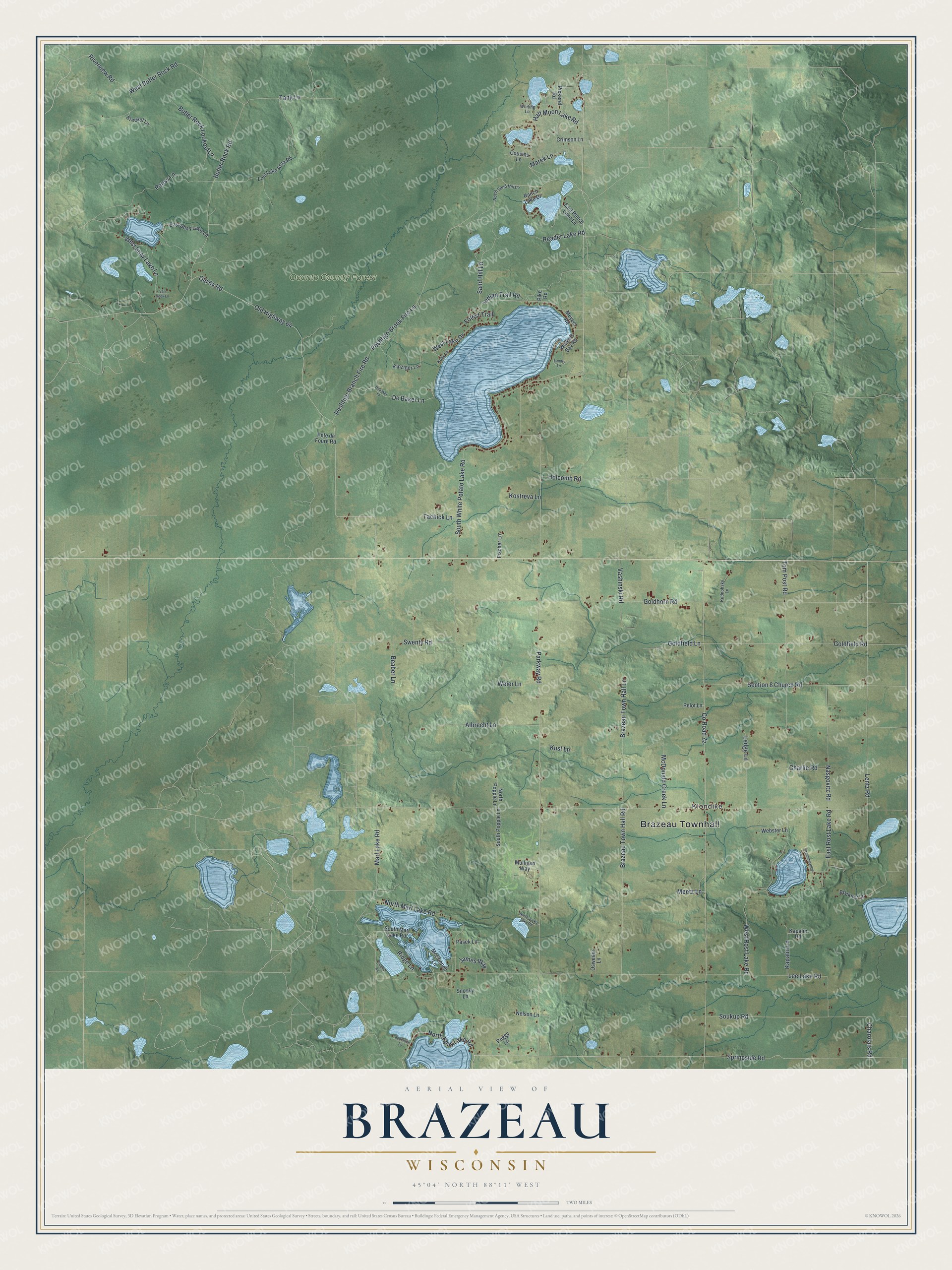
This beautifully detailed map of Brazeau, Wisconsin was created in 2026 using aerial imagery combined with modern topographical, census, street and landmark data. It's a modern aerial view of Brazeau in Oconto County, Wisconsin, that combines modern data with a vintage aesthetic. The roads feature printed names, and if you look closely you can find your exact house accurately shown in its correct location.
Explore an aerial view of Brazeau, Wisconsin
On this map you'll find Brazeau Townhall, Klondike, Oconto County Forest, Parkway Road, Springside Road, North Kelly Lake Road, Peshtigo Brook Fire Lane, Riverview Road, Charolais Road, Peshtigo Branch Fire Road, South White Potato Lake Road, Indian Trail Road, and more. Each red shape is a building, so zoom in on the preview and look for yours.
Brazeau is a town in Oconto County. The Census Bureau counted 1,340 people here in 2020. The map prints the town name in its title panel, with the coordinates below it.
Take a closer look at the Brazeau map
Names on this map
These names are printed on this map.
Places: Brazeau Townhall, Klondike and Oconto County Forest.
Streets and roads: Parkway Road, Springside Road, North Kelly Lake Road, Peshtigo Brook Fire Lane, Riverview Road, Charolais Road, Peshtigo Branch Fire Road, South White Potato Lake Road, Indian Trail Road, Old Highway 64, Old 64 Road, Lee Lake Road.
More street names, A to Z
Albrecht Lane, Anderson Lane, Beaber Lane, Brazeau Town Hall Lane, Brazeau Town Hall Road, Bredael Lane, Brickner Lane, Butler Rock Lookout Lane, Butler Rock Road, Charlie Road, Cherry Road, County Road Zz, Cousins Lane, Crimson Lane, De Baker Lane, Debaker Lane, East Ranch Lake Lane, East Rost Lake Road, East Shay Lake Lane, Fischer Lane, Forest Trail, Goldfield Lane, Goldfield Road, Goldhorn Road, Greenmeadow Lane, Half Moon Lake Road, Holcomb Road, James Way, Kapalin Lane, Kapalin Road, Kinziger Lane, Koby Lane, Kostreva Lane, Kudnohsky Lane, Kust Lane, Landry Lane, Ledge Lane, Lentz Road, Lost Lake Area Road, Marek Lane, Marl Lake Road, McConnell Lane, McDonald Creek Lane, Meetz Lane, Meyers Road, Mulligan Way, Nasgovitz Road, Nelson Lane, North Jocko Lake Road, North Marl Lake Road, North Popple Lane, North Sand Hill Lane, Osweiler Lane, Pansy Lane, Pasek Lane, Peggy Lane, Pelot Lane, Pete de Foure Road, Pickerel Road, Pike Road, Ranch Lake Drive, Reader Lake Road, Ridge Lane, Sand Hill Lane, Section 8 Church Road, Snooky Lane, Soukup Road, South Marl Lake Road, South Popple Lane, Swenty Road, Tachick Lane, Tank Lane, Tom Post Road, Van Beek Lane, Vashinski Road, Walkers Bay Road, Webster Lane, Weier Lane, West Butler Rock Road, West Lake Drive, West Rost Lake Road, West Shay Lake Lane, Whiting Lane.
Created by KNOWOL in 2026. The buildings are small red shapes, the roads carry their printed names, and shaded relief shows the shape of the land. The title panel reads "AERIAL VIEW OF BRAZEAU WISCONSIN" with 45°04' NORTH 88°11' WEST.
It suits a den, a classroom or a front hall, and it makes a gift for anyone with Brazeau roots. Open the preview and find the block you know. See sizes and frames for the Brazeau map.