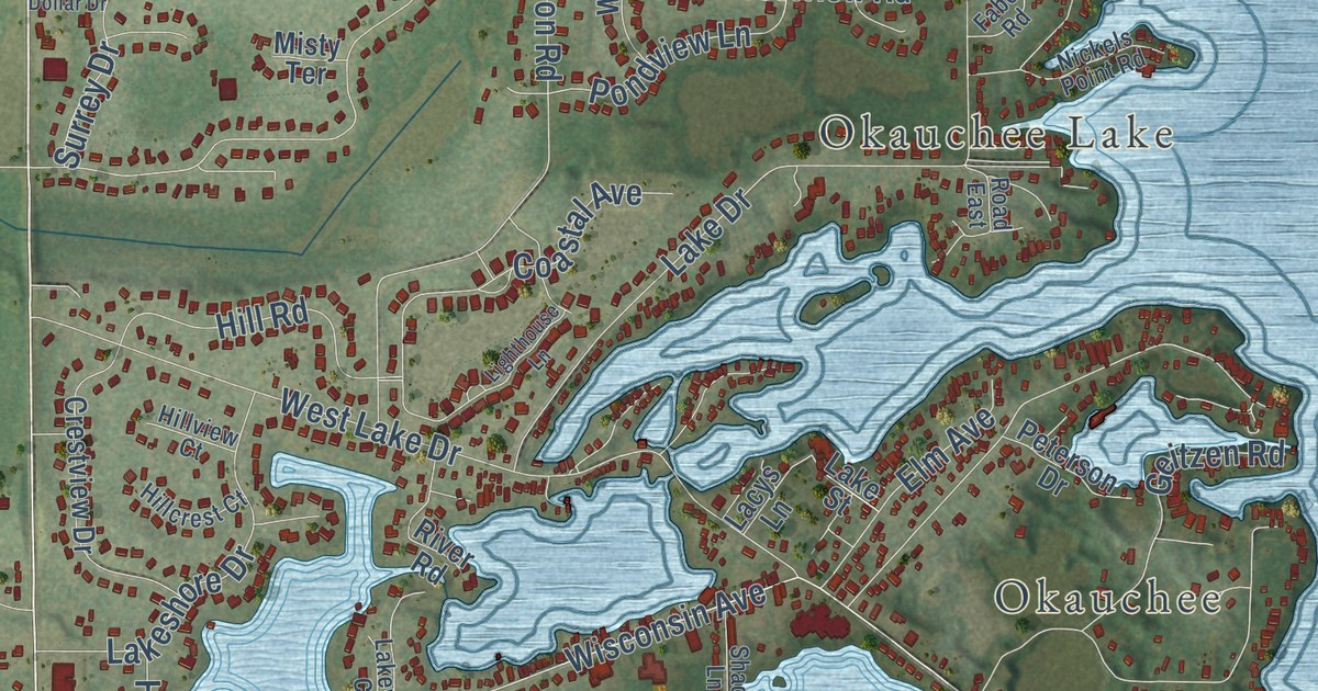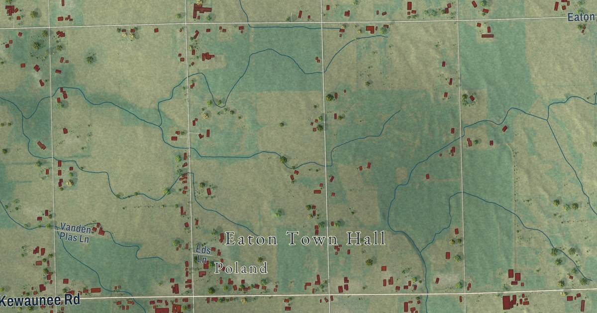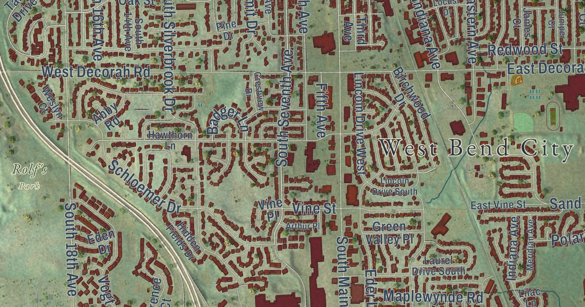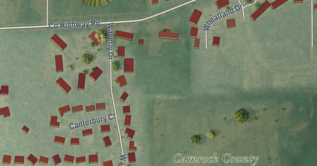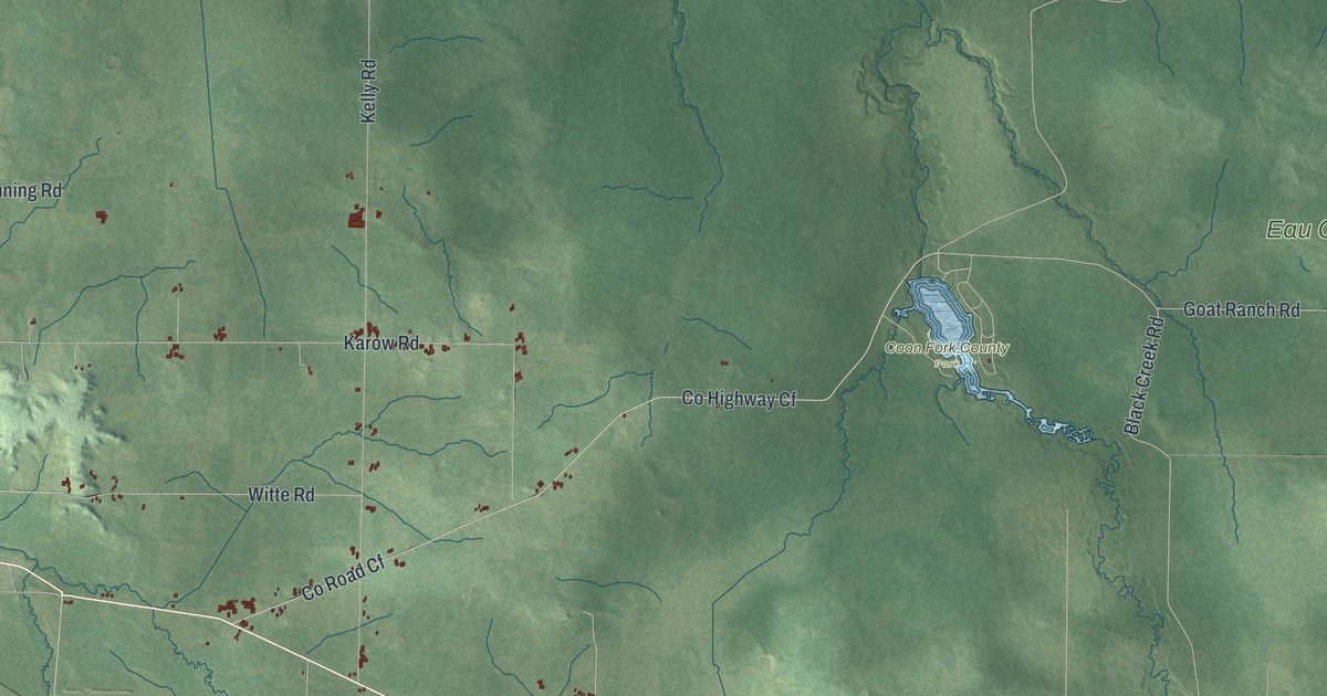
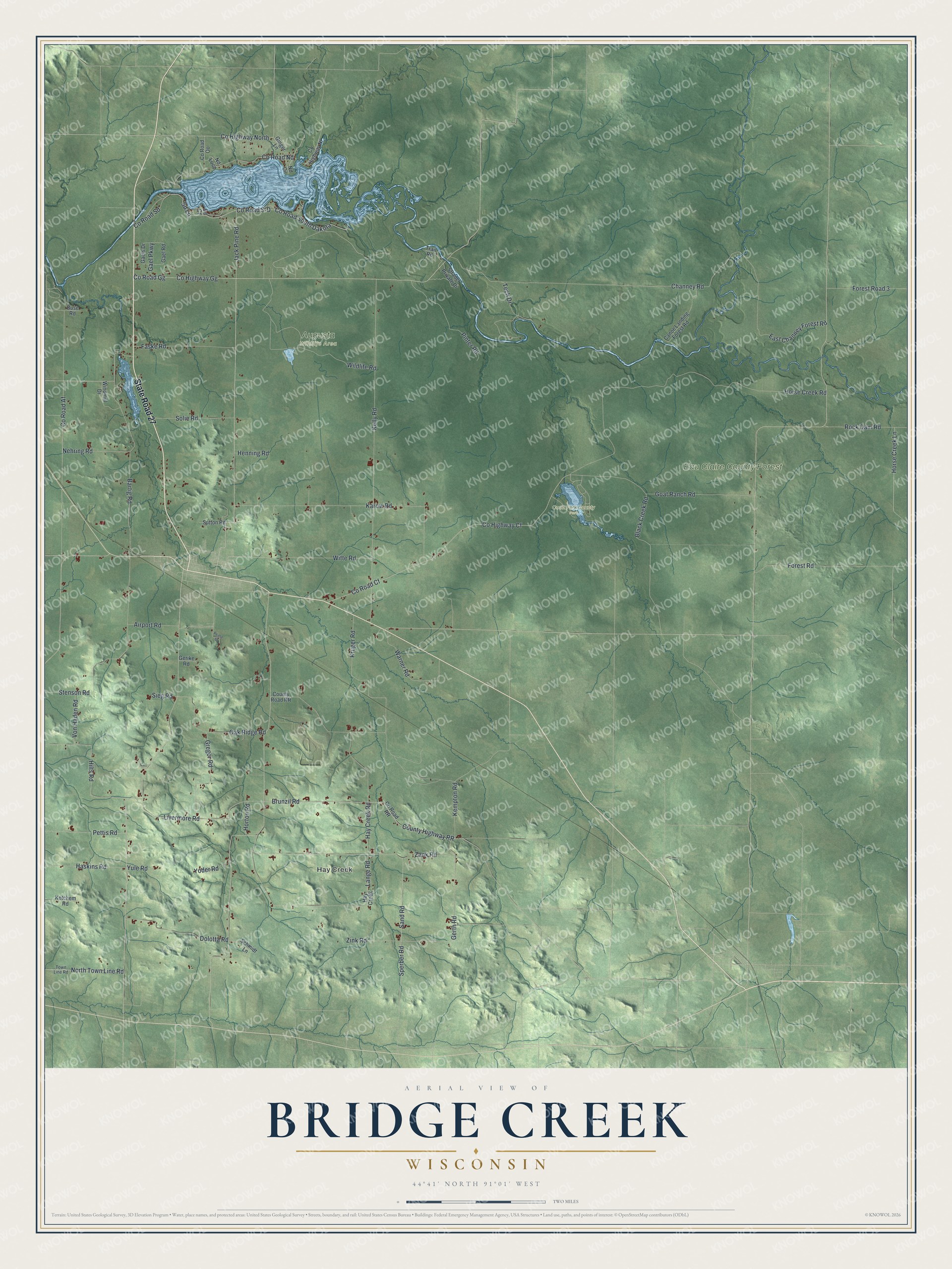
This beautifully detailed map of Bridge Creek, Wisconsin was created in 2026 using aerial imagery combined with modern topographical, census, street and landmark data. It’s a one-of-a-kind view of Bridge Creek that combines accurate data with a vintage aesthetic. The map shows every building in its true location, many of the roads carry their names, and the shaded topographic relief shows the shape of the land.
Explore an aerial view of Bridge Creek, Wisconsin
On the map you’ll find Hay Creek, Augusta Wildlife Area, Coon Fork County Park, and Eau Claire County Forest, along with State Road 27, Livermore Road, Brunzil Road, County Highway RR, Kelly Road, North Town Line Road, Hay Creek Road, Gerth Road, and more. If you look closely you can even find your house accurately drawn in its correct location. Zoom in on the preview to look for yours.
Did you know this piece of Bridge Creek, Wisconsin history?
From the History of Eau Claire County: "In 1877 the towns of Ludington and Fairchild were organized and set off from Bridge Creek. The village of Augusta was organized and set off in 1883."
Take a closer look at the Bridge Creek map
Street and place names on the Bridge Creek, Wisconsin map
These names are printed on the map of Bridge Creek, Wisconsin.
Places: Hay Creek, Augusta Wildlife Area, Coon Fork County Park and Eau Claire County Forest.
Streets and roads: State Road 27, Livermore Road, Brunzil Road, County Highway RR, Kelly Road, North Town Line Road, Hay Creek Road, Gerth Road, County Road Nd, Horse Creek Lane, Bartig Road, Horse Creek Road.
More street names, A to Z
Airport Road, Black Creek Road, Buse Road, Canoe Landing Forest Road, Channey Road, County Highway Cf, County Highway Gg, County Highway Nl, County Highway North, County Road Af, County Road Cf, County Road Gg, County Road Oo, County Road RR, County Road S-D, County Road Sd, County Road South Dakota, Dolotta Road, East Channey Forest Road, Faske Road, Forest Road, Forest Road 3, Gael Parkway, Gael Road, Gaels Drive, Gerike Road, Ginger Lane, Goat Ranch Road, Gregor Road, Haskins Road, Henning Road, Hilts Road, Horton Road, Jack Pine Road, Karow Road, Kempton Road, Ketchem Road, Kruger Road, Lange Road, Nd Circle, Nd Loop, Nehring Road, Oak Ridge Road, Pease Street, Pettis Road, Pinter Road, Rock Dam Road, Sand Road, Schmidt Lane, Sd Court, Sd Lane, Sieg Road, Solie Road, Sperber Road, Stenson Road, Strader Private Drive, Sutton Road, Tech Drive, Town Line Road, Trail Road, Von Haden Road, Warner Road, Wildlife Road, Windmill Drive, Witte Road, Yoder Road, Yule Road, Zank Road, Zink Road.
See the Bridge Creek, Wisconsin map on a wall
The Bridge Creek map as an 18 x 24 inch print in a black frame.

This beautifully detailed map of Bridge Creek makes an attractive addition to your office, library, or den, and it can even be used to teach children the geography and history of the area. It also makes a great gift for someone who left Bridge Creek and still calls it home. When you’re done exploring, click here to get your copy of the Bridge Creek map.