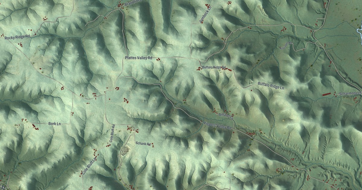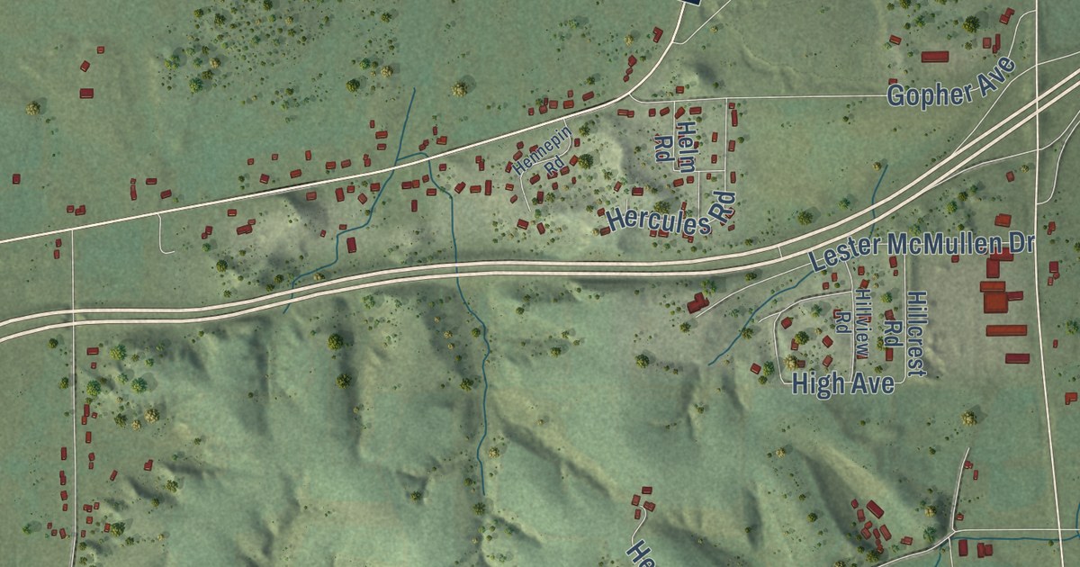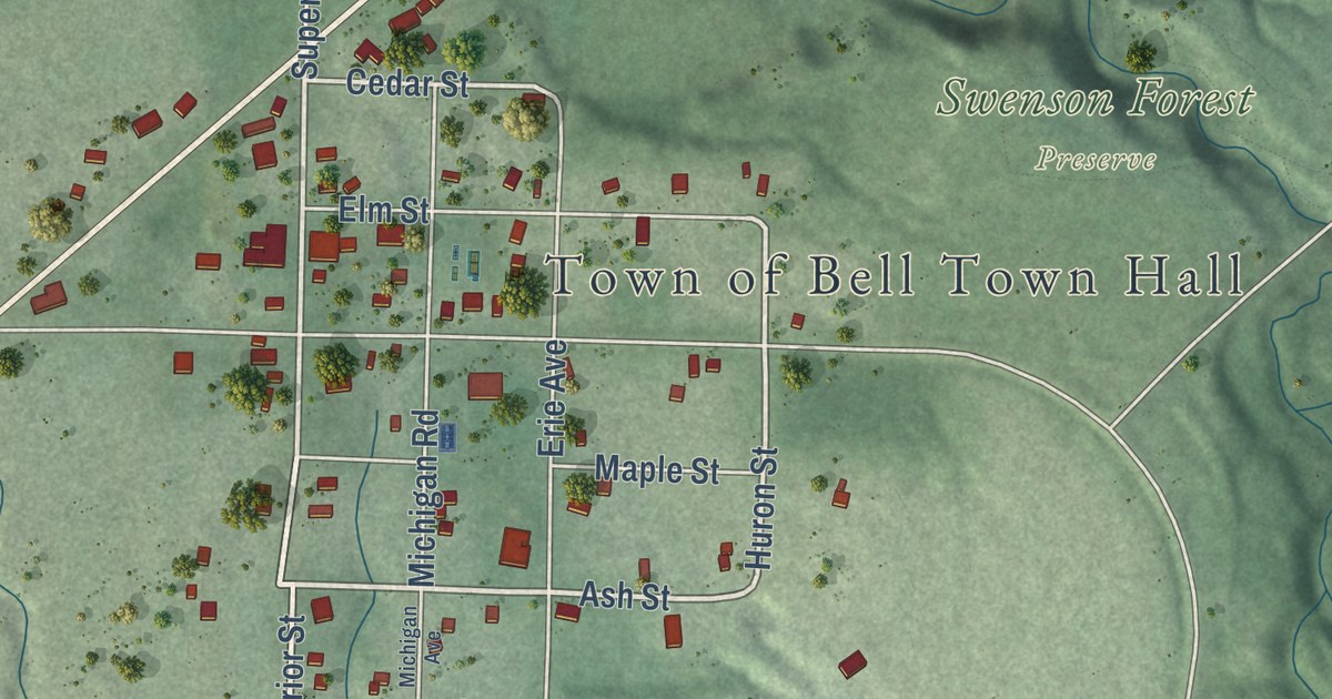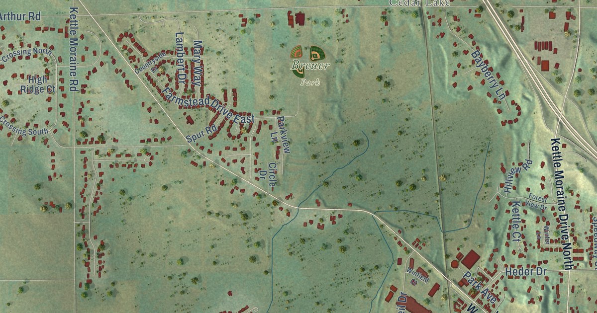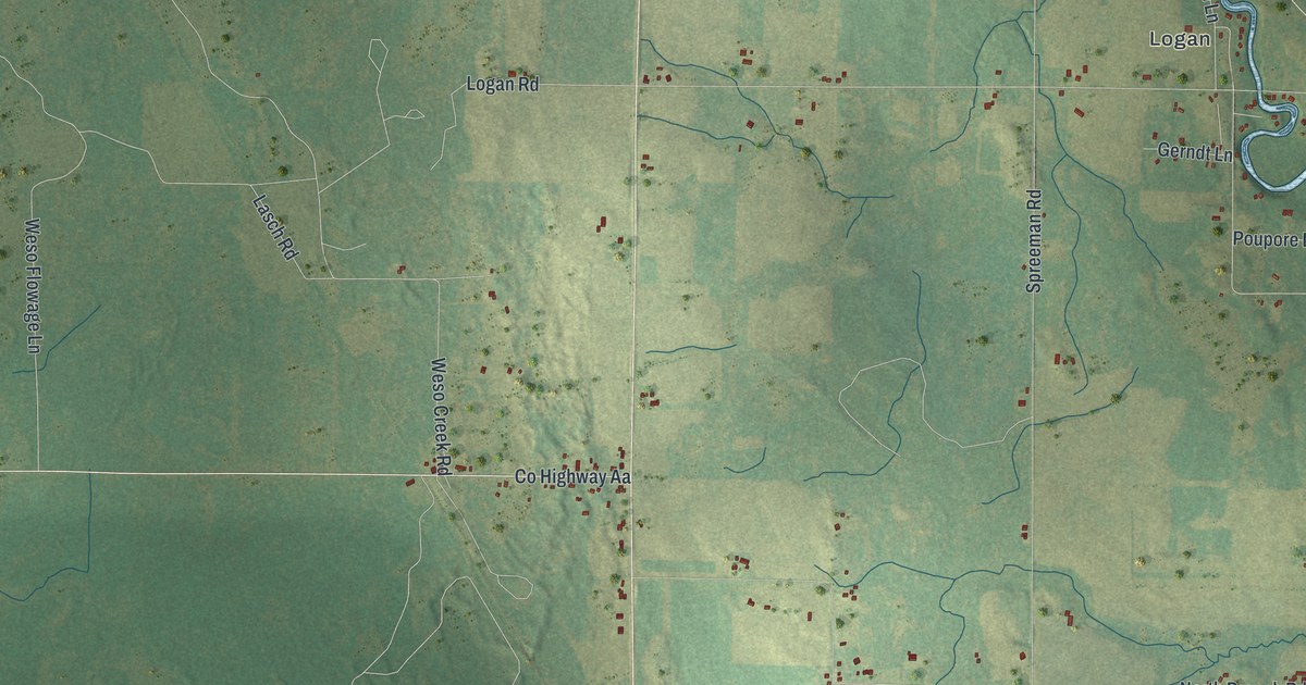
This beautifully detailed map of Breed, Wisconsin was created in 2026 using aerial imagery combined with modern topographical, census, street and landmark data. It’s a one-of-a-kind view of Breed that combines accurate data with a vintage aesthetic. The map shows every building in its true location, many of the roads carry their names, and the shaded topographic relief shows the shape of the land.
Explore an aerial view of Breed, Wisconsin
On the map you’ll find Logan and Oconto County Forest, along with County Highway AA, Izzys Lane, Naukes Lane, River Road, Hill Road, Becker Road, Logan Road, Weso Creek Road, Spreeman Road, North Branch Road, and more. If you look closely you can even find your house accurately drawn in its correct location. Zoom in on the preview to look for yours.
Did you know this piece of Breed, Wisconsin history?
From A History of the Origin of the Place Names: "Breed, Oconto County, Wisconsin, was named by and for George M. Breed, who was the first postmaster of the village."
Take a closer look at the Breed map
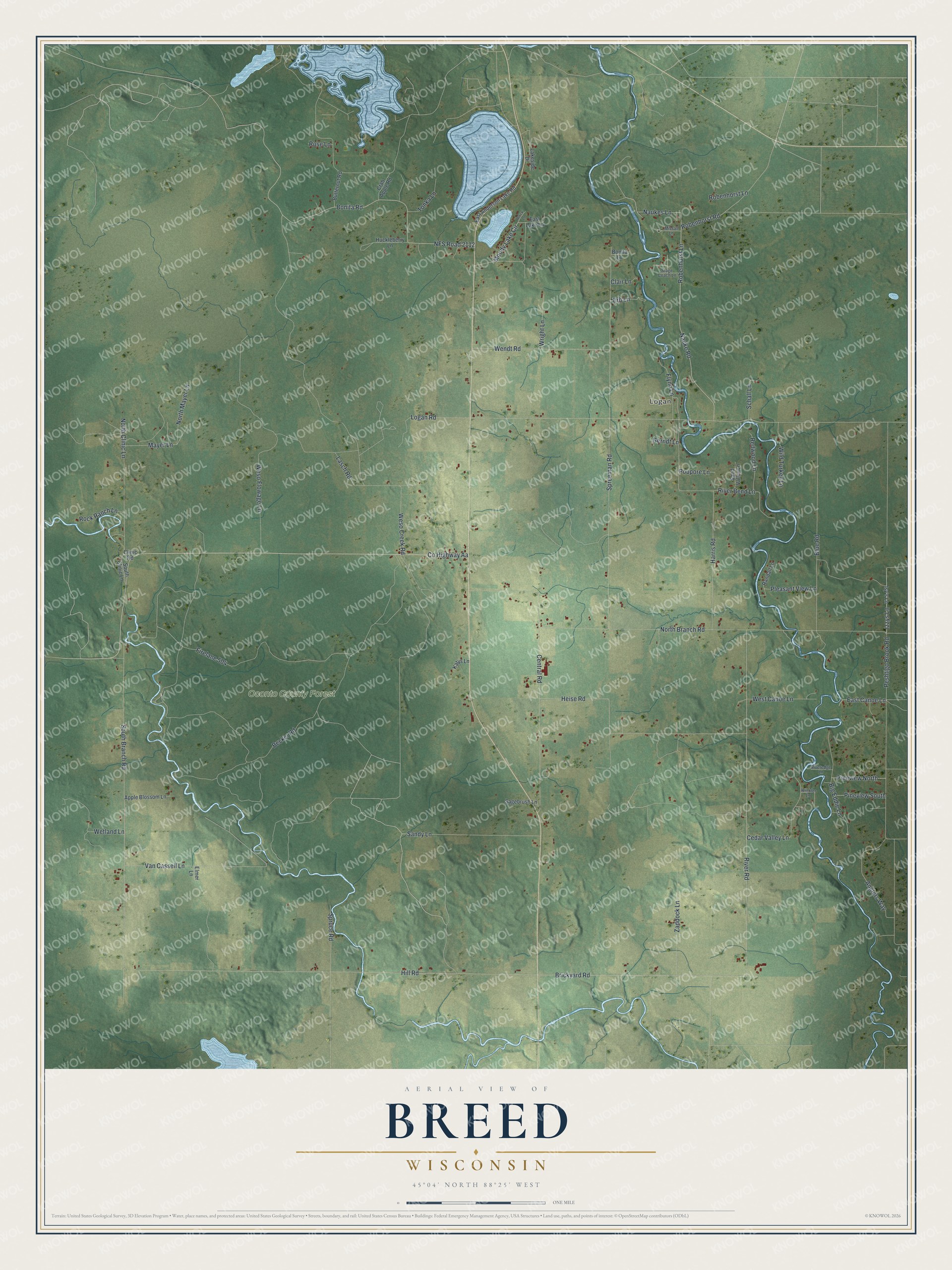
Street and place names on the Breed, Wisconsin map
These names are printed on the map of Breed, Wisconsin.
Places: Logan and Oconto County Forest.
Streets and roads: County Highway Aa, Izzys Lane, Naukes Lane, River Road, Hill Road, Becker Road, Logan Road, Weso Creek Road, Spreeman Road, North Branch Road, South Branch Road, NFS Road 2112.
More street names, A to Z
Anglers Way, Apple Blossom Lane, Arrick Lane, Big Eddie Lane, Blue Road, Bonita Lane, Bonita Road, Brickyard Road, Butternut Road, Cedar Valley Lane, Central Road, Clair Lane, Clinic Road, Crab Apple Road, East Anderson Lake Road, East Canoe Lane, East Lake Lane, Elmer Lane, Erb Lane, Firelane 504, Flynn Lane, Gerndt Lane, Harris Road, Heise Road, Huckleberry Lane, Isy's Lane, Katys Lane, Lakeside Drive, Lasch Road, Mayer Lane, Missall Lane, Moody Lake Circle, Nauke Road, North Clinic Lane, North Mayer Lane, Peshtigo Brook Road, Pineview North, Pineview South, Pleasant View Lane, Poupore Lane, Randall Lane, Redwood Lane, River Bend Lane, Riveredge Lane, Robenhorst Lane, Robenhorst Road, Robenhurst Lane, Rock Ranch Lane, Rose Lane, Sagebrush Lane, Sand Valley Lane, Sandy Lane, Schall Lane, South Clinic Lane, Spruce Road, Stage Coach Lane, Tonka Lane, Van Cassell Lane, Wendt Road, Weso Flowage Lane, West Canoe Lane, Wetland Lane, Wild Turkey Lane, Winkler Lane, Wright Lane, Zaddock Lane.
See the Breed, Wisconsin map on a wall
The Breed map as an 18 x 24 inch print in a black frame.

This beautifully detailed map of Breed makes an attractive addition to your office, library, or den, and it can even be used to teach children the geography and history of the area. It also makes a great gift for anyone with Breed roots. When you’re done exploring, click here to get your copy of the Breed map.