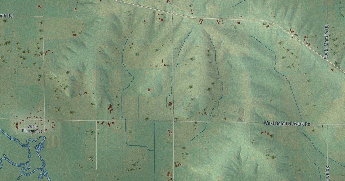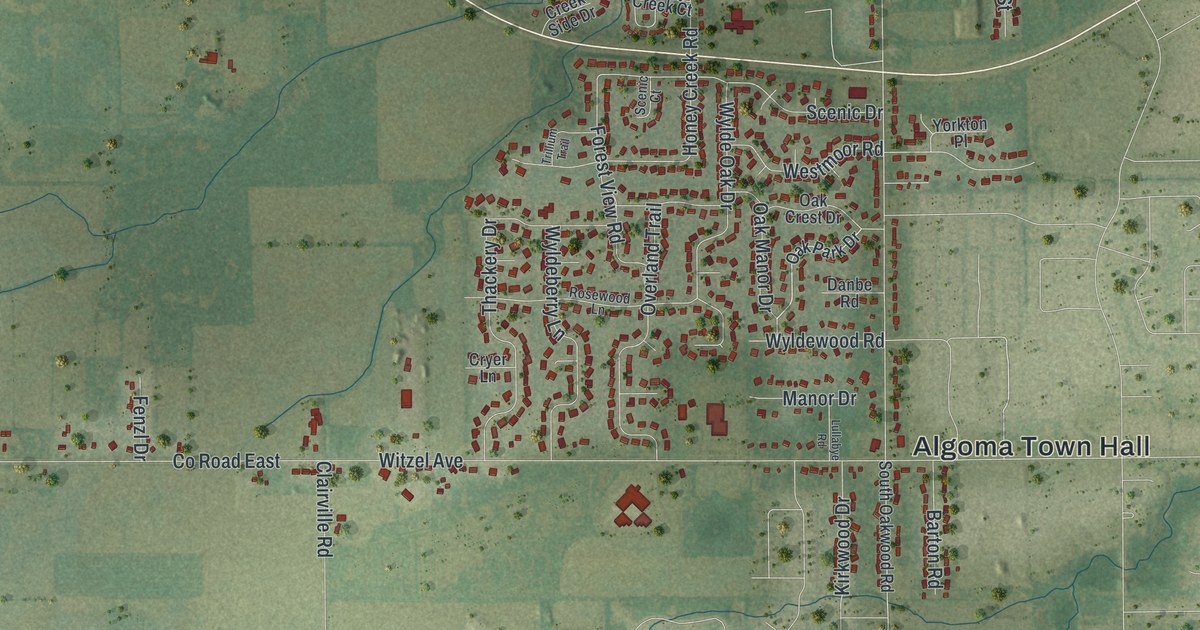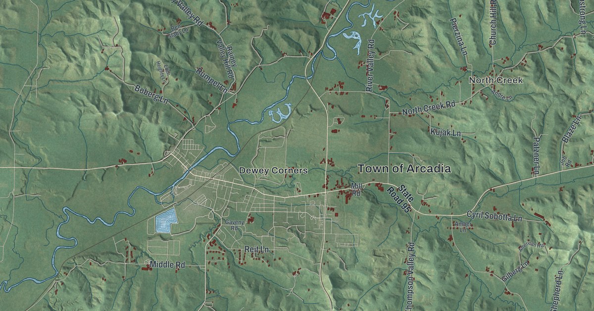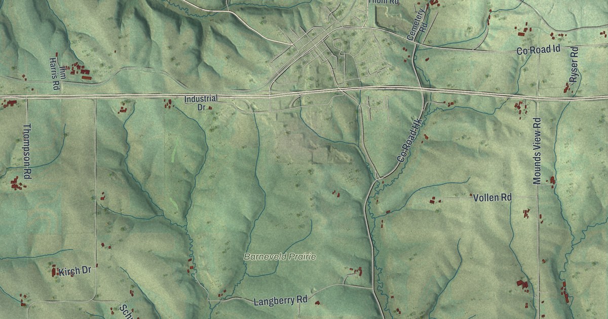
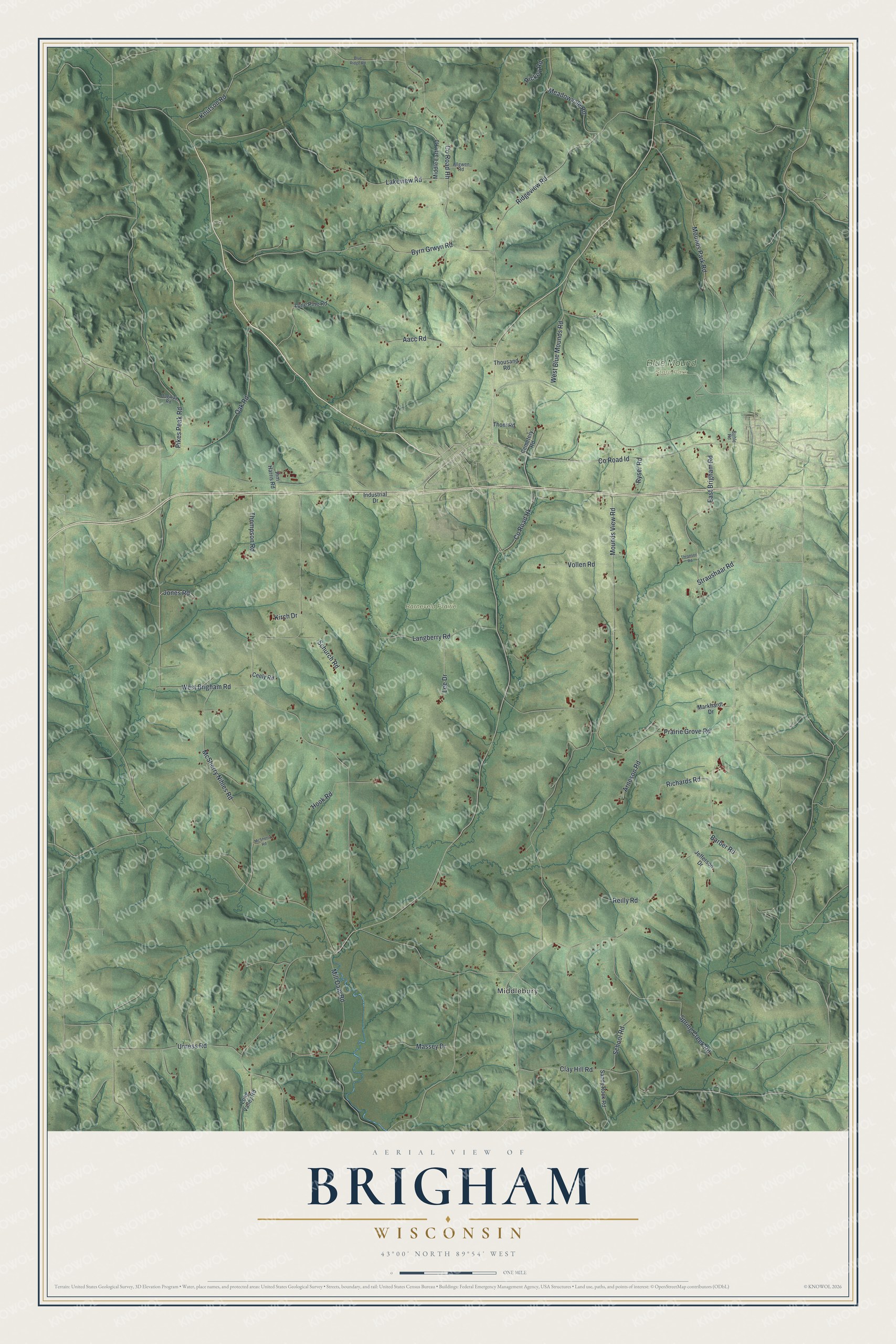
This beautifully detailed map of Brigham, Wisconsin was created in 2026 using aerial imagery combined with modern topographical, census, street and landmark data. It's a modern aerial view of Brigham in Iowa County, Wisconsin, that combines modern data with a vintage aesthetic. The roads feature printed names, and if you look closely you can find your exact house accurately shown in its correct location.
Explore an aerial view of Brigham, Wisconsin
On this map you'll find Middlebury, Barneveld Prairie, Blue Mound State Park, Pikes Peak Road, Co Road Id, Co Road Hk, Mounds View Road, Co Road Hh, Lakeview Road, Prairie Grove Road, Byrn Grwyn Road, Clay Hill Road, and more. Each red shape is a building, so zoom in on the preview and look for yours.
Brigham is a town in Iowa County. The Census Bureau counted 1,037 people here in 2020. The map prints the town name in its title panel, with the coordinates below it.
Take a closer look at the Brigham map
Names on this map
These names are printed on this map.
Places: Middlebury, Barneveld Prairie and Blue Mound State Park.
Streets and roads: Pikes Peak Road, County Road Id, County Road Hk, Mounds View Road, County Road Hh, Lakeview Road, Prairie Grove Road, Byrn Grwyn Road, Clay Hill Road, Mounds Park Road, Ridgeview Road, McSherry Nihles Road.
More street names, A to Z
Aacc Road, Allgwen Road, Arneson Road, Barber Road, Blue Ridge Road, Bohle Road, Ceely Road, Cemetery Road, Dugway Road, East Brigham Road, Hook Road, Ihm Harris Road, Industrial Drive, Jefferson Drive, Jones Road, Kirch Drive, Knutson Road, Langberry Road, Lee Drive, Lone Pine Road, Long Valley Road, Markhardt Drive, Massey Drive, McSherry Road, Meadowvale Road, Middle Earth Road, Mill Dam Road, Oak Road, Reilly Road, Richards Road, Rickey Road, Ryser Road, Sandy Rock Road, School Road, Schurch Road, Spring Creek Road, Straushaar Road, Thompson Road, Thoni Road, Thousand Road, Thronson Road, Urness Road, Vollen Road, West Blue Mounds Road, West Brigham Road.
Created by KNOWOL in 2026. The buildings are small red shapes, the roads carry their printed names, and shaded relief shows the shape of the land. The title panel reads "AERIAL VIEW OF BRIGHAM WISCONSIN" with 43°00' NORTH 89°54' WEST.
It suits a den, a classroom or a front hall, and it makes a gift for anyone with Brigham roots. Open the preview and find the block you know. See sizes and frames for the Brigham map.