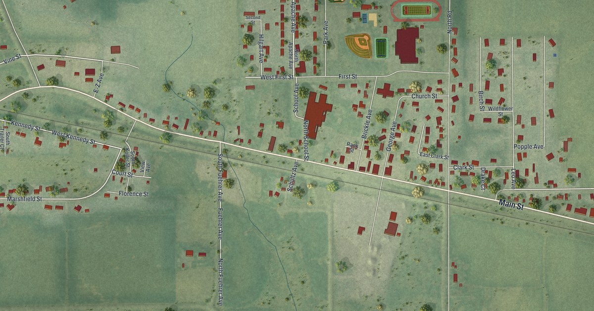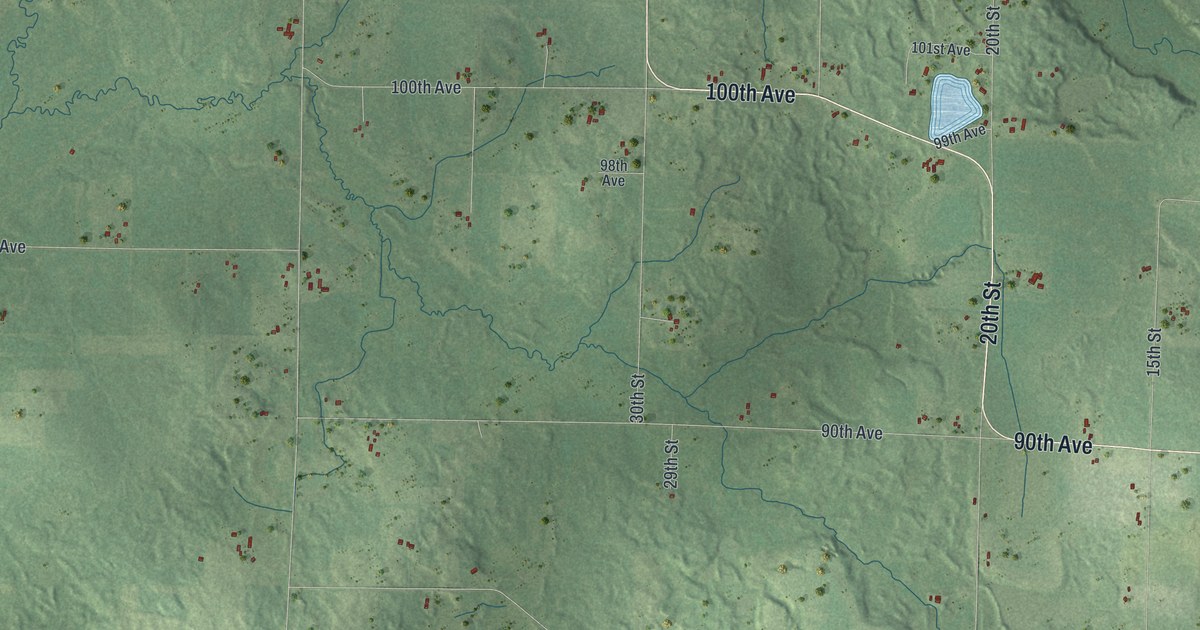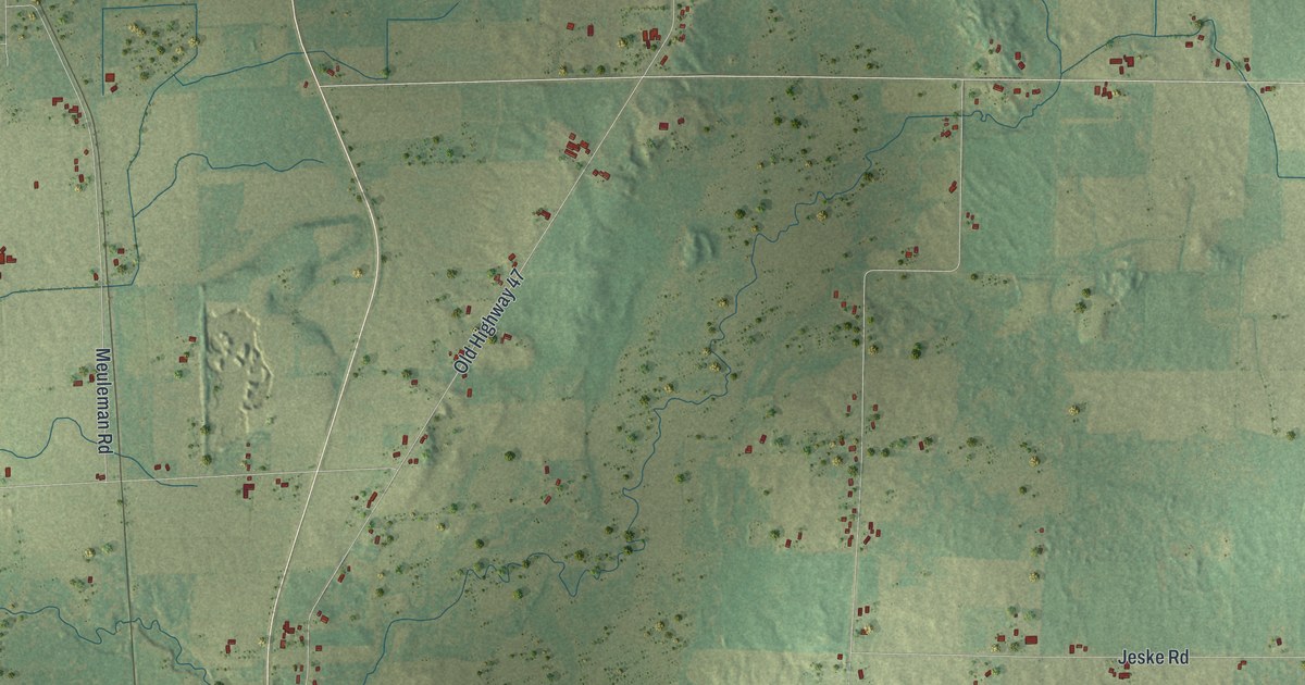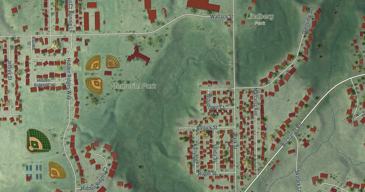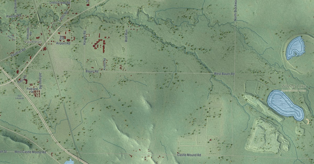
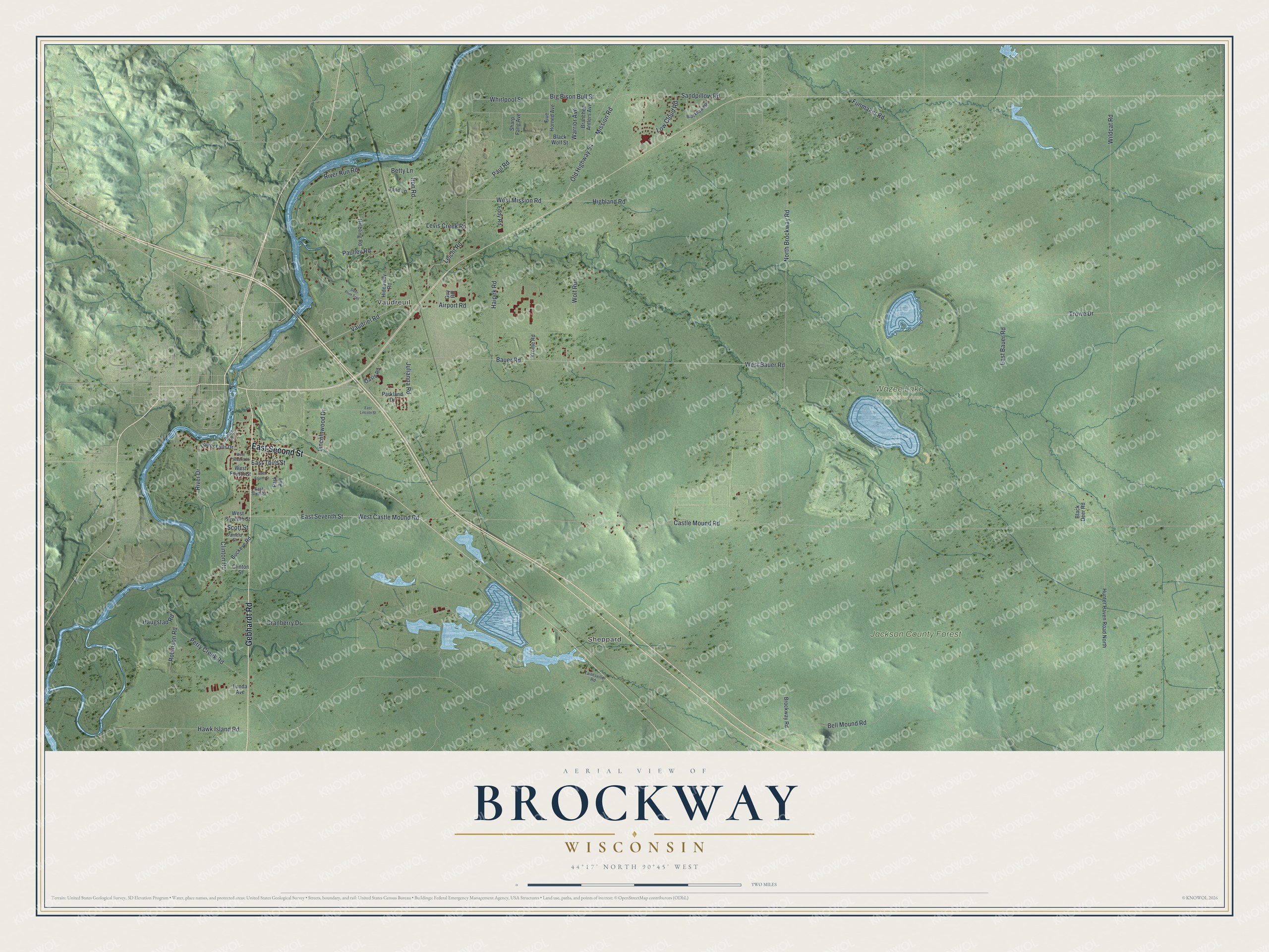
This beautifully detailed map of Brockway, Wisconsin was created in 2026 using aerial imagery combined with modern topographical, census, street and landmark data. It's a modern aerial view of Brockway in Jackson County, Wisconsin, that combines modern data with a vintage aesthetic. The roads feature printed names, and if you look closely you can find your exact house accurately shown in its correct location.
Explore an aerial view of Brockway, Wisconsin
On this map you'll find Vaudreuil, Sheppard, Jackson County Forest, Wazee Lake Recreation Area, Gebhardt Road, East Second Street, Old Highway 54, Vaudriel Road, East Seventh Street, West Castle Mound Road, Leicht Road, Castle Mound Road, and more. Each red shape is a building, so zoom in on the preview and look for yours.
Brockway is a town in Jackson County. The Census Bureau counted 3,035 people here in 2020. The map prints the town name in its title panel, with the coordinates below it.
Take a closer look at the Brockway map
Names on this map
These names are printed on this map.
Places: Vaudreuil, Sheppard, Jackson County Forest and Wazee Lake Recreation Area.
Streets and roads: Gebhardt Road, East Second Street, Old Highway 54, Vaudriel Road, East Seventh Street, West Castle Mound Road, Leicht Road, Castle Mound Road, West Bauer Road, Bell Mound Road, West Mission Road, Trowe Drive.
More street names, A to Z
Airport Road, Bauer Road, Betty Lane, Big Bison Bull Street, Black Deer Road, Blackhawk Road, Black Wolf Street, Branched Antlers Avenue, Brockway Road, Buckeye Road, Clinton Road, Clinton Street, Cranberry Drive, Deer Print Trail, East Bauer Road, East Fourth Street, East Lincoln Street, East Sixth Street, East Third Street, Eddy Road, Five Horned Avenue, Funmaker Road, Guy Road, Haipek Road, Haugstad Road, Hawk Island Road, Helbling Road, Hideaway Road, Highland Road, Hunter Haven Road North, Iron Road, James Street, Jane Lane, Julianna Road, Krome Road, Levis Creek Road, Lincolnwood Drive, Low Cloud Road, Lower Falls Drive, Lunda Avenue, Mission Road, North Brockway Road, Oasis Road, Pamela Street, Park Avenue, Parkland Drive, Paulley Road, Paul Road, Perry Creek Road, River Drive, River Run Road, Robinson Road, Sandpillow Road, Scott Street, Sharp Fang Avenue, Taintsville Road, Warrior Avenue, West Fourth Street, West Second Street, West Seventh Street, Whirlpool Street, Wildcat Road, Wolf Run.
Created by KNOWOL in 2026. The buildings are small red shapes, the roads carry their printed names, and shaded relief shows the shape of the land. The title panel reads "AERIAL VIEW OF BROCKWAY WISCONSIN" with 44°17' NORTH 90°45' WEST.
Hang it in the hallway, the office or the cabin, or give it to someone who left Brockway and still calls it home. Open the preview and look for a street you know. See sizes and frames for the Brockway map.