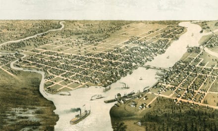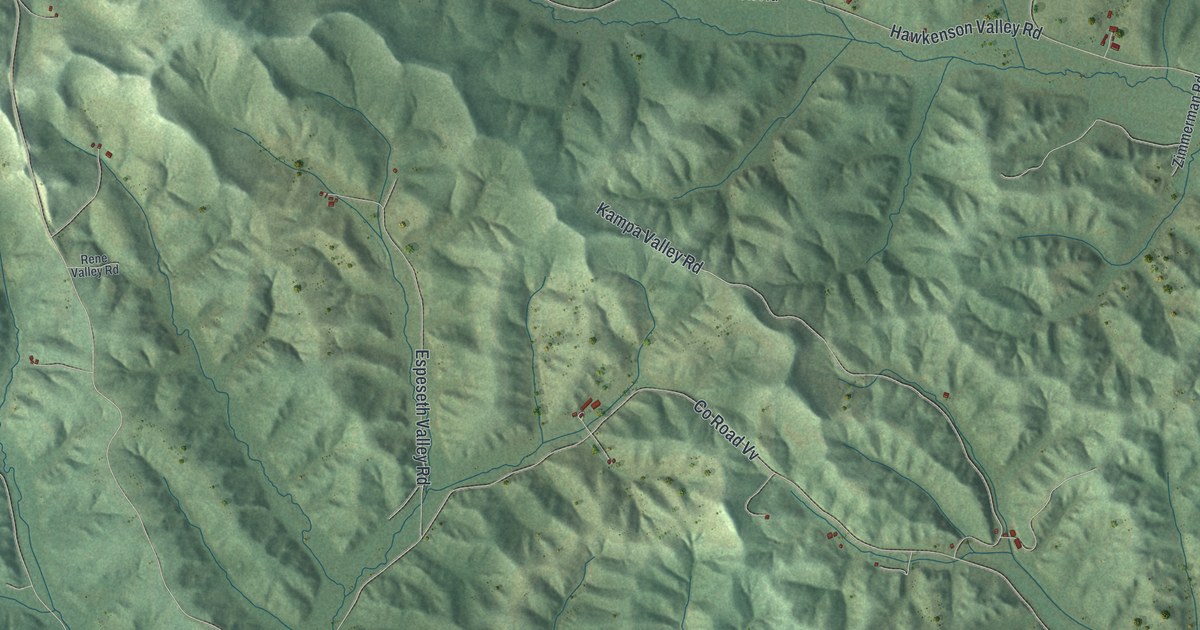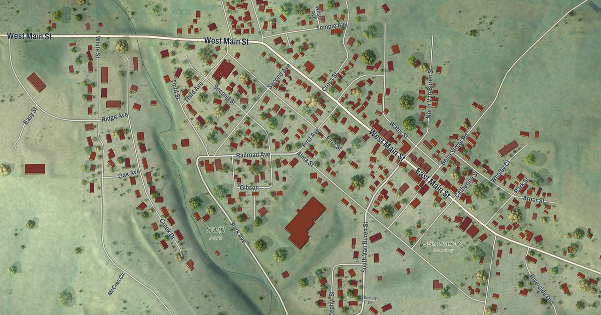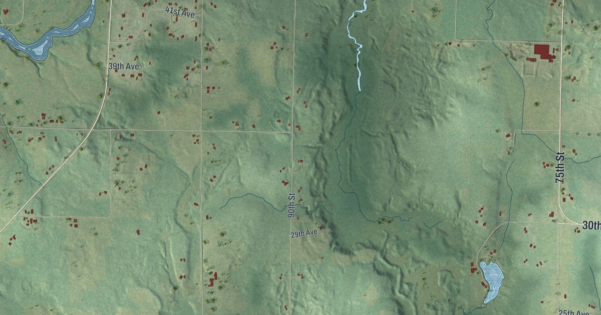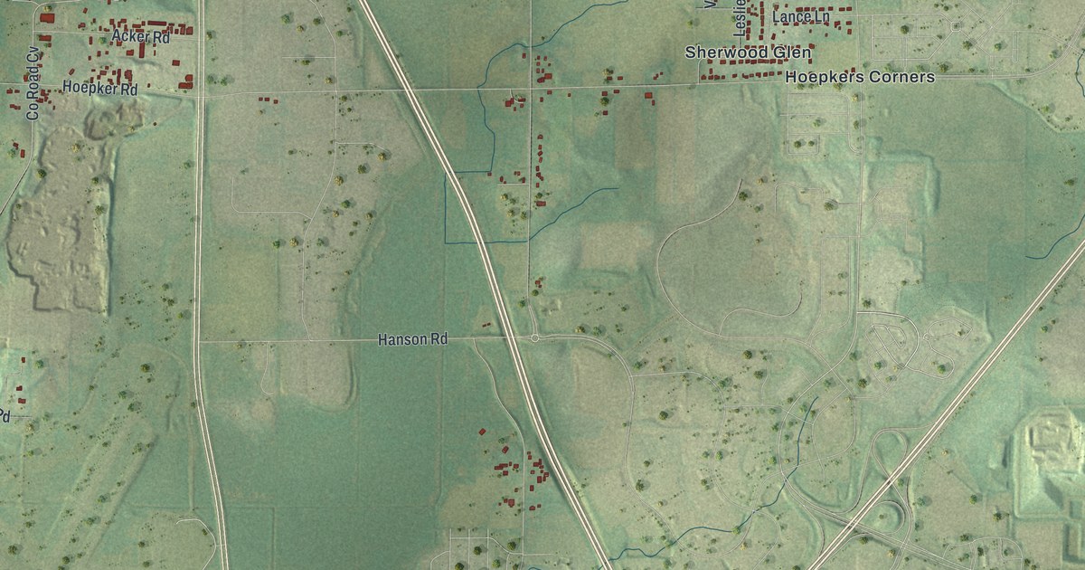
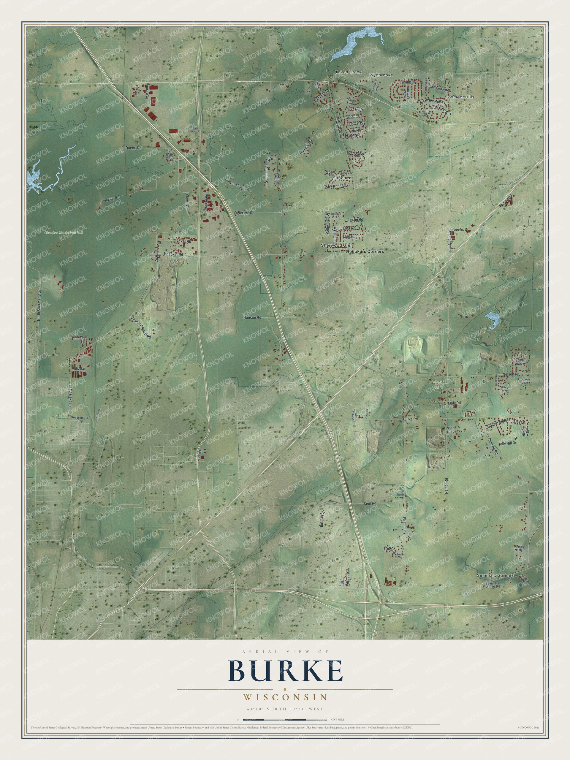
This beautifully detailed map of Burke, Wisconsin was created in 2026 using aerial imagery combined with modern topographical, census, street and landmark data. It's a modern aerial view of Burke in Dane County, Wisconsin, that combines modern data with a vintage aesthetic. The roads feature printed names, and if you look closely you can find your exact house accurately shown in its correct location.
Explore an aerial view of Burke, Wisconsin
On this map you'll find Seminary Springs, Foxmoor Hills, Token Creek, Burke Park, Cherokee Marsh North Unit, Hoepkers Corners, Sherwood Glen, Sunburst, Wynbrooke, Packers Avenue, Co Road Cv, Reiner Road, and more. Each red shape is a building, so zoom in on the preview and look for yours.
Burke is a town in Dane County. The Census Bureau counted 3,265 people here in 2020. The map prints the town name in its title panel, with the coordinates below it.
Take a closer look at the Burke map
Names on this map
These names are printed on this map.
Places: Seminary Springs, Foxmoor Hills, Token Creek, Burke Park, Cherokee Marsh North Unit, Hoepkers Corners, Sherwood Glen, Sunburst and Wynbrooke.
Streets and roads: Packers Avenue, County Road Cv, Reiner Road, Portage Road, Felland Road, Burke Road, Hoepker Road, Rattman Road, Nelson Road, Thorson Road, Token Creek Lane, Daentl Road.
More street names, A to Z
Acker Road, Anderson Road, Arrowhead Trail, Audrey's Pass, Breeze Drive, Bridle Way, Broken Bow Road, Brooks Drive, Buckley Road, Bull Run Drive, Bultman Road, Canter Drive, City View Drive, Congress Avenue, Conservancy Estates Lane, Daentil Road, Danielle Road, Dennis Drive, Dovetail Drive, Eagle Crest Drive, East Metro Drive, Elna Road, Festival Way, Forest Oak Drive, Fox Run, Gaston Road, Government Road, Grandier Road, Haase Road, Hanson Road, Heatherstone Ridge, Highridge Road, Holly Hill Drive, International Lane, Irving Drive, Lance Lane, Leo Circle, Leslie Lane, Leslie Road, Lien Road, Maly Road, Mary Ida Drive, McCoy Road, Messerschmidt Road, Nature Drive, North Sherman Avenue, Old Fox Run, Park Knoll Drive, Pepsi Way, Rebel Drive, Rising Sun Road, Rostad Drive, Sandy Lee Lane, Seminary Springs Road, Shiloh Road, Sommer Valley Circle, Steven Drive, Suchomel Road, Summer Valley Circle, Sunburst Road, Sunhill Drive, Sunnyburke Drive, Swansee Ridge, Templeton Terrace, Token Road, Valleyhigh Drive, Vernon Road, Whytecliff Way, Wynter Lane.
Created by KNOWOL in 2026. The buildings are small red shapes, the roads carry their printed names, and shaded relief shows the shape of the land. The title panel reads "AERIAL VIEW OF BURKE WISCONSIN" with 43°10' NORTH 89°21' WEST.
It suits a den, a classroom or a front hall, and it makes a gift for anyone with Burke roots. Open the preview and find the block you know. See sizes and frames for the Burke map.