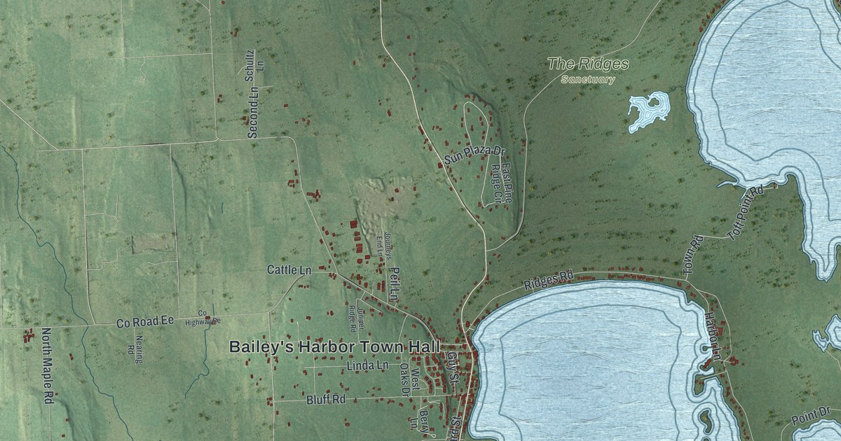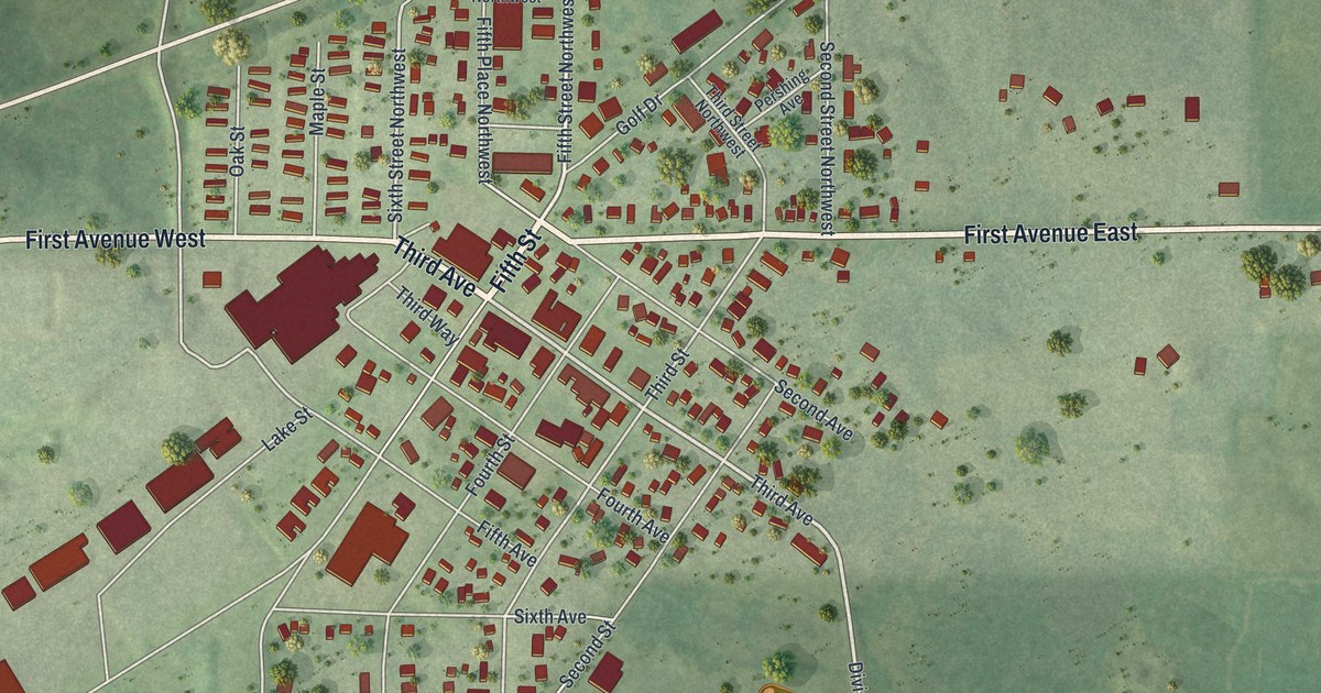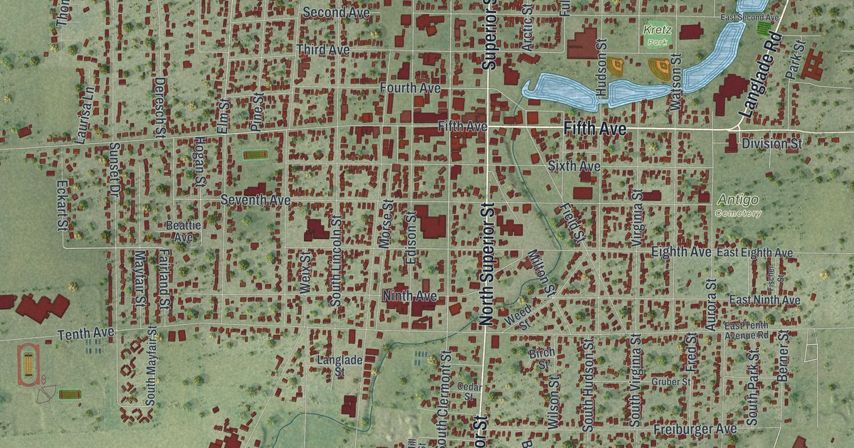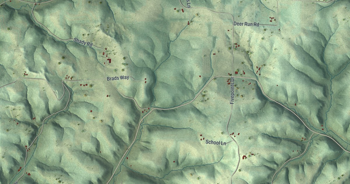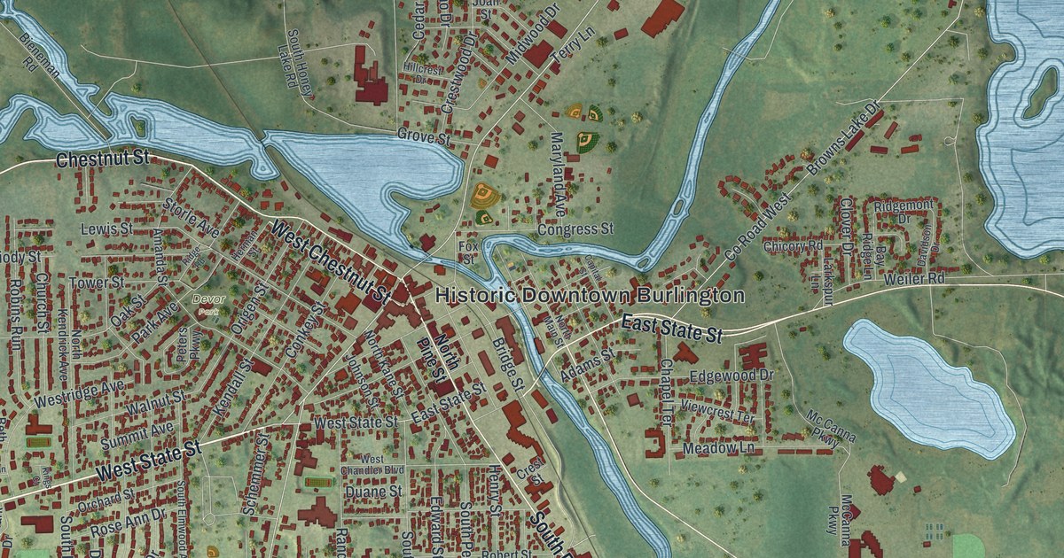
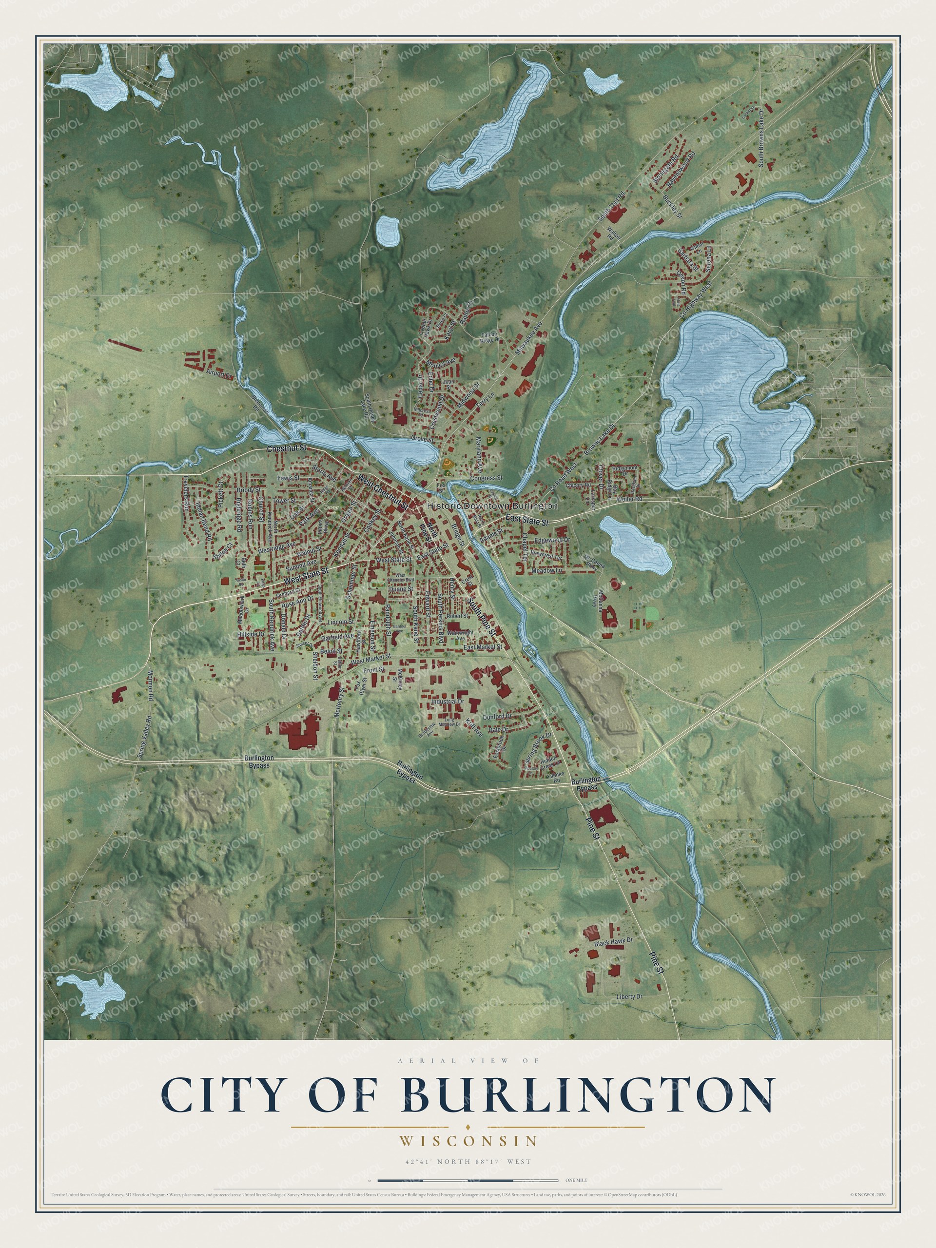
This beautifully detailed map of Burlington, Wisconsin was created in 2026 using aerial imagery combined with modern topographical, census, street and landmark data. It's a modern aerial view of Burlington in Racine County, Wisconsin, that combines modern data with a vintage aesthetic. The roads feature printed names, and if you look closely you can find your exact house accurately shown in its correct location.
Explore an aerial view of Burlington, Wisconsin
On this map you'll find Historic Downtown Burlington, Devor Park, West State Street, Chestnut Street, West Chestnut Street, South Pine Street, East State Street, Pine Street, Milwaukee Avenue, Spring Valley Road, Mormon Road, Sheldon Street, and more. Each red shape is a building, so zoom in on the preview and look for yours.
Burlington is a city in Racine County. The Census Bureau counted 11,047 people here in 2020. The map prints the town name in its title panel, with the coordinates below it.
Take a closer look at the Burlington map
Names on this map
These names are printed on this map.
Places: Historic Downtown Burlington and Devor Park.
Streets and roads: West State Street, Chestnut Street, West Chestnut Street, South Pine Street, East State Street, Pine Street, Milwaukee Avenue, Spring Valley Road, Mormon Road, Sheldon Street, Karyl Street, Browns Lake Drive.
More street names, A to Z
Adams Street, Airport Drive, Amanda Street, Austin Road, Barbara Street, Bay Ridge Lane, Beloit Street, Beth Court, Bieneman Road, Black Hawk Drive, Bridge Street, Briody Street, Brookview Avenue, Buckley Street, Burlington Bypass, Buteo Court, Capital Street, Cedar Drive, Chapel Terrace, Chicory Road, Church Street, Clover Drive, Congress Street, Conkey Street, Cooper Hawk Drive, County Highway West, County Road West, Crest Street, Crestwood Drive, Dale Drive, Dardis Drive, Davidson Drive, Devon Road, Donald Drive, Duane Street, Dunford Drive, Dutton Street, Eastbrook Drive, East Market Street, Echo Drive, Edgewood Drive, Edward Street, Emerson Street, Falcon Ridge Drive, Fox River Street, Fox Street, Front Street, Gardner Avenue, Garfield Avenue, Grove Street, Hawthorn Street, Henry Street, Herman Street, Hidden Creek Lane, Highridge Road, Hillcrest Drive, Hillside Drive, Indian Bend Road, Industrial Drive, Isabel Lane, Joan Street, Johnson Street, Kendall Street, Kings Court, Krift Avenue, Larkspur Lane, Lewis Street, Liberty Drive, Lincoln Street, Long Meadow Drive, Maryland Avenue, Mc Canna Parkway, McCanna Parkway, McHenry Street, McKinley Street, Meadow Lane, Meadowlark Drive, Midwood Drive, Monica Avenue, North Kane Street, North Kendrick Avenue, North Main Street, North Pine Street, Oak Street, Olivia Trail, Orchard Street, Origen Street, Park Avenue, Peters Parkway, Pickett Court, Randolph Street, Raptor Court, Ravenswood Road, Ridgemont Drive, Ridge Road, Robert Street, Robins Run, Rose Ann Drive, Schemmer Street, Serena Lane, Shiloh Court, South Browns Lake Drive, South Elmwood Avenue, South Honey Lake Road, South Kane Street, South Kendrick Avenue, South Perkins Boulevard, South Teut Road, Spring Brook Drive, Stonegate Road, Storle Avenue, Summit Avenue, Sunset Drive, Terry Lane, Timberlane, Tower Street, Travelers Run, Tributary Lane, Viewcrest Terrace, Wainwright Avenue, Walnut Street, Walton Road, Weiler Road, West Chandler Boulevard, West Market Street, Westridge Avenue, Yahnke Road.
Created by KNOWOL in 2026. The buildings are small red shapes, the roads carry their printed names, and shaded relief shows the shape of the land. The title panel reads "AERIAL VIEW OF CITY OF BURLINGTON WISCONSIN" with 42°41' NORTH 88°17' WEST.
It looks right in a kitchen, an office or a den, and it's a gift for anyone who grew up in Burlington or moved away. Open the preview and find your street. See sizes and frames for the Burlington map.