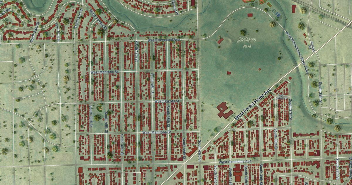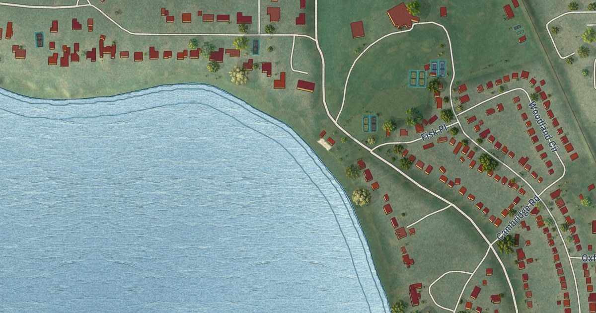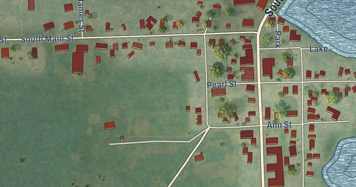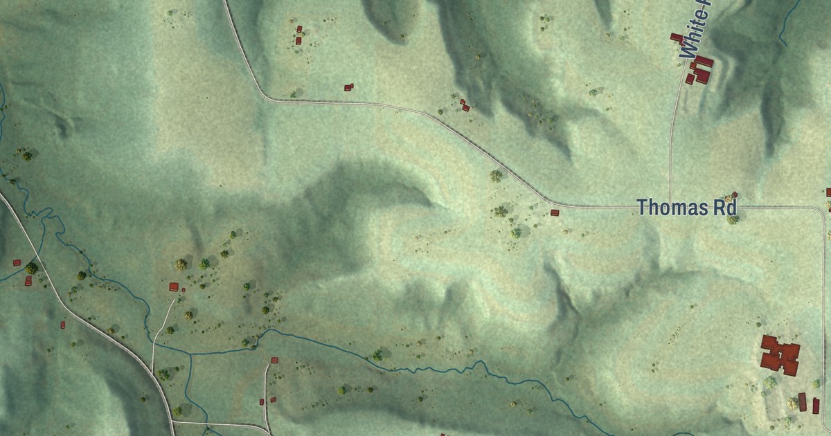
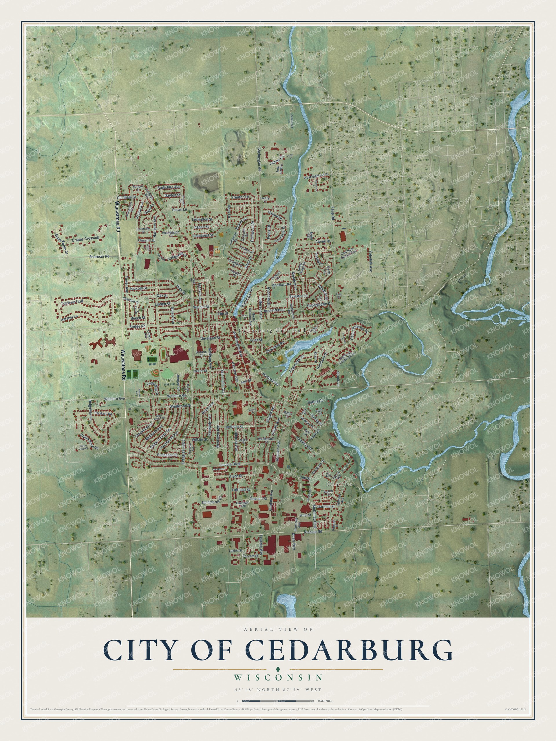
This beautifully detailed map of Cedarburg, Wisconsin was created in 2026 using aerial imagery combined with modern topographical, census, street and landmark data. It’s a one-of-a-kind view of Cedarburg that combines accurate data with a vintage aesthetic. The map shows every building in its true location, many of the roads carry their names, and the shaded topographic relief shows the shape of the land.
Explore an aerial view of Cedarburg, Wisconsin
On the map you’ll find Cedarburg City Hall, Centennial Park, Fireman’s Park, Immanuel Cemetery, and Hamilton, along with Wauwatosa Road, Washington Avenue, Topview Trail, Oxford Drive, Chestnut Street, Meadow Lane, Sheboygan Road, and more. If you look closely you can even find your house accurately drawn in its correct location. Zoom in on the preview to look for yours.
Did you know this piece of Cedarburg, Wisconsin history?
From the Historical Marker Database: "Five stories high and massive in scale, Cedarburg Mill was built by Burchard Weber who constructed the building in large blocks of gray limestone."
Take a closer look at the Cedarburg map
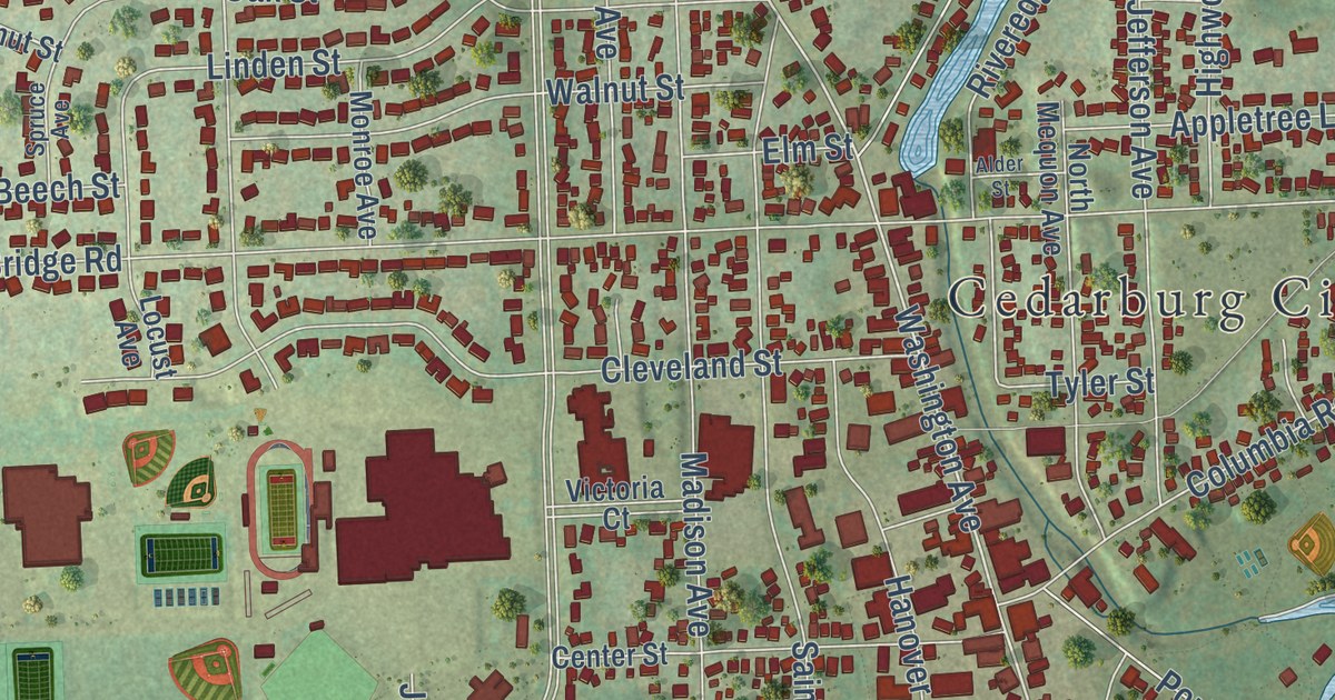
Street and place names on the Cedarburg, Wisconsin map
These names are printed on the map of Cedarburg, Wisconsin.
Places: Cedarburg City Hall, Fireman's Park and Hamilton.
Streets and roads: Wauwatosa Road, Topview Trail, Taft Street, Washington Avenue, Oxford Drive, Sheboygan Road, Castle Court, Dayton Street, Evergreen Boulevard, Lincoln Boulevard, Bridge Road, Madison Avenue.
More street names, A to Z
Adams Street, Alder Street, Alpine Drive, Alyce Street, Appletree Lane, Arbor Drive, Aspen Street, Balfour Street, Beech Street, Berkshire Avenue, Birch Street, Bobolink Avenue, Brenton Lane, Bristol Lane, Brookdale Drive, Buchanan Street, Burr Lane, Bywater Lane, Candieland Lane, Cardinal Avenue, Carriage Trce, Cedar Court, Cedar Pointe Avenue, Cedar Reserve Circle, Cedar Ridge Drive, Center Street, Chatham Street, Chestnut Street, Churchill Street, Cider Mill Court, Cleveland Street, Columbia Road, Commerce Court, Concord Street, Coventry Street, Covington Square East, Cranes Crossing, Creekview Court, Crescent Drive, Derby Lane, Doerr Way, Dorchester Drive, Drury Lane, Edgewater Drive, Elm Street, Essex Drive, Eton Court, Evergreen Court, Fairdale Drive, Fairfield Street, Fair Street, Fieldcrest Street, Fillmore Avenue, Fox Pointe Avenue, Franklin Avenue, Garfield Street, Georgetown Drive, Glenwood Drive, Grant Avenue, Greystone Drive, Hamilton Road, Hampton Avenue, Hanover Avenue, Harrison Avenue, Harrison Court, Harvest Lane, Hawthorne Avenue, Hawthorne Lane, Henry Court, Hickory Street, Highland Crossings Circle, Highland Drive, Highwood Drive, Hilbert Avenue, Hilgen Avenue, Hillcrest Avenue, Holly Lane, Jackson Street, James Circle, Jefferson Avenue, Johnson Avenue, Juniper Lane, Kennedy Avenue, Kensington Avenue, Kenzie Way, Keup Road, Landmark Drive, Layton Street, Lenox Place, Lexington Street, Lincoln Court, Linden Street, Locust Avenue, London Court, Lucas Court, Lynnwood Lane, Maple Street, Margie Lane, McKinley Boulevard, Meadow Lane, Mill Street, Monroe Avenue, Montgomery Avenue, Mulberry Avenue, North 931, North Mequon Avenue, Oak Street, Orchard Drive, Palmetto Avenue, Park Circle, Parkland Road, Park Lane, Pierce Avenue, Pierce Court, Pine Road, Pine Street, Pioneer Court, Pioneer Road, Polk Street, Poplar Avenue, Portland Road, Praire View Court, Praire View Road, Racine Street, Ridgeway Lane, Riveredge Drive, Saint John Avenue, Sherman Road, Somerset Avenue, Spring Court, Spring Street, Spruce Avenue, Stony Kettle Drive, Struck Lane, Susan Lane, Tamarack Drive, Taunton Avenue, Tower Avenue, Tyler Street, Van Buren Drive, Victoria Court, Walnut Street, Washington Court, Webster Avenue, Western Avenue, Western Road, West Highland Drive, Westlawn Avenue, West Pointe Street, Wilshire Drive, Wilson Street, Windsor Drive, Windwood Drive, Wirth Street, Woodland Road, Woodmere Court, Wurthmann Street, Zeunert Street.
See the Cedarburg, Wisconsin map on a wall
The Cedarburg map as an 18 x 24 inch print in a black frame.

This beautifully detailed map of Cedarburg makes an attractive addition to your office, library, or den, and it can even be used to teach children the geography and history of the area. It also makes a great gift for anyone who grew up in Cedarburg or moved away. When you’re done exploring, click here to get your copy of the Cedarburg map.