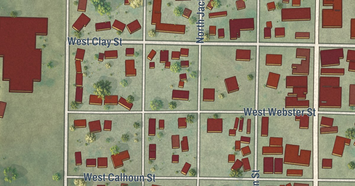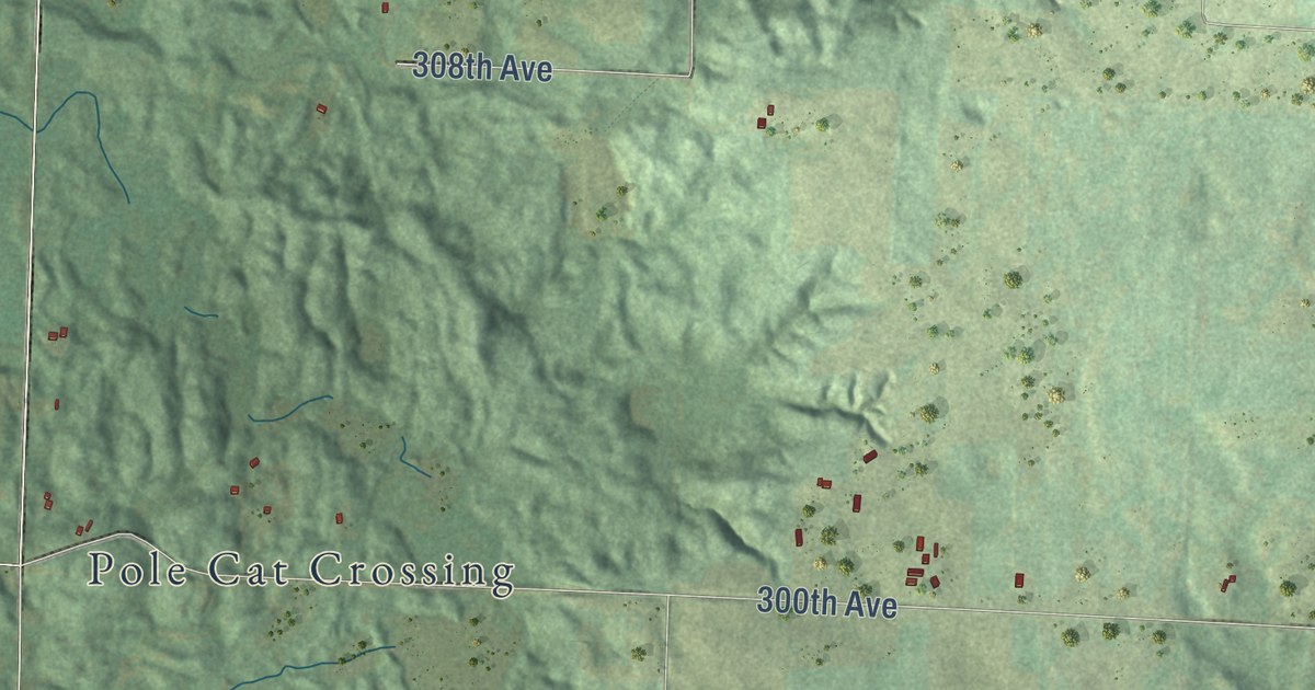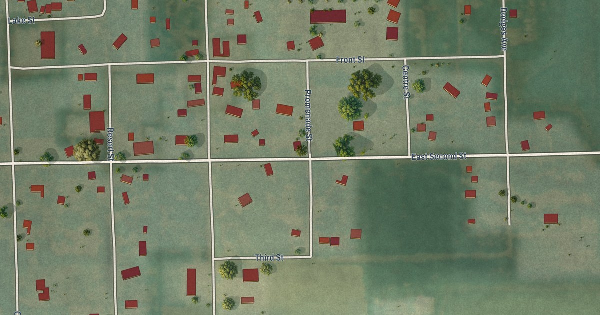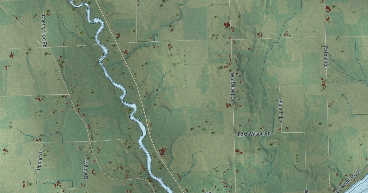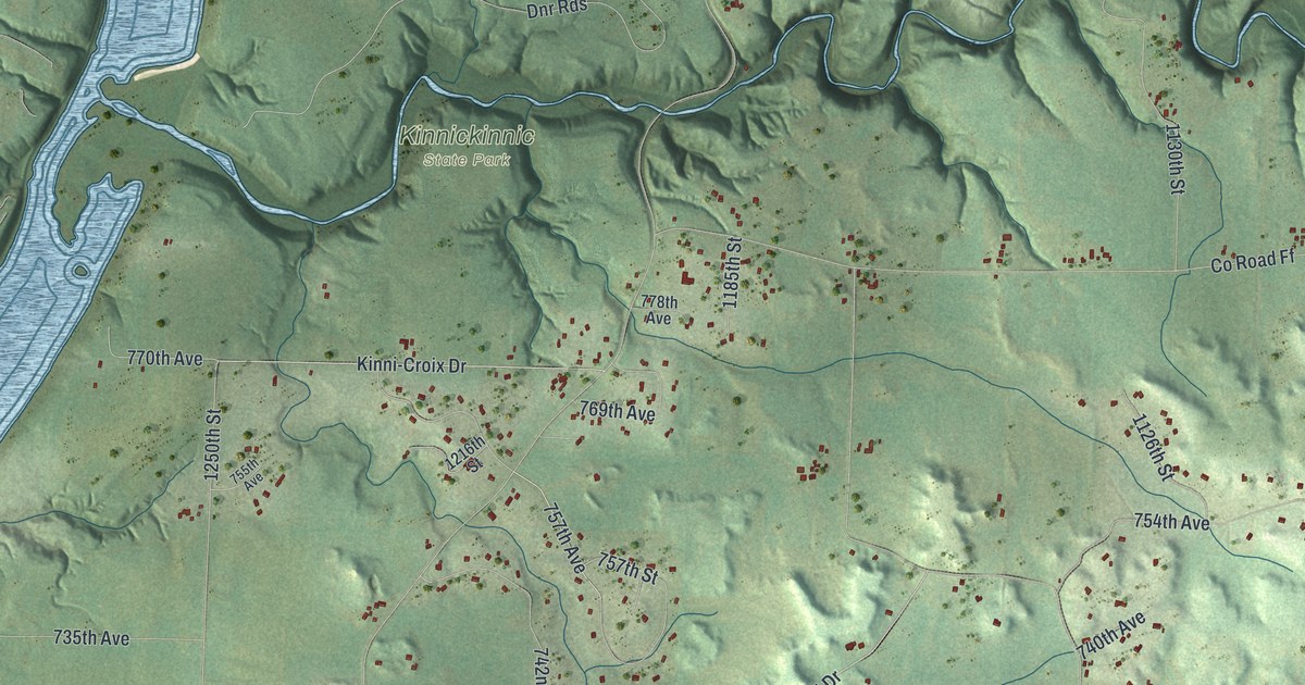
This beautifully detailed map of Clifton, Wisconsin was created in 2026 using aerial imagery combined with modern topographical, census, street and landmark data. It’s a one-of-a-kind view of Clifton that combines accurate data with a vintage aesthetic. The map shows every building in its true location, many of the roads carry their names, and the shaded topographic relief shows the shape of the land.
Explore an aerial view of Clifton, Wisconsin
On the map you’ll find Kinnickinnic State Park, along with State Road 29, 846th Avenue, 742nd Avenue, Kinni-Croix Drive, 714th Avenue, 757th Avenue, West 640th Avenue, County Road QQ, County Road MM, County Road FF, 840th Avenue, and more. If you look closely you can even find your house accurately drawn in its correct location. Zoom in on the preview to look for yours.
Did you know this piece of Clifton, Wisconsin history?
From the History of Pierce County: "In 1857 the town of Clifton was organized and the towns of Oak Grove and Perry (now Ellsworth) were set off."
Looking for a different Clifton? Wisconsin also has Clifton in Grant County and Clifton in Monroe County.
Take a closer look at the Clifton map
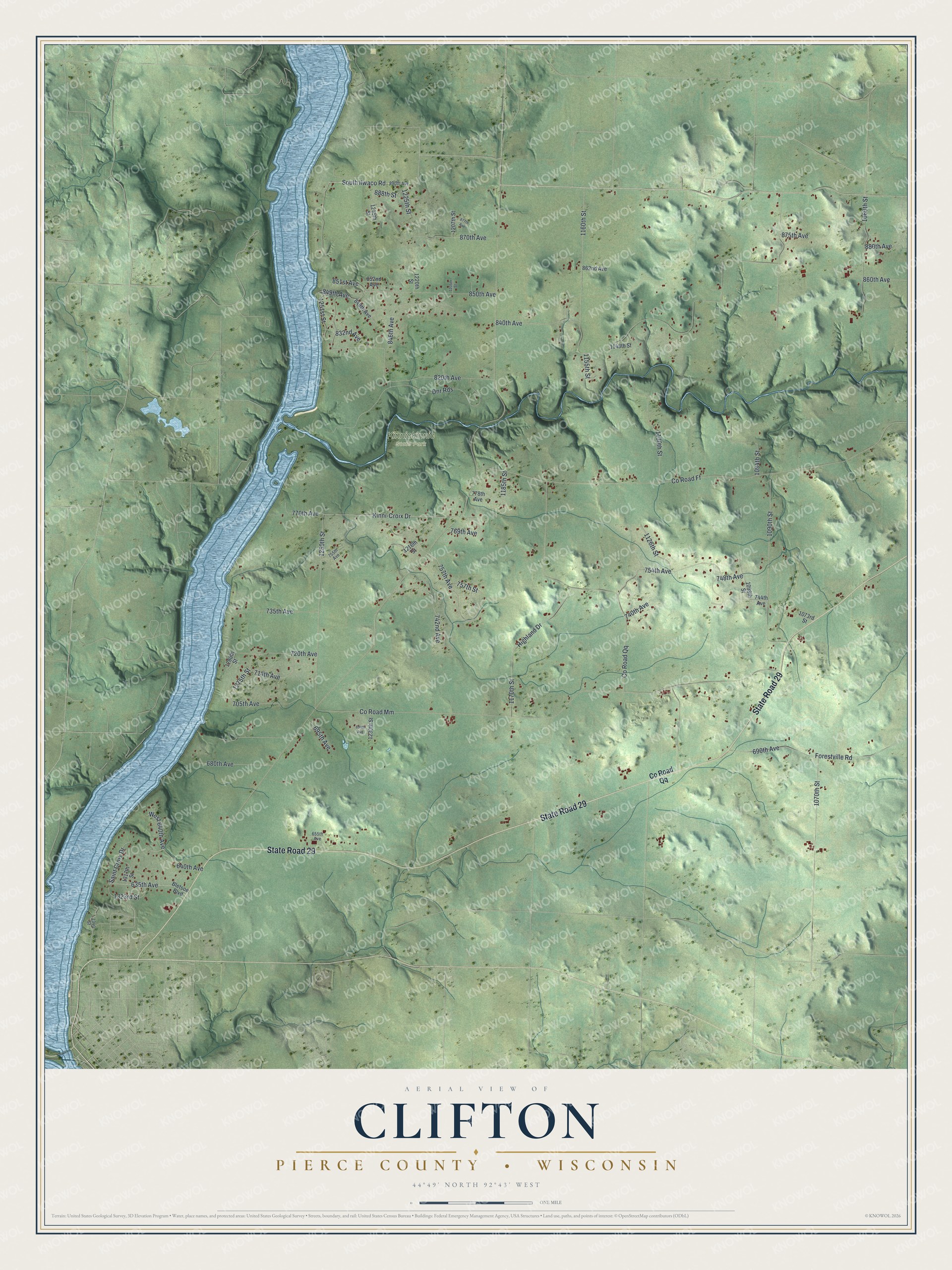
Street and place names on the Clifton, Wisconsin map
These names are printed on the map of Clifton, Wisconsin.
Places: Kinnickinnic State Park.
Streets and roads: State Road 29, 846th Avenue, 742nd Avenue, Kinni-Croix Drive, 714th Avenue, 757th Avenue, West 640th Avenue, County Road Qq, County Road Mm, County Road Ff, 840th Avenue, 1090th Street.
More street names, A to Z
635th Avenue, 640th Avenue, 655th Avenue, 680th Avenue, 690th Avenue, 694th Avenue, 695th Avenue, 705th Avenue, 720th Avenue, 735th Avenue, 740th Avenue, 744th Avenue, 748th Avenue, 754th Avenue, 755th Avenue, 757th Street, 769th Avenue, 770th Avenue, 778th Avenue, 820th Avenue, 832nd Avenue, 848th Avenue, 849th Avenue, 850th Avenue, 851st Avenue, 852nd Avenue, 860th Avenue, 862nd Avenue, 870th Avenue, 875th Avenue, 877th Avenue, 880th Avenue, 888th Street, 890th Avenue, 1060th Street, 1070th Street, 1073rd Street, 1094th Street, 1098th Street, 1126th Street, 1130th Street, 1148th Street, 1155th Street, 1160th Street, 1170th Street, 1185th Street, 1205th Street, 1207th Street, 1216th Street, 1220th Street, 1225th Street, 1230th Street, 1245th Street, 1250th Street, 1251st Street, 1275th Street, 1280th Street, 1317th Street, 1323rd Street, 1340 Street, Bletsoe Boulevard, Dnr Rds, Forestville Road, Highland Drive, Saint Croix Drive, South Ilwaco Road.
See the Clifton, Wisconsin map on a wall
The Clifton, Pierce County map as an 18 x 24 inch print in a black frame.

This beautifully detailed map of Clifton, Pierce County makes an attractive addition to your office, library, or den, and it can even be used to teach children the geography and history of the area. It also makes a great gift for anyone who grew up in Clifton or moved away. When you’re done exploring, click here to get your copy of the Clifton, Pierce County map.