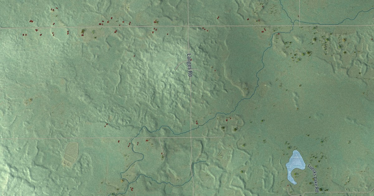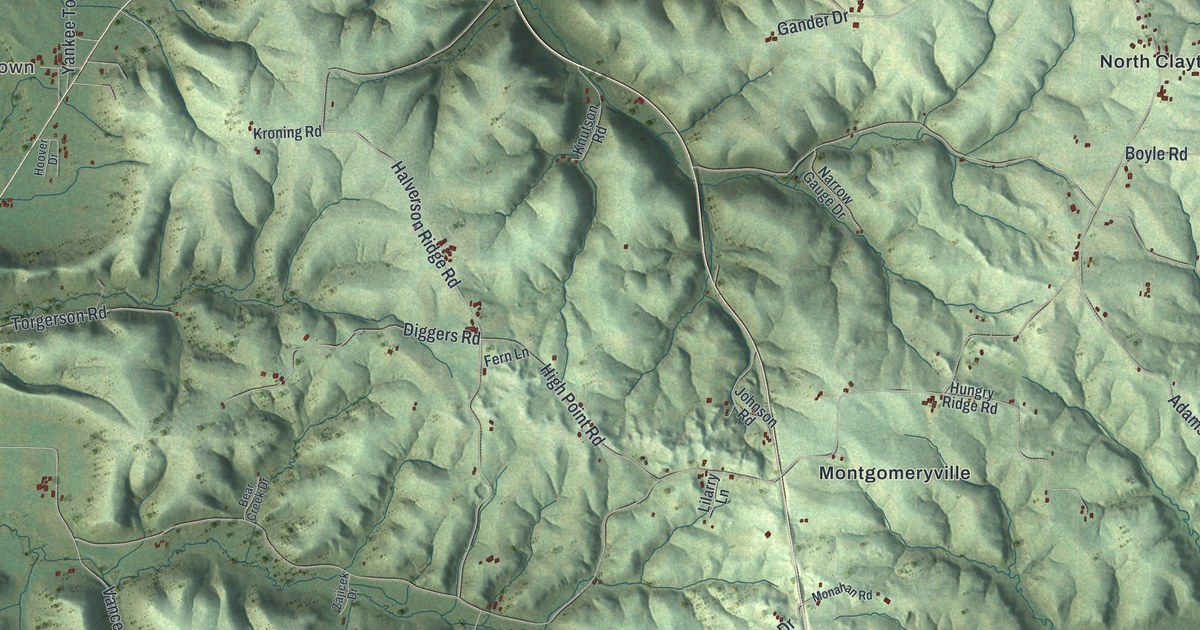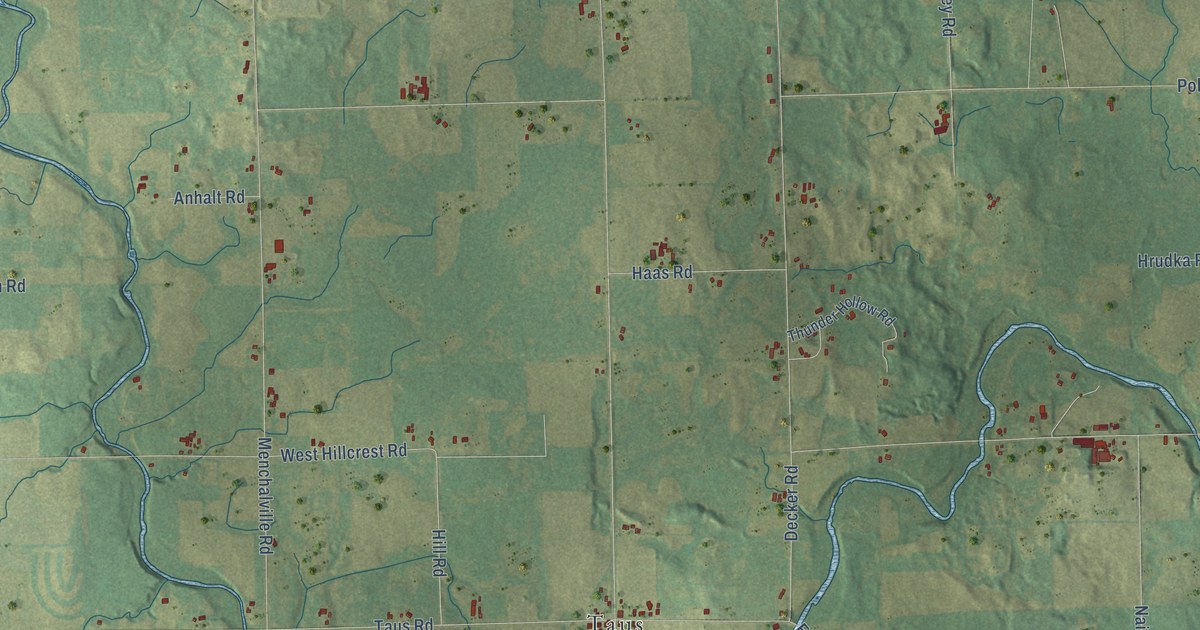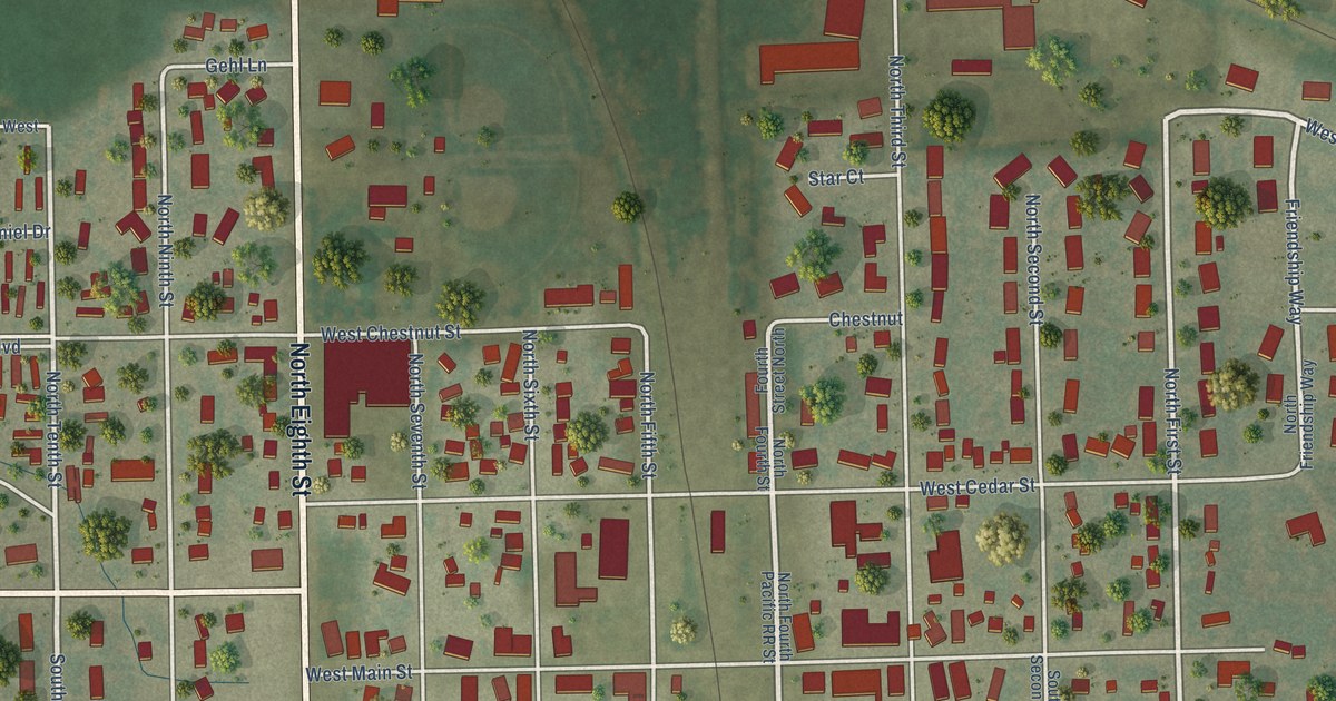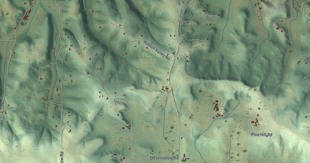
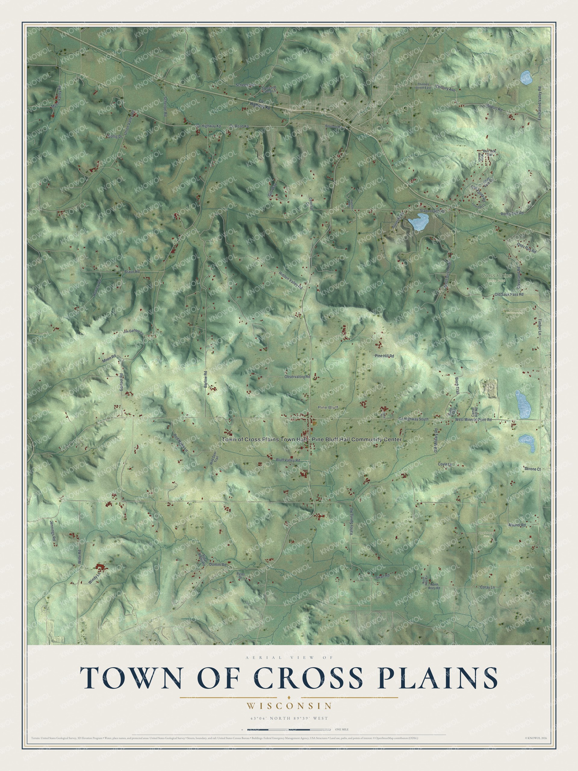
This beautifully detailed map of Cross Plains, Wisconsin was created in 2026 using aerial imagery combined with modern topographical, census, street and landmark data. It's a modern aerial view of Cross Plains in Dane County, Wisconsin, that combines modern data with a vintage aesthetic. The roads feature printed names, and if you look closely you can find your exact house accurately shown in its correct location.
Explore an aerial view of Cross Plains, Wisconsin
On this map you'll find Town of Cross Plains Town Hall – Pine Bluff Hall Community Center, Pine Bluff, Appleberry Farm, Cross Plains State Park, Ice Age Reserve Wildlife Area, Co Highway South, West Mineral Point Road, Garfoot Road, Timber Lane, Stagecoach Road, Observatory Road, Co Road Kp, and more. Each red shape is a building, so zoom in on the preview and look for yours.
Cross Plains has a story worth telling. The Town of Cross Plains puts it this way: "The town of Cross Plains was first settled in 1840, by Edward Hugh and John Campbell."
Cross Plains is a town in Dane County. The Census Bureau counted 1,494 people here in 2020.
Take a closer look at the Cross Plains map
Names on this map
These names are printed on this map.
Places: Town of Cross Plains Town Hall - Pine Bluff Hall Community Center, Pine Bluff, Appleberry Farm, Cross Plains State Park and Ice Age Reserve Wildlife Area.
Streets and roads: County Highway South, West Mineral Point Road, Garfoot Road, Timber Lane, Stagecoach Road, Observatory Road, County Road Kp, North Birch Trail, County Highway Kp, Barlow Road, Union Valley Road, Braun Road.
More street names, A to Z
Airport Road, Birch Trail, Bluff Valley Road, Bollig Drive, Bourbon Road, Bowar Road, Burr Oak Trail, Camel Hill Road, Celestial Circle, Century Avenue, Cleveland Road, Coray Lane, Coyle Lane, Dahmen Pass, Deer Run Road, Domini Road, Enchanted Valley Road, Gils Way, Gravel Pit Road, Hidden Valley Road, Howery Road, Jennings Road, Jim Garfoot Circle, Kurth Trail, Lone Oak Court, Maurer Road, Moen Road, Moen Valley Road, North Riley Circle, North Riley Road, Oak Valley Road, Old Military Road, Old Sauk Pass Road, Pine Hill Road, Red Hawk Lane, Rocky Dell Road, Ryser Drive, Scheele Road, Scherbel Road, Serene Court, Shag Bark Circle, Sherwood Forest Lane, Sugar Valley Road, Swan Road, Thinnes Street East, Valley Spring Road, White Oak Circle, Wild Deer Trail, Windy Lane, Witte Road.
Created by KNOWOL in 2026. The buildings are small red shapes, the roads carry their printed names, and shaded relief shows the shape of the land. The title panel reads "AERIAL VIEW OF TOWN OF CROSS PLAINS, WISCONSIN" with 43°04' NORTH 89°39' WEST.
It looks right in a kitchen, an office or a den, and it's a gift for anyone who grew up in Cross Plains or moved away. Open the preview and find your street. See sizes and frames for the Town of Cross Plains map.