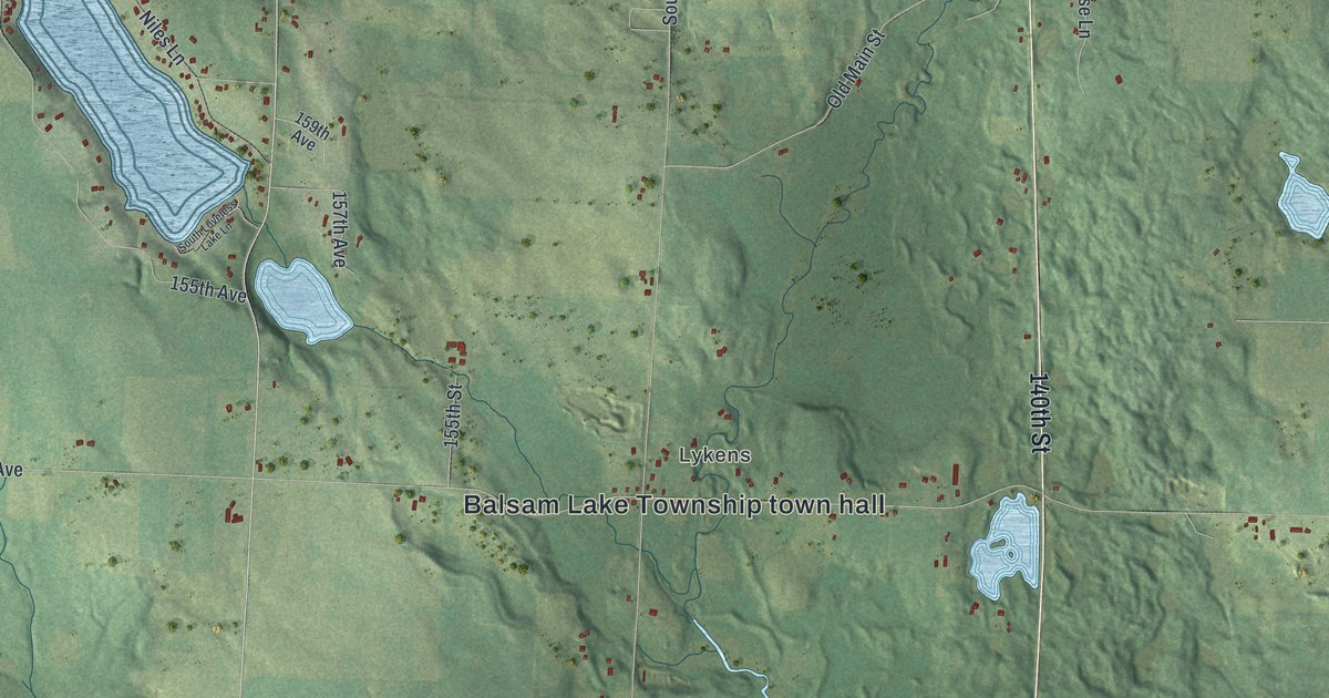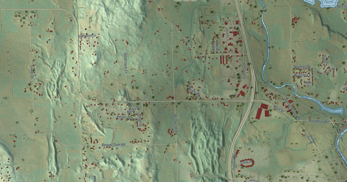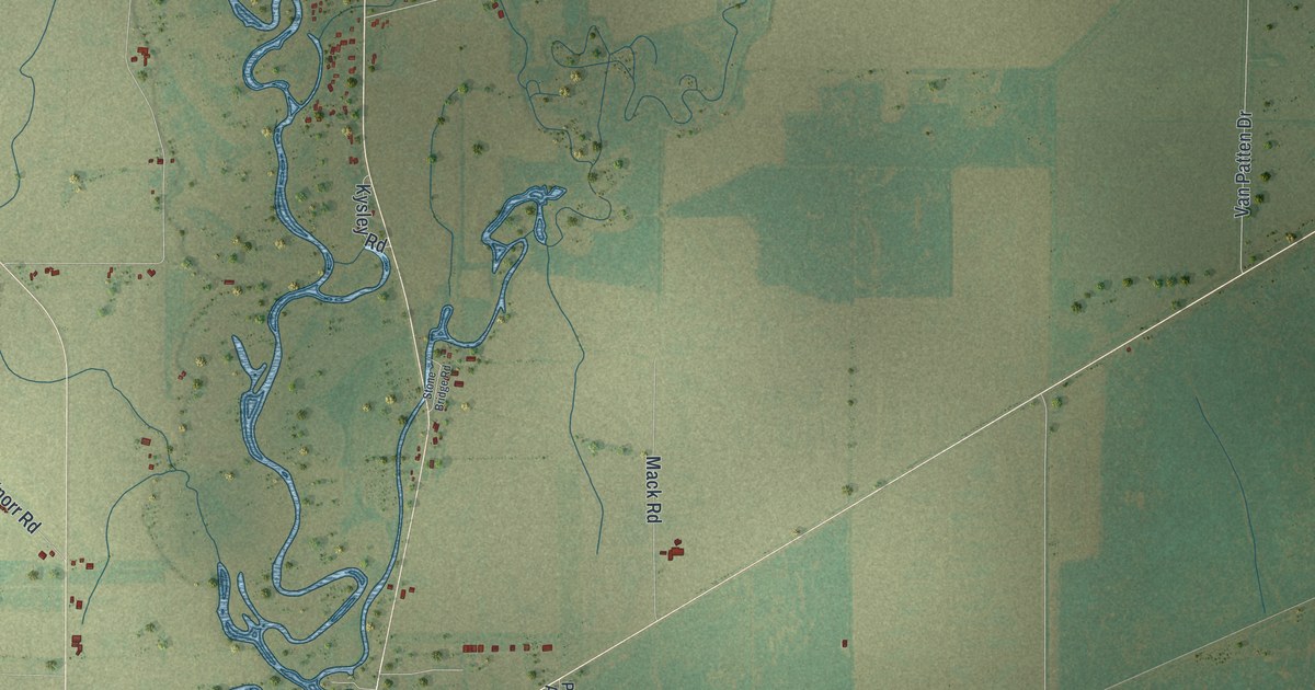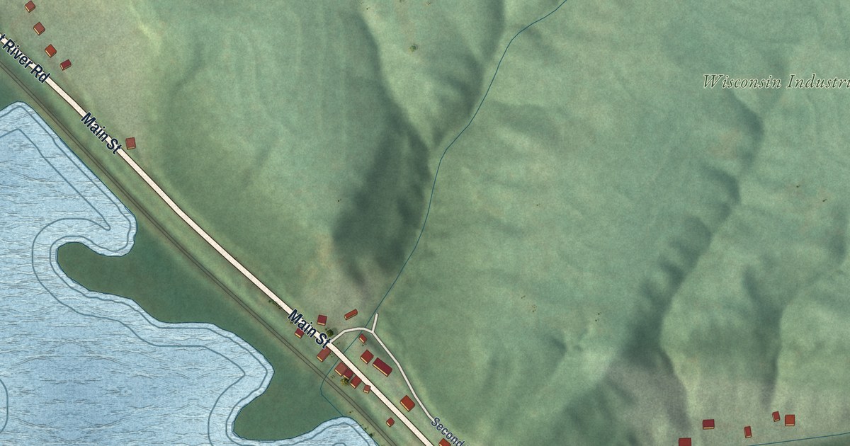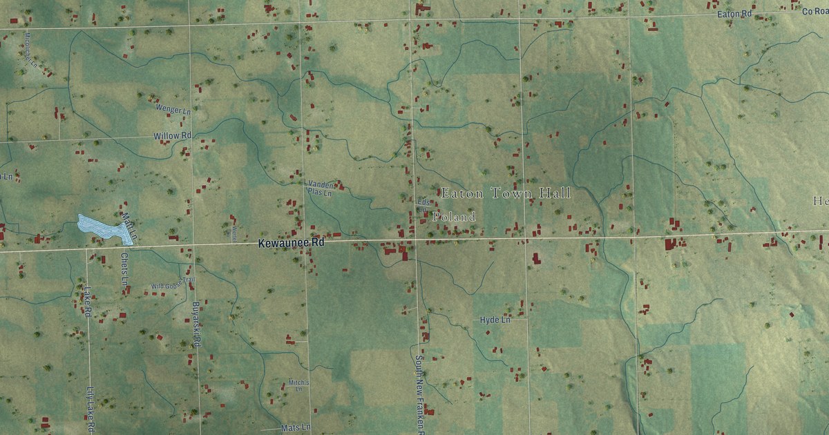
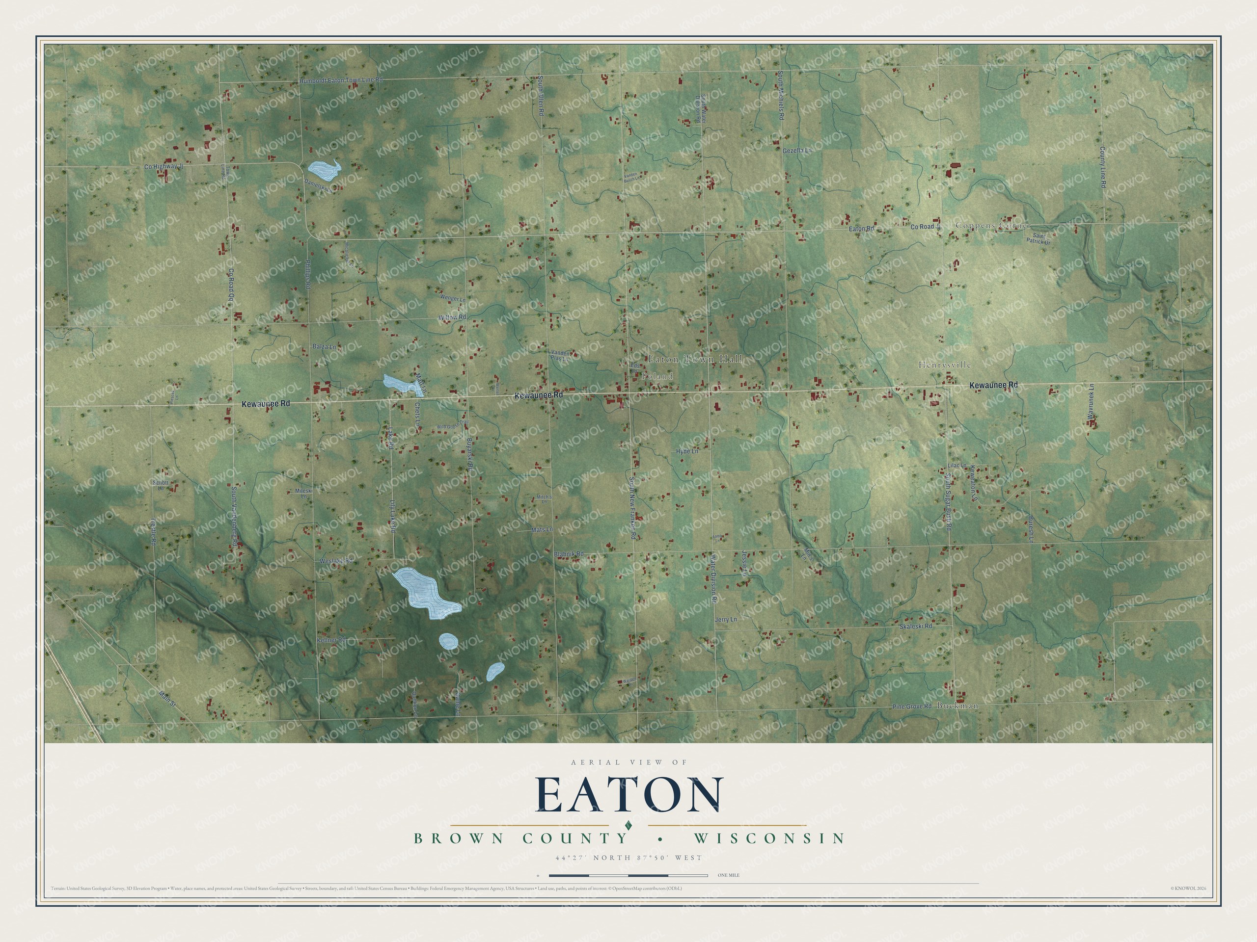
This beautifully detailed map of Eaton, Wisconsin was created in 2026 using aerial imagery combined with modern topographical, census, street and landmark data. It's a modern aerial view of Eaton in Brown County, Wisconsin, that combines modern data with a vintage aesthetic. The roads feature printed names, and if you look closely you can find your exact house accurately shown in its correct location.
Explore an aerial view of Eaton, Wisconsin
On this map you'll find Eaton Town Hall, Coppens Corner, Henrysville, Poland, Buckman, Kewaunee Road, Eaton Road, Co Highway Jj, Water Division Road, Lake Road, Pine Grove Road, Humboldt Eaton Town Line Road, and more. Each red shape is a building, so zoom in on the preview and look for yours.
Here is a piece of Eaton history, in the words of the record. The History of Brown County puts it this way: "The first settlers in the town of Eaton came about 1855. They were Patrick Carney, Patrick Burns, James Kehoe and others, who were followed by Danes, Belgians."
Eaton is a town in Brown County. The Census Bureau counted 1,662 people here in 2020.
Take a closer look at the Eaton map
Names on this map
These names are printed on this map.
Places: Eaton Town Hall, Coppens Corner, Henrysville, Poland and Buckman.
Streets and roads: Kewaunee Road, Eaton Road, County Highway Jj, Water Division Road, Lake Road, Pine Grove Road, Humboldt Eaton Town Line Road, County Road Jj, Phillips Road, South Sugar Bush Road, South New Franken Road, South Allen Road.
More street names, A to Z
Balza Lane, Blahnik Road, Buresh Lane, Buyarski Road, Chets Lane, County Line Road, County Road Qq, Danielski Lane, Eds Lane, Game Lane, Gezella Lane, Hyde Lane, Jerry Lane, Jessie Lane, Kellner Road, Keweaton Lane, Lamb Lane, Lilac Lane, Lily Lake Road, Main Street, Mats Lane, Matt Lane, Micolicher Lane, Mileski Lane, Min's Lane, Mitch's Lane, Piescek Lane, Quetion Lane, Saint Patrick Drive, Schott Lane, Skaleski Road, South Michiels Road, South Vandenberg Road, South Water Division Road, Town Line Road, Trestle Road, Vanden Busch Lane, Vanden Plas Lane, Warden Lane, Wavrunek Lane, Wenger Lane, Wertel Lane, Weslake Road, Wild Goose Trail, Willow Road.
Created by KNOWOL in 2026. The buildings are small red shapes, the roads carry their printed names, and shaded relief shows the shape of the land. The title panel reads "AERIAL VIEW OF EATON, BROWN COUNTY • WISCONSIN" with 44°27' NORTH 87°50' WEST.
It suits a den, a classroom or a front hall, and it makes a gift for anyone with Eaton roots. Open the preview and find the block you know. See sizes and frames for the Eaton, Brown County map.