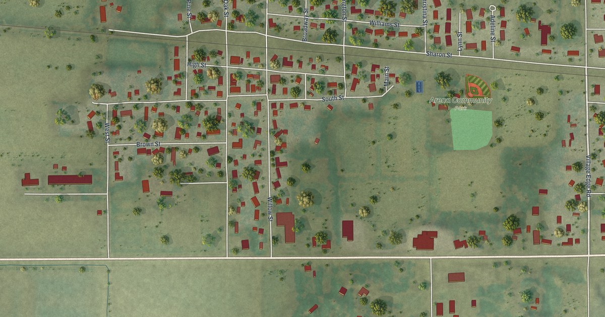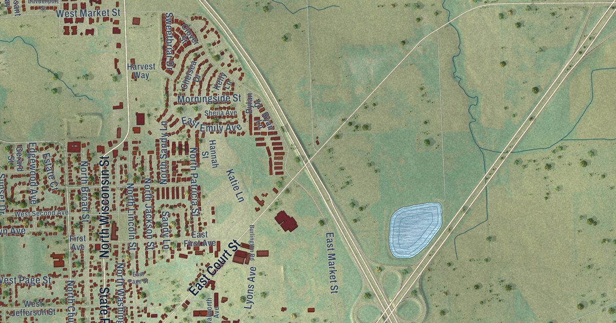
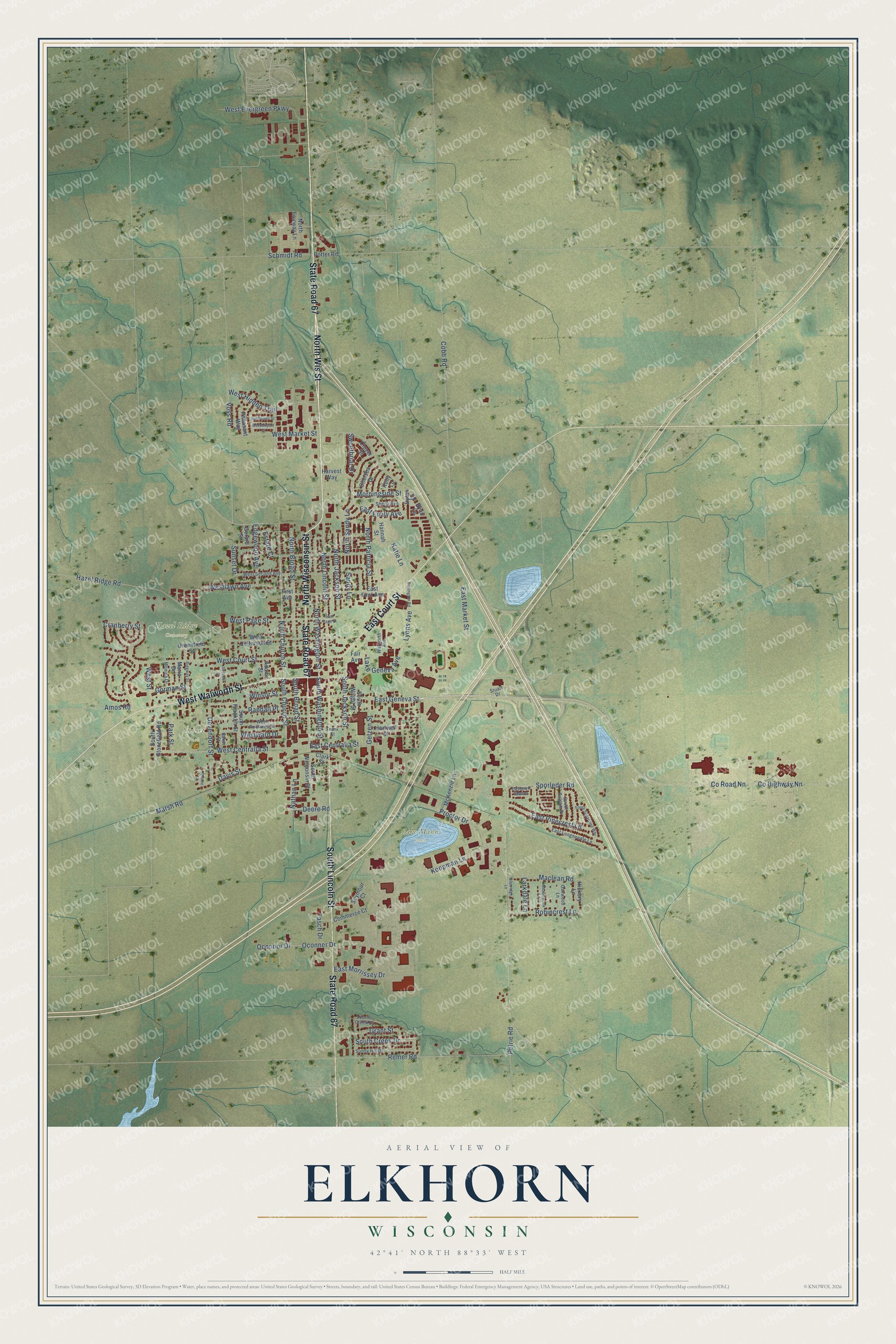
This beautifully detailed map of Elkhorn, Wisconsin was created in 2026 using aerial imagery combined with modern topographical, census, street and landmark data. It's a modern aerial view of Elkhorn in Walworth County, Wisconsin, that combines modern data with a vintage aesthetic. The roads feature printed names, and if you look closely you can find your exact house accurately shown in its correct location.
Explore an aerial view of Elkhorn, Wisconsin
On this map you'll find Babe Mann Park, Hazel Ridge Cemetery, Sunset Park, West Walworth Street, State Road 67, North Wis Street, North Wisconsin Street, South Lincoln Street, East Court Street, Co Highway Nn, East Geneva Street, Co Road Nn, and more. Each red shape is a building, so zoom in on the preview and look for yours.
Elkhorn has a story worth telling. The Internet Archive puts it this way: "He came to the village
in 1838, and it is told that he built the first framed house, opened the first
tavern, and placed a stagg-coach on the route between Delavan and Chicago."
Elkhorn is a city in Walworth County. The Census Bureau counted 10,247 people here in 2020.
Take a closer look at the Elkhorn map
Names on this map
These names are printed on this map.
Places: Babe Mann Park, Hazel Ridge Cemetery and Sunset Park.
Streets and roads: West Walworth Street, State Road 67, North Wis Street, North Wisconsin Street, South Lincoln Street, East Court Street, County Highway Nn, East Geneva Street, County Road Nn, East Market Street, North Church Street, Sandy Lane.
More street names, A to Z
Adams Street, Amos Road, Baker Street, Burlington Road, Chelsea Drive, Clark Street, Clover Street, Cobb Road, Commerce Court, Cranberry Street, Davdenport Street, Davis Street, Deere Road, Devendorf Street, Dylan Drive, East Centralia Street, East Emily Avenue, East First Avenue, East Longneedle Lane, East Morrissey Drive, Eastown Manor, East Page Street, East Pinecrest Lane, Edgewood Avenue, Estate Court, Fair Avenue, First Avenue, Frank Street, Gerard Street, Getzen Street, Glenridge Lane, Gorman Street, Grant Street, Greenfield Street, Hannah Street, Hartwell Street, Harvest Way, Hazel Ridge Road, Hickory Lane, Jerome Court, Katie Lane, Kelly Lane, Koopman Lane, Lake Geneva Avenue, Larkdale Lane, Lyons Avenue, Maclean Road, Maria Drive, Marsh Road, McKenzie Lane, Meadowlark Lane, Monica Drive, Morningside Street, Nathan Lane, North Broad Street, North Creek Drive, North Fairway Lane, North Jackson Street, North Lincoln Street, North Patricia Street, North Sandy Lane, North Washington Street, Oakwood Lane, Oconner Drive, Oconnor Drive, Park Street, Petrie Road, Pheasant Way, Potter Road, Proctor Drive, Randall Place, Remer Road, Ridgway Street, Robincrest Lane, Ryan Lane, Schmidt Road, Seymour Court, Sheila Avenue, South Balsam Drive, South Broad Street, South Church Street, South Creek Drive, South Franklin Street, South Jackson Street, South Stonefield Road, South Sugarpine Way, South Washington Street, South Wisconsin Street, South Wright Street, Spencer Street, Sporleder Road, Stuart Drive, Sunflower Street, Sunny Hill Drive, Sunset Drive, Sweetbriar Drive, Tasch Drive, Voss Road, Walworth Avenue, West Centralia Street, West Court Street, West Evergreen Parkway, West Hidden Trail, West Jefferson Street, Westlawn Avenue, West Market Street, West Page Street, West Rockwell Street, West Second Avenue, West Street, Westward Drive, Winsor Street.
Created by KNOWOL in 2026. The buildings are small red shapes, the roads carry their printed names, and shaded relief shows the shape of the land. The title panel reads "AERIAL VIEW OF ELKHORN, WISCONSIN" with 42°41' NORTH 88°33' WEST.
It looks right in a kitchen, an office or a den, and it's a gift for anyone who grew up in Elkhorn or moved away. Open the preview and find your street. See sizes and frames for the Elkhorn map.