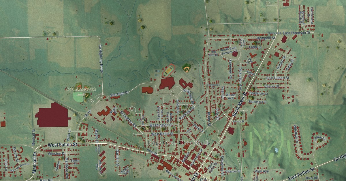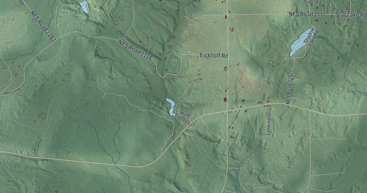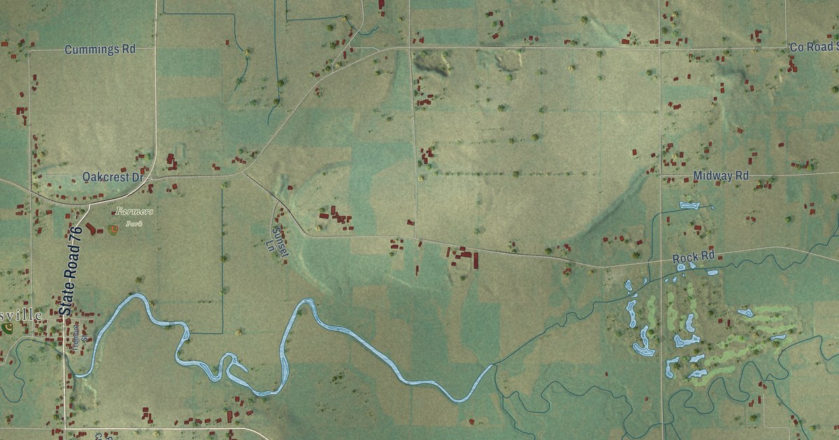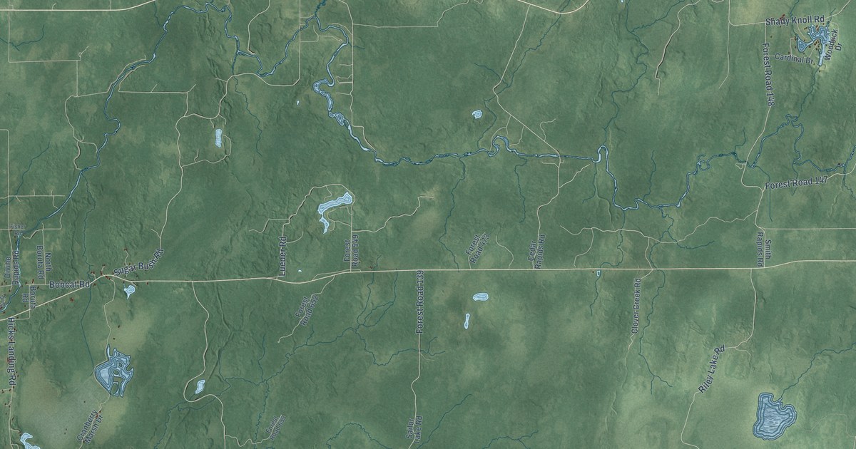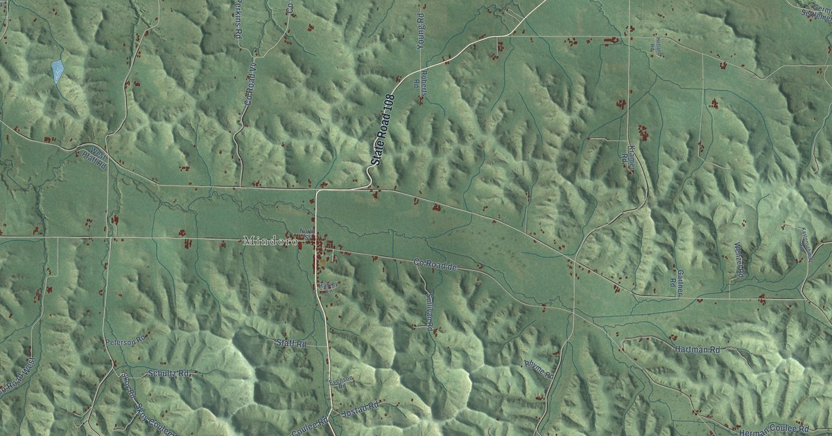
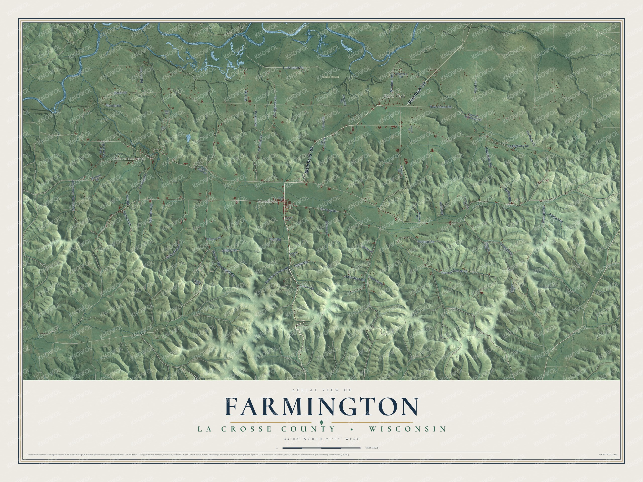
This beautifully detailed map of Farmington, Wisconsin was created in 2026 using aerial imagery combined with modern topographical, census, street and landmark data. It's a modern aerial view of Farmington in La Crosse County, Wisconsin, that combines modern data with a vintage aesthetic. The roads feature printed names, and if you look closely you can find your exact house accurately shown in its correct location.
Explore an aerial view of Farmington, Wisconsin
On this map you'll find Stevenstown, Burr Oak, Mindoro, Hoeth Forest, State Road 108, Lockington Road, Severson Coulee Road, Co Road de, Co Highway Vv, Co Road Vv, Co Road Ee, Baker Road, and more. Each red shape is a building, so zoom in on the preview and look for yours.
Farmington has a story worth telling. The Internet Archive puts it this way: "In January, he built a log cabin about two milee north of the land which he had chosen, the
boards usimI for flooring and covering having been washed down the Black River in a freshet."
Farmington is a town in La Crosse County. The Census Bureau counted 2,140 people here in 2020.
Take a closer look at the Farmington map
Names on this map
These names are printed on this map.
Places: Stevenstown, Burr Oak, Mindoro and Hoeth Forest.
Streets and roads: State Road 108, Lockington Road, Severson Coulee Road, County Road de, County Highway Vv, County Road Vv, County Road Ee, Baker Road, Herman Coulee Road, County Road Ta, Wanlass Road, Davis Creek Road.
More street names, A to Z
Albertson Road, Amborn Road, Amundson Coulee Road, Amundson Road, Anderson Road, County Highway Ae, County Road Dd, County Road West, Cox Hill Road, Evenson Road, Gartner Road, German Settlement Road, Hale Road, Hall Road, Hanson Road, Hartman Road, Harvey Lane, Hetland Road, Hippler Hill Road, Jerome Road, Jostad Road, Kastenschmidt Road, Kramer Road, Larson Road, Mahlum Road, McIntosh Road, Mickelson Road, North Street, Perkins Road, Peterson Road, Pilar Court, Radcliffe Road, Rhyme Road, Roberts Road, Schultz Road, Skoy Coulee Road, Skoy Road, Staff Road, Stetzer Road, Stumlin Road, Sullivan Road, Syverson Road, Vogel Road, Voss Road, Wenzel Road, West Pfaff Road, West Severson Road, Wild Road, Young Road.
Created by KNOWOL in 2026. The buildings are small red shapes, the roads carry their printed names, and shaded relief shows the shape of the land. The title panel reads "AERIAL VIEW OF FARMINGTON, LA CROSSE COUNTY • WISCONSIN" with 44°02' NORTH 91°05' WEST.
It looks right in a kitchen, an office or a den, and it's a gift for anyone who grew up in Farmington or moved away. Open the preview and find your street. See sizes and frames for the Farmington, La Crosse County map.