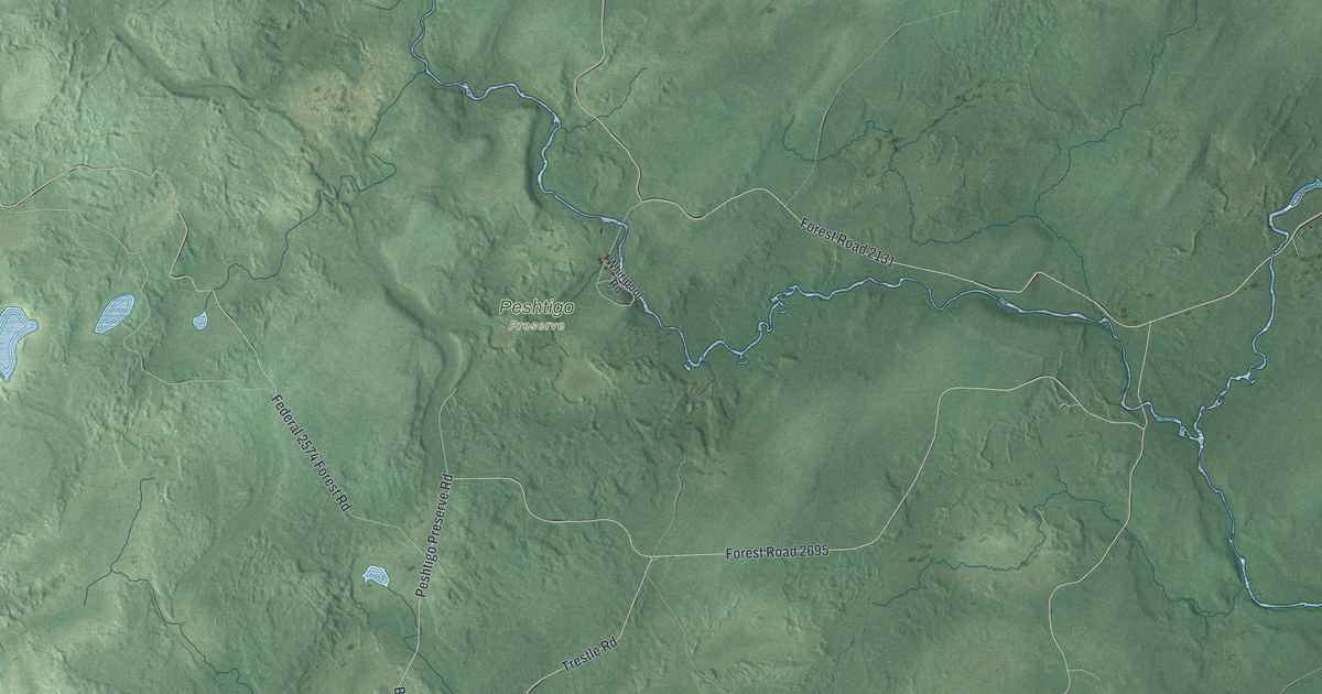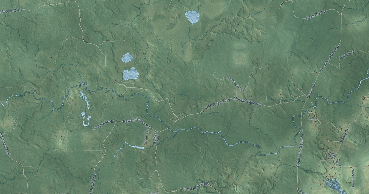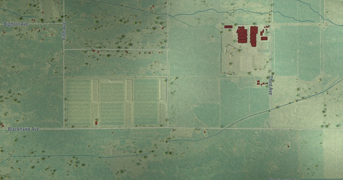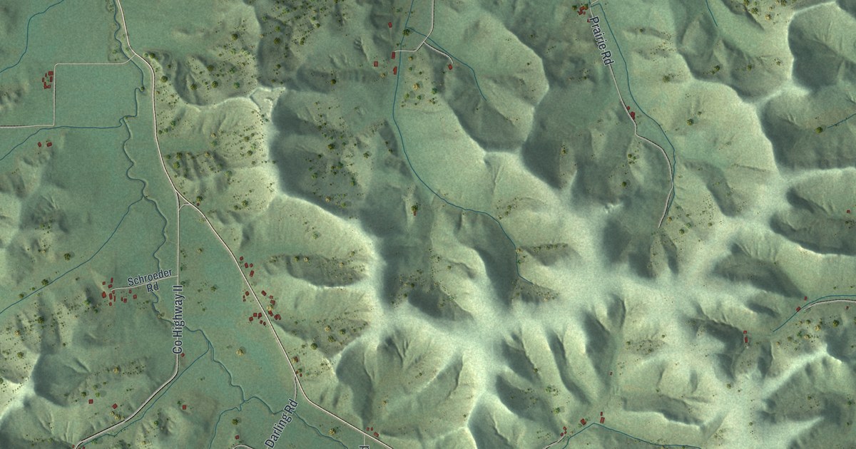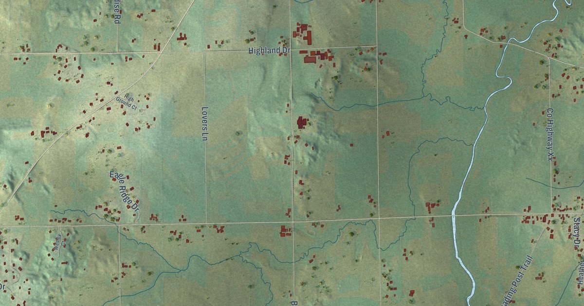
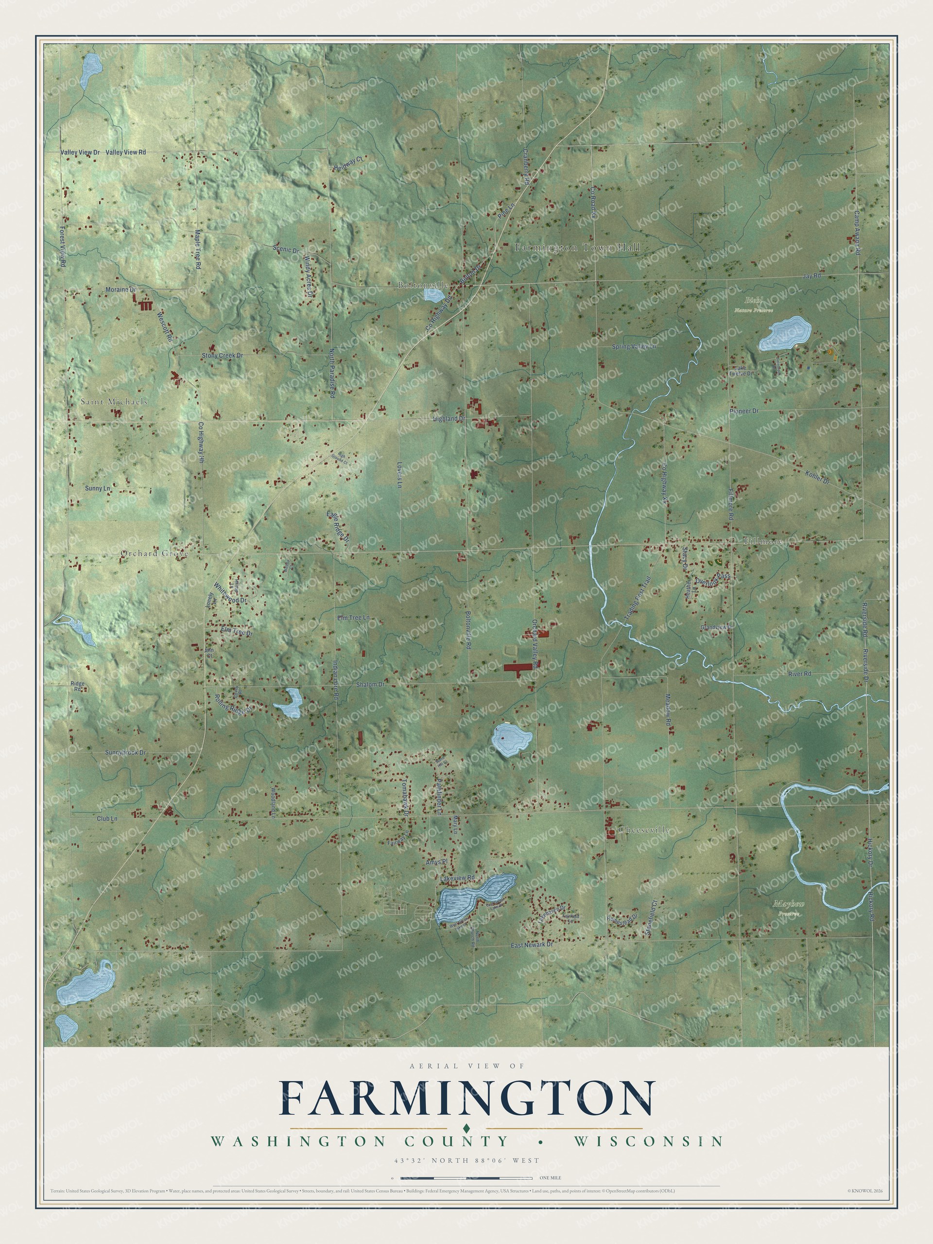
This beautifully detailed map of Farmington, Wisconsin was created in 2026 using aerial imagery combined with modern topographical, census, street and landmark data. It's a modern aerial view of Farmington in Washington County, Wisconsin, that combines modern data with a vintage aesthetic. The roads feature printed names, and if you look closely you can find your exact house accurately shown in its correct location.
Explore an aerial view of Farmington, Wisconsin
On this map you'll find Farmington Town Hall, Saint Michaels, Cheeseville, Fillmore, Orchard Grove, Boltonville, Biehl Nature Preserve, Mayhew Preserve, Co Road Xx, Lakeview Road, Scenic Drive, Valley View Drive, and more. Each red shape is a building, so zoom in on the preview and look for yours.
Farmington has a story worth telling. The Farmington Historical Society puts it this way: "On March 11, 1847, Farmington was formally declared a township, not long after the first settlers came to the area. It was common to draw upon the physical surroundings to name a community, and Farmington was no exception."
Farmington is a town in Washington County. The Census Bureau counted 3,645 people here in 2020.
Take a closer look at the Farmington map
Names on this map
These names are printed on this map.
Places: Farmington Town Hall, Saint Michaels, Cheeseville, Fillmore, Orchard Grove, Boltonville, Biehl Nature Preserve and Mayhew Preserve.
Streets and roads: County Road Xx, Lakeview Road, Scenic Drive, Valley View Drive, Valley View Road, Hickory Drive, County Highway Xx, Hickory Road, Jay Road, Moraine Drive, Camp Awana Road, Riverside Road.
More street names, A to Z
Amys Place, Ann Court, Bolton Drive, Boltonville Road, Club Lane, County Highway Dd, County Highway Hh, Covey Place, Cranberry Road, Eagle Ridge Drive, East Green Lake Drive, East Newark Drive, Elm Tree Drive, Elm Tree Lane, Fairfield Lane, Fairway Lane, Fernbrook Drive, Fillmore Road, Forest View Road, Grandview Drive, Heather Lane, Heidway Court, High Ground Court, Highland Drive, Hilltop Lane, Homestead Drive, Indian Lore Road, Kohler Drive, Lakehaven Drive, Lake Twelve Drive, Lonely Lane, Lovers Lane, Maple Tree Road, Mary Lane, Meadow Road, North Church Road, North Paradise Road, Orchard Valley Road, Overlook Pass, Pathfinder Lane, Pine Lane, Pioneer Drive, Ridge Road, River Road, Riverside Drive, Rolling Ridge Drive, Shalom Drive, Spring Valley Lane, Stacy Drive, Stand Hill Court, Stonefield Court, Stony Creek Drive, Sunnybrook Drive, Sunny Lane, Tomahawk Drive, Trading Post Trail, Wescott Road, Wesley Court, West Green Lake Drive, Whitewood Drive, Windy Acres Drive, Woodland Lane.
Created by KNOWOL in 2026. The buildings are small red shapes, the roads carry their printed names, and shaded relief shows the shape of the land. The title panel reads "AERIAL VIEW OF FARMINGTON, WASHINGTON COUNTY • WISCONSIN" with 43°32' NORTH 88°06' WEST.
It looks right in a kitchen, an office or a den, and it's a gift for anyone who grew up in Farmington or moved away. Open the preview and find your street. See sizes and frames for the Farmington, Washington County map.