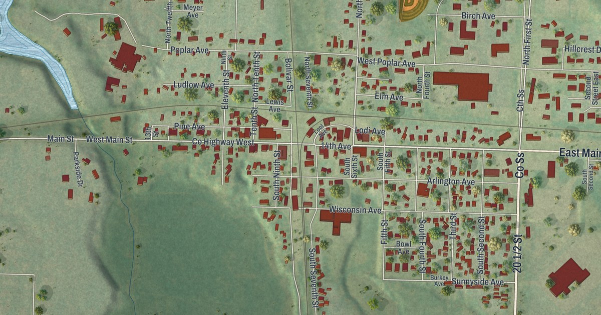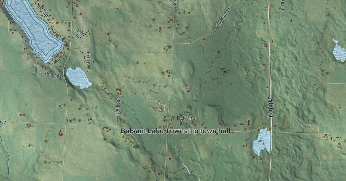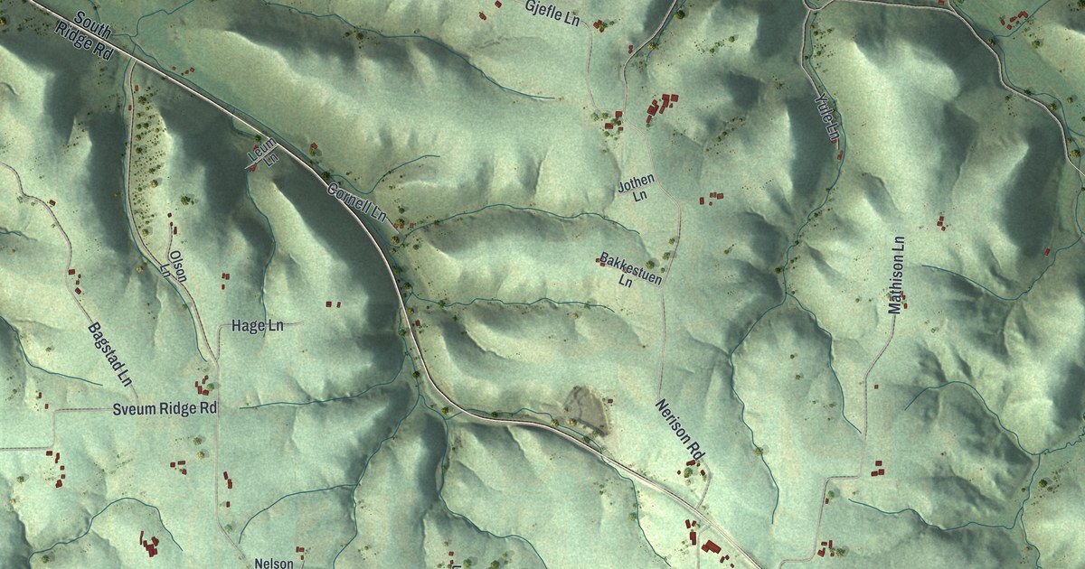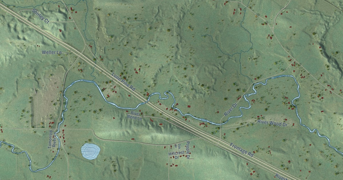
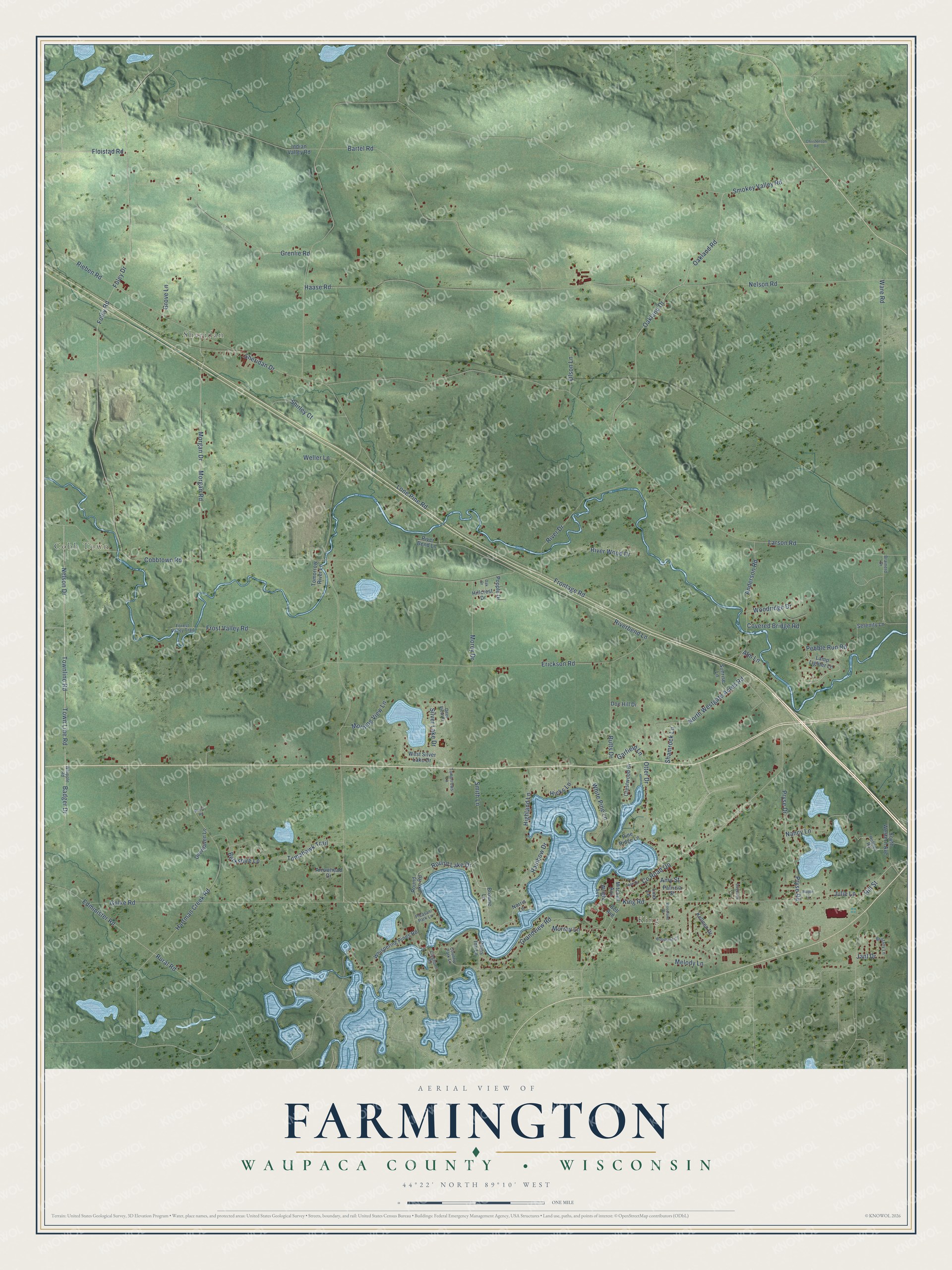
This beautifully detailed map of Farmington, Wisconsin was created in 2026 using aerial imagery combined with modern topographical, census, street and landmark data. It's a modern aerial view of Farmington in Waupaca County, Wisconsin, that combines modern data with a vintage aesthetic. The roads feature printed names, and if you look closely you can find your exact house accurately shown in its correct location.
Explore an aerial view of Farmington, Wisconsin
On this map you'll find King, Cobb Town, Sheridan, Badger Drive, Golke Road, Round Lake Drive, Nelson Drive, Town Line Road, Floistad Road, Silver Lake Drive, Co Road Qq, Frost Valley Road, and more. Each red shape is a building, so zoom in on the preview and look for yours.
Farmington is a town in Waupaca County. The Census Bureau counted 3,712 people here in 2020. The map prints the town name in its title panel, with the coordinates below it.
Take a closer look at the Farmington map
Names on this map
These names are printed on this map.
Places: King, Cobb Town and Sheridan.
Streets and roads: Badger Drive, Golke Road, Round Lake Drive, Nelson Drive, Town Line Road, Floistad Road, Silver Lake Drive, County Road Qq, Frost Valley Road, Melody Lane, Edminister Road, Larson Road.
More street names, A to Z
Alm Lane, Amy Street, Anderson Road, Arrowhead Drive, Bartel Road, Bell Avenue, Berkshire Lane, Brainerd Drive, Brittany Lane, Browne Lane, Butts Drive, Christenson Road, Cleghorn Road, Cobbtown Road, Country Park Lane, Covered Bridge Road, Crestwood Drive, Deerhaven Lane, Deer View Court, Doe Hill Drive, Duvenick Lane, Erickson Road, Foley Drive, Foley Road, Forest Valley Trail, Frontage Road, Garfield Lane, Grandview Road, Grenlie Road, Grove Lane, Haase Road, Hartman Creek Road, Hicks Lane, Highland Lane, Hillcrest Drive, Hill Street, Holmes Road, Indian Valley Road, Janl Drive, Julie Lane, Kelleen Drive, King Road, Lamp Lighter Lane, Lind Lane, Lone Pine Road, Maple Lane, Mitchell Avenue, Morey Drive, Morgan Drive, Morgan Road, Morning View Lane, Murray Lane, Nancy Lane, Nelson Road, Norris Lane, North Westgate Acres Road, Oak Drive, Oakland Drive, Oakland Road, Olson Lane, Otter Drive, Park Lane Drive, Patricia Street, Pebble Run Road, Pine Ridge Lane, Pines Inn Lane, Pleasant Park Lane, Popple Drive, Pryse Drive, Pryse Road, Rainbow Drive, Rieben Road, Riverbend Lane, River Bend Lane, River Drive, River Wood Drive, Round Lake Road, Rural Road, Rusch Road, Serenity Lane, Shamrock Lane, Sheridan Drive, Shirley Court, Smith Lane, Smokey Valley Road, South Western Avenue, Sunrise Lane, Tomahawk Trail, Tomorrow River Lane, Tomorrows Lane, Townline Road, Ware Road, Weller Lane, West Silver Lake Drive, Whipple Road, Whispering Pines Road, White Pine Lane, Woodland Circle, Woodland Drive, Woodridge Drive, Wright Avenue.
Created by KNOWOL in 2026. The buildings are small red shapes, the roads carry their printed names, and shaded relief shows the shape of the land. The title panel reads "AERIAL VIEW OF FARMINGTON, WAUPACA COUNTY • WISCONSIN" with 44°22' NORTH 89°10' WEST.
It looks right in a kitchen, an office or a den, and it's a gift for anyone who grew up in Farmington or moved away. Open the preview and find your street. See sizes and frames for the Farmington, Waupaca County map.