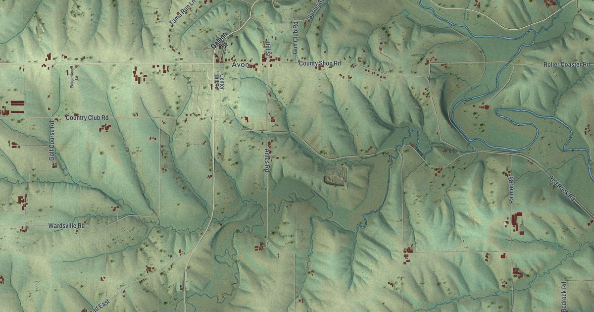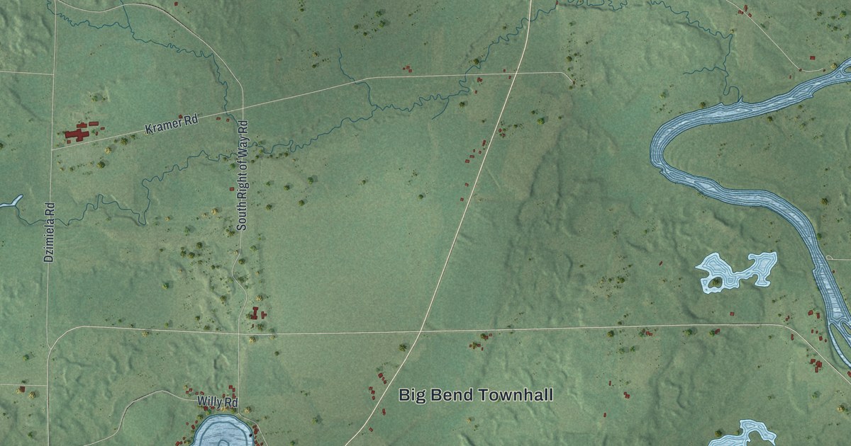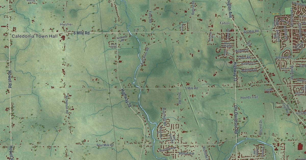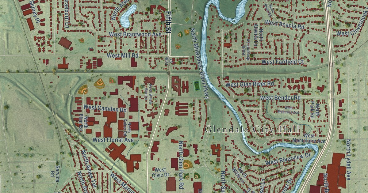
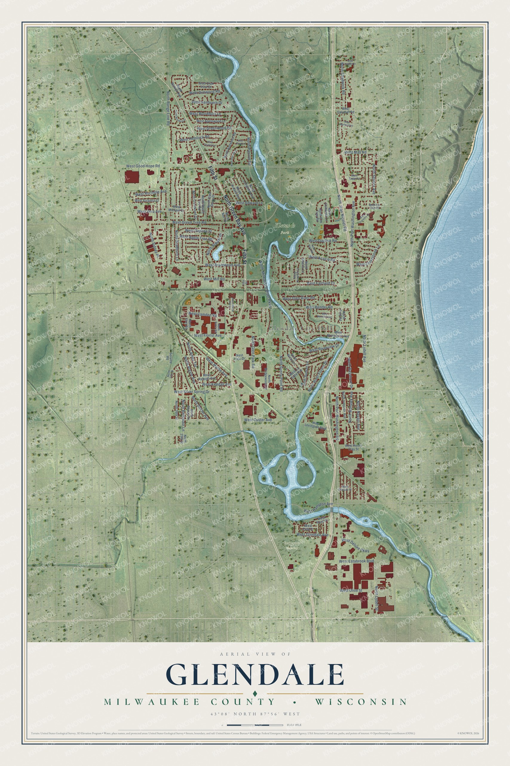
This beautifully detailed map of Glendale, Wisconsin was created in 2026 using aerial imagery combined with modern topographical, census, street and landmark data. It's a modern aerial view of Glendale in Milwaukee County, Wisconsin, that combines modern data with a vintage aesthetic. The roads feature printed names, and if you look closely you can find your exact house accurately shown in its correct location.
Explore an aerial view of Glendale, Wisconsin
On this map you'll find Glendale City Hall, Evergreen Cemetery, Kletzsch Park, North Green Bay Avenue, Fifth Street, West Mill Road, West Green Tree Road, North Port Washington Avenue, North Lydell Street, North Port Washington Road, North Milwaukee River Parkway, North Range Line Road, and more. Each red shape is a building, so zoom in on the preview and look for yours.
Glendale is a city in Milwaukee County. The Census Bureau counted 13,357 people here in 2020. The map prints the town name in its title panel, with the coordinates below it.
Take a closer look at the Glendale map
Names on this map
These names are printed on this map.
Places: Glendale City Hall, Evergreen Cemetery and Kletzsch Park.
Streets and roads: North Green Bay Avenue, Fifth Street, West Mill Road, West Green Tree Road, North Port Washington Avenue, North Lydell Street, North Port Washington Road, North Milwaukee River Parkway, North Range Line Road, West Silver Spring Drive, West Good Hope Road, West Bender Road.
More street names, A to Z
North 25th Street, North 26th Street, North 27th Street, North Alberta Lane, North Ames Terrace, North Ardara Avenue, North Argyle Avenue, North Atwahl Drive, North Baker Road, North Bayshore Drive, North Beech Tree Road, North Berwyn Avenue, North Bethmaur Lane, North Braeburn Lane, North Bridgewood Lane, North Chadwick Road, North Crestwood Drive, North Dexter Avenue, North Elm Tree Road, North Flint Road, North Glen Park Road, North Glen Shore Drive, North Hyacinth Lane, North Ironwood Lane, North Iroquois Avenue, North Jean Nicolet Road, North Longview Avenue, North Lydell Avenue, North Mohawk Avenue, North Navajo Avenue, North Neil Place, North Park Road, North Pierron Road, North Redwood Road, North River Forest Drive, North River Road, North Seneca Avenue, North Shasta Drive, North Sidney Place, North Sunny Point Road, North Sunset Lane, North Wayside Drive, North Wending Drive, North Willow Glen Lane, North Witte Lane, Service Road, West Acacia Road, West Apple Tree Road, West Applewood Lane, West Bayfield Avenue, West Brantwood Avenue, West Calumet Road, West Camden Road, West Chateau Place, West Civic Drive, West Clovernook Lane, West Club View Drive, West Coventry Court, West Custer Avenue, West Daisy Lane, West Daphne Road, West Daphne Street, West Deluxe Parkway, West Dunwood Road, West Edward Lane, West Estabrook Boulevard, West Eula Court, West Fairfield Court, West Florist Avenue, West Fox Dale Road, West Glendale Avenue, West Glen River Road, West Greenwood Road, West Hampton Avenue, West Hemlock Road, West Henry Clay Street, West Kenboern Drive, West Kendall Avenue, West La Salle Avenue, West Lexington Boulevard, West Luebbe Lane, West Mall Road, West Marne Avenue, West Michael Drive, West Monrovia Avenue, West Montclaire Avenue, West Olive Street, West Raleigh Avenue, West Riverview Drive, West Rochelle Avenue, West Rock Place, West Skyline Road, West Sugar Lane, West Valanna Court, West Vera Avenue, West Woodbury Lane.
Created by KNOWOL in 2026. The buildings are small red shapes, the roads carry their printed names, and shaded relief shows the shape of the land. The title panel reads "AERIAL VIEW OF GLENDALE, MILWAUKEE COUNTY • WISCONSIN" with 43°08' NORTH 87°56' WEST.
It suits a den, a classroom or a front hall, and it makes a gift for anyone with Glendale roots. Open the preview and find the block you know. See sizes and frames for the Glendale, Milwaukee County map.