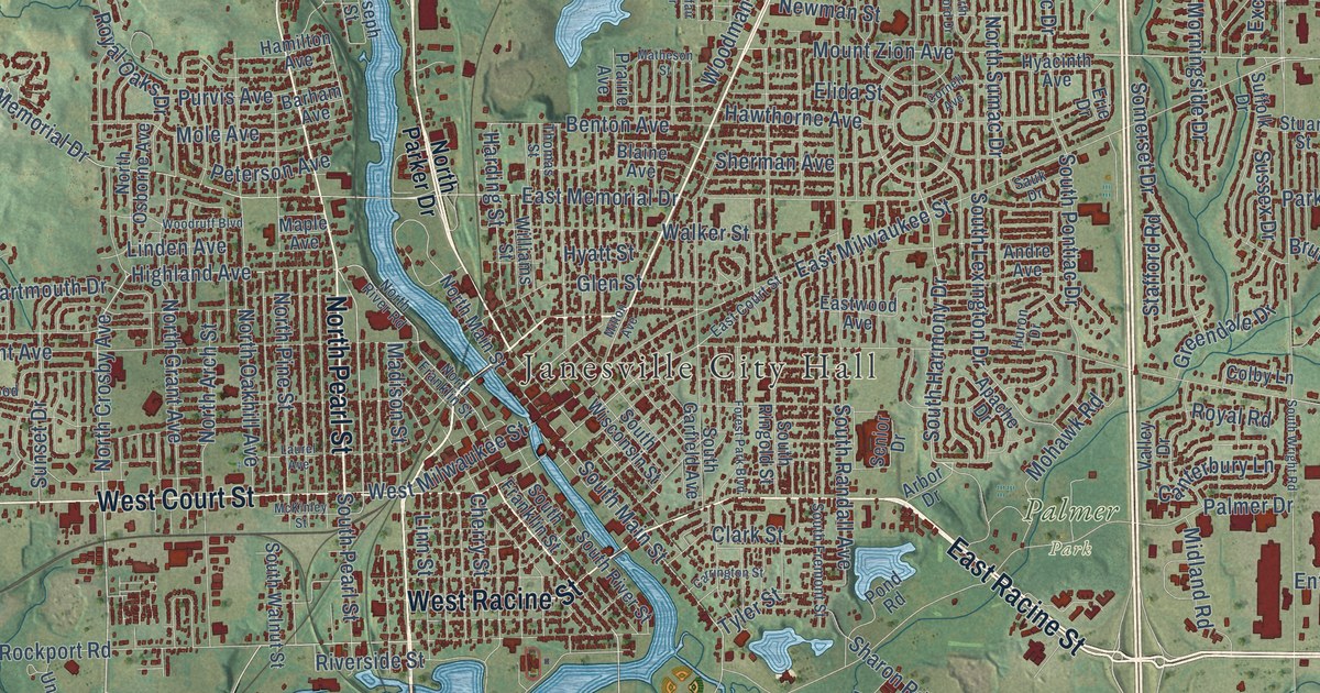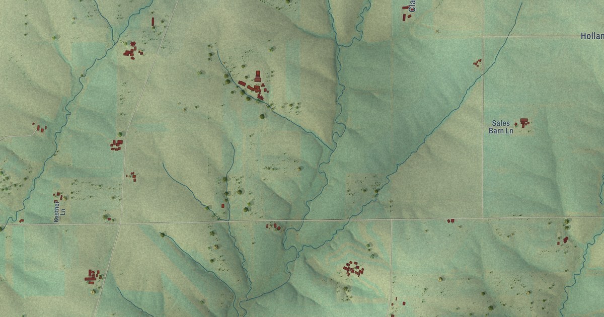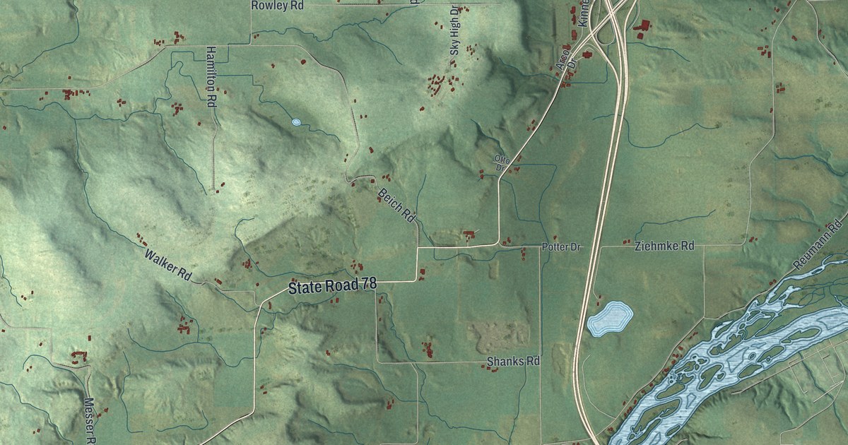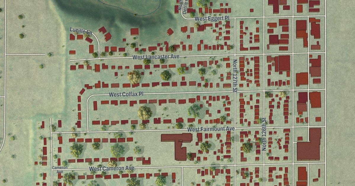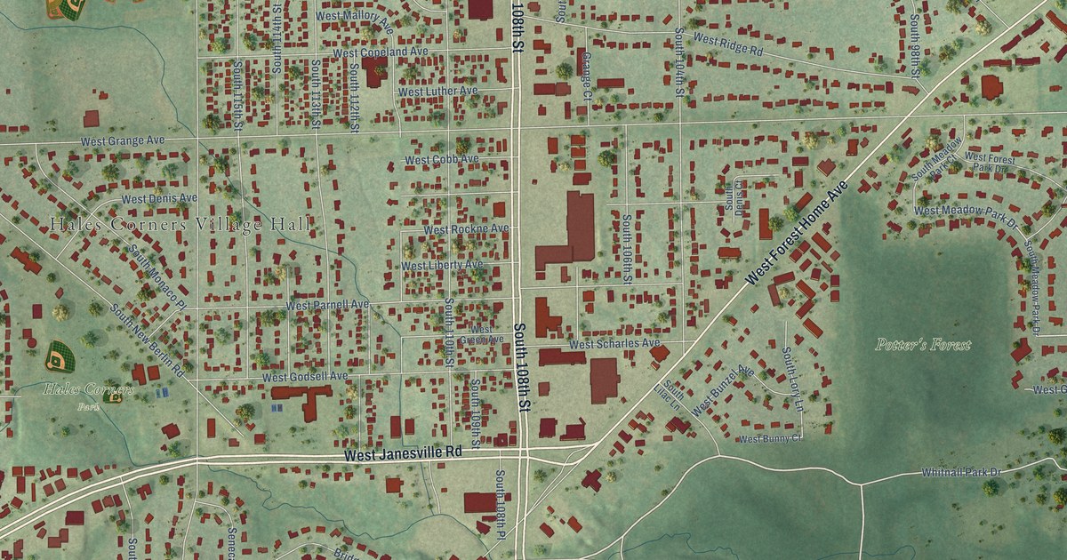
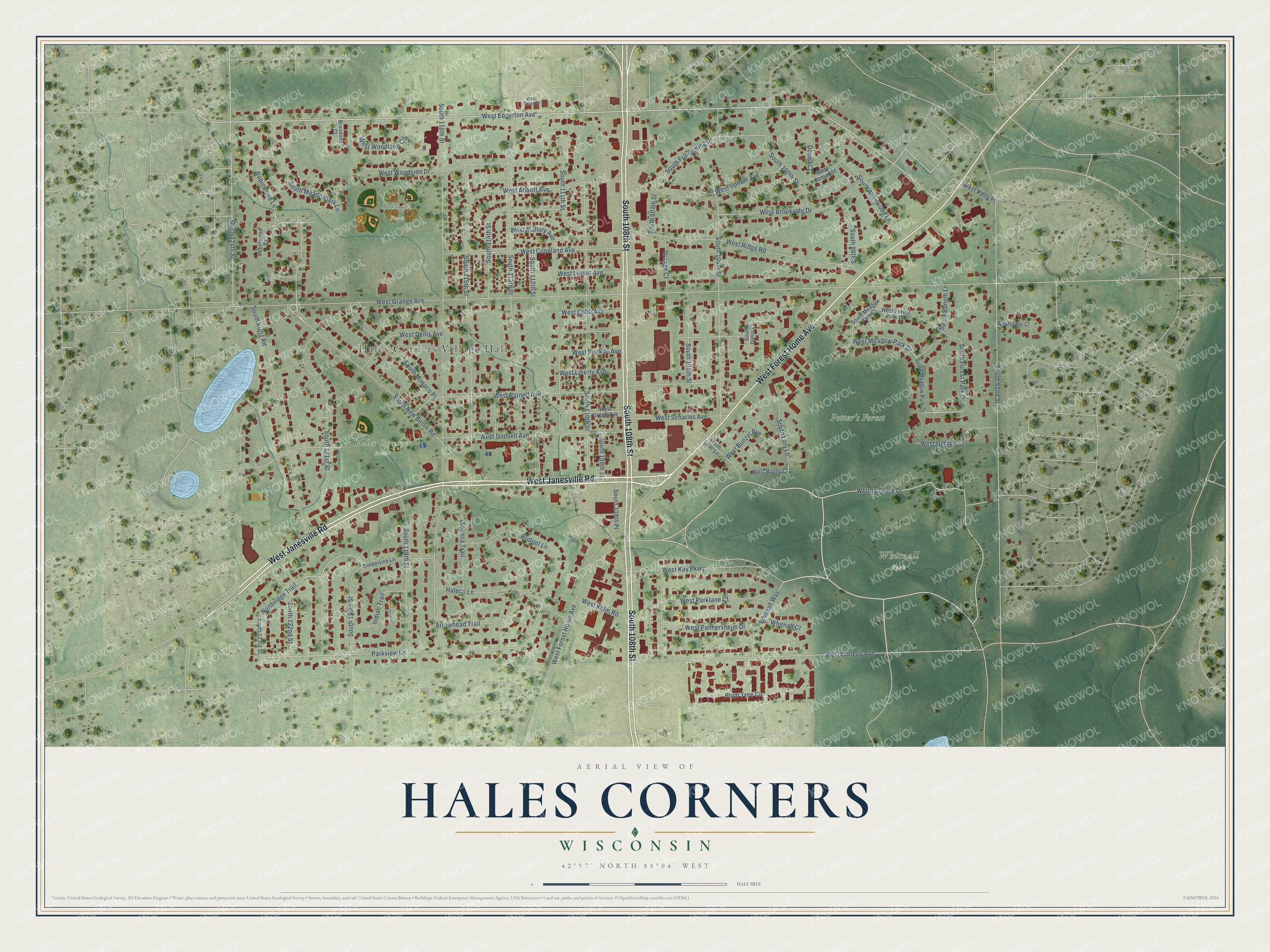
This beautifully detailed map of Hales Corners, Wisconsin was created in 2026 using aerial imagery combined with modern topographical, census, street and landmark data. It's a modern aerial view of Hales Corners in Milwaukee County, Wisconsin, that combines modern data with a vintage aesthetic. The roads feature printed names, and if you look closely you can find your exact house accurately shown in its correct location.
Explore an aerial view of Hales Corners, Wisconsin
On this map you'll find Hales Corners Village Hall, Hales Corners Park, Potter's Forest, Schoetz Park, Whitnall Park, West Janesville Road, South 108th Street, West Forest Home Avenue, Whitnall Park Drive, West Edgerton Avenue, Northridge Trail, South Forest Park Drive, and more. Each red shape is a building, so zoom in on the preview and look for yours.
Hales Corners is a village in Milwaukee County. The Census Bureau counted 7,720 people here in 2020. The map prints the town name in its title panel, with the coordinates below it.
Take a closer look at the Hales Corners map
Names on this map
These names are printed on this map.
Places: Hales Corners Village Hall, Hales Corners Park, Potter's Forest, Schoetz Park and Whitnall Park.
Streets and roads: West Janesville Road, South 108th Street, West Forest Home Avenue, Whitnall Park Drive, West Edgerton Avenue, Northridge Trail, South Forest Park Drive, West Meadow Park Drive, Parkview Lane, West College Avenue, South New Berlin Road, Plum Tree Circle.
More street names, A to Z
Arrowhead Trail, Brandons Court, Bridget Lane, Donna Court, Grange Court, Haleco Lane, Indian Trail, Robinwood Court, Robinwood Lane, Seneca Trail, South 92nd Street, South 98th Street, South 100th Street, South 104th Street, South 106th Street, South 107th Street, South 108th Place, South 109th Street, South 110th Street, South 111th Street, South 112th Street, South 113th Street, South 114th Street, South 115th Street, South 116th Street, South 118th Street, South 120th Street, South 121st Street, South 122nd Street, South 123rd Street, South 124th Street, South Allenwood Lane, South Bonnie Lane, South Denis Court, South Froemming Drive, South Kurtz Road, South Lilac Lane, South Lory Lane, South Meadowlark Lane, South Meadow Park Court, South Meadow Park Drive, South Monaco Place, Timberline Lane, West Abbott Avenue, West Brookside Drive, West Bunny Court, West Bunzel Avenue, West Cobb Avenue, West Conrad Street, West Copeland Avenue, West Denis Avenue, West Forest Park Drive, West Garden Court, West Godsell Avenue, West Grange Avenue, West Green Avenue, West Kay Parkway, West Kelly Place, West Kelm Road, West Liberty Avenue, West Luther Avenue, West Mallory Avenue, West Palmersheim Drive, West Parklane Court, West Parnell Avenue, West Ridge Road, West Rockne Avenue, West Scharles Avenue, West Talon Ci, West Upham Avenue, West Woodland Circle, West Woodside Drive, Whitnall Court, Whitnall Way, Wildflower Court.
Created by KNOWOL in 2026. The buildings are small red shapes, the roads carry their printed names, and shaded relief shows the shape of the land. The title panel reads "AERIAL VIEW OF HALES CORNERS, WISCONSIN" with 42°57' NORTH 88°04' WEST.
Hang it in the hallway, the office or the cabin, or give it to someone who left Hales Corners and still calls it home. Open the preview and look for a street you know. See sizes and frames for the Hales Corners map.