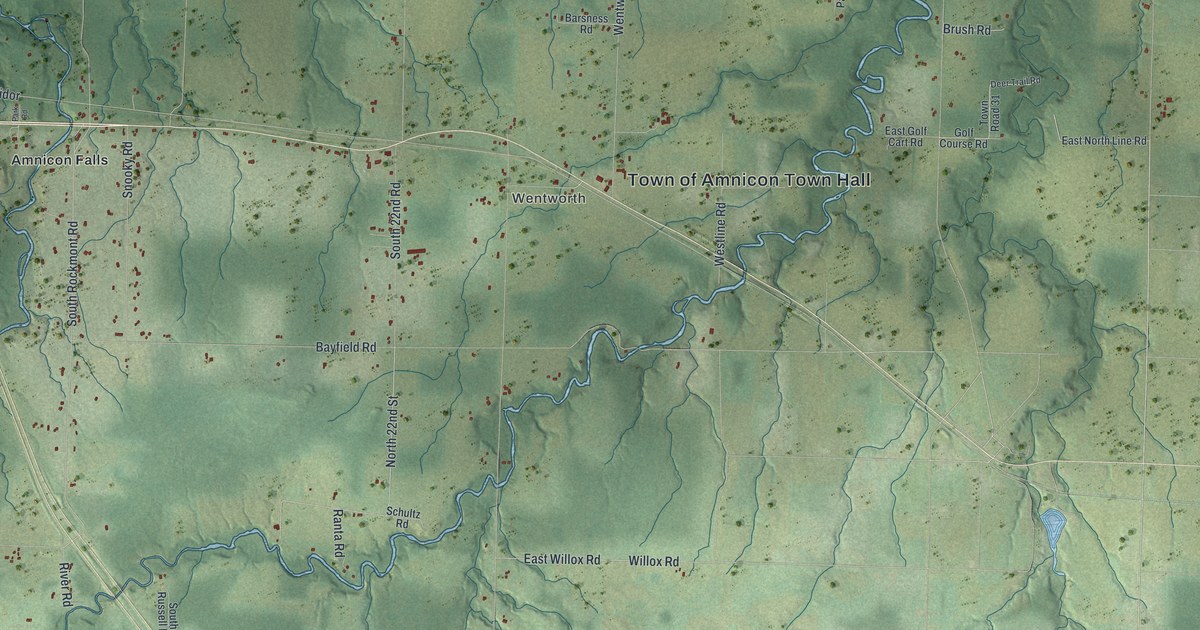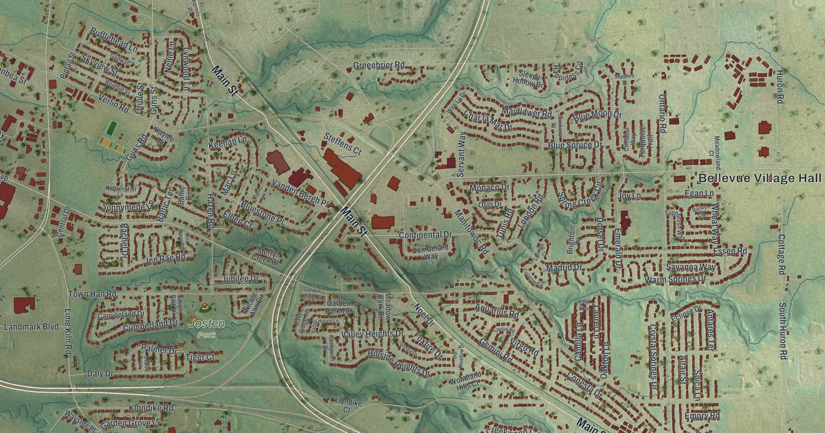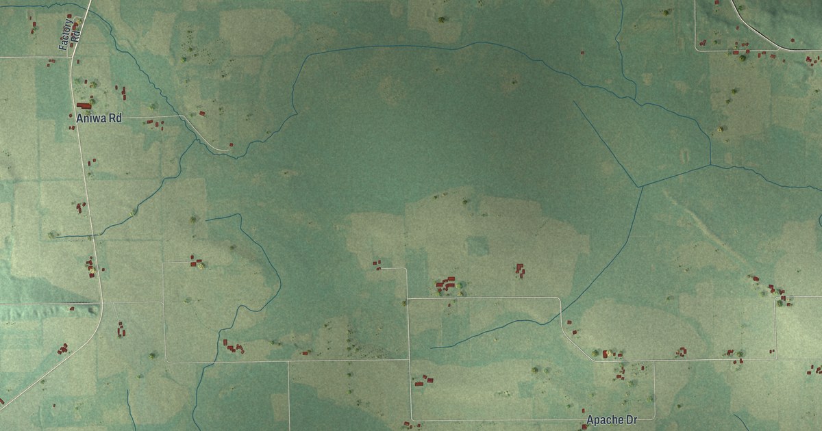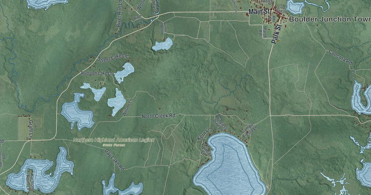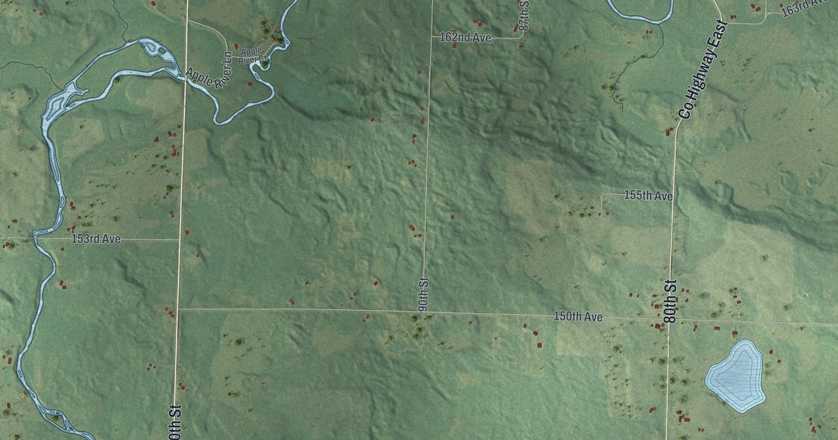
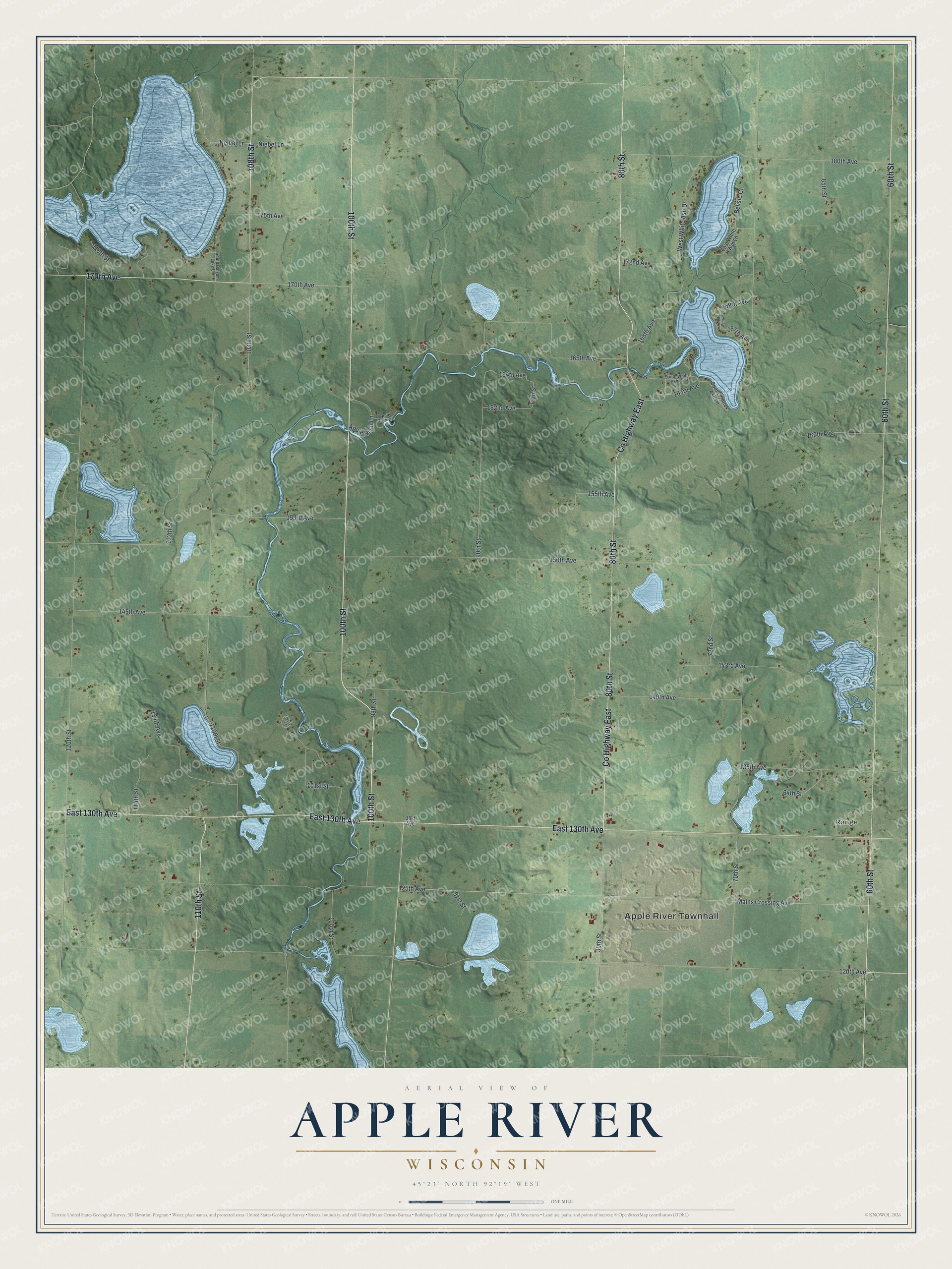
This beautifully detailed map of Apple River, Wisconsin was created in 2026 using aerial imagery combined with modern topographical, census, street and landmark data. It's a modern aerial view of Apple River in Polk County, Wisconsin, that combines modern data with a vintage aesthetic. The roads feature printed names, and if you look closely you can find your exact house accurately shown in its correct location.
Explore an aerial view of Apple River, Wisconsin
On this map you'll find Apple River Townhall, Range, 108th Street, East 130th Avenue, 60th Street, 100th Street, 80th Street, Co Highway East, 170th Avenue, 110th Street, 163rd Avenue, 120th Avenue, and more. Each red shape is a building, so zoom in on the preview and look for yours.
Apple River has a story worth telling. The W. H. C. Folsom puts it this way: "The town of Apple River includes township 34, range 16, and derives its name from its principal river."
Apple River is a town in Polk County. The Census Bureau counted 1,173 people here in 2020.
Take a closer look at the Apple River map
Names on this map
These names are printed on this map.
Places: Apple River Townhall and Range.
Streets and roads: 108th Street, East 130th Avenue, 60th Street, 100th Street, 80th Street, County Highway East, 170th Avenue, 110th Street, 163rd Avenue, 120th Avenue, 164th Avenue, 87th Street.
More street names, A to Z
31st Avenue, 64th Street, 65th Street, 70th Street, 72nd Street, 90th Street, 91st Street, 98th Street, 101st Circle, 101st Street, 113th Street, 114th Street, 118th Street, 120th Street, 125th Avenue, 134th Avenue, 135th Avenue, 140th Avenue, 143rd Avenue, 145th Avenue, 150th Avenue, 153rd Avenue, 155th Avenue, 160th Avenue, 162nd Avenue, 165th Avenue, 167th Avenue, 168th Avenue, 169th Avenue, 172nd Avenue, 175th Avenue, 180th Avenue, Apple River Court, Apple River Lane, Belisle Court, East White Ash Lane, Mains Crossing Avenue, Neibel Lane, Niebel Lane, South Balsam Lake Lane, South White Ash Court, South White Ash Lane, West White Ash Drive, White Ash Way.
Created by KNOWOL in 2026. The buildings are small red shapes, the roads carry their printed names, and shaded relief shows the shape of the land. The title panel reads "AERIAL VIEW OF APPLE RIVER, WISCONSIN" with 45°23' NORTH 92°19' WEST.
It looks right in a kitchen, an office or a den, and it's a gift for anyone who grew up in Apple River or moved away. Open the preview and find your street. See sizes and frames for the Apple River map.