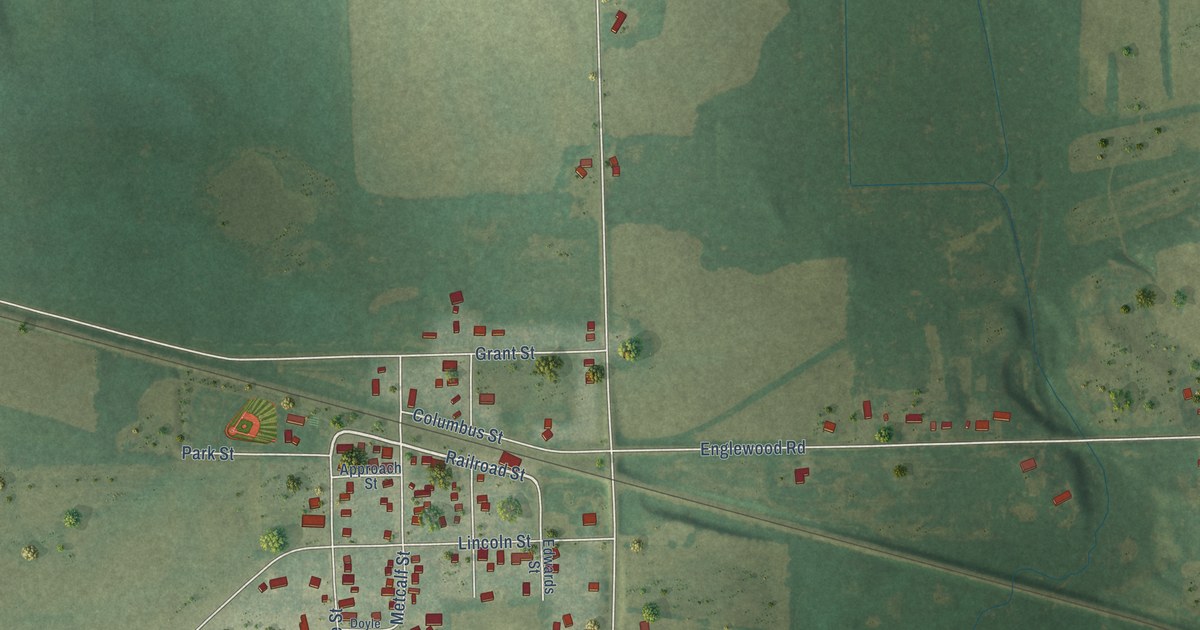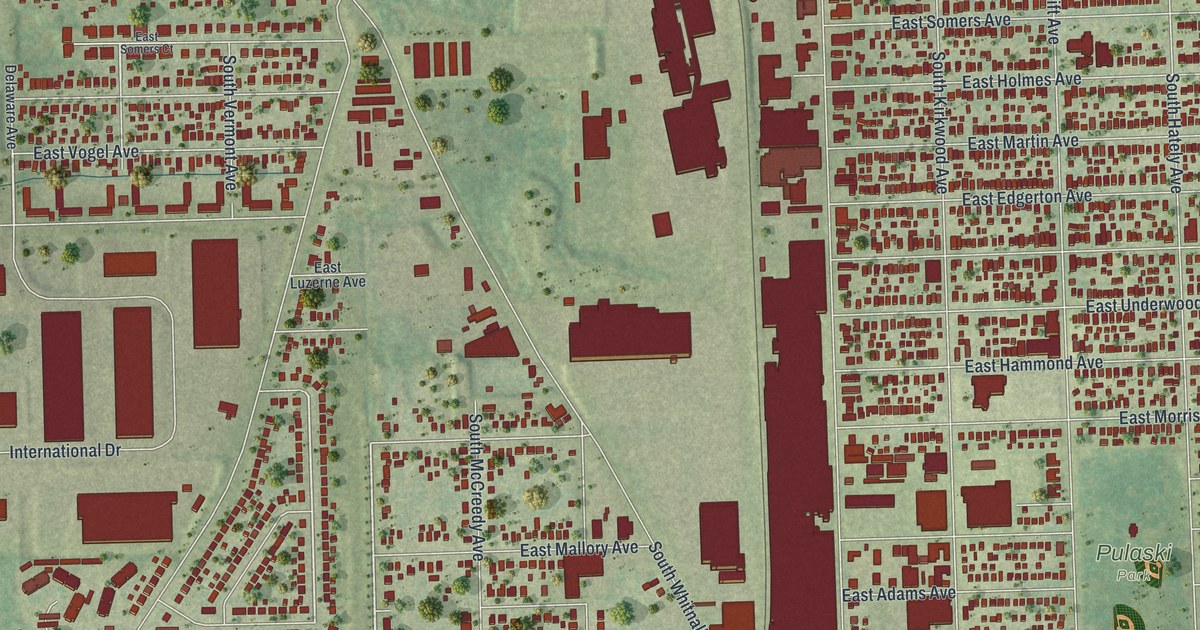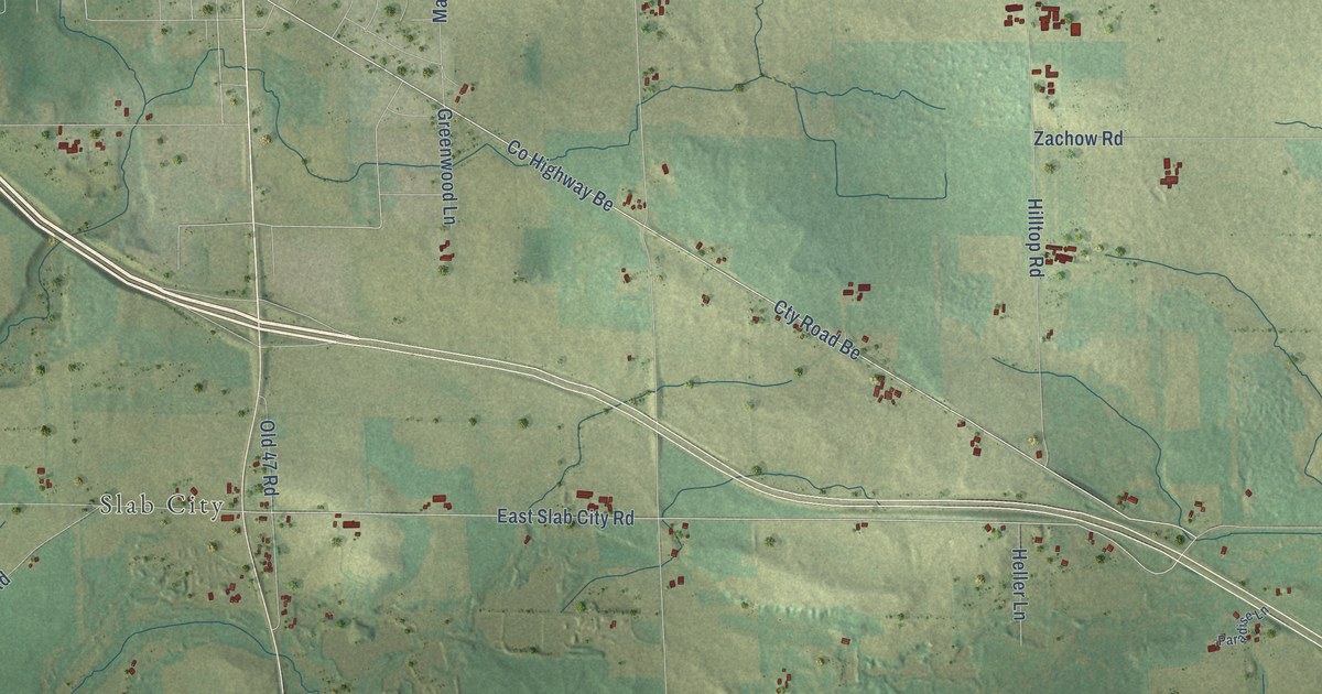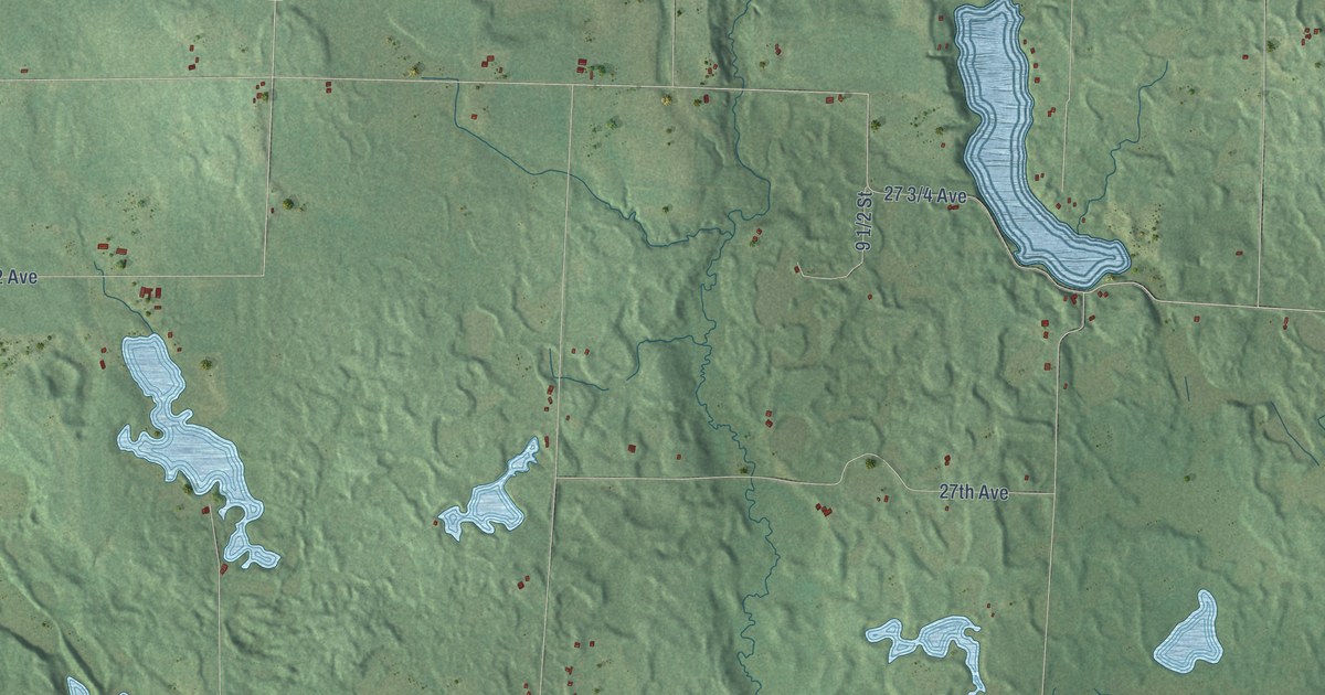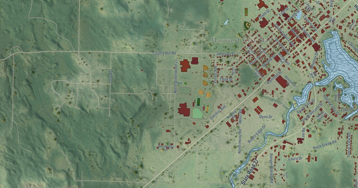
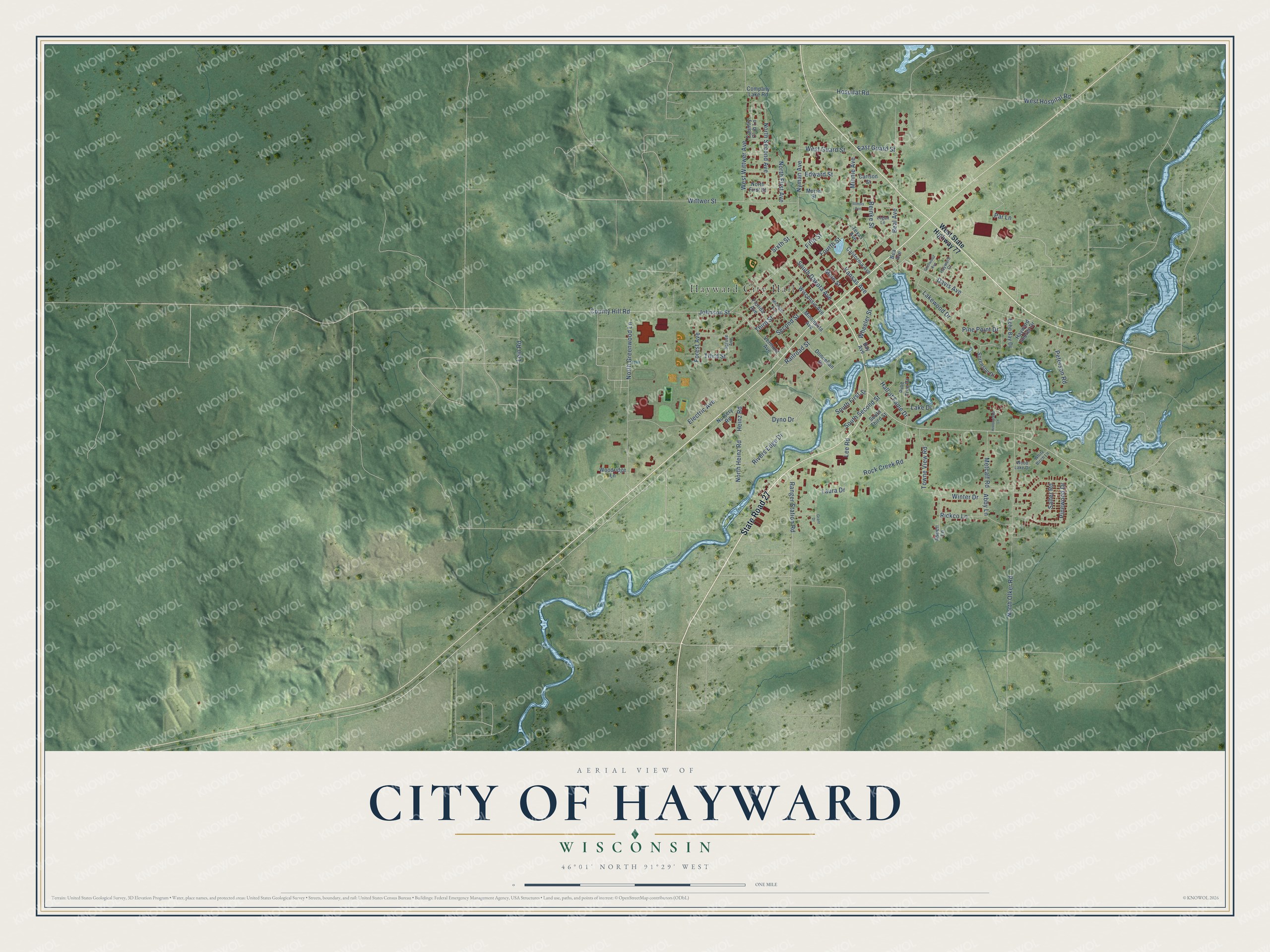
This beautifully detailed map of Hayward, Wisconsin was created in 2026 using aerial imagery combined with modern topographical, census, street and landmark data. It's a modern aerial view of Hayward in Sawyer County, Wisconsin, that combines modern data with a vintage aesthetic. The roads feature printed names, and if you look closely you can find your exact house accurately shown in its correct location.
Explore an aerial view of Hayward, Wisconsin
On this map you'll find Hayward City Hall, State Road 27, Ranger Station Road, Davis Avenue, North Second Avenue, Hospital Road, Johnson Street, Hall of Fame Drive, County Hill Road, Laura Drive, Dyno Drive, East Guard Street, and more. Each red shape is a building, so zoom in on the preview and look for yours.
Hayward is a city in Sawyer County. The Census Bureau counted 2,533 people here in 2020. The map prints the town name in its title panel, with the coordinates below it.
Take a closer look at the Hayward map
Names on this map
These names are printed on this map.
Places: Hayward City Hall.
Streets and roads: State Road 27, Ranger Station Road, Davis Avenue, North Second Avenue, Hospital Road, Johnson Street, Hall of Fame Drive, County Hill Road, Laura Drive, Dyno Drive, East Guard Street, Railroad Street.
More street names, A to Z
Abby Lane, Aspen Lane, Bay Avenue, Bea Avenue, Beal Avenue, California Avenue, Carlson Street, Company Lake Road, Country Club Lane, Donnellan Drive, Echo Bay Drive, Edward Street, Electric Avenue, Fifth Street, Florida Avenue, Forest Avenue, Fourth Street, Glenwood Avenue, Grant Drive, Hayward Court, Hayward Shores Drive, Heinz Road, Historyland Lane, Illinois Avenue, Kansas Avenue, Lake Drive, Lakewood Drive, Lee Road, Lein Road, Logan Lane, Main Street, Metcalf Road, Michigan Avenue, Minnesota Avenue, Minnie Avenue, Muriel Street, North First Avenue, North First Street, North Greenwood Lane, North Heinz Road, North Olker Road, Nursery Road, Nyman Avenue, Par Lane, Peterson Road, Pine Point Drive, Pine Tree Drive, Pinewood Drive, Reinke Street, Rickco Lane, Rivers Edge Drive, Rock Creek Road, Salter Road, Second Street, Sixth Street, Sorenson Drive, South Dakota Avenue, South First Street, South Second Street, South Third Street, Spruce Avenue, Texas Avenue, Third Street, Towne View Road, Vermont Avenue, West Guard Street, West Hospital Road, West State Highway 77, West Wittwer Avenue, Wheeler Street, White Birch Lane, Winter Drive, Wisconsin Avenue, Wittwer Street, Wood Lake Drive, Woodridge Lane.
Created by KNOWOL in 2026. The buildings are small red shapes, the roads carry their printed names, and shaded relief shows the shape of the land. The title panel reads "AERIAL VIEW OF CITY OF HAYWARD, WISCONSIN" with 46°01' NORTH 91°29' WEST.
It looks right in a kitchen, an office or a den, and it's a gift for anyone who grew up in Hayward or moved away. Open the preview and find your street. See sizes and frames for the Hayward map.