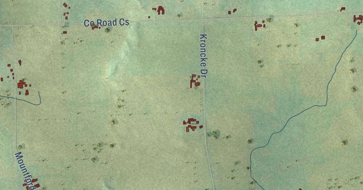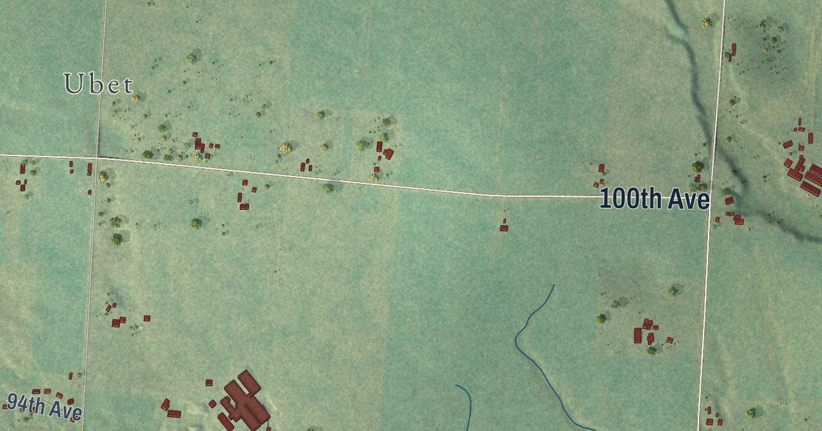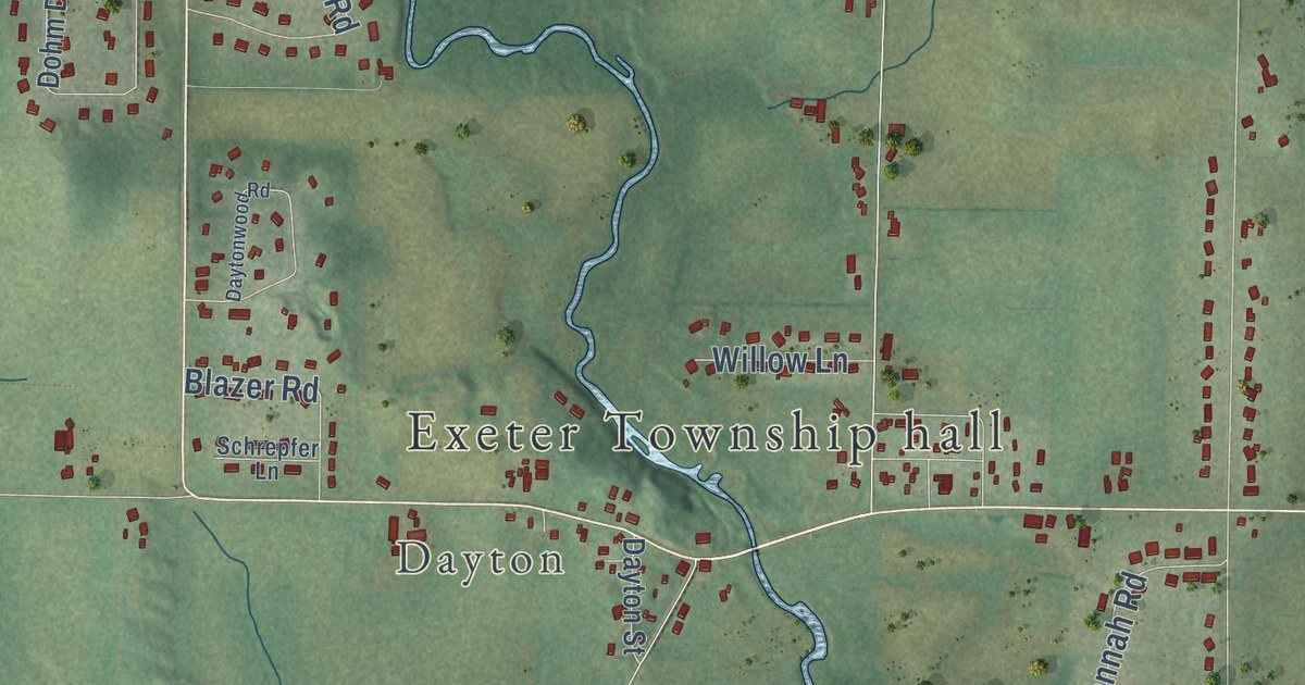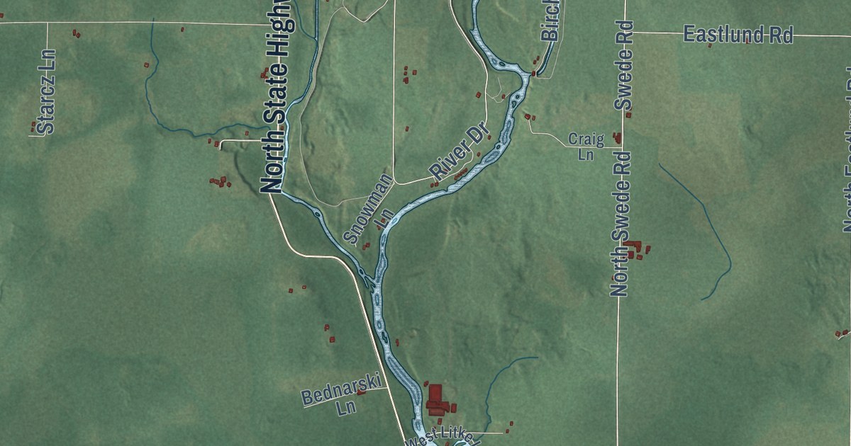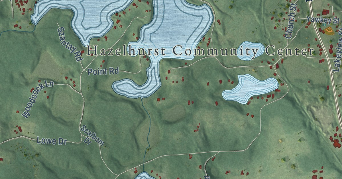
This beautifully detailed map of Hazelhurst, Wisconsin was created in 2026 using aerial imagery combined with modern topographical, census, street and landmark data. It’s a one-of-a-kind view of Hazelhurst that combines accurate data with a vintage aesthetic. The map shows every building in its true location, many of the roads carry their names, and the shaded topographic relief shows the shape of the land.
Explore an aerial view of Hazelhurst, Wisconsin
On the map you’ll find Hazelhurst Community Center, along with Main Street, Church Street, Sylvan Shore Road, Sylvan Shore Drive, Cedar Falls Road, Lower Kaubashine Road, Lakewood Road, Oak Drive, Oak Road, Interlocken Road, Mill Road, and more. If you look closely you can even find your house accurately drawn in its correct location. Zoom in on the preview to look for yours.
Did you know this piece of Hazelhurst, Wisconsin history?
From the History of Lincoln Oneida and Vilas Counties: "The place was formerly known as Hazelhurst Junction, on account of the fact that the Hazelhurst & Southeastern road, a logging railway, was built out to connect with the Northwestern so that the lumbermen might have a shipping point on the latter as well as on the St. Paul road."
Take a closer look at the Hazelhurst map
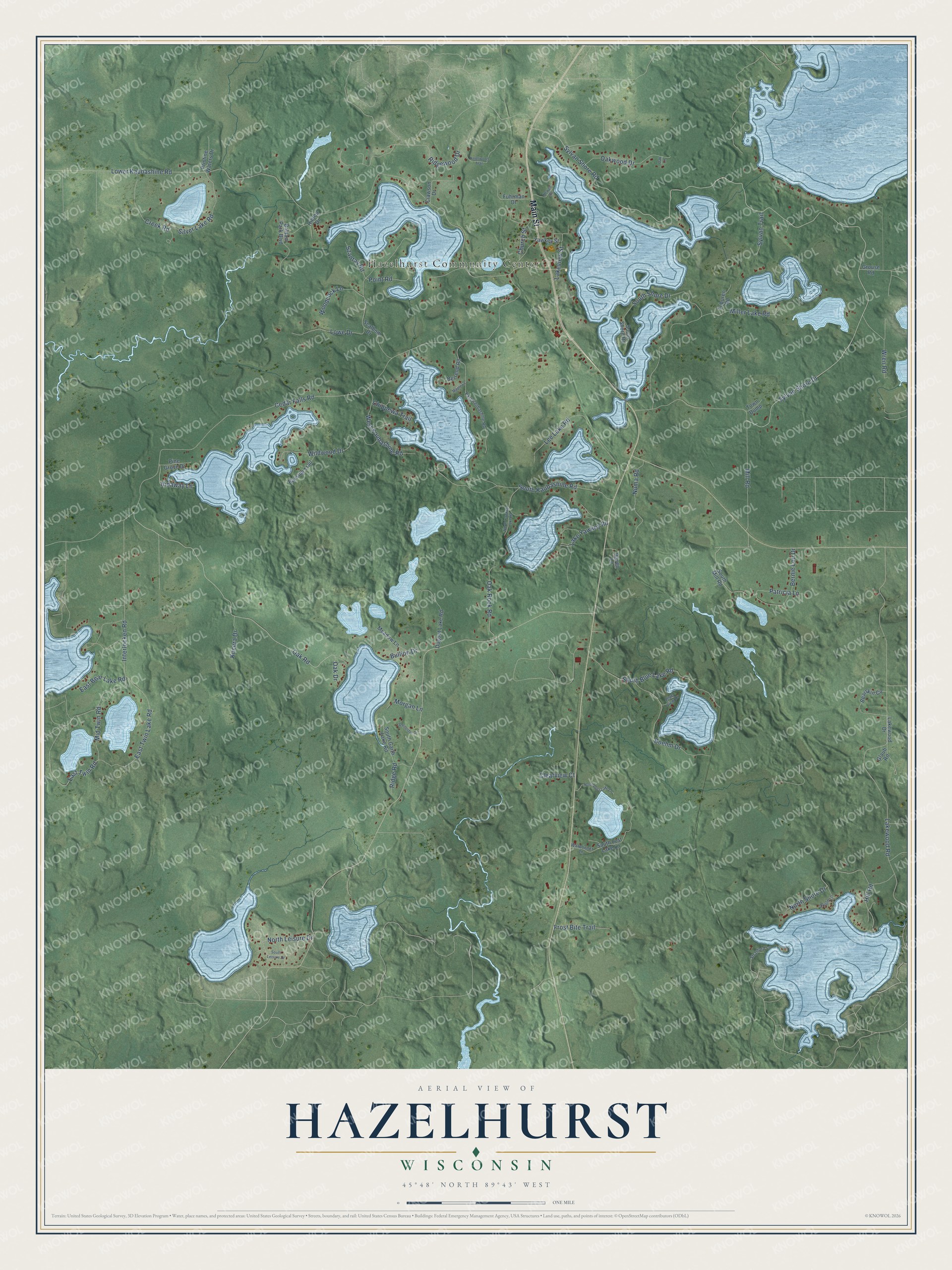
Street and place names on the Hazelhurst, Wisconsin map
These names are printed on the map of Hazelhurst, Wisconsin.
Places: Hazelhurst Community Center.
Streets and roads: Main Street, Church Street, Sylvan Shore Road, Sylvan Shore Drive, Cedar Falls Road, Lower Kaubashine Road, Lakewood Road, Oak Drive, Oak Road, Interlocken Road, Mill Road, South Shore Drive.
More street names, A to Z
Balsam Park Boulevard, Bayside Trail, Bearskin Circle, Bernie Lou Drive, Berrend Road, Blue View Drive, Boehm Drive, Bullion Drive, Chippewa Trail, Clawson Drive, Clearview Court, Creek Road, Dugout Lake Road, East Bear Lake Road, East Kaubashine Road, East Twin Lake Road, East Twin Road, Frost Bite Trail, Fuhrman Drive, Glaub Road, Grouse Road, Hidaway Lane, Hill Road, Hilltop Drive, Knollwood Trail, Kucera Drive, Lakeview Street, Lakewood Drive, Lake Yawkey Road, Lee Lake Road, Lowe Drive, Maple Lane, Meadow Lane, Mid Twin Road, Miller Lake Road, Morgan Lane, Newell Road, North Leisure Drive, North Lost Lake Lane, North Shore Drive, North Yawkey Lake Road, Numa Road, Oak Lane, Oak Rock Road, Oakwood Drive, Oriole Lane, Patricia Lane, Pine Grove Drive, Point Road, Pristine Waters Drive, Raven Lane, Ridge Road, Ridgewood Drive, Scalbom Drive, Schneider Drive, Silver Lake Road, South Blue Lake Road, South Garth Lake Road, South Kaubashine Road, South Leisure Drive, South Lost Lake Lane, South Mill Road, South Shore Road, Stratford Lane, Sylvan Trail, Szantay Road, Toburen Road, Town Dump, Warbonnet Lane, West Kaubashine Road, Wildwood Drive, Woodcock Lane, Wren Road, Yawkey Street.
See the Hazelhurst, Wisconsin map on a wall
The Hazelhurst map as an 18 x 24 inch print in a black frame.

This beautifully detailed map of Hazelhurst makes an attractive addition to your office, library, or den, and it can even be used to teach children the geography and history of the area. It also makes a great gift for anyone with Hazelhurst roots. When you’re done exploring, click here to get your copy of the Hazelhurst map.