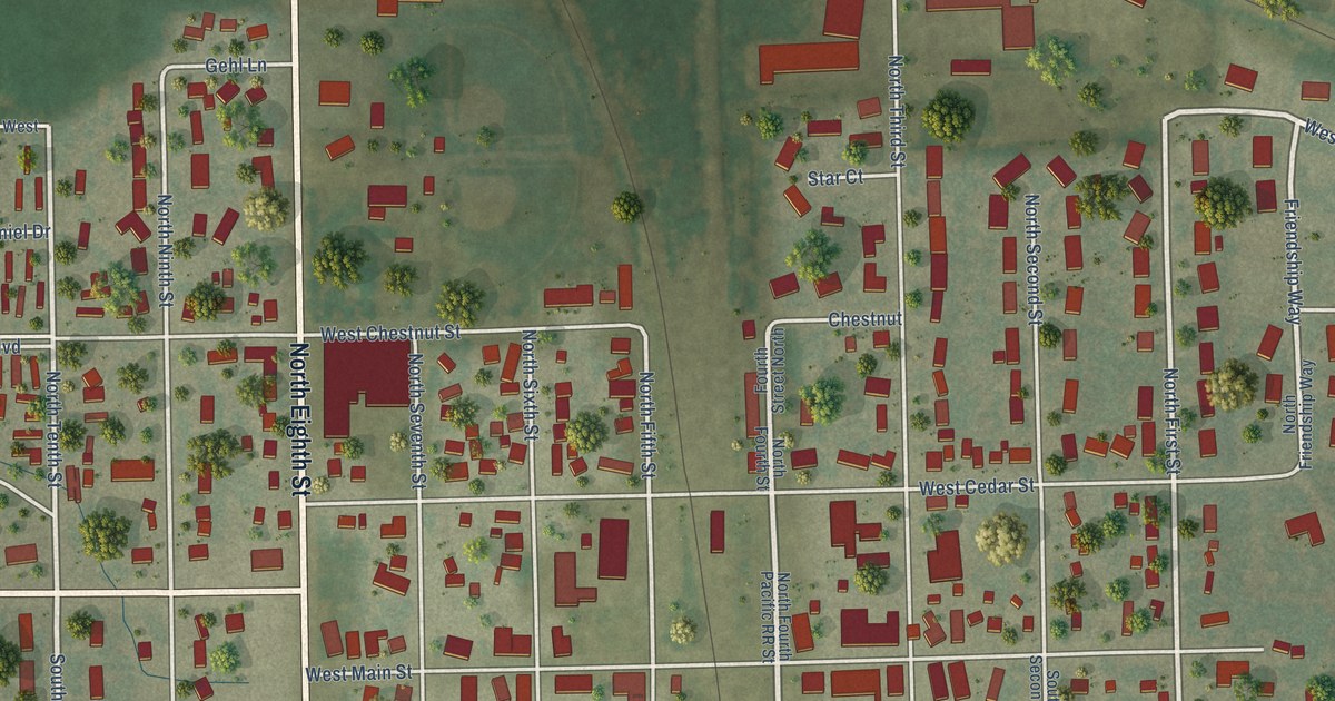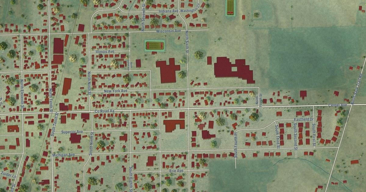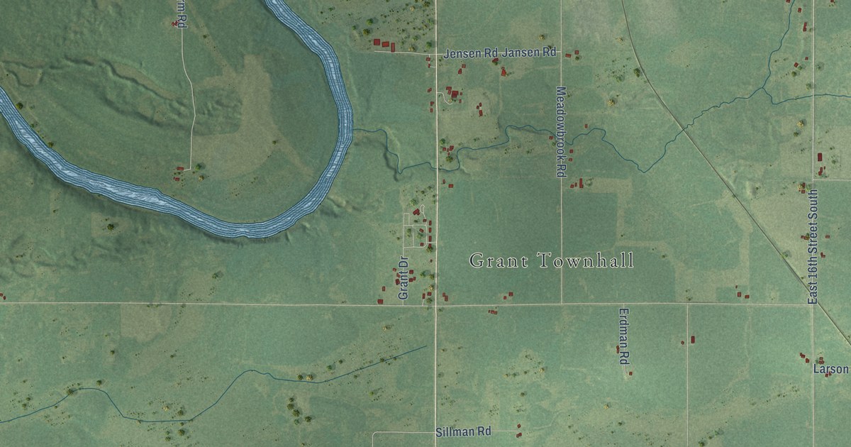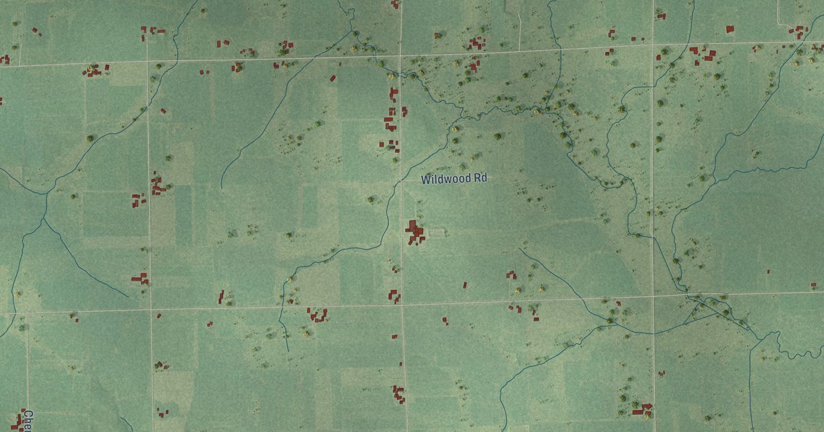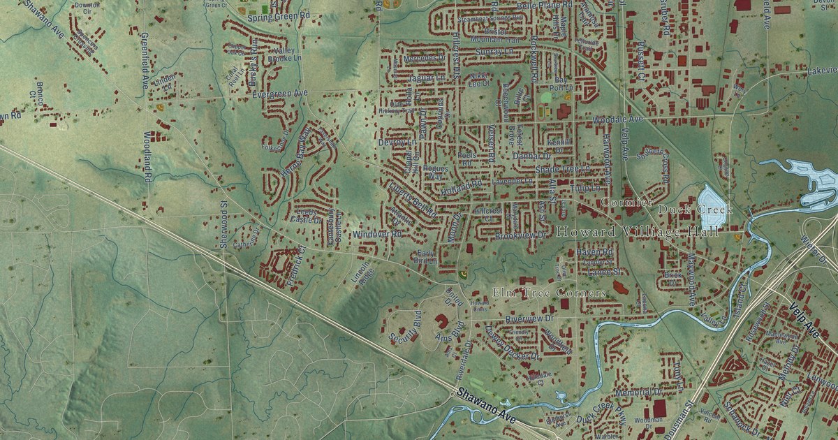
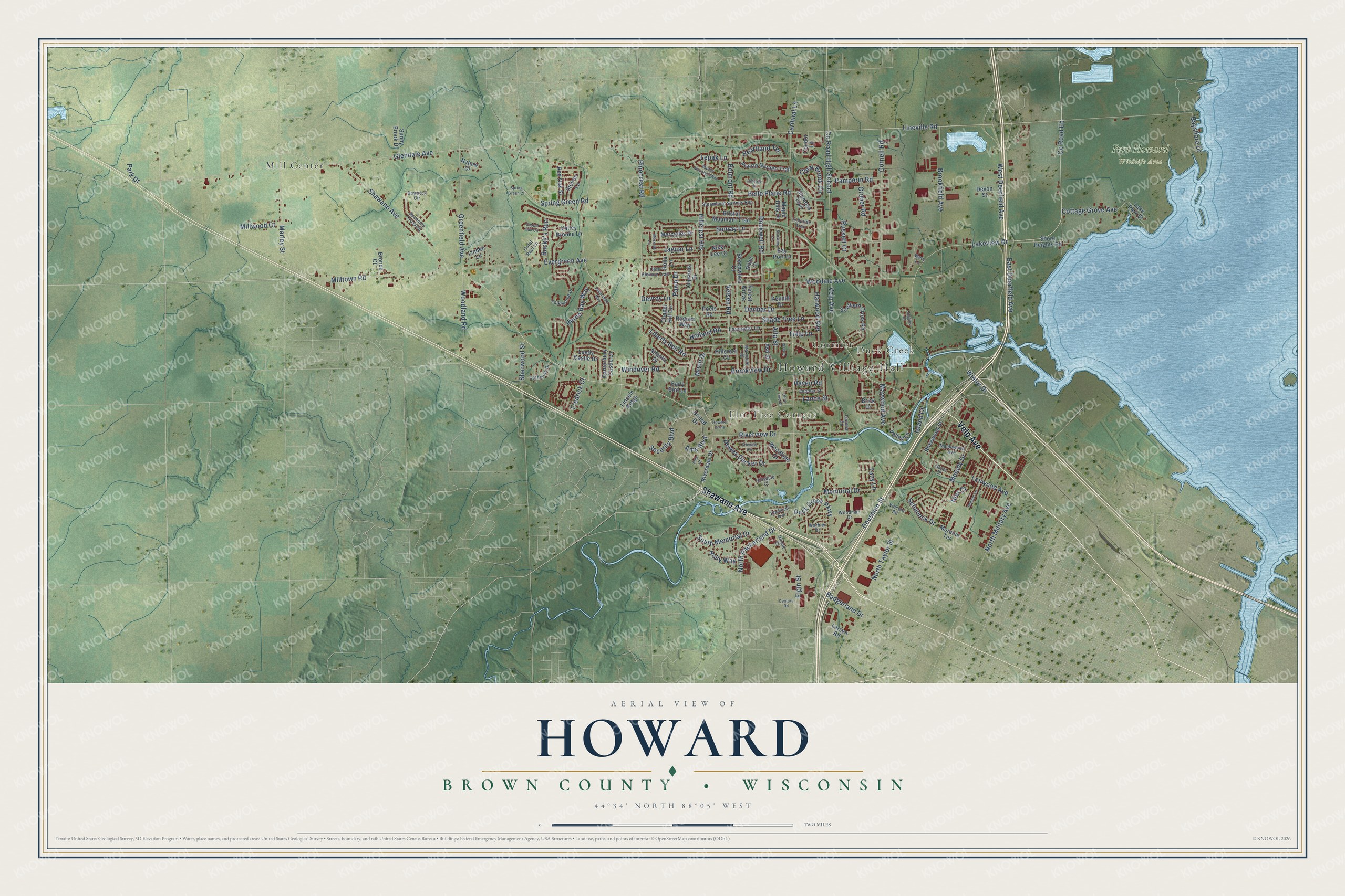
This beautifully detailed map of Howard, Wisconsin was created in 2026 using aerial imagery combined with modern topographical, census, street and landmark data. It's a modern aerial view of Howard in Brown County, Wisconsin, that combines modern data with a vintage aesthetic. The roads feature printed names, and if you look closely you can find your exact house accurately shown in its correct location.
Explore an aerial view of Howard, Wisconsin
On this map you'll find Howard Villiage Hall, Mill Center, Elm Tree Corners, Duck Creek, Cormier, Fort Howard Wildlife Area, Velp Avenue, Shawano Avenue, Lakeview Drive, Marley Street, Glendale Avenue, Greenfield Avenue, and more. Each red shape is a building, so zoom in on the preview and look for yours.
Here is a piece of Howard history, in the words of the record. The History of Brown County puts it this way: "Upon the admission of Wisconsin to the Union in 1848, a new town was set off from Howard and named Lawrence in honor of Amos A. Lawrence, founder of the university at Appleton."
Howard is a village in Brown County. The Census Bureau counted 19,950 people here in 2020.
Take a closer look at the Howard map
Names on this map
These names are printed on this map.
Places: Howard Villiage Hall, Mill Center, Elm Tree Corners, Duck Creek, Cormier and Fort Howard Wildlife Area.
Streets and roads: Velp Avenue, Shawano Avenue, Lakeview Drive, Marley Street, Glendale Avenue, Greenfield Avenue, County Road Eb, Woodland Road, Duck Creek Parkway, Belle Plane Road, Herne Bay Way, Badgerland Drive.
More street names, A to Z
Alamosa Trail, Alta Street, Ams Boulevard, Ams Court, Arch Street, Ash Street, Atlantis Drive, Bay Port Lane, Bayshore Drive, Beechwood Court, Belmont Road, Billie Court, Brick Drive, Bristol Mountain Trail, Bronco Court, Brookfield Avenue, Brookview Drive, Bucky's Run, Canterbury Castle Lane, Cardinal Lane, Catherine Drive, Century Road, Chapel Hill Circle, Clear Brook Circle, Coggins Court, Condor Lane, Copper Oak Circle, Coprinus Drive, Coral Reef Lane, Cornell Road, Cottage Grove Avenue, County Road High School, Danbar Drive, Delvoye Court, Devon Street, Devroy Lane, Dewey Decker Drive, Dousman Street, Downton Circle, Early Bird Lane, East Deerfield Avenue, Elgin Street, Elmhurst Avenue, Evergreen Avenue, Faversham Way, Folkestone Drive, Forest Grove, Fredrick Court, Friendly Circle, Gruber Road, Harwood Avenue, Haven Road, Hazel Court, Heartland Terrace, Hillcrest Court, Hillcrest Heights, Hillsdale Court, Holland Road, Holly Way, Howard Cmns, Island Court, Jaguar Lane, Kenhill Drive, Lacona Court, Lake Park Street, Lance Street, Landler Street, Larsen Road, Lavender Lane, Leeds Castle Drive, Lenwood Avenue, Lepak Lane, Liberty Bell Road, Lincoln Ridge, Linden Lane, Lineville Road, Maple Hills Drive, Maplewood Avenue, Marble Mountain Way, Marydale Drive, Maserati Lane, Maywood Avenue, Melody Drive, Memorial Drive, Mercedes Drive, Milltown Road, Millwood Court, Moon Drive, Moraine Terrace, Nature Court, Nier Court, Nikki Lee Court, North Military Avenue, North Packerland Drive, North Taylor Street, Olde Hickory Trail, Olive Tree Drive, Pamperin Road, Park Drive, Pawn Drive, Pinecrest Road, Poels Road, Prairie Garden Trail, Red Oak Street, Riverdale Drive, Riverview Drive, Rockwell Road, Rogues Way, Roland Lane, Rolla Lane, Rosewood Street, Russett Court, Schanock Drive, Security Boulevard, Shade Tree Lane, Sherwood Street, Shore Heights Road, Southern Cross Road, South Memorial Drive, Spencers Crossing, Spring Green Court, Spring Green Road, Starview Lane, Steamboat Springs Run, Steiner Lane, Sunny Brook Drive, Sunray Lane, Telluride Trail, Tony Lane, Tulip Lane, Ullmer Court, United Drive, Valley Brooke Lane, Valley Lane, Velsen Road, Vincent Road, Warbler Drive, Wery Lane, West Deerfield Avenue, Wietor Drive, Windover Road, Woodale Avenue, Woodfield Drive, Woodman Drive.
Created by KNOWOL in 2026. The buildings are small red shapes, the roads carry their printed names, and shaded relief shows the shape of the land. The title panel reads "AERIAL VIEW OF HOWARD, BROWN COUNTY • WISCONSIN" with 44°34' NORTH 88°05' WEST.
It suits a den, a classroom or a front hall, and it makes a gift for anyone with Howard roots. Open the preview and find the block you know. See sizes and frames for the Howard, Brown County map.