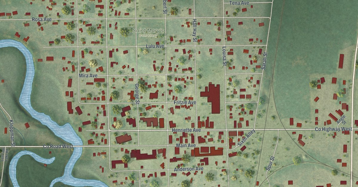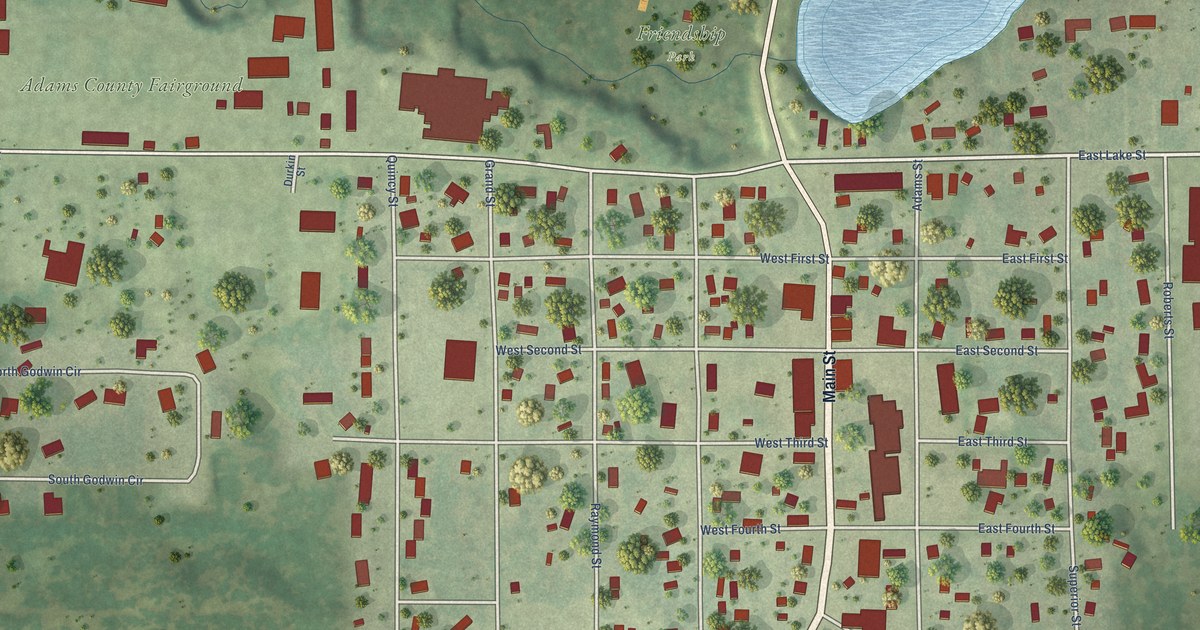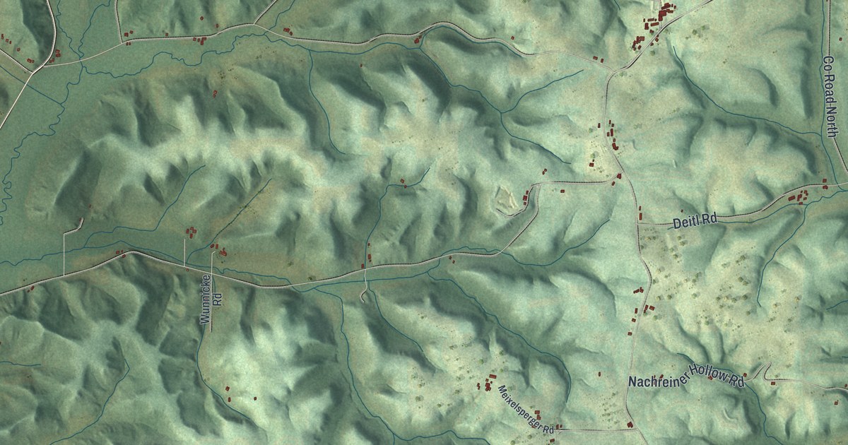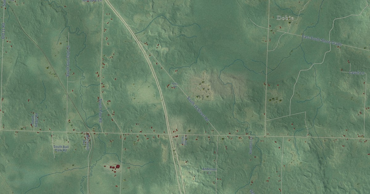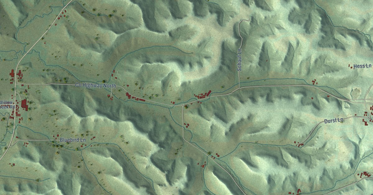
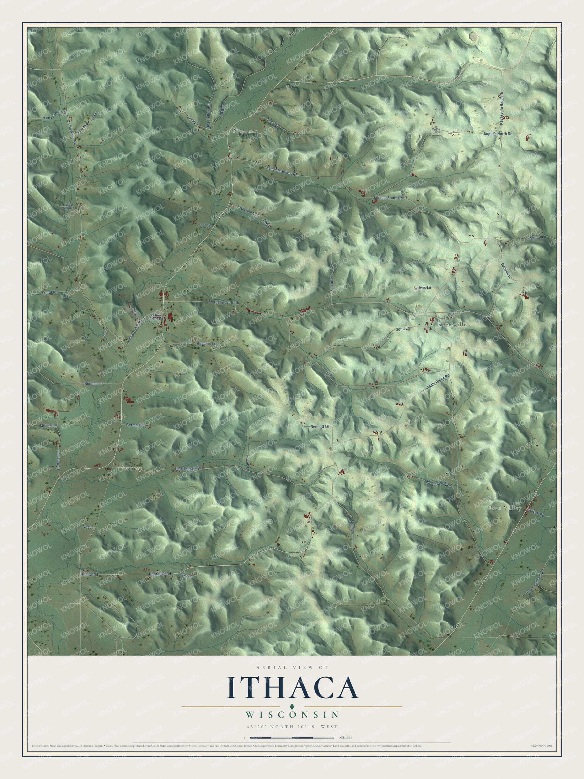
This beautifully detailed map of Ithaca, Wisconsin was created in 2026 using aerial imagery combined with modern topographical, census, street and landmark data. It's a modern aerial view of Ithaca in Richland County, Wisconsin, that combines modern data with a vintage aesthetic. The roads feature printed names, and if you look closely you can find your exact house accurately shown in its correct location.
Explore an aerial view of Ithaca, Wisconsin
On this map you'll find Bear Valley, Aubrey, Neptune, Keyesville, Canyon Drive, Apple Ridge Road, Nebraska Road, Hollow Road, Jaquish South Road, Co Highway North, Keyesville Ridge Drive, Hell Hollow Road, and more. Each red shape is a building, so zoom in on the preview and look for yours.
Every town has a first chapter, and Ithaca is no exception. The History of Crawford and Richland Counties puts it this way: "The first mass in the town of Ithaca was held by Father Max Gardner, at the house of William Misslich, in November, 1856, and this finally resulted in the organization of St. Mary's Catholic Church."
Ithaca is a town in Richland County. The Census Bureau counted 633 people here in 2020.
Take a closer look at the Ithaca map
Names on this map
These names are printed on this map.
Places: Bear Valley, Aubrey, Neptune and Keyesville.
Streets and roads: Canyon Drive, Apple Ridge Road, Nebraska Road, Hollow Road, Jaquish South Road, County Highway North, Keyesville Ridge Drive, Hell Hollow Road, Jaquish North Road, County Highway Nn, Jaquish Hollow Road, Munz Drive.
More street names, A to Z
Benben Lane, Bennett Lane, Bluebird Lane, Brown Church Drive, Clear Springs Lane, Devine Lane, Divine Lane, Dog Hollow Road, Durst Lane, German Lane, Glory Ridge Lane, Hess Lane, Huffman Lane, Ithaca Heights Lane, Jacob Lane, Jeffers Lane, Lorena Lane, Louis Lane, McAvoy Hill Road, Mellen Lane, Nee Lane, Nelson Lane, Roger Drive, Schauf Lane, Spiral Road, Tn Road 44, Tony Lane, Walnut Lane, Weitzel Road, West Willow Lane, Wiedenfield Lane, Willow Creek Drive, Willow Creek Road.
Created by KNOWOL in 2026. The buildings are small red shapes, the roads carry their printed names, and shaded relief shows the shape of the land. The title panel reads "AERIAL VIEW OF ITHACA, WISCONSIN" with 43°20' NORTH 90°15' WEST.
Hang it in the hallway, the office or the cabin, or give it to someone who left Ithaca and still calls it home. Open the preview and look for a street you know. See sizes and frames for the Ithaca map.