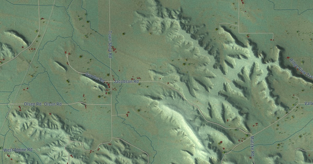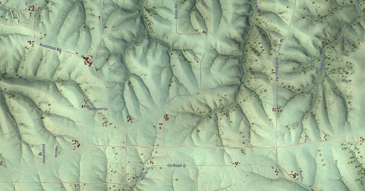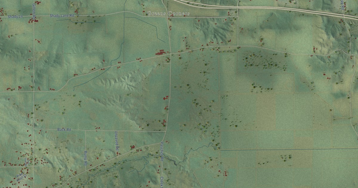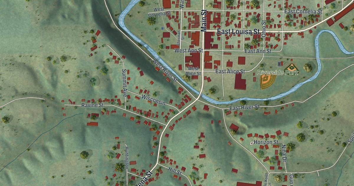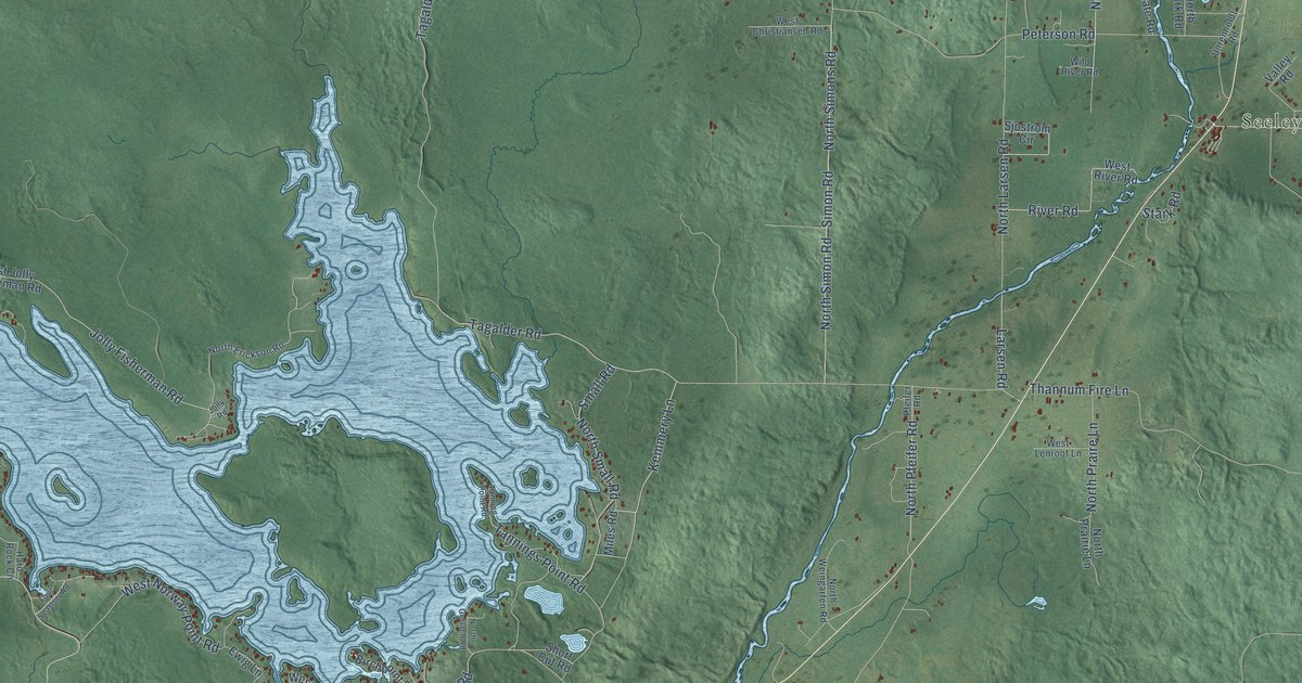
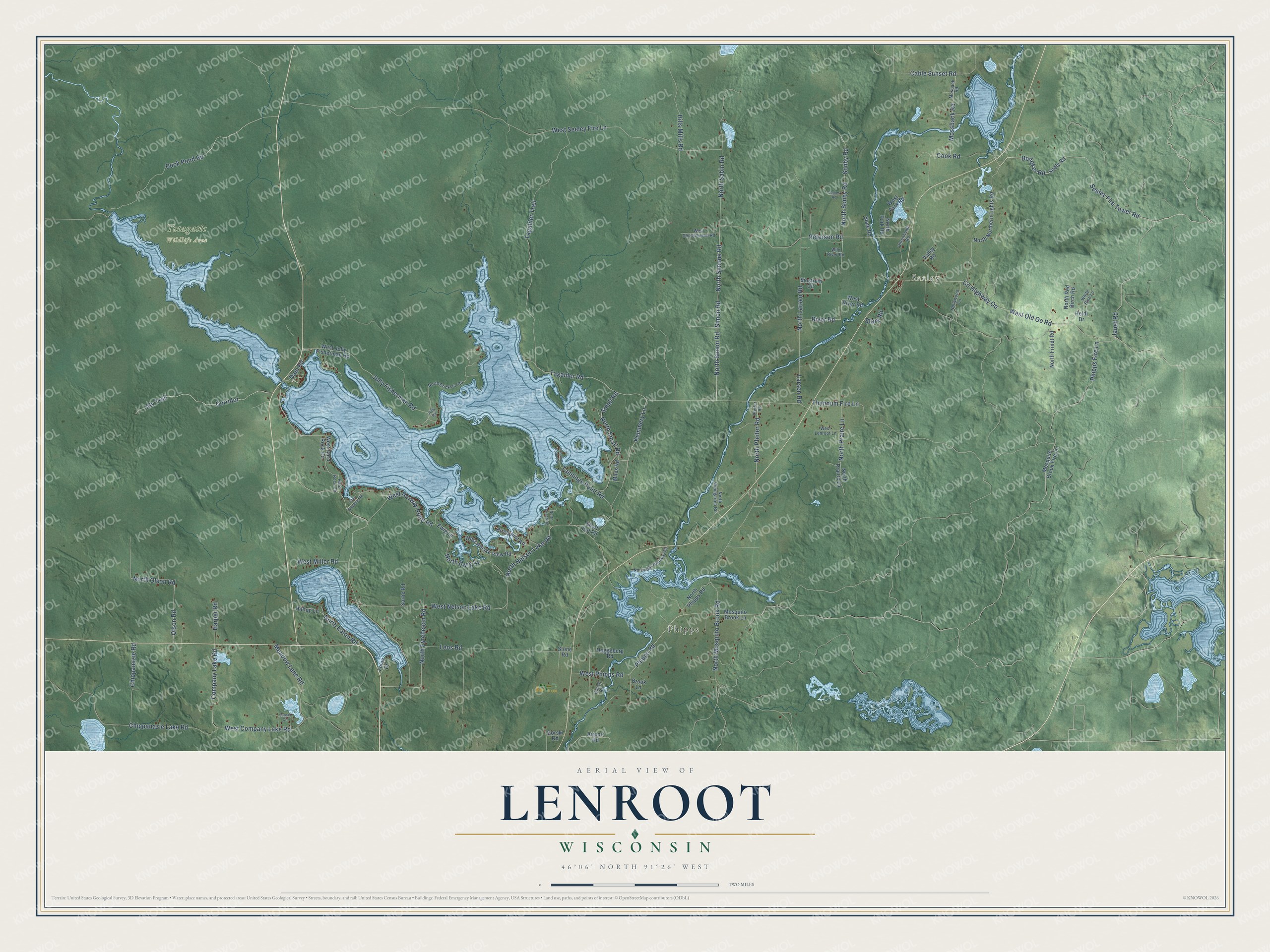
This beautifully detailed map of Lenroot, Wisconsin was created in 2026 using aerial imagery combined with modern topographical, census, street and landmark data. It's a modern aerial view of Lenroot in Sawyer County, Wisconsin, that combines modern data with a vintage aesthetic. The roads feature printed names, and if you look closely you can find your exact house accurately shown in its correct location.
Explore an aerial view of Lenroot, Wisconsin
On this map you'll find Seeley, Phipps, Totagatic Wildlife Area, Seeley Fire Tower Road, Kemmery Lane, Bodeker Road, Tagalder Road, Simon Road, Jolly Fisherman Road, Mossback Road, Janet Road, Phipps Road, and more. Each red shape is a building, so zoom in on the preview and look for yours.
Lenroot is a town in Sawyer County. The Census Bureau counted 1,337 people here in 2020. The map prints the town name in its title panel, with the coordinates below it.
Take a closer look at the Lenroot map
Names on this map
These names are printed on this map.
Places: Seeley, Phipps and Totagatic Wildlife Area.
Streets and roads: Seeley Fire Tower Road, Kemmery Lane, Bodeker Road, Tagalder Road, Simon Road, Jolly Fisherman Road, Mossback Road, Janet Road, Phipps Road, North Nelson Lake Road, West Old Oo Road, West Company Lake Road.
More street names, A to Z
Airport Road, Atv Trail, Birchpoint Road, Brook Lane, Cable Sunset Road, Chippanazie Lake Road, Chippanazie Road, Company Lake Road, Cook Road, Corridor, County Highway Oo, Dam Road, Duck Pond Road, Ewig Lane, Foley Drive, Four Seasons Road, Gauch Road, Gorski Road, Haggeberg Road, Hard Rock Circle, Harper Road, Heidi Drive, Hills Mills Road, Hilltop Lane, Hollywood Lane, James Road, Jolly Road, Larsen Road, Leos Road, Meadow Lane Road, Miles Road, Mosbaek Road, Mosquito Brook Fire Lane, Mosquito Brook Lane, North Eaton Road, North Erickson Road, North Ewig Lane, North Eytcheson Road, North Frindt Road, North Gerlach Road, North Larsen Road, North Mosquito Brook Road, North Northern Lights Road, North Old Highway 63, North Olson Road, North Park Road, North Pfeifer Road, North Phipps Road, North Praire Lane, North Prairie Lane, North Red Birch Road, North Sabin Road, North Simon Road, North Simons Road, North Small Road, North Sonby Road, North Weingarten Road, Olson Road, Peterson Road, Pfeifer Road, Phipps Fire Lane, River Road, Seely Road, Short Cut Road, Sjostrom Circle, Slate Road, Small Road, Sonby Road, Sorlie Road, Stark Road, Stone Road, Sunset Circle, Tagalder Trail, Tanning Point Road, Tannings Point Road, Thannum Fire Lane, Uhrenholdt Road, Valley Road, West Christiansen Road, West Hard Rock Circle, West Jolly Fisherman Road, West Lenroot Lane, West Miller Road, West Nelson Lake Road, West Norway Point Road, West Park Road, West Phipps Road, West Reiske View Road, West River Road, West Seeley Fire Lane, White Pine Lane, Wild River Road.
Created by KNOWOL in 2026. The buildings are small red shapes, the roads carry their printed names, and shaded relief shows the shape of the land. The title panel reads "AERIAL VIEW OF LENROOT, WISCONSIN" with 46°06' NORTH 91°26' WEST.
It suits a den, a classroom or a front hall, and it makes a gift for anyone with Lenroot roots. Open the preview and find the block you know. See sizes and frames for the Lenroot map.