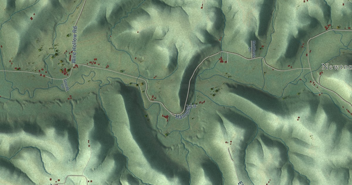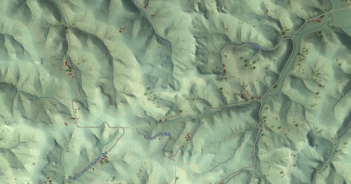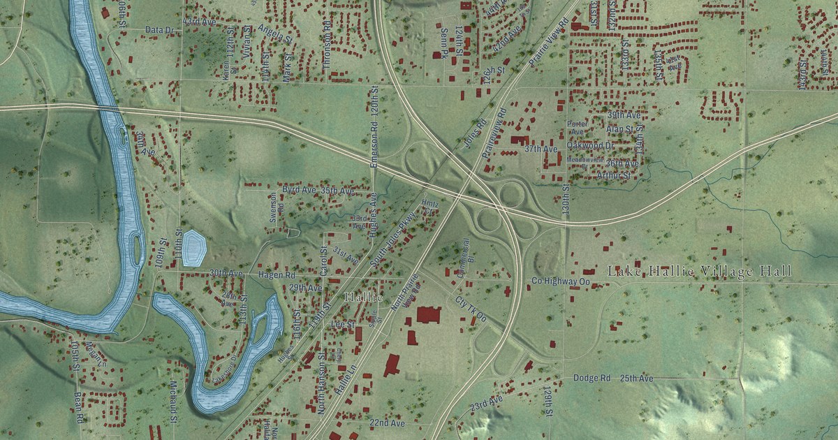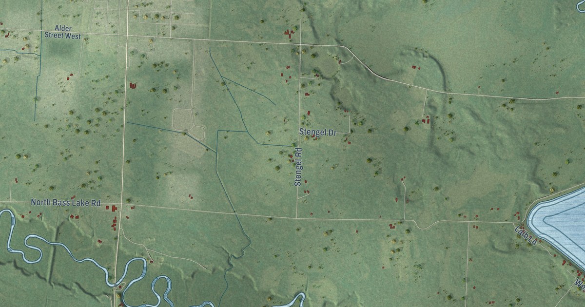
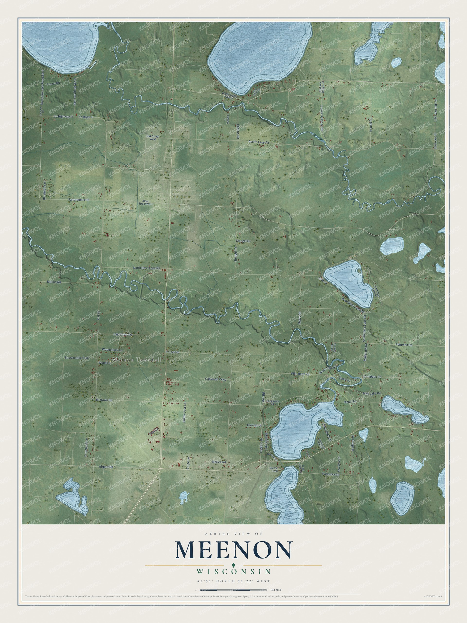
This beautifully detailed map of Meenon, Wisconsin was created in 2026 using aerial imagery combined with modern topographical, census, street and landmark data. It's a modern aerial view of Meenon in Burnett County, Wisconsin, that combines modern data with a vintage aesthetic. The roads feature printed names, and if you look closely you can find your exact house accurately shown in its correct location.
Explore an aerial view of Meenon, Wisconsin
On this map you'll find Meenon Townhall, Airport Road, Snowmobile Trail, Fairgrounds Road, Pike Bend Road, Corcoran Lake Road East, North Bass Lake Road, Old 35, Midtown Road, Austin Lake Road, Peterson Road, Kruger Road, and more. Each red shape is a building, so zoom in on the preview and look for yours.
Meenon is a town in Burnett County. The Census Bureau counted 1,212 people here in 2020. The map prints the town name in its title panel, with the coordinates below it.
Take a closer look at the Meenon map
Names on this map
These names are printed on this map.
Places: Meenon Townhall.
Streets and roads: Airport Road, Snowmobile Trail, Fairgrounds Road, Pike Bend Road, Corcoran Lake Road East, North Bass Lake Road, Old 35, Midtown Road, Austin Lake Road, Peterson Road, Kruger Road, County Highway Ff.
More street names, A to Z
Alder Street West, Bluebird Trail, Chelmo Drive, Chelmo Road, Clam Lake Drive, Clam Shell Lane, Compeau Road, Conners Bridge Road, Connors Bridge Road, Corcoran Road, County Road Ff, Davis Drive, East Bass Lake Drive, East Crex Avenue, Graus Road, Grupe Lane, Harings Lane, Jamesway Road, Jamison Road West, John Stone Road, Knauf Lane, Krause Road, Laib Lane, Lakeview Road, Leghorn Drive, Lily Lake Inn Road, Lily Lake Road, Mansfield Road, Mariee Road, Moline Road, Narrows Drive, New Moon Drive, North Dam Road, Northern Trail, Oak Street West, Oakwood Parkway, Oconnor Drive, Pike Lake Road, Polansky Road, Premo Road, Reh Road, Shady Oaks Lane, South Bass Lake Road, South Dam Road, South Devils Lake Drive, Stengel Drive, Stengel Road, Taxi Lane, Walberg Road, West Bass Lake Road, Whispering Oaks Road, Woodchuck Lane, Wood Lane, Yourchuck Lane.
Created by KNOWOL in 2026. The buildings are small red shapes, the roads carry their printed names, and shaded relief shows the shape of the land. The title panel reads "AERIAL VIEW OF MEENON, WISCONSIN" with 45°51' NORTH 92°22' WEST.
Hang it in the hallway, the office or the cabin, or give it to someone who left Meenon and still calls it home. Open the preview and look for a street you know. See sizes and frames for the Meenon map.