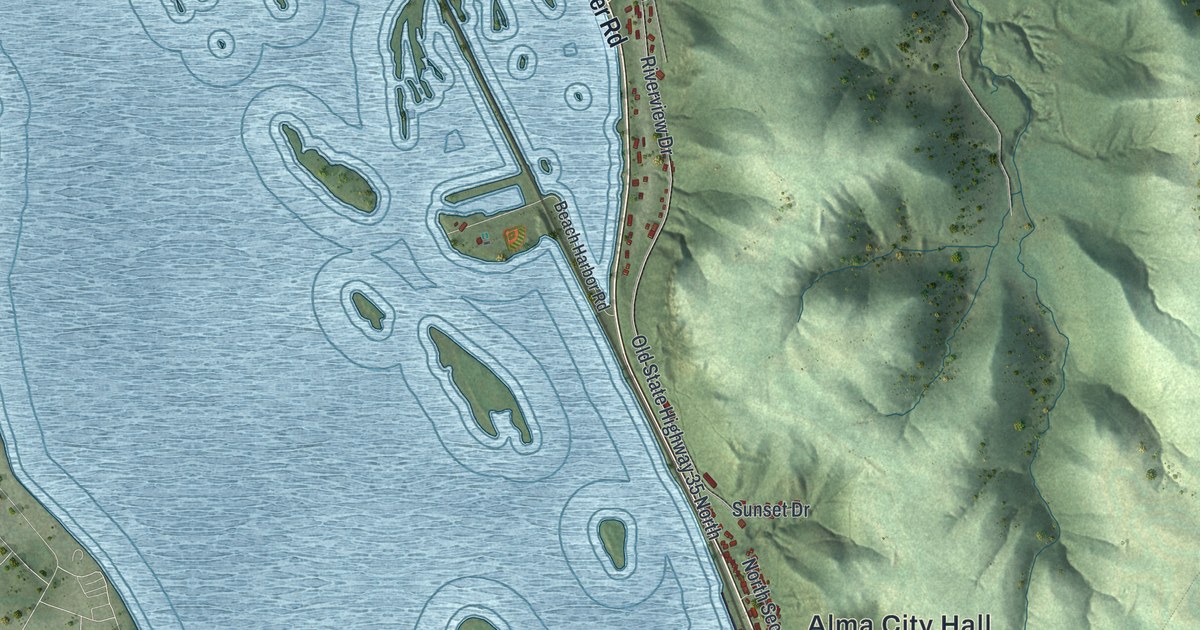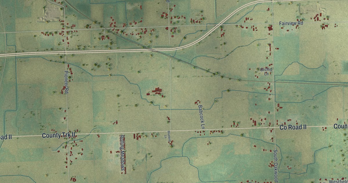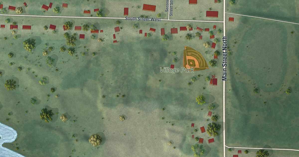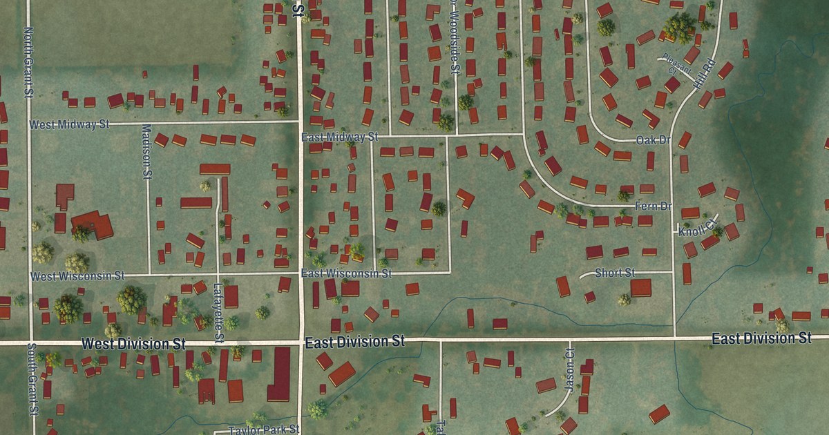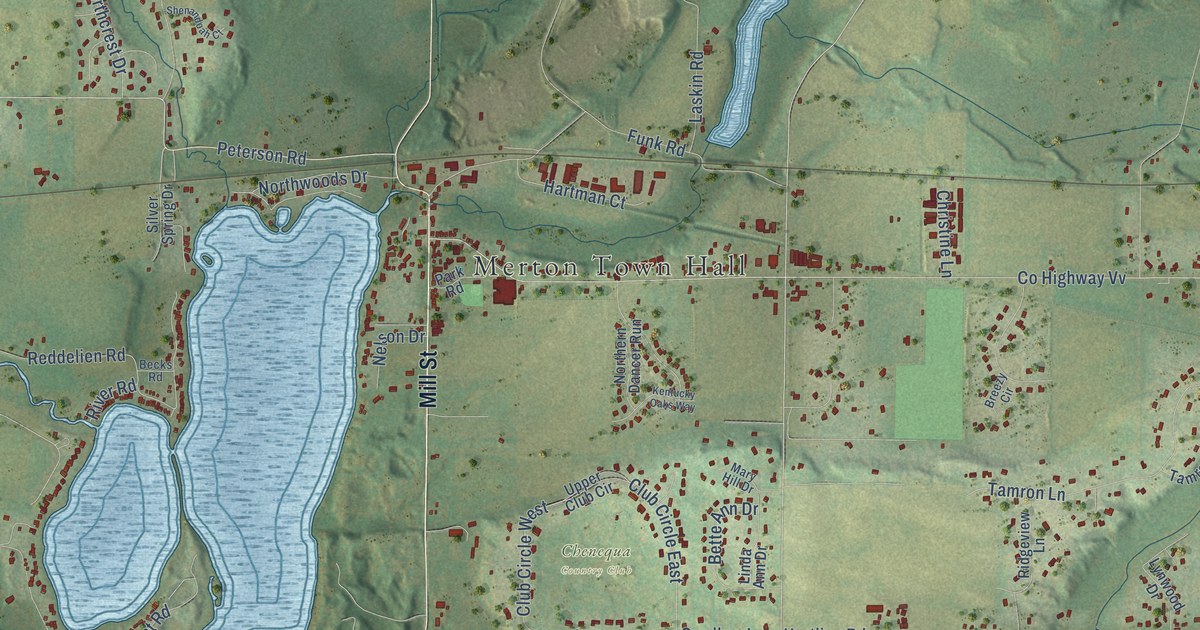
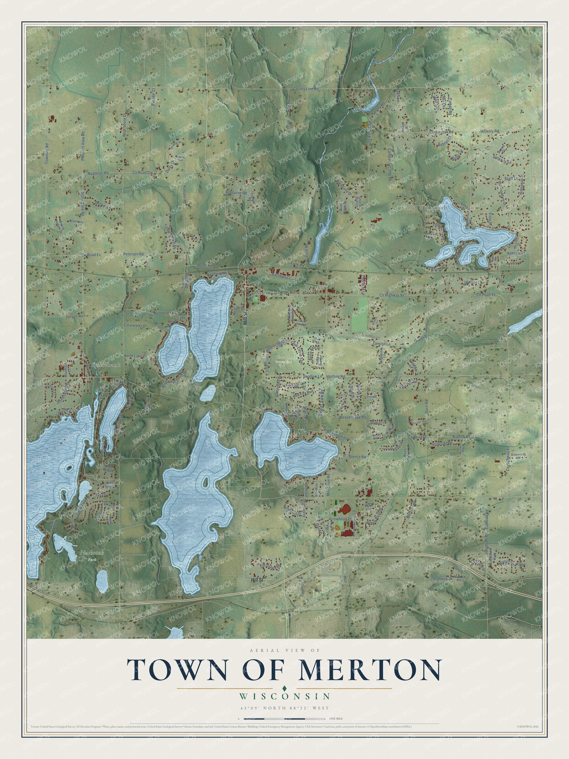
This beautifully detailed map of Merton, Wisconsin was created in 2026 using aerial imagery combined with modern topographical, census, street and landmark data. It's a modern aerial view of Merton in Waukesha County, Wisconsin, that combines modern data with a vintage aesthetic. The roads feature printed names, and if you look closely you can find your exact house accurately shown in its correct location.
Explore an aerial view of Merton, Wisconsin
On this map you'll find Merton Town Hall, Stonebank, Monches, Camp Whitcomb, Chenequa Country Club, Nashotah Park, Mill Street, Hill Street, Center Oak Road, Townline Road, Hartling Road, Keesus Road, and more. Each red shape is a building, so zoom in on the preview and look for yours.
Here is a piece of Merton history, in the words of the record. The Internet Archive puts it this way: "Childs
mentioned (1827) that the Winnebagoes had been attempting to incite this village of Pottawat-
omies to join them on the war path; and that, although this was not accomplished."
Merton is a town in Waukesha County. The Census Bureau counted 8,277 people here in 2020.
Take a closer look at the Merton map
Names on this map
These names are printed on this map.
Places: Merton Town Hall, Stonebank, Monches, Camp Whitcomb, Chenequa Country Club and Nashotah Park.
Streets and roads: Mill Street, Hill Street, Center Oak Road, Townline Road, Hartling Road, Keesus Road, Jensen Road, County Highway Ke, Swallow Lane, Stone Bank Road, Arrowhead Drive, Chenequa Drive.
More street names, A to Z
Ainsworth Road, Anderson Road, Antler Circle, Appaloosa Lane, Arrowhead Campus Drive, Badger Trail, Beaumont Lane, Beaver Lake Road, Beaver View Road, Becker Lane, Becks Road, Bette Ann Drive, Bobtail Court, Breezy Circle, Camp Whitcomb Road, Cedar Bay Court, Cedar Bay Drive, Chardon Drive, Cherry Court, Christine Lane, Cindy Court, Cindy Lane, Clearwater Drive, Club Circle East, Club Circle West, Country Lane, County Highway Jk, County Highway Vv, County Line Road, County Road Cw, County Road East, County Road Ec, County Road Ef, County Road Ke, County Road Vv, Creekside Court, Daley Drive, Deer Lane, Dieball Road, Dobbertin Road, Dorn Road, Evelyn Court, Florencetta Heights, Flynn Road, Forest Drive, Franchar Drive, Frontier Road, Funk Road, Gail Lane, Getaway Lane, Glacial Drift Court, Golf Circle, Golf Road, Grace Drive, Green Briar Drive, Hartley Road, Hartman Court, Hasslinger Drive, Hickory Road, Hideaway Drive, Hoff Lane, Hoff Road, Huckleberry Lane, Irene Lane, Island View Lane, Ivy Lane, Joseph Court, Jungbluth Road, Kentucky Oaks Way, Kilbourne Road, Koester Road, Lakeview Drive, Lakeview Lane, Lakewood Drive, Laskin Road, Lillian Drive, Linda Ann Drive, Lisbon Avenue, Loghouse Circle, Lynwood Drive, Mapleton Road, Marshall Drive, Maryanns Way, Mary Hill Drive, Mary Hill Parkway, Merton Avenue, Miller Road, Monclaire Road, Nelson Drive, Northbay Road, Northcrest Drive, Northern Dancer Run, North Lake Drive, Northwoods Drive, Oak Ridge Lane, Old Steeple Road, Park Drive, Park Road, Parkside Road, Parkview Lane, Peninsula Drive, Peradel Court, Petersen Road, Peterson Road, Pleasant View Road, Prairie Hollow Drive, Reddelien Road, Red Fox Run, Reynolds Drive, Richter Road, Ridgeview Lane, River Edge Drive, River Grove Lane, River Road, Riverview Lane, Road North, Robin Lane, Roosevelts Quay, Rybeck Road, Scott Lane, Seville Lane, Shadow Court, Shadow Pass, Shenandoah Court, Shore Acres Road, Silver Spring Drive, Solveson Drive, South Woodfield Road, Spence Road, Stevens Road, Stonefield Court, Stonefield Way, Stoney Hill Court, Sunset Court, Sylvian Drive, Tamron Drive, Tamron Lane, Terrace Drive, Theresa Marie Drive, Tourmaline Court, Trumpet Lane, Upper Club Circle, Vista Drive, Wallschlager Way, Wedgewood Drive, West Shore Drive, Wildwood Point Road, Windwood Drive, Woodfield Court, Woodland Drive.
Created by KNOWOL in 2026. The buildings are small red shapes, the roads carry their printed names, and shaded relief shows the shape of the land. The title panel reads "AERIAL VIEW OF TOWN OF MERTON, WISCONSIN" with 43°09' NORTH 88°22' WEST.
It suits a den, a classroom or a front hall, and it makes a gift for anyone with Merton roots. Open the preview and find the block you know. See sizes and frames for the Town of Merton map.