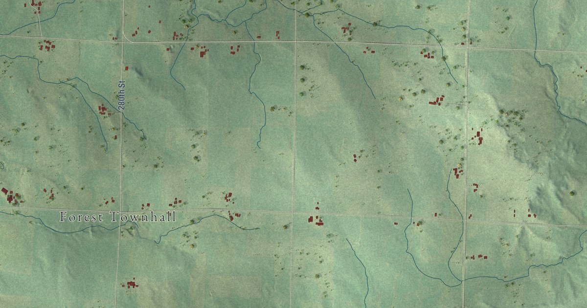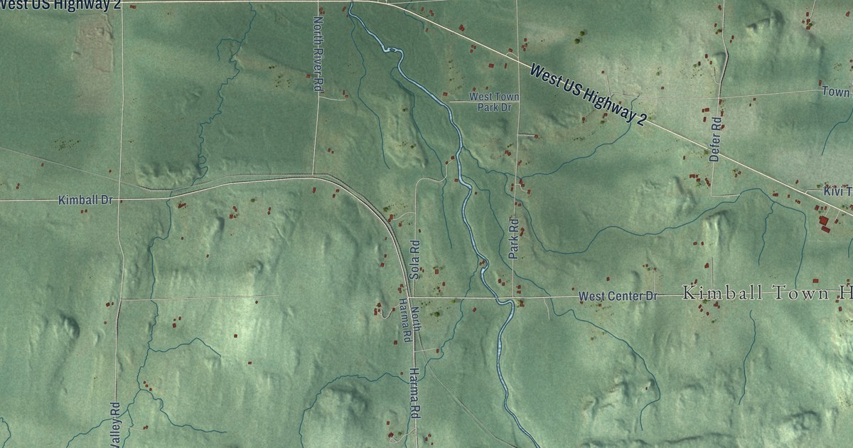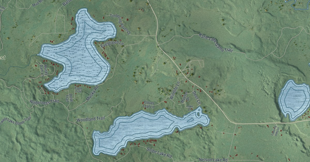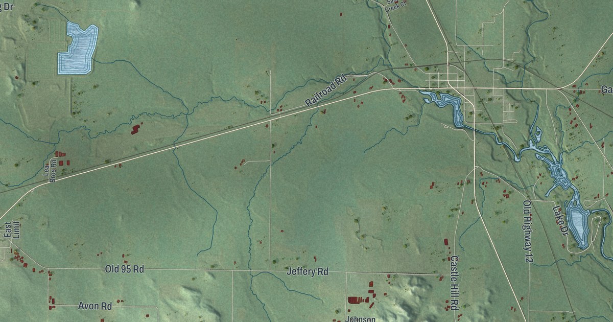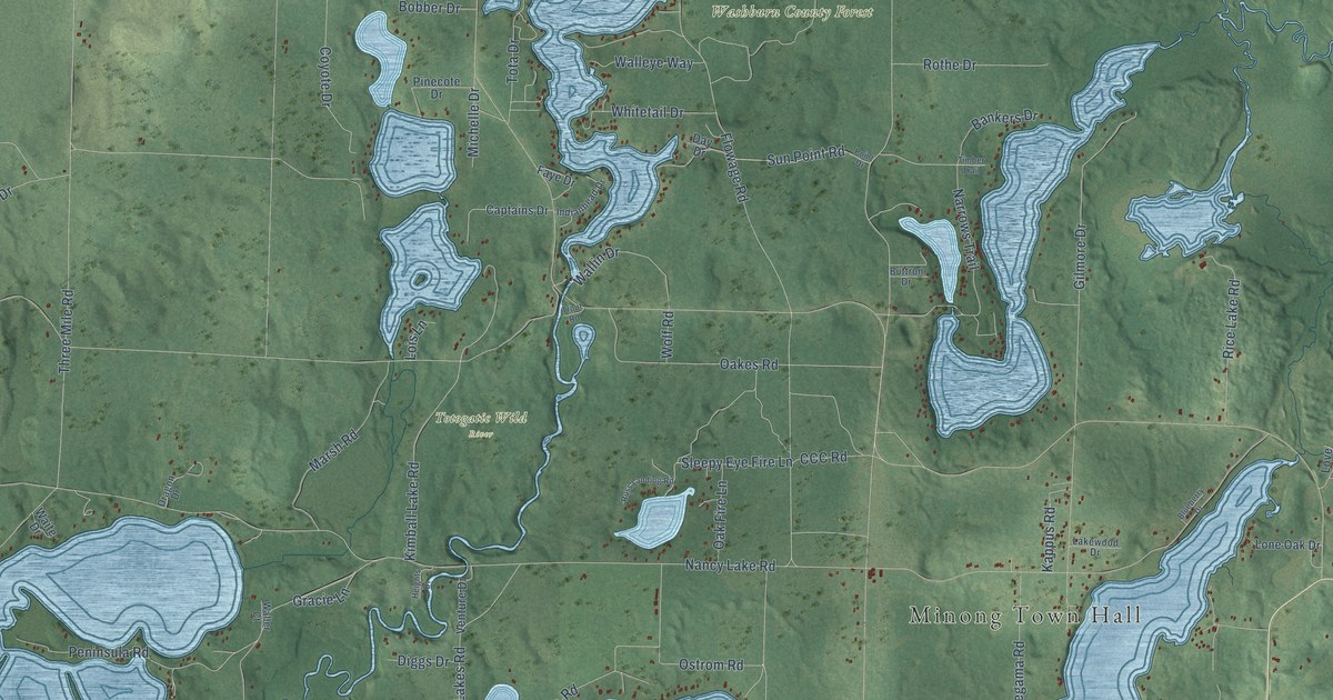
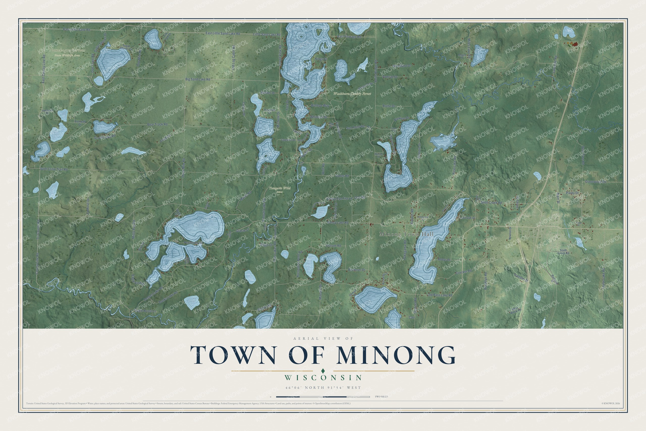
This beautifully detailed map of Minong, Wisconsin was created in 2026 using aerial imagery combined with modern topographical, census, street and landmark data. It's a modern aerial view of Minong in Washburn County, Wisconsin, that combines modern data with a vintage aesthetic. The roads feature printed names, and if you look closely you can find your exact house accurately shown in its correct location.
Explore an aerial view of Minong, Wisconsin
On this map you'll find Minong Town Hall, Namekagon Barrens State Wildlife Area, Totogatic Wild River, Washburn County Forest, County Line Road, East County Line Road, Little Sand Lake Road, East Little Sand Road, East Little Sand Lake Road, Island View Road, Big Sand Lake Road, Tri-County Road, and more. Each red shape is a building, so zoom in on the preview and look for yours.
Minong is a town in Washburn County. The Census Bureau counted 984 people here in 2020. The map prints the town name in its title panel, with the coordinates below it.
Take a closer look at the Minong map
Names on this map
These names are printed on this map.
Places: Minong Town Hall, Namekagon Barrens State Wildlife Area, Totogatic Wild River and Washburn County Forest.
Streets and roads: County Line Road, East County Line Road, Little Sand Lake Road, East Little Sand Road, East Little Sand Lake Road, Island View Road, Big Sand Lake Road, Tri-County Road, Main Street, East Flowage Road, CCC Road, Lakeside Road.
More street names, A to Z
Andys Drive, Bankers Drive, Banks Lake Road, Bear Track Road, Bear Tree Road, Becherer Drive, Bergen Drive, Bird Drive, Blueberry Drive, Bobber Drive, Brancel Road, Brooklyn Road, Buttron Drive, Captains Drive, Carr, Cornwall Drive, Coyote Drive, Crocker Road, Day Drive, Deeper Lake Road, Diggs Drive, Doe Town Road, Dragon Drive, Eagle Roost Lane, Eagle View Drive, Faye Drive, Flowage Road, Friedl Drive, Gilmore Drive, Gomoll Drive, Gracie Lane, Greenwood Road, Heights Drive, Horseshoe Bend Road, Inbetween Road, Indianhead Drive, Jones Drive, Kappus Road, Kimball Lake Road, Kings Court, Lakewood Drive, Lois Lane, Lone Oak Drive, Lookout Drive, Love Drive, Marsh Road, Massett Drive, Michelle Drive, Middle Road, Miles Lake Road, Misty Bog Road, Nancy Lake Road, Narrows Trail, Newton Drive, Oakes Road, Oak Fire Lane, Old Bass Lake Road, Old Log Cabin Road, One Mile Road, Ostrom Road, Peninsula Road, Pinecote Drive, Pixley Drive, Point Drive, Pokegama Road, Railroad Street, Rice Lake Road, Richards Lane, Rothe Drive, Russ Landing Road, Saint Croix Trail Road, Scovill Lake Road, Semrad Drive, Shell Creek Road, Sleepy Eye Fire Lane, Smith Bridge Road, South Limits Road, Sugar Shores Court, Sugar Shores Drive, Sun Point Road, Taylor Lake Road, Three Mile Road, Timber Trail, Tim Tam Drive, Tota Drive, Transfer Street, Trout Road, Twin Lakes Road, Venture Drive, Visger Drive, Waite Drive, Waller Court, Walleye Way, Wallin Drive, West Block Road, Whale Lk Spr, White Pine Drive, Whitetail Drive, Wolf Road, Woodland Drive.
Created by KNOWOL in 2026. The buildings are small red shapes, the roads carry their printed names, and shaded relief shows the shape of the land. The title panel reads "AERIAL VIEW OF TOWN OF MINONG, WISCONSIN" with 46°06' NORTH 91°54' WEST.
Hang it in the hallway, the office or the cabin, or give it to someone who left Minong and still calls it home. Open the preview and look for a street you know. See sizes and frames for the Town of Minong map.