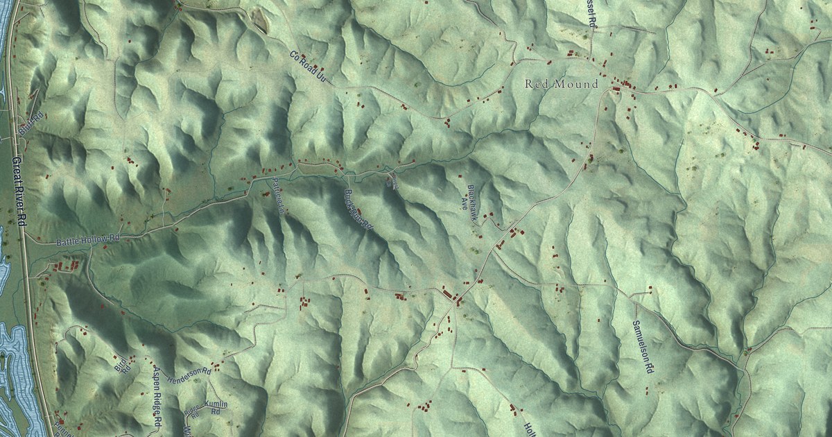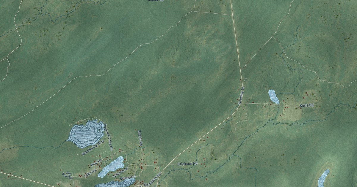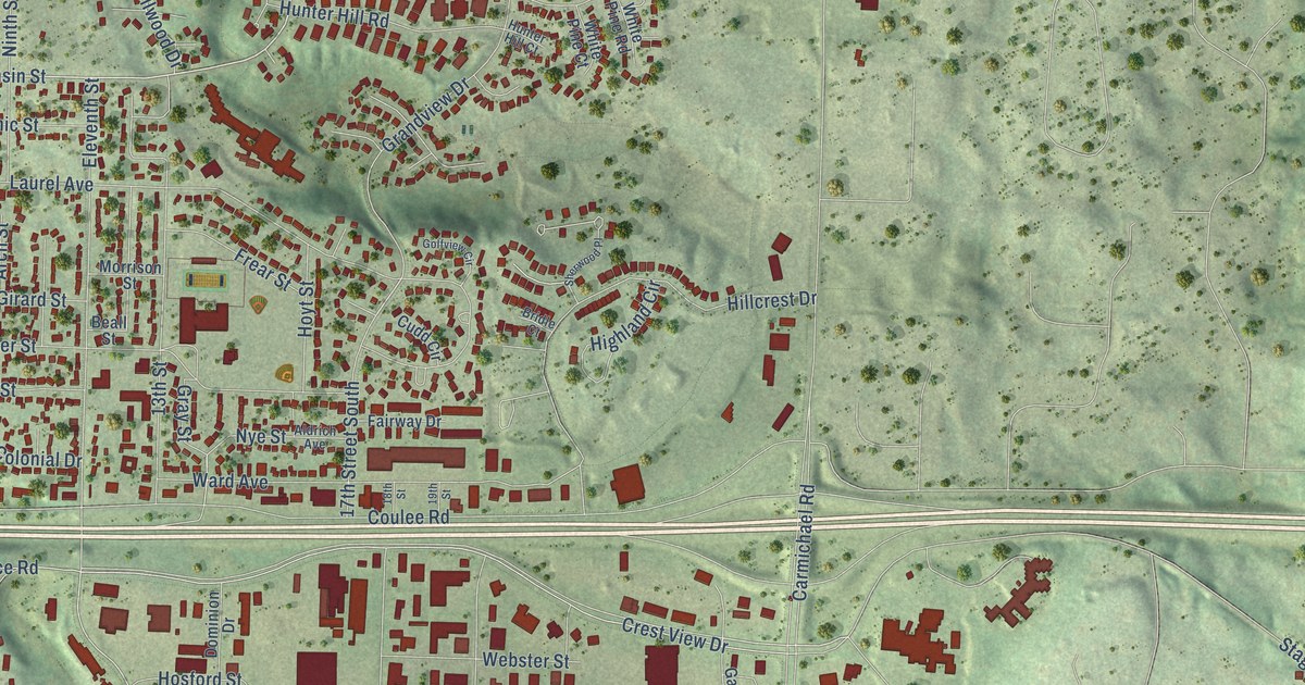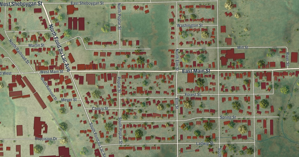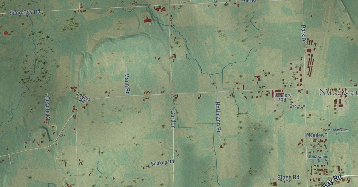
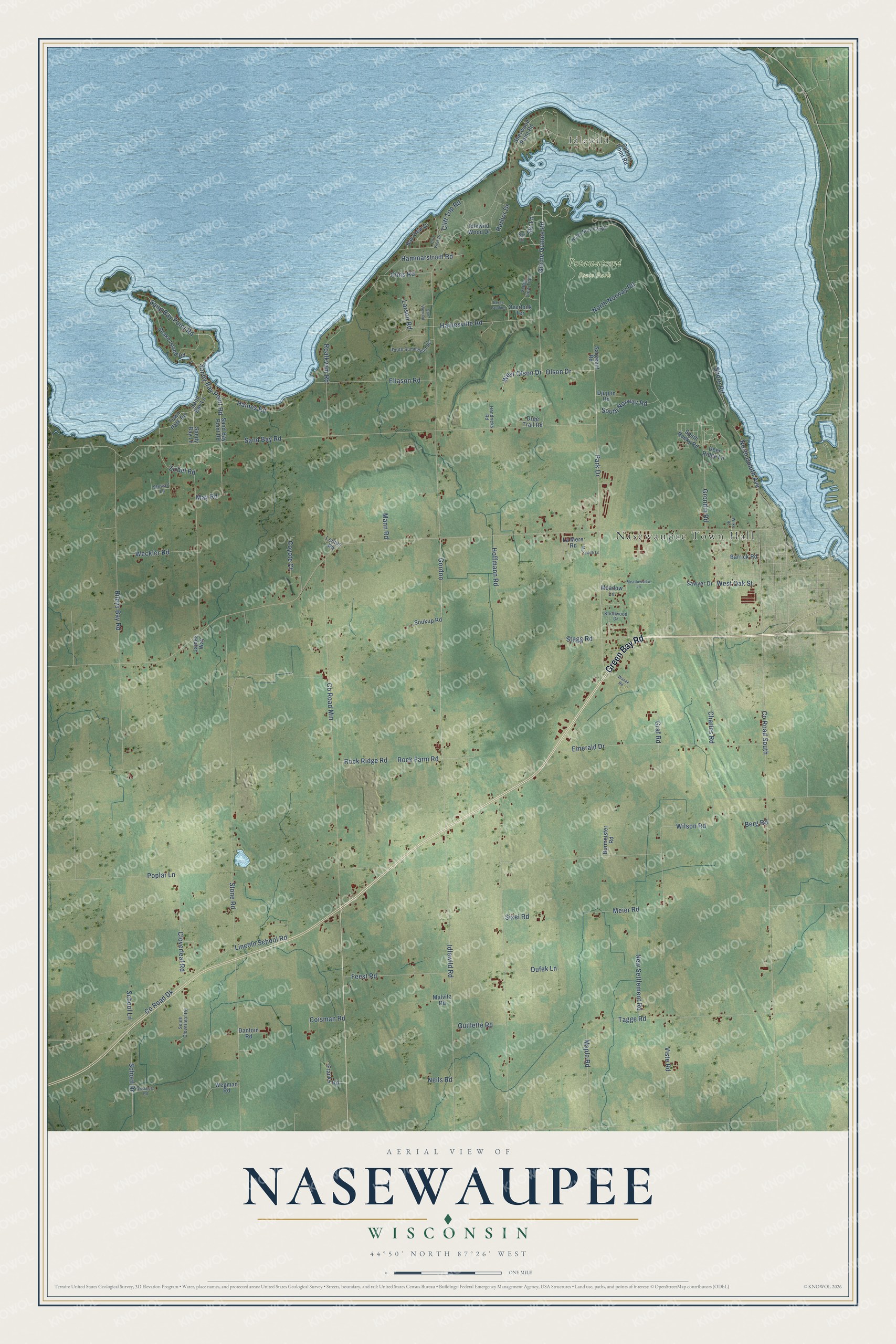
This beautifully detailed map of Nasewaupee, Wisconsin was created in 2026 using aerial imagery combined with modern topographical, census, street and landmark data. It's a modern aerial view of Nasewaupee in Door County, Wisconsin, that combines modern data with a vintage aesthetic. The roads feature printed names, and if you look closely you can find your exact house accurately shown in its correct location.
Explore an aerial view of Nasewaupee, Wisconsin
On this map you'll find Nasewaupee Town Hall, Idlewild, Potawatomi State Park, Green Bay Road, Park Drive, Olson Drive, West Olson Drive, Sand Bay Point Road, Sandy Bay Point Road, Shore Road, Gitche Gumee Road, Hainesville Road, and more. Each red shape is a building, so zoom in on the preview and look for yours.
Nasewaupee has a story worth telling. The History of Door County puts it this way: "On the petition of E. S. Fuller, the County Board, at the November meeting, 1859, set off from the west part of the town of Otumba, under the name of Nasewaupee. The town also included Basin Island, town 28, range 24."
Nasewaupee is a town in Door County. The Census Bureau counted 1,984 people here in 2020.
Take a closer look at the Nasewaupee map
Names on this map
These names are printed on this map.
Places: Nasewaupee Town Hall, Idlewild and Potawatomi State Park.
Streets and roads: Green Bay Road, Park Drive, Olson Drive, West Olson Drive, Sand Bay Point Road, Sandy Bay Point Road, Shore Road, Gitche Gumee Road, Hainesville Road, Idlewild Road, Sand Bay Road, Stone Road.
More street names, A to Z
Anschutz Road, Barrick Road, Bay View Drive, Berg Road, Bergs Landing, Burmeister Road, Cabots Point Road, Charles Road, Cliff Top Road, Cliff View Drive, Cloverleaf Road, Coisman Road, County Road Dk, County Road Mm, County Road South, Coyote Court, Dantoin Road, Deer Ridge Lane, Djuplin Road, Dree Trail Road, Dufek Lane, Eliason Road, Elms Road, Emerald Drive, Feest Road, Franks Road, Golf View Road, Gordon, Graf Road, Grondin Road, Guillette Road, Haines Road, Hammarstrom Road, Harbor Drive, Hendricks Road, Hoffmann Road, Idlewild Wood Drive, James Way, Knollwood Drive, La Mere Road, Larson Road, Lenius Road, Lincoln School Road, Malvitz Road, Mann Road, Maple Road, May Road, Meadow Lane, Meadowview Lane, Meier Road, Meredith Lane, Neils Road, New Settlement Road, North Duluth Avenue, North Norway Road, North Norwood Road, Overlook Terrace, Poplar Lane, Rileys Bay Road, Roalkvam Road, Rock Farm Road, Rock Ridge Road, Sand Bay Lane, Sandy Bay Lane, Sargeant Road, Sawyer Drive, School Drive, School Lane, Sherwood Point Road, Sixel Road, Ski Court, Ski Lane, Snake Island Road, Soukup Road, South Cloverleaf Road, South Norway Road, South Rocky Road, South Summerset Road, Stagg Road, Stewart Lane, Tagge Road, Town Park Road, Valley View Trail, Viste Road, Wanek Road, Weckler Road, Wegman Road, West Oak Street, Wilke Road, Wilson Road, Zirbel Road.
Created by KNOWOL in 2026. The buildings are small red shapes, the roads carry their printed names, and shaded relief shows the shape of the land. The title panel reads "AERIAL VIEW OF NASEWAUPEE, WISCONSIN" with 44°50' NORTH 87°26' WEST.
It looks right in a kitchen, an office or a den, and it's a gift for anyone who grew up in Nasewaupee or moved away. Open the preview and find your street. See sizes and frames for the Nasewaupee map.