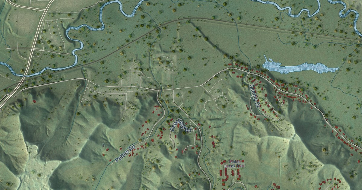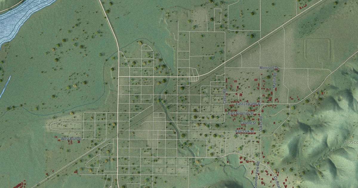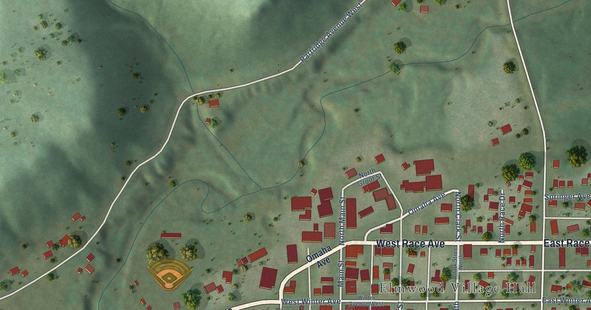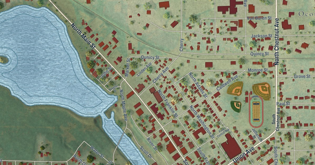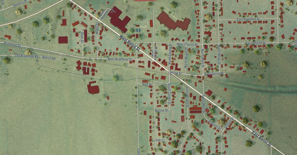
This beautifully detailed map of Orfordville, Wisconsin was created in 2026 using aerial imagery combined with modern topographical, census, street and landmark data. It's a modern aerial view of Orfordville in Rock County, Wisconsin, that combines modern data with a vintage aesthetic. The roads feature printed names, and if you look closely you can find your exact house accurately shown in its correct location.
Explore an aerial view of Orfordville, Wisconsin
On this map you'll find Purdy Park, West Beloit Street, East Beloit Street, West Brodhead Street, South Center Street, Spring Street, Brodhead Street, Genesis Drive, North Main Street, Gavin Street, Clark Street, South Old 11, and more. Each red shape is a building, so zoom in on the preview and look for yours.
Here is a piece of Orfordville history, in the words of the record. The Internet Archive puts it this way: "Paul Railroad passes through the
central part, entering on the east at Orfordville, and passing out on Section 19 across the
western boundary of the county."
Orfordville is a village in Rock County. The Census Bureau counted 1,473 people here in 2020.
Take a closer look at the Orfordville map
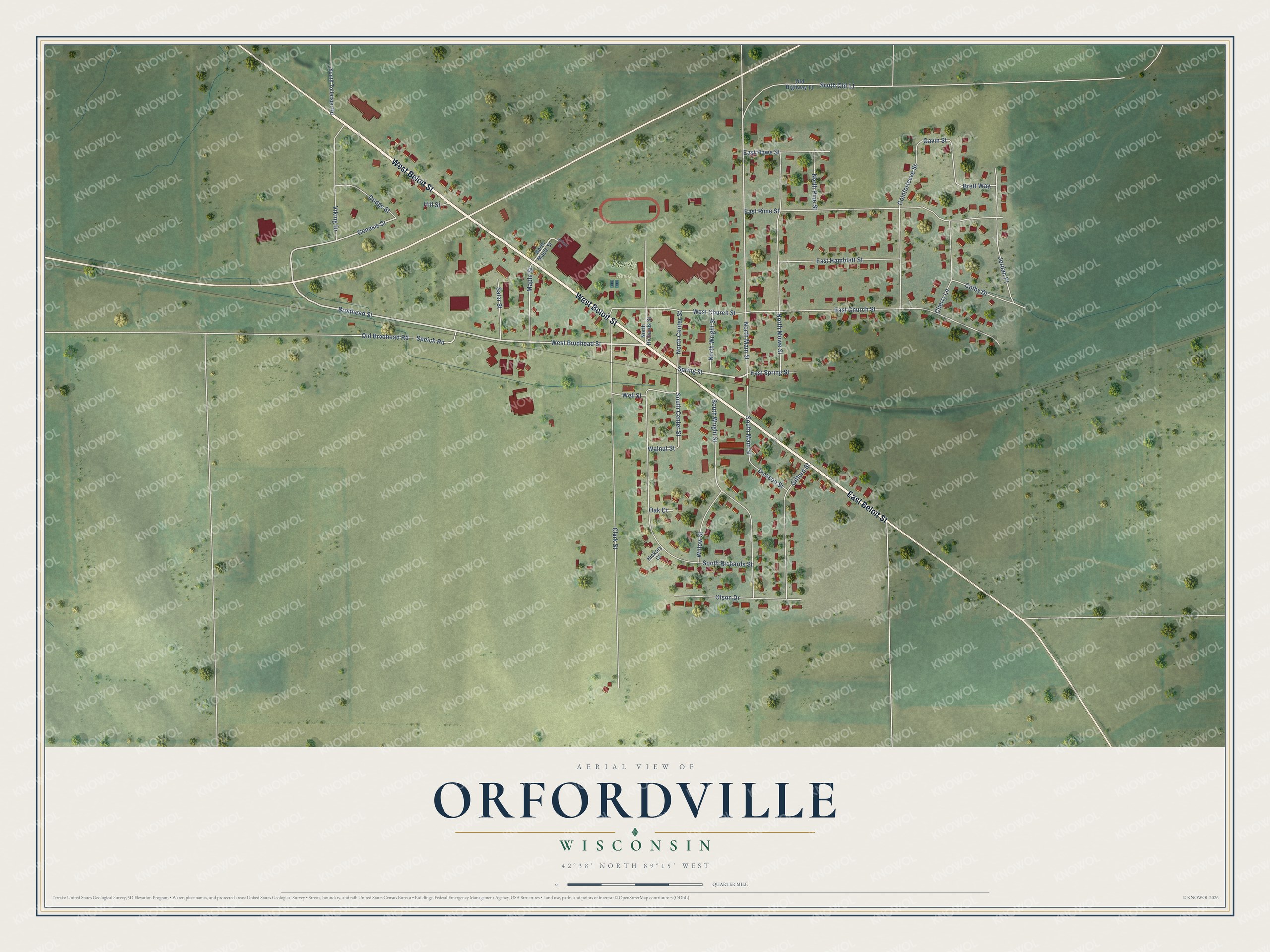
Names on this map
These names are printed on this map.
Places: Purdy Park.
Streets and roads: West Beloit Street, East Beloit Street, West Brodhead Street, South Center Street, Spring Street, Brodhead Street, Genesis Drive, North Main Street, Gavin Street, Clark Street, South Old 11, East Rime Street.
More street names, A to Z
Brett Way, Cherry Lane, Colby Drive, Comfortcove Street, Dickson Street, Dodge Street, East Church Street, East Hamblett Street, East Howe Street, East Spring Street, Gifford Street, Hickory Court, Hill Street, Jordan Place, Maple Street, North Center Street, North Maple Street, North Mowe Street, North Pine Street, North Richards Street, North Wright Street, Oak Court, Old Brodhead Road, Old Highway 11, Olson Drive, Sater Street, School Street, South Main Street, South Richards Street, South Tollefson Road, South Wright Street, Speich Road, Viking Drive, Walnut Street, Well Street, West Church Street, Willow Street.
Created by KNOWOL in 2026. The buildings are small red shapes, the roads carry their printed names, and shaded relief shows the shape of the land. The title panel reads "AERIAL VIEW OF ORFORDVILLE, WISCONSIN" with 42°38' NORTH 89°15' WEST.
It suits a den, a classroom or a front hall, and it makes a gift for anyone with Orfordville roots. Open the preview and find the block you know. See sizes and frames for the Orfordville map.