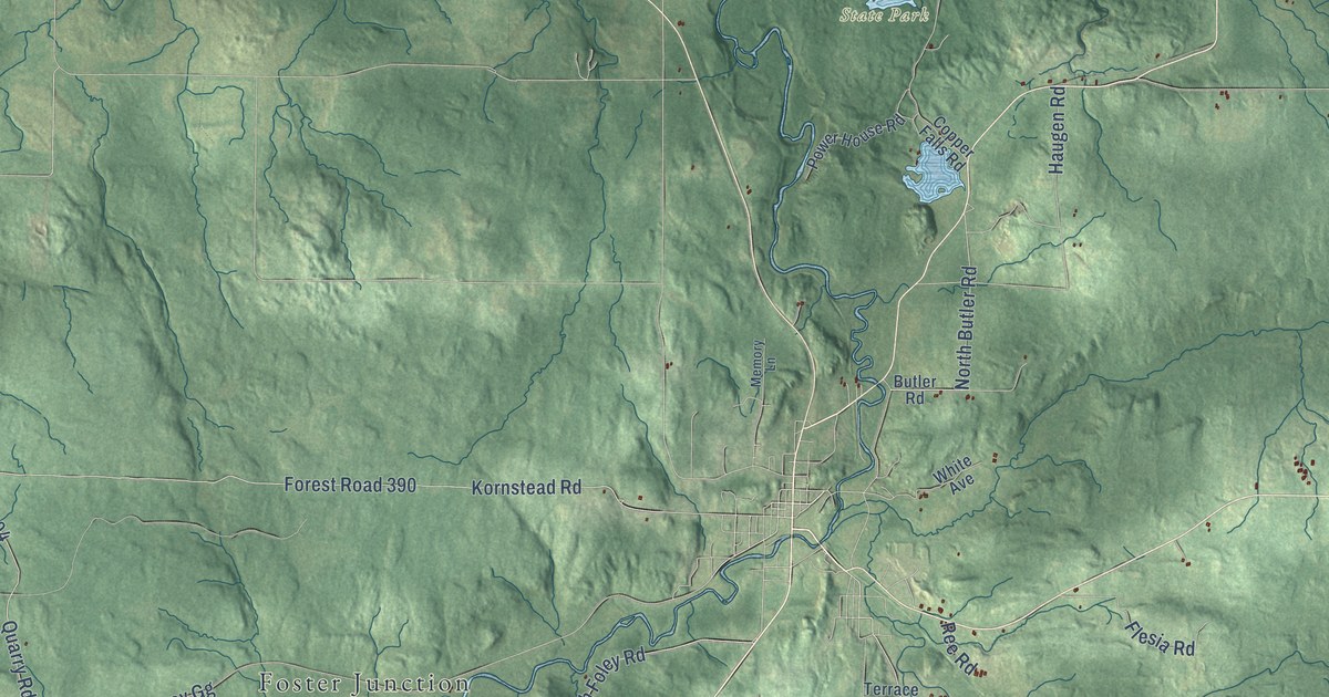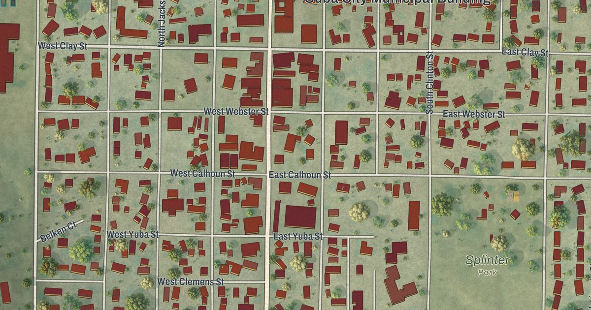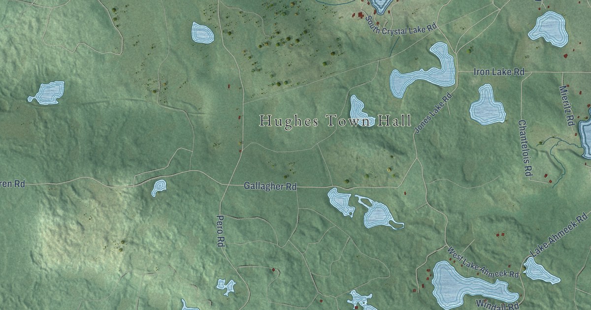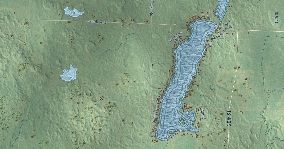
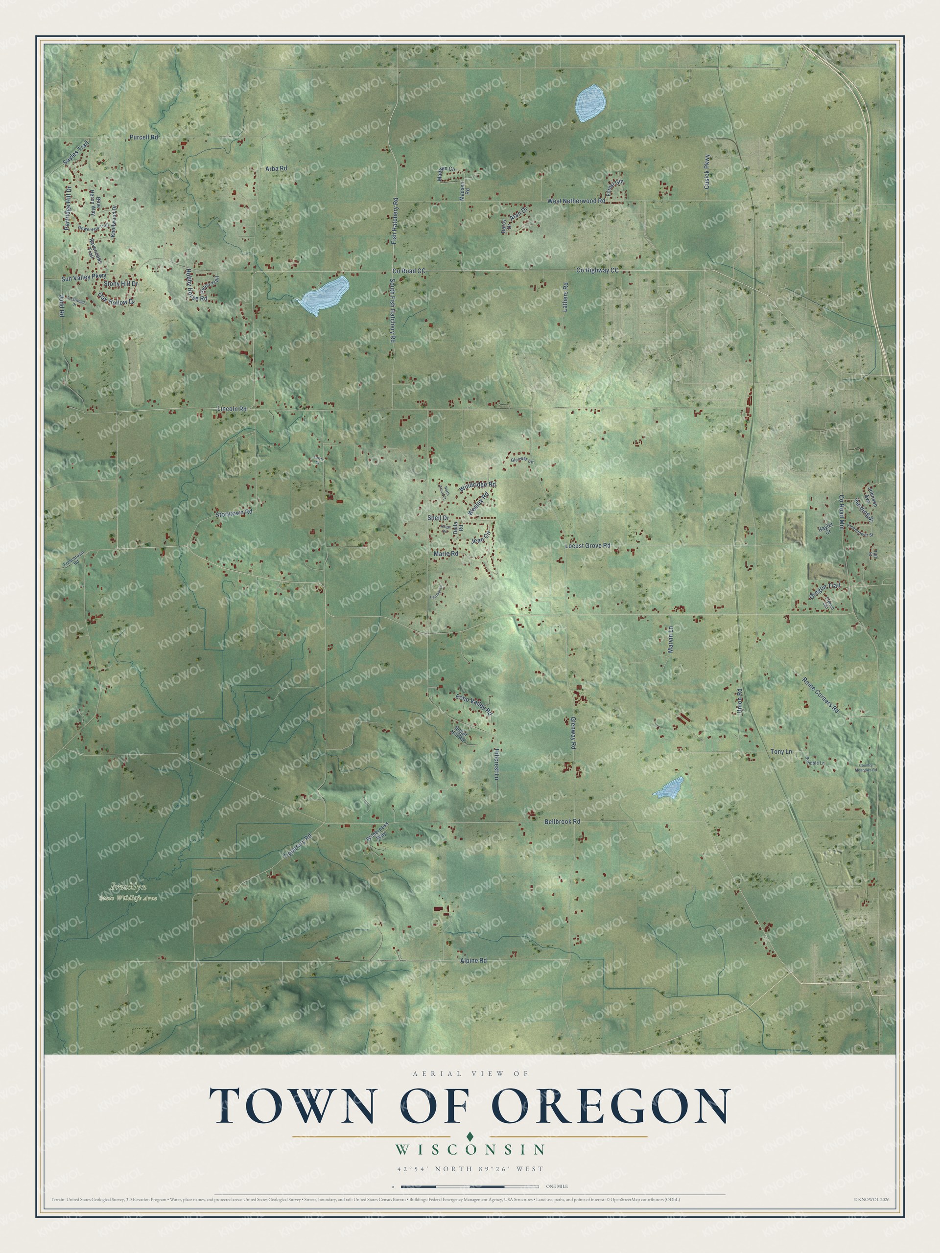
This beautifully detailed map of Oregon, Wisconsin was created in 2026 using aerial imagery combined with modern topographical, census, street and landmark data. It's a modern aerial view of Oregon in Dane County, Wisconsin, that combines modern data with a vintage aesthetic. The roads feature printed names, and if you look closely you can find your exact house accurately shown in its correct location.
Explore an aerial view of Oregon, Wisconsin
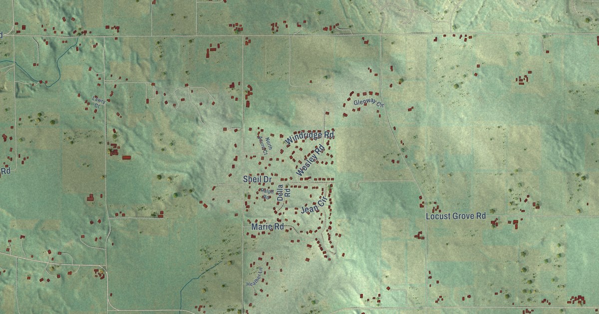
On this map you'll find Brooklyn State Wildlife Area, Co Highway CC, Co Road CC, Fish Hatchery Road, Union Road, Wesley Road, Tipperary Road, Bellbrook Road, Lincoln Road, Glenway Road, Hillcrest Lane, Alpine Road, and more. Each red shape is a building, so zoom in on the preview and look for yours.
Here is a piece of Oregon history, in the words of the record. The History of Dane County puts it this way: "From the first Tuesday in April, 1846, to the first Tuesday in April, 1847, the territory now constituting the town of Oregon was under the government of the town of Rome, of which it was a part."
Oregon is a town in Dane County. The Census Bureau counted 3,125 people here in 2020.
Take a closer look at the Oregon map
Names on this map
These names are printed on this map.
Places: Brooklyn State Wildlife Area.
Streets and roads: County Highway CC, County Road CC, Fish Hatchery Road, Union Road, Wesley Road, Tipperary Road, Bellbrook Road, Lincoln Road, Glenway Road, Hillcrest Lane, Alpine Road, County Road Mm.
More street names, A to Z
Alan Drive, Arba Road, Blue Heron Way, Bramble Lane, Country Meadows Road, Crestwood Drive, Cusick Parkway, Darcy Drive, Della Road, Echo Valley Road, Eisenhower Street, Forest Gln, French Gln, Frenchtown Road, Glenway Circle, Harding Street, Hayler Court, Heather Lane, Hobby Horse Road, Jean Circle, Johnson Avenue, Judd Road, Knollwood Drive, Lathers Road, Lawry Court, Locust Grove Road, Madsen Circle, Madsen Road, Marie Road, Marvin Lane, North Azure Court, Oak Hollow Drive, Onwentsia Trail, Oregon Trail, Partridge Hill Drive, Pinon Trail, Purcell Road, Ralph Road, Ravenoaks Trail, Rome Corners Road, Sayles Trail, Sheil Drive, South Fish Hatchery Road, Stony Hill Drive, Storytown Road, Sugar Hill Road, Sun Valley Parkway, Taft Street, Tony Lane, West Netherwood Road, Wilderness Way, Windridge Road.
Created by KNOWOL in 2026. The buildings are small red shapes, the roads carry their printed names, and shaded relief shows the shape of the land. The title panel reads "AERIAL VIEW OF TOWN OF OREGON, WISCONSIN" with 42°54' NORTH 89°26' WEST.
It suits a den, a classroom or a front hall, and it makes a gift for anyone with Oregon roots. Open the preview and find the block you know. See sizes and frames for the Town of Oregon map.