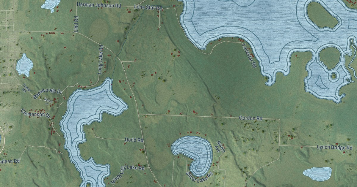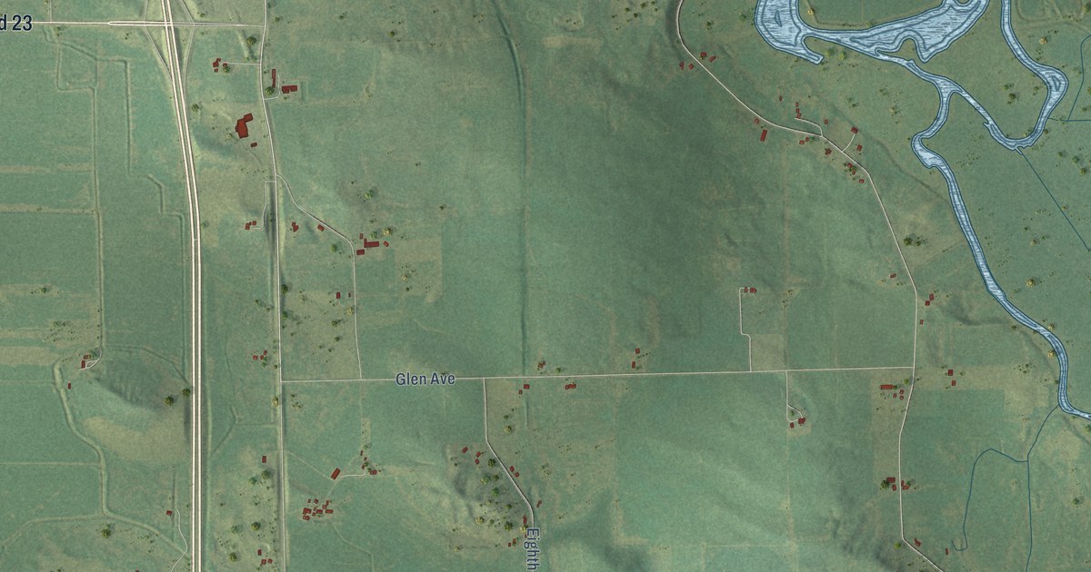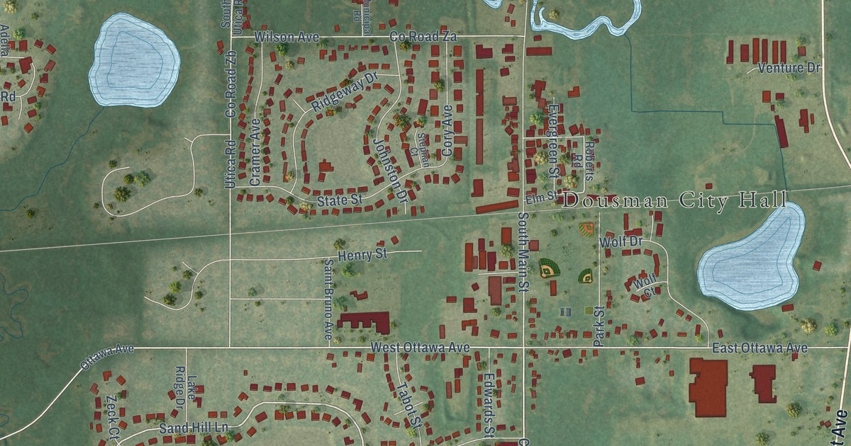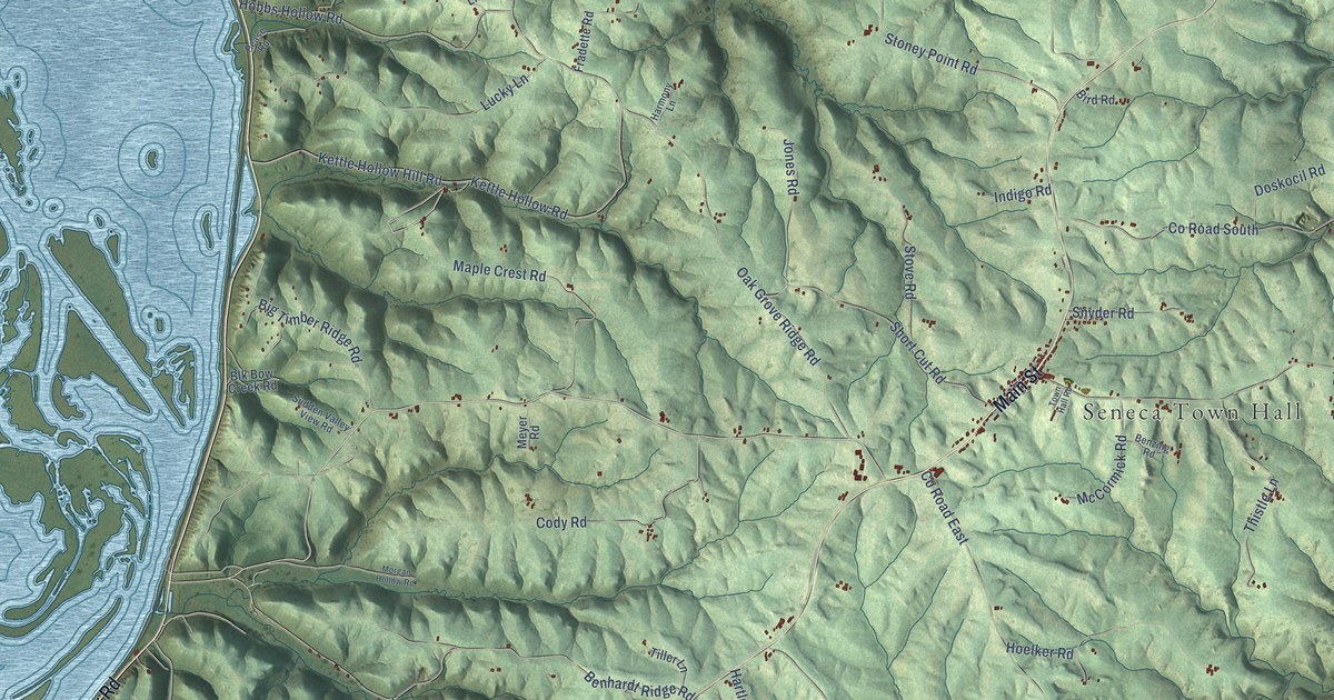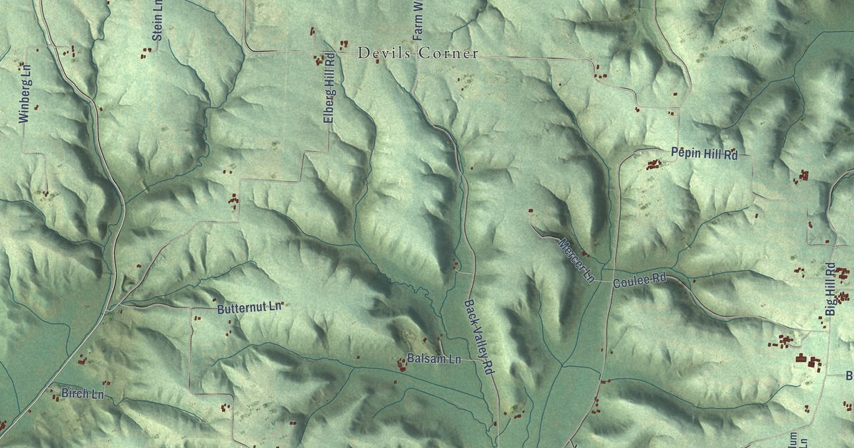
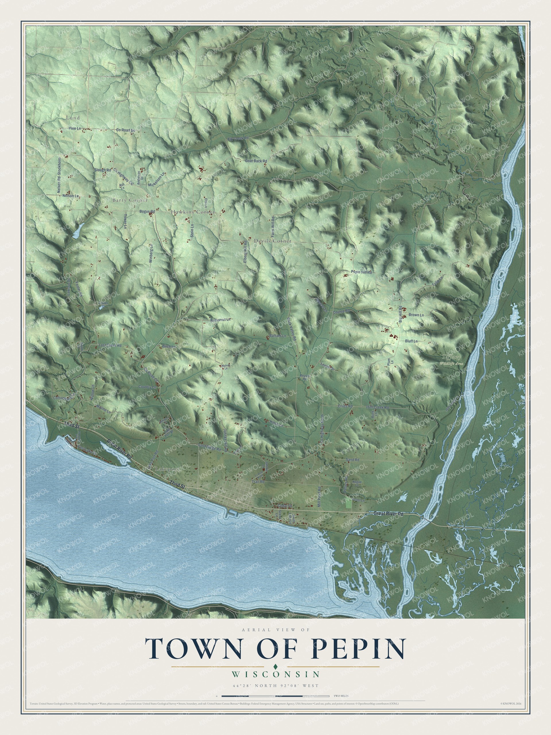
This beautifully detailed map of Pepin, Wisconsin was created in 2026 using aerial imagery combined with modern topographical, census, street and landmark data. It's a modern aerial view of Pepin in Pepin County, Wisconsin, that combines modern data with a vintage aesthetic. The roads feature printed names, and if you look closely you can find your exact house accurately shown in its correct location.
Explore an aerial view of Pepin, Wisconsin
On this map you'll find Lund, Barry Corner, Tiffany Wildlife Area, Devils Corner, Hawkins Corner, Lakeport, Great River Road, Third Street, Co Highway CC, Co Road Ss, Co Road CC, Pine Lane, and more. Each red shape is a building, so zoom in on the preview and look for yours.
Pepin has a story worth telling. The History of Northern Wisconsin puts it this way: "John McCain entered 160 acres in what is now the town of Pepin, on Sections 22, 23 and 27, and consequently became the first freeholder in the county. He also broke the first land and planted the first crop."
Pepin is a town in Pepin County. The Census Bureau counted 741 people here in 2020.
Take a closer look at the Pepin map
Names on this map
These names are printed on this map.
Places: Lund, Barry Corner, Tiffany Wildlife Area, Devils Corner, Hawkins Corner and Lakeport.
Streets and roads: Great River Road, Third Street, County Highway CC, County Road Ss, County Road CC, Pine Lane, Lost Creek Road, Bogus Road, Nelson Road, County Highway North, Big Hill Road, Back Valley Road.
More street names, A to Z
16th Creek Lane, 16th Creek Road, Anderson Drive, Apple Lane, Ash Lane, Balsam Lane, Basswood Lane, Beaver Road, Birch Lane, Bluff Lane, Brown Lane, Buck Lane, Butternut Lane, Cedar Drive, Cottonwood Lane, Coulee Road, Country Lane, County Road North, Cross Road, Deer Island Road, East Lake Drive, Elberg Hill Road, Elk Creek Road, Elm Lane, Farm Will Road, Foster Road, Goat Back Road, Hince Lane, Hogue Lane, Jahnke Hill Road, Jahnke Lane, Lake Port Drive, Lake Port Road, Lawson Drive, Lerum Drive, Linder Drive, Mercer Lane, Mickelson Lane, Milliren Lane, Mill Pond Road, Moline Lane, Nelson Lane, Pepin Hill Road, Peters Road, Plum Lane, Potter Lane, Sand Ridge Road, Sand Road, Scenic Lane, Slough Road, Smith Lake Lane, Stein Lane, Stockholm, Tower Lane, Trail Road, Tulip Lane, Walnut Lane, West Lake Drive, Willow Lane, Winberg Lane.
Created by KNOWOL in 2026. The buildings are small red shapes, the roads carry their printed names, and shaded relief shows the shape of the land. The title panel reads "AERIAL VIEW OF TOWN OF PEPIN, WISCONSIN" with 44°28' NORTH 92°08' WEST.
It looks right in a kitchen, an office or a den, and it's a gift for anyone who grew up in Pepin or moved away. Open the preview and find your street. See sizes and frames for the Town of Pepin map.