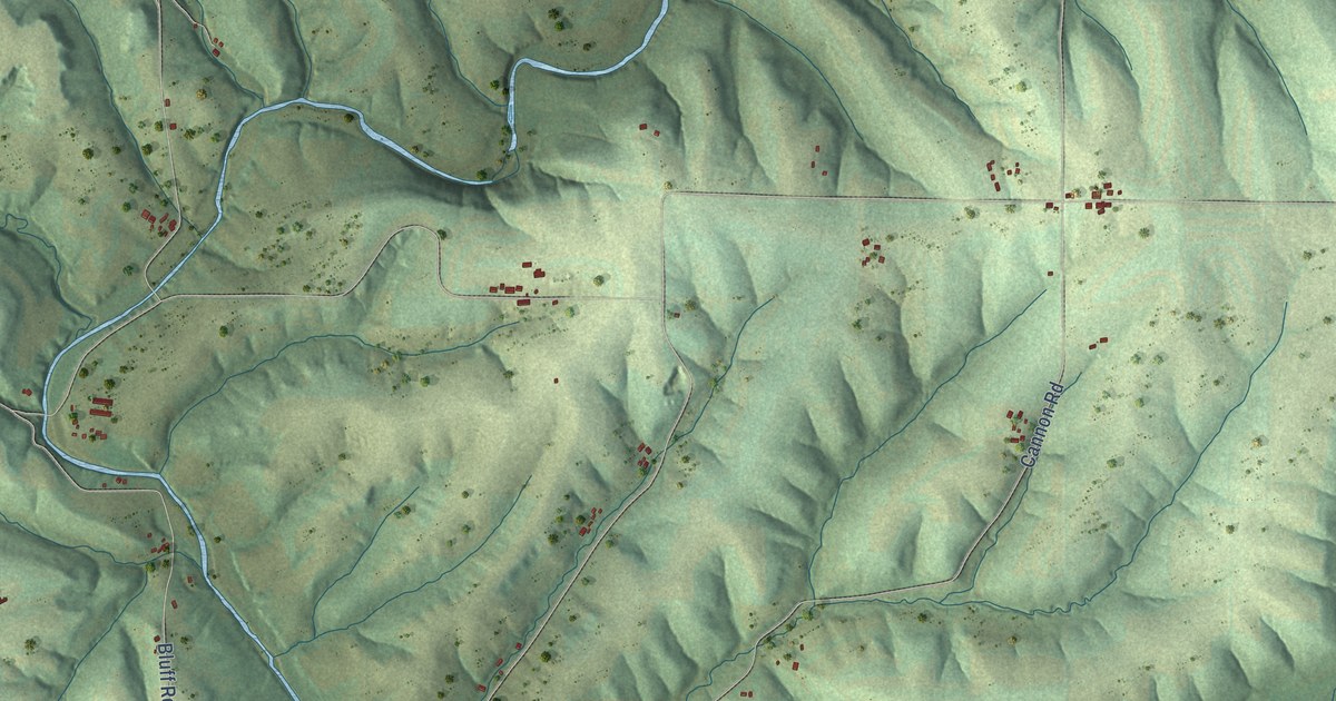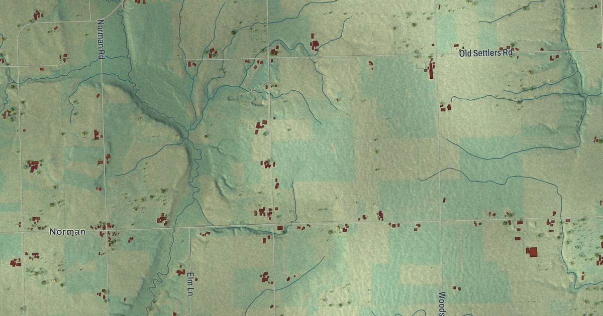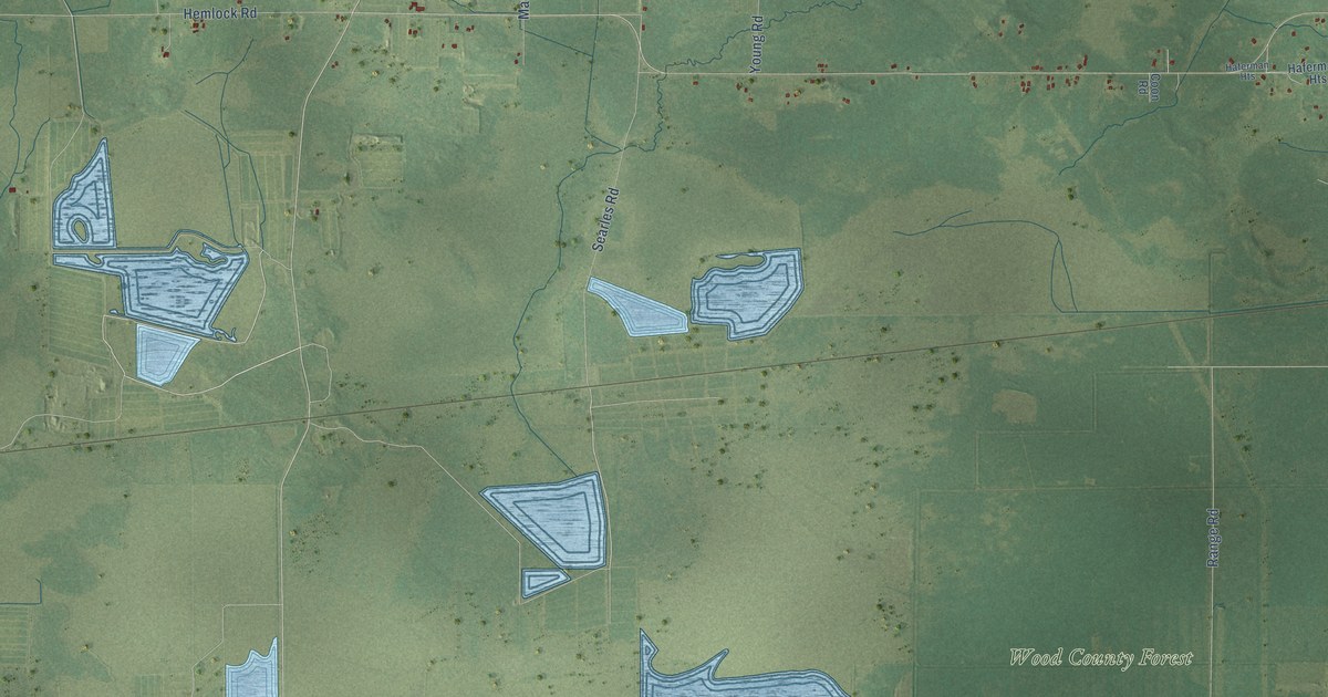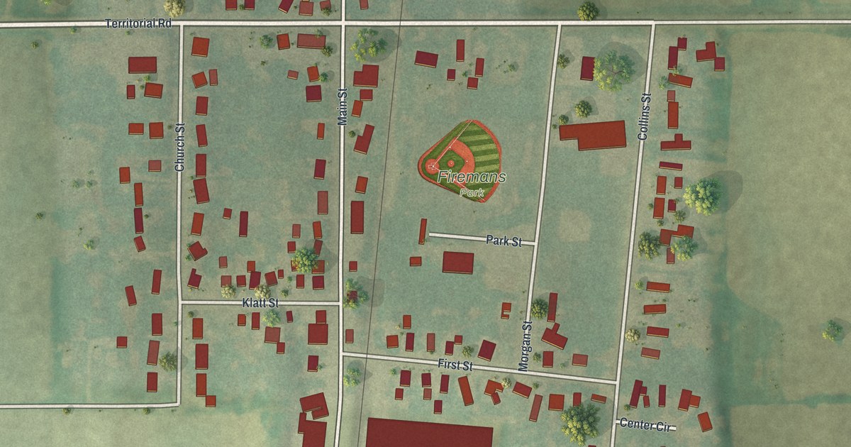
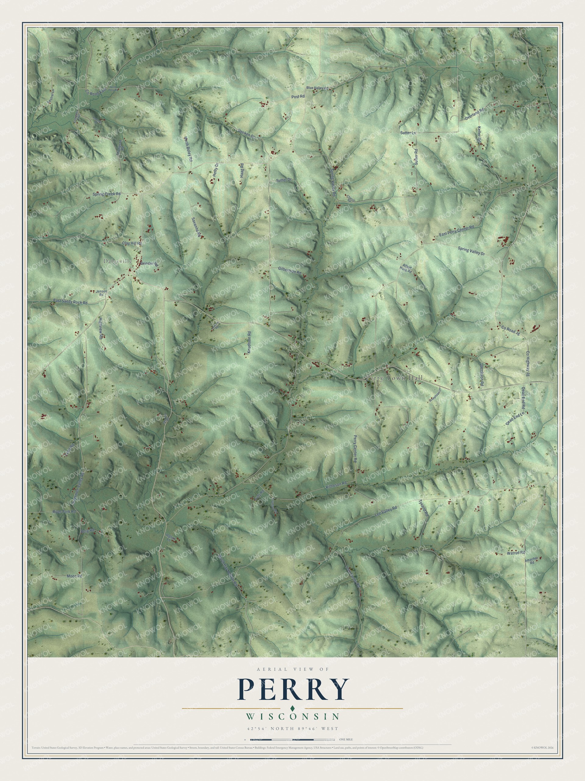
This beautifully detailed map of Perry, Wisconsin was created in 2026 using aerial imagery combined with modern topographical, census, street and landmark data. It's a modern aerial view of Perry in Dane County, Wisconsin, that combines modern data with a vintage aesthetic. The roads feature printed names, and if you look closely you can find your exact house accurately shown in its correct location.
Explore an aerial view of Perry, Wisconsin
On this map you'll find Perry Town Hall, Daleyville, Lee Valley Road, East Sandy Rock Road, Perry Center Road, Berg Road, Co Highway Jg, Co Road Jg, Drammen Valley Road, Spring Valley Road, Sutter Road, East Perry Center Road, and more. Each red shape is a building, so zoom in on the preview and look for yours.
Here is a piece of Perry history, in the words of the record. The A History of Madison puts it this way: "The town was named in honor of Commodore Perry, of Lake Erie fame. It was first settled in the spring of 1846, by John Brown, a native of Indiana, who settled on section 27."
Perry is a town in Dane County. The Census Bureau counted 737 people here in 2020.
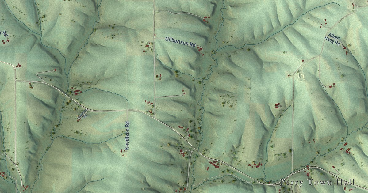
Take a closer look at the Perry map
Names on this map
These names are printed on this map.
Places: Perry Town Hall and Daleyville.
Streets and roads: Lee Valley Road, East Sandy Rock Road, Perry Center Road, Berg Road, County Highway Jg, County Road Jg, Drammen Valley Road, Spring Valley Road, Sutter Road, East Perry Center Road, Kittleson Road, Tyvand Road.
More street names, A to Z
Albert Haag Road, Amacher Road, Anderson Road, Blue Valley Road, Church Road, Clay Hill Road, County Road East, Dead End Lane, Dead End Road, Docken Drive, Duffy Road, Evergreen Trail, Gilbertson Road, Grinder Road, Haag Road, Hefty Drive, Highview Road, Jacobson Road, Jeglum Lane, Jensen Road, Josephson Lane, Keller Road, Kestrel Lane, Knudtson Road, Kvamme Road, Lund Road, Moen Road, North Boley Road, North Hay Hollow Road, North Perry Road, Overland Road, Post Road, River Fork Road, Savanna Road, Sherven Road, Spring Creek Road, Spring Valley Drive, Sutter Drive, Sutter Lane, Thompson Road, Truman Road, Watrud Road, York Valley Road.
Created by KNOWOL in 2026. The buildings are small red shapes, the roads carry their printed names, and shaded relief shows the shape of the land. The title panel reads "AERIAL VIEW OF PERRY, WISCONSIN" with 42°54' NORTH 89°46' WEST.
It suits a den, a classroom or a front hall, and it makes a gift for anyone with Perry roots. Open the preview and find the block you know. See sizes and frames for the Perry map.