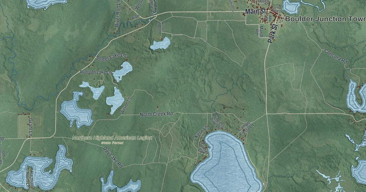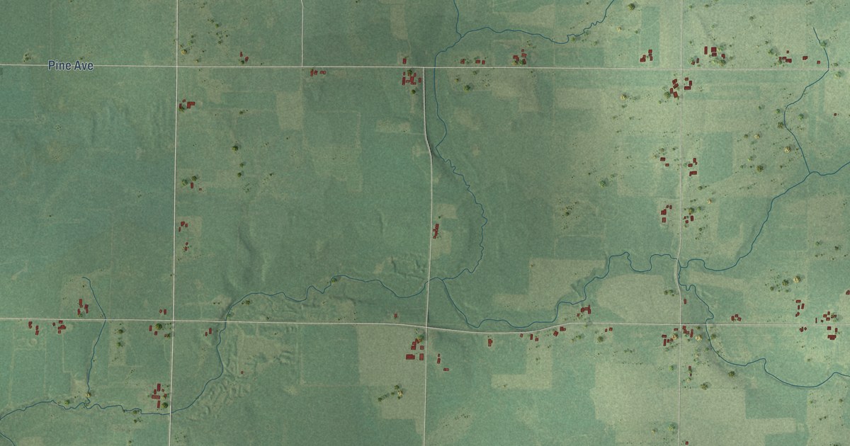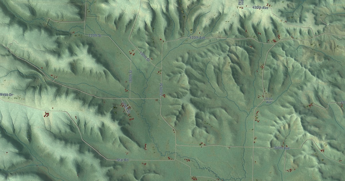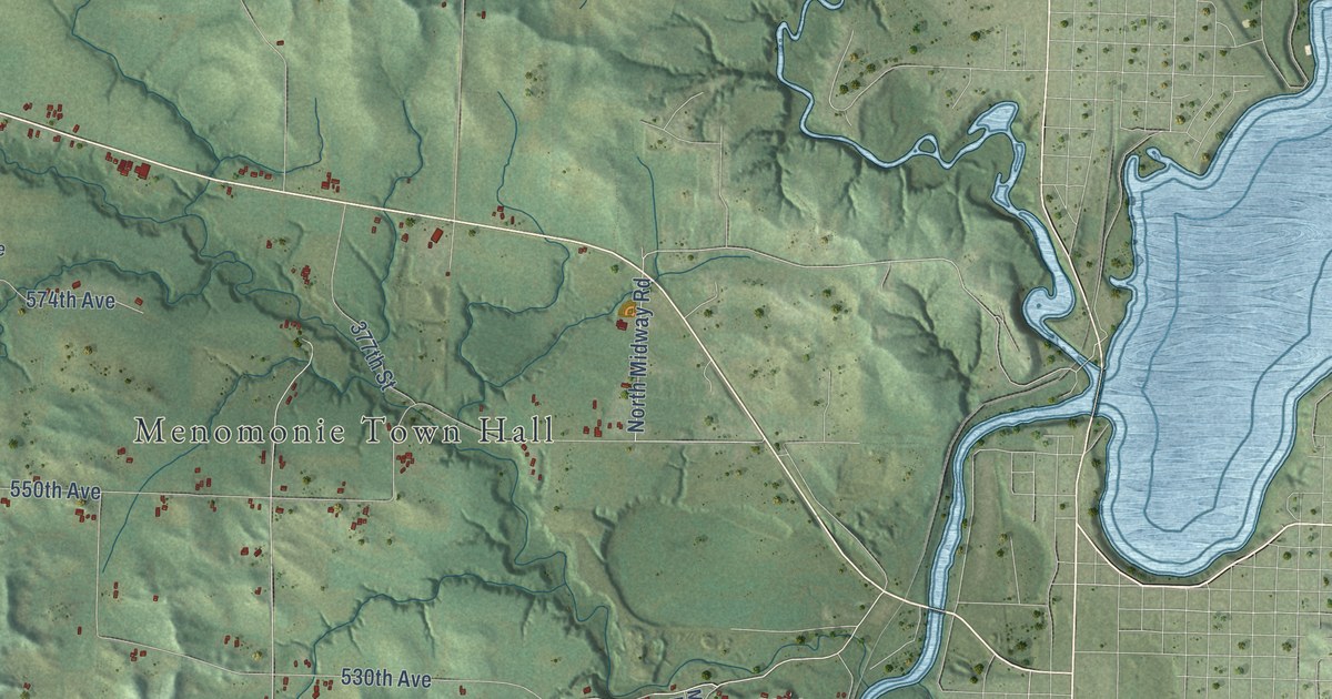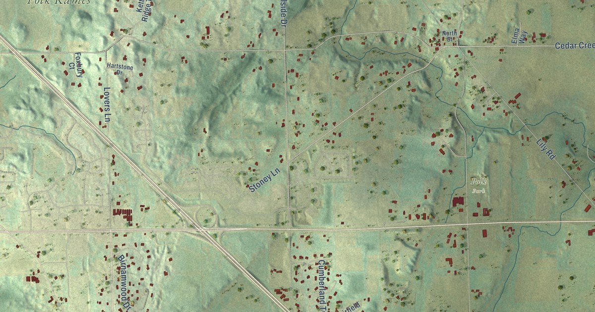
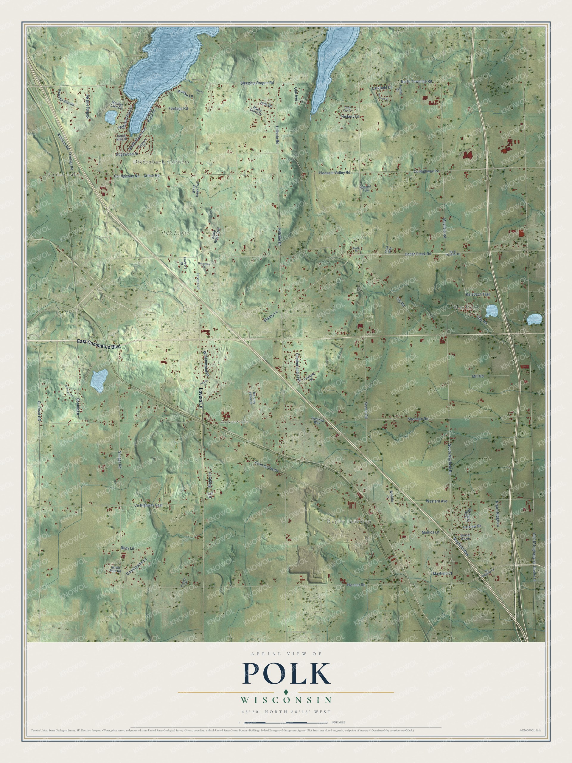
This beautifully detailed map of Polk, Wisconsin was created in 2026 using aerial imagery combined with modern topographical, census, street and landmark data. It's a modern aerial view of Polk in Washington County, Wisconsin, that combines modern data with a vintage aesthetic. The roads feature printed names, and if you look closely you can find your exact house accurately shown in its correct location.
Explore an aerial view of Polk, Wisconsin
On this map you'll find Cedar Lake, Diefenbach Corners, Ackerville, Rugby Junction, Polk Park, Polk Kames, Mayfield, East Commerce Boulevard, Lovers Lane, Cedar Creek Road, South Mayfield Road, Mayfield Road, and more. Each red shape is a building, so zoom in on the preview and look for yours.
Every town has a first chapter, and Polk is no exception. The History of Washington and Ozaukee Counties puts it this way: "T. W. Maxon came to the county in 1843; located first at Mequon, and finally settled in the town of Polk, where he now resides, having long since retired from the business."
Polk is a town in Washington County. The Census Bureau counted 3,988 people here in 2020.
Take a closer look at the Polk map
Names on this map
These names are printed on this map.
Places: Cedar Lake, Diefenbach Corners, Ackerville, Rugby Junction, Polk Park, Polk Kames and Mayfield.
Streets and roads: East Commerce Boulevard, Lovers Lane, Cedar Creek Road, South Mayfield Road, Mayfield Road, Hillside Drive, Pioneer Road, Pleasant Valley Road, County Highway Pv, Fond du Lac Drive, Monica Lane, Sherman Road.
More street names, A to Z
Addison Road, Arthur Road, Birnamwood Drive, Bogey Lane, Bonnie Lane, Briarvale Drive, Briarwood Drive, Bridle Path Road, Cedar Hills Drive, Club Drive, Countryside Lane, County Highway East, County Highway Fd, County Highway Nn, County Road CC, Cumberland Trail, Daisy Lane Circle, Edgewood Drive, Elma Way, Fairfield Road, Family Drive, Farview Drive, Fontana Beach Road, Fontana Road, Foxboro Lane, Foxbury Court, Frontage Road, Glacier Trail, Hartstone Drive, Hickory Lane, Highland Park Drive, Hillside Road, Janz Drive, Katzbach Trail, Kettle Ridge Trail, Lagoon Lane, Lakeview Circle, Larkfield Drive, Lily Road, Long Valley Road, Maple Grove Drive, Mayfield Court, Mayfield Way, Mill Road, Moraine Valley Drive, Mueller Lake Road, Mueller Lane, North Mayfield Road, North Street, North Townline Road, Oak Avenue, Old US Highway 45, Peaceful Hills Road, Pioneer Trail, Praire Ridge Lane, Riley Lane, Rolling Hill Road, Scenic Road, Shadow Lane, Sherman Way, Sleeping Dragon Road, Slinger Road, South Shore Avenue, Stoney Lane, Sunset Graze, Tilly Road, Western Avenue, White Hawk Trail, Wildlife Lane.
Created by KNOWOL in 2026. The buildings are small red shapes, the roads carry their printed names, and shaded relief shows the shape of the land. The title panel reads "AERIAL VIEW OF POLK, WISCONSIN" with 43°20' NORTH 88°13' WEST.
Hang it in the hallway, the office or the cabin, or give it to someone who left Polk and still calls it home. Open the preview and look for a street you know. See sizes and frames for the Polk map.