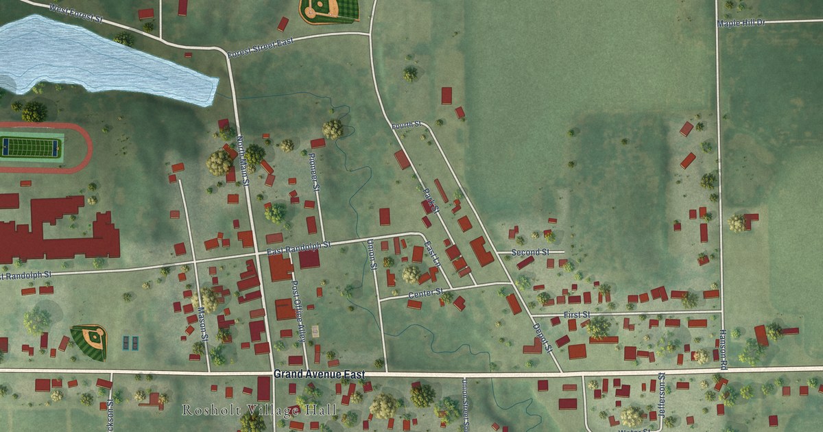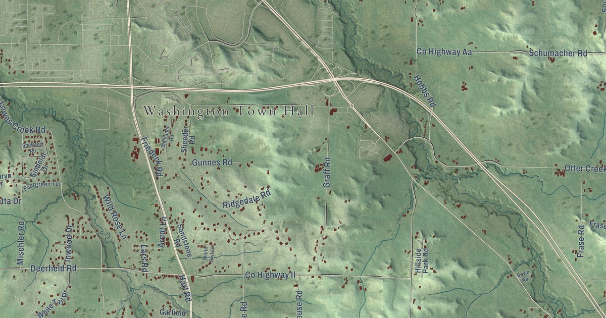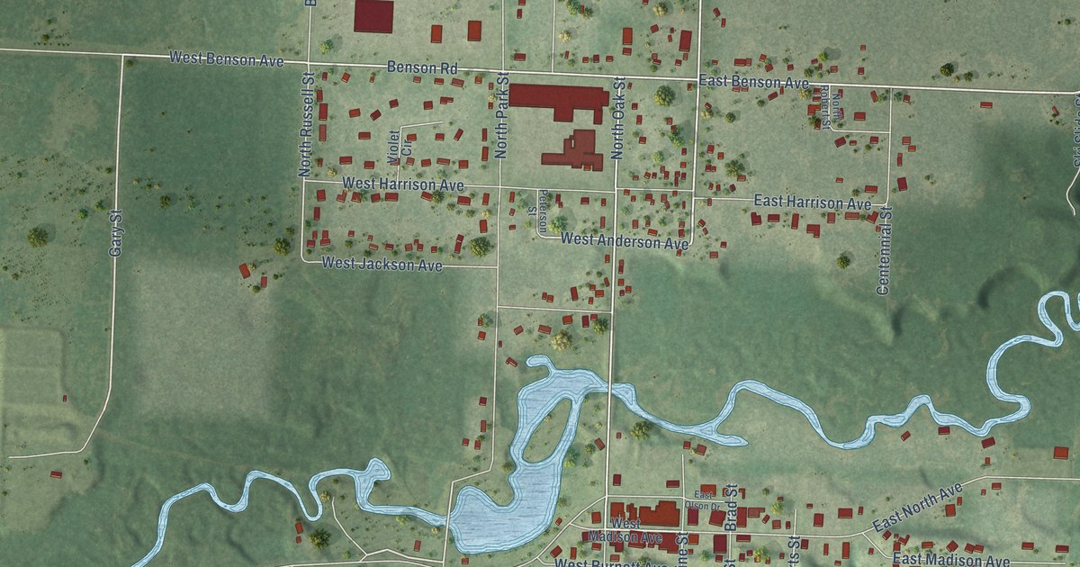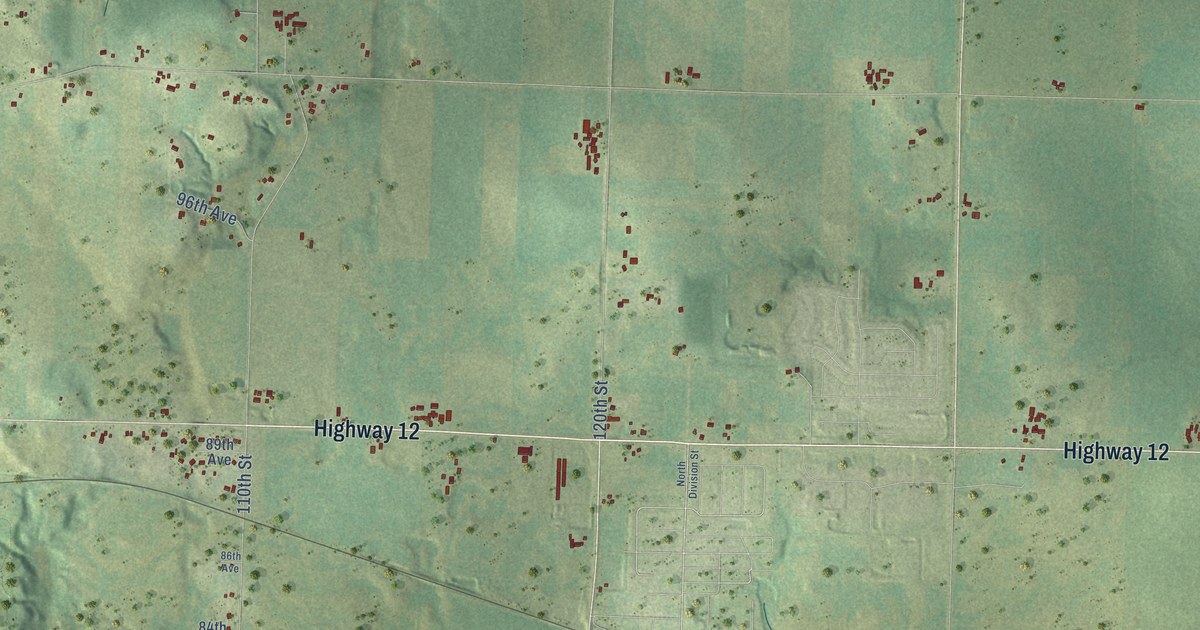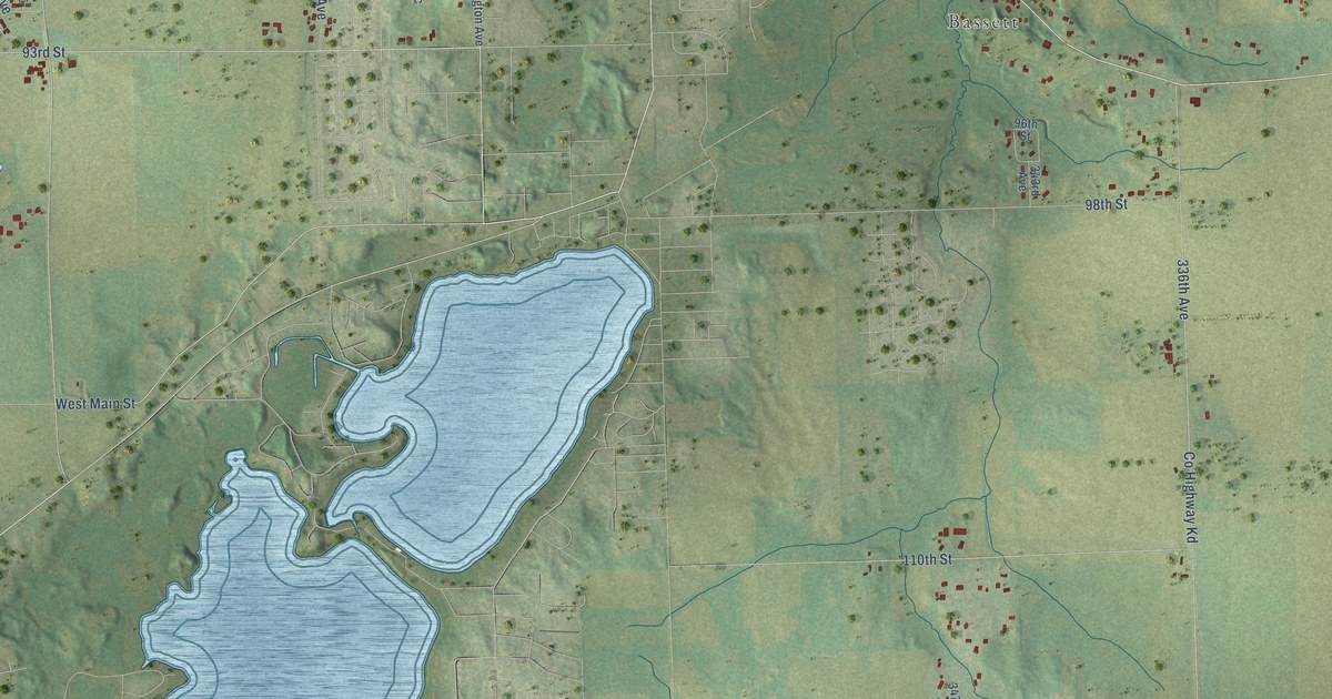
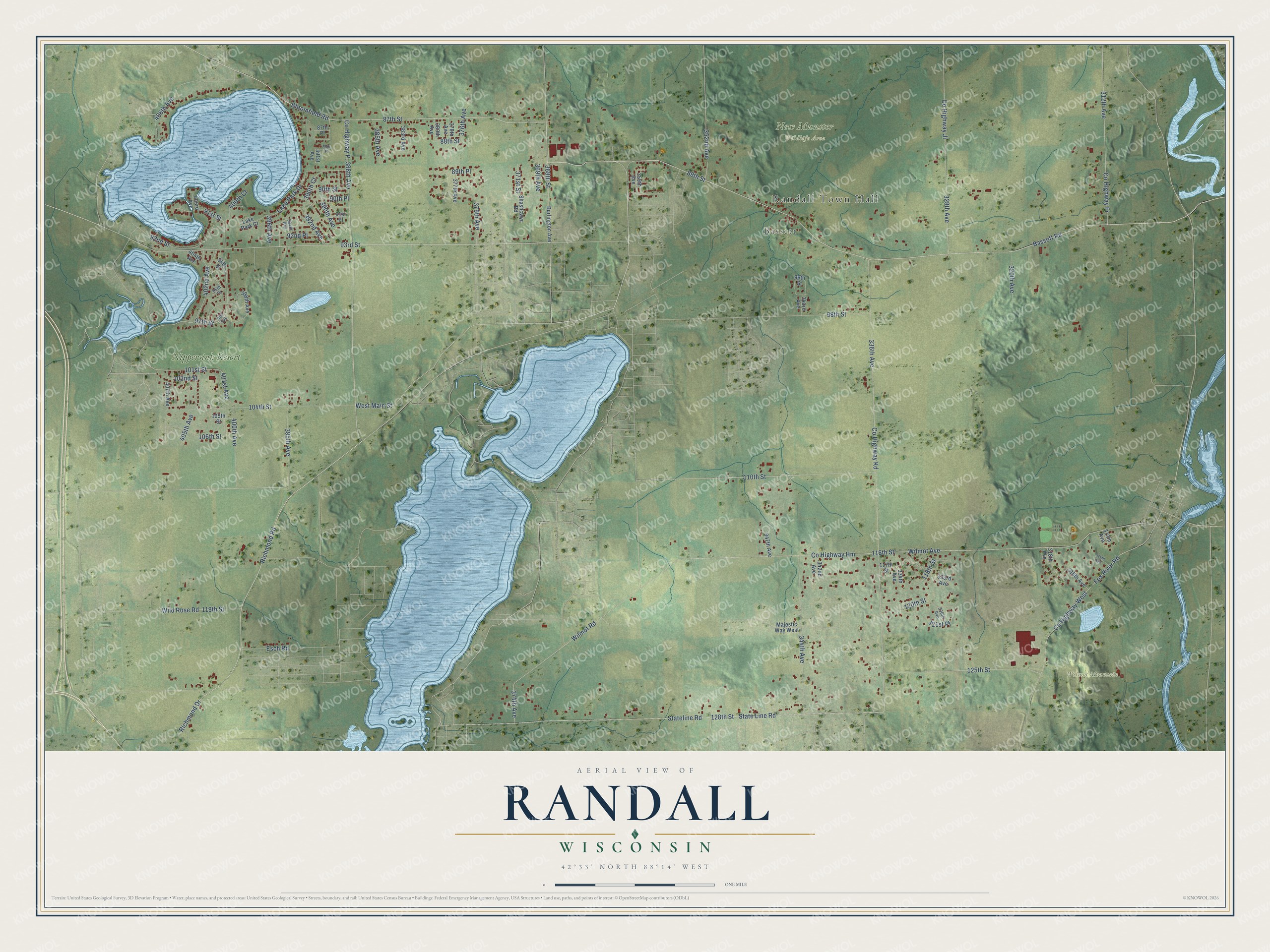
This beautifully detailed map of Randall, Wisconsin was created in 2026 using aerial imagery combined with modern topographical, census, street and landmark data. It's a modern aerial view of Randall in Kenosha County, Wisconsin, that combines modern data with a vintage aesthetic. The roads feature printed names, and if you look closely you can find your exact house accurately shown in its correct location.
Explore an aerial view of Randall, Wisconsin
On this map you'll find Randall Town Hall, Bassett, New Munster Wildlife Area, Wilmot Mountain, Nippersink Resort, 93rd Street, Co Highway P, 388th Avenue, Bloomfield Road, West Main Street, Richmond Road, Richmond Drive, 125th Street, and more. Each red shape is a building, so zoom in on the preview and look for yours.
Every town has a first chapter, and Randall is no exception. The Internet Archive puts it this way: "Was appointed first Justice of the Peace by Uu
emor, on Wisconsin first becoming a State."
Randall is a town in Kenosha County. The Census Bureau counted 3,285 people here in 2020.
Take a closer look at the Randall map
Names on this map
These names are printed on this map.
Places: Randall Town Hall, Bassett, New Munster Wildlife Area, Wilmot Mountain and Nippersink Resort.
Streets and roads: 93rd Street, Bloomfield Road, West Main Street, Richmond Road, Richmond Drive, 125th Street, 101st Street, 400th Avenue, Bassett Road, 89th Street, 102nd Street, County Highway West.
More street names, A to Z
87th Place, 87th Street, 88th Place, 88th Street, 89th Place, 90th Place, 90th Street, 91st Place, 91st Street, 92nd Place, 92nd Street, 94th Street, 95th Street, 96th Street, 97th Street, 98th Street, 104th Street, 105th Street, 106th Street, 110th Street, 116th Street, 117th Street, 118th Street, 119th Street, 120th Street, 121st Place, 128th Street, 312th Avenue, 313th Avenue, 314th Avenue, 316th Avenue, 318th Avenue, 320th Avenue, 328th Avenue, 330th Avenue, 333rd Avenue, 334th Avenue, 336th Avenue, 342nd Avenue, 343rd Avenue, 344th Avenue, 347th Avenue, 352nd Avenue, 359th Avenue, 368th Street, 369th Avenue, 371st Street, 374th Avenue, 375th Avenue, 376th Avenue, 377th Avenue, 378th Avenue, 380th Avenue, 383rd Avenue, 385th Avenue, 390th Avenue, 390th Court, 391st Avenue, 392nd Avenue, 394th Avenue, 395th Avenue, 396th Avenue, 398th Avenue, 400 Avenue, 400th Court, 401st Avenue, 402nd Avenue, 403rd Avenue, 404th Avenue, 405th Avenue, 406th Avenue, 407th Avenue, Burlington Avenue, County Highway Fr, County Highway Hm, County Highway Ji, County Highway Kd, Esch Road, Fox River Road, Lake Park Court, Lake Park Drive, Majestic Way West, Shashcwyc Road, State Line Road, Stateline Road, Wild Rose Road, Wilmot Avenue, Wilmot Road.
Created by KNOWOL in 2026. The buildings are small red shapes, the roads carry their printed names, and shaded relief shows the shape of the land. The title panel reads "AERIAL VIEW OF RANDALL, WISCONSIN" with 42°33' NORTH 88°14' WEST.
Hang it in the hallway, the office or the cabin, or give it to someone who left Randall and still calls it home. Open the preview and look for a street you know. See sizes and frames for the Randall map.